Merrijig Road
22 km
distance
28 min
Contour time
8.2
avg score
Sealed
surface
Scenery
Victoria
The Delatite River rises on the slopes of Mount Buller and flows west through Merrijig to join the Goulburn River above...
Road quality
8.2 RQS
Strong. Above average on most quality signals.
Accessibility
Fully sealed
Best in Sports car. Peak season: Year-round.
7-day forecast
Accessible and enjoyable for all vehicle types. A good warm-up stage before the Buller climb or a pleasant standalone drive.
Scored 8.2/10 by Contour's road quality algorithm across curviness, surface, elevation and traffic. Best suited for sports car drivers.
The road
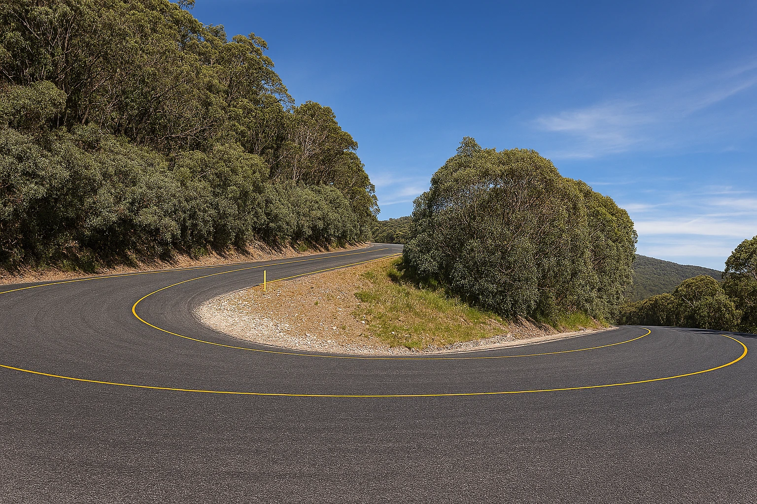
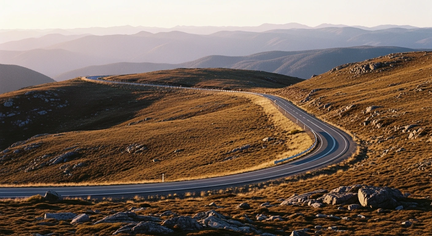
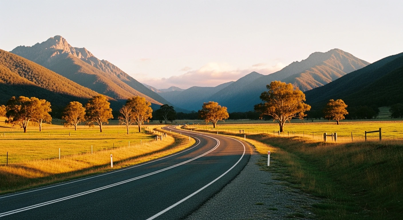
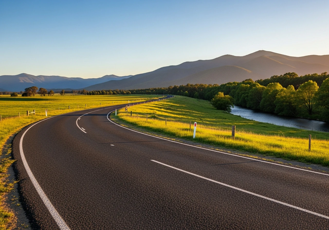
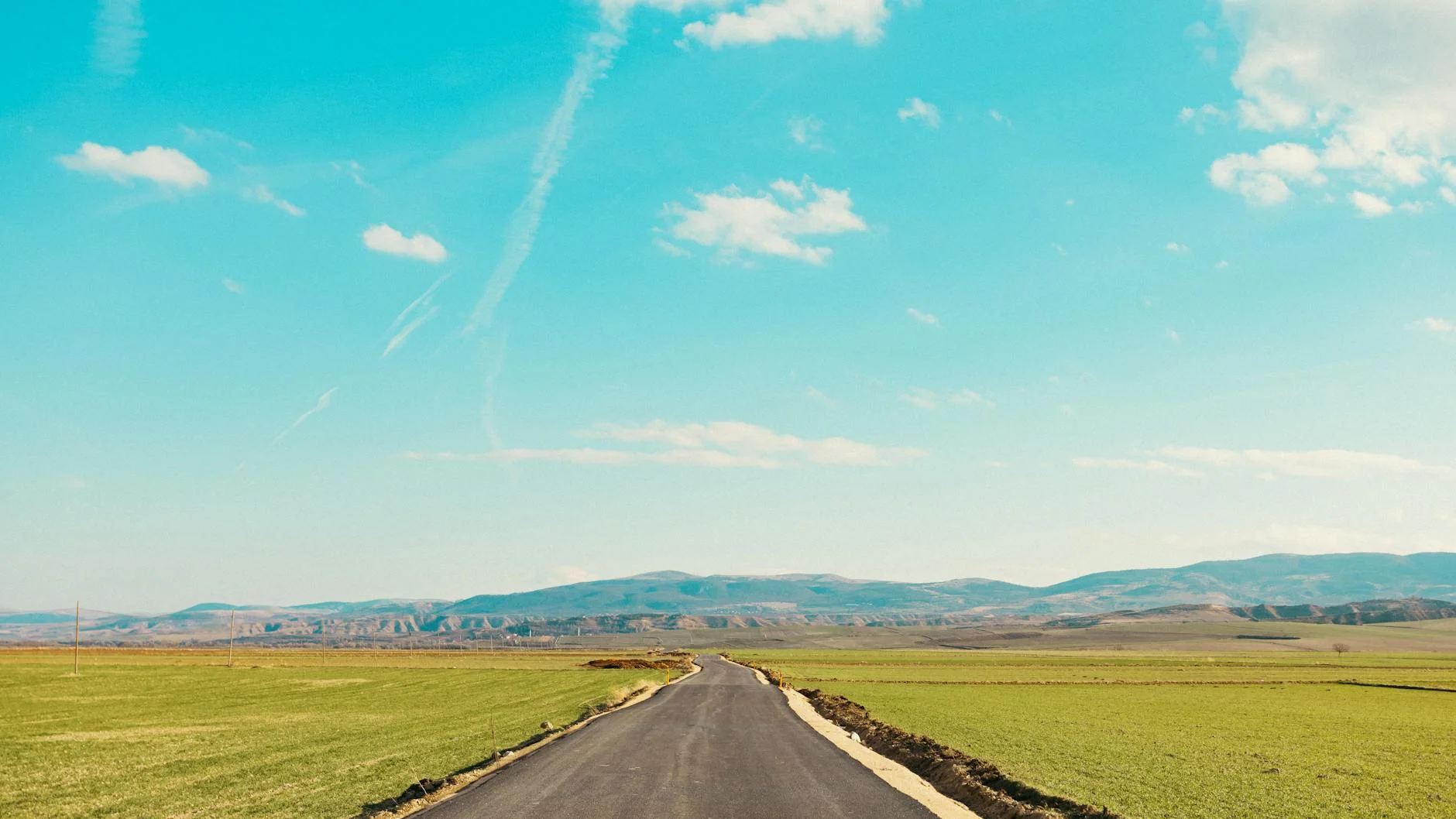
The Merrijig Road from Mansfield to the Mount Buller access road junction is the valley connector stage of the Victorian Alpine collection. The 22-kilometre route follows the Delatite River valley east from Mansfield, running across the valley floor and occasionally climbing the valley wall before dropping back to the river. The Alps are visible throughout on the eastern horizon. The road character is open and flowing - wider than the mountain stages, better sightlines, more forgiving of small errors. It is the stage that lets you settle into the rhythm before the technical demands of the Buller climb. The Merrijig Hotel at the midpoint has been feeding mountain road travellers for over a century.
The Merrijig Road from Mansfield to the Mount Buller access road junction is the valley connector stage of the Victorian Alpine collection.
Why this road
The region
The Delatite River rises on the slopes of Mount Buller and flows west through Merrijig to join the Goulburn River above Lake Eildon. The valley was settled for grazing from the 1840s and remains predominantly pastoral. Merrijig was the setting for events in Elyne Mitchell's Silver Brumby novels.
Before you go
Fuel in Mansfield. The Merrijig Hotel is a good lunch stop. Road conditions are generally good year-round, though flooding can affect the valley floor sections after heavy rain.
See a routing error?
Flag itWorth stopping for
Merrijig Hotel
Country pub that has served the Buller road travellers for over 100 years.
Lake Eildon National Park
20 minutes west of Mansfield, with good water access and camping.
Route
Start
Mansfield
End
Merrijig
Gallery
More roads like this