Electric Vehicle
Smooth roads. Real elevation.
Surface quality first - reduces rolling resistance. Elevation rewarded for regen on descents. Low traffic keeps speed consistent.
Different roads for
different physics.

Smooth tarmac = more range.
The top-weighted factor for EVs. Smooth tarmac reduces rolling resistance and protects range. Rough or corrugated surfaces score low.
Climb up. Recover coming down.
Weighted higher than in any other profile. Descents generate regen. The algorithm looks for roads where you'll climb and then recover energy on the way down.
Stop-start traffic kills range.
Lower-traffic roads keep speed consistent - and your range with it.
Why this profile
Descents generate power.
The EV profile weights smooth sealed surface highest - reduces rolling resistance. Elevation change is second - descents generate regen. Low traffic keeps speed consistent for range prediction.
See the scoring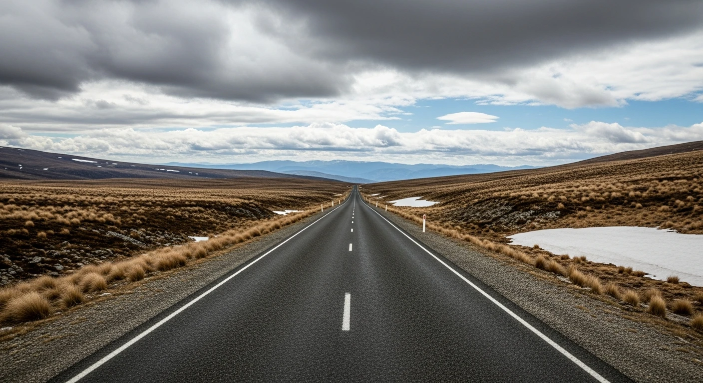
Try it with your next drive
Enter any two points. We find the best EV roads - regen descents, smooth surfaces, charging stops along the way.
High regen. Low traffic.
Worth the trip.
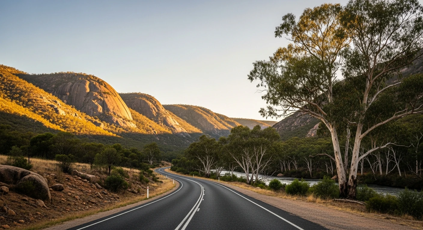
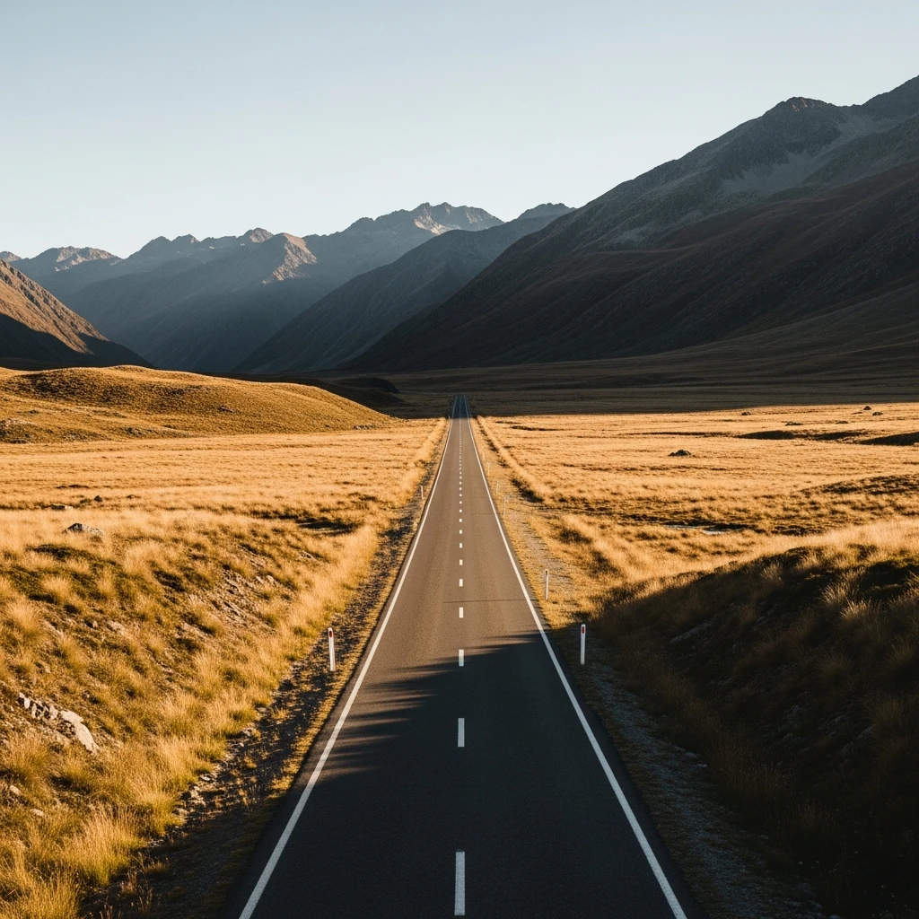
Smooth sealed surface, sustained elevation changes through the ranges. Regen-friendly from every descent.
Armidale to Coffs Harbour via the Dorrigo Plateau. Significant descent, excellent surface, minimal traffic.
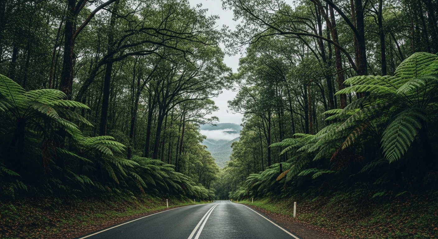
Climbs to nearly 1,000m and descends through wilderness. Minimal traffic, excellent surface.
The descent is part of the route.
Flat routes avoid regen altogether. The EV profile seeks elevation change - specifically routes where you climb, then descend, recovering energy. Pure flat highways score lower than alpine roads with significant descent sections. It's not a range calculator. It's route selection that puts you on roads where you'll naturally recover energy.
Road climbs
Curviness + gradient combined
Road descends
Regen recovered
Smooth sealed surface
Rolling resistance minimised
More than range optimisation.
Contour builds a complete intelligence profile for every road. For EV drivers, that means knowing the surface, the gradient, and the conditions before you commit to the route.
Surface intelligence
Surface quality is the top-weighted factor for EVs. Smooth tarmac protects range. Rough surfaces drain it. Contour knows the difference at 500m resolution from satellite and government data.
Safety screening
Scores validated against 13 years of state crash records. Roads where the geometry doesn't match the speed limit are flagged. The roads Contour scores highest are statistically safer.
Live conditions
Condition reports from other drivers. Surface state, hazards, recent changes. Data expires so you plan on current information, not stale data.
Questions about
EV routing.
Does Contour route me to charging stations?
Not yet. Charging station integration is on the roadmap. For now, Contour focuses on finding the best roads for your EV - you'll want to plan charging stops separately using PlugShare or your car's built-in planner.
What makes a road good for an EV?
Three things: smooth sealed surface (reduces rolling resistance), meaningful elevation changes (descents generate regen), and low traffic (stop-start kills range). The EV profile weights all three.
Does it work for PHEVs and hybrids?
Yes. The EV profile works for any vehicle that benefits from smooth roads and regen. PHEVs and strong hybrids get the most out of it.
How is the range impact calculated?
Contour doesn't calculate exact range impact - that depends too much on your specific car, battery state, and driving style. What it does is route you through roads that maximise regen opportunity and minimise unnecessary stops.
Is it different from just finding a flat route?
Yes. Flat routes avoid regen altogether. The EV profile seeks elevation change - specifically routes where you climb, then descend, recovering energy. Pure flat highways score lower than alpine roads with significant descent sections.
Which states are best for EV road trips?
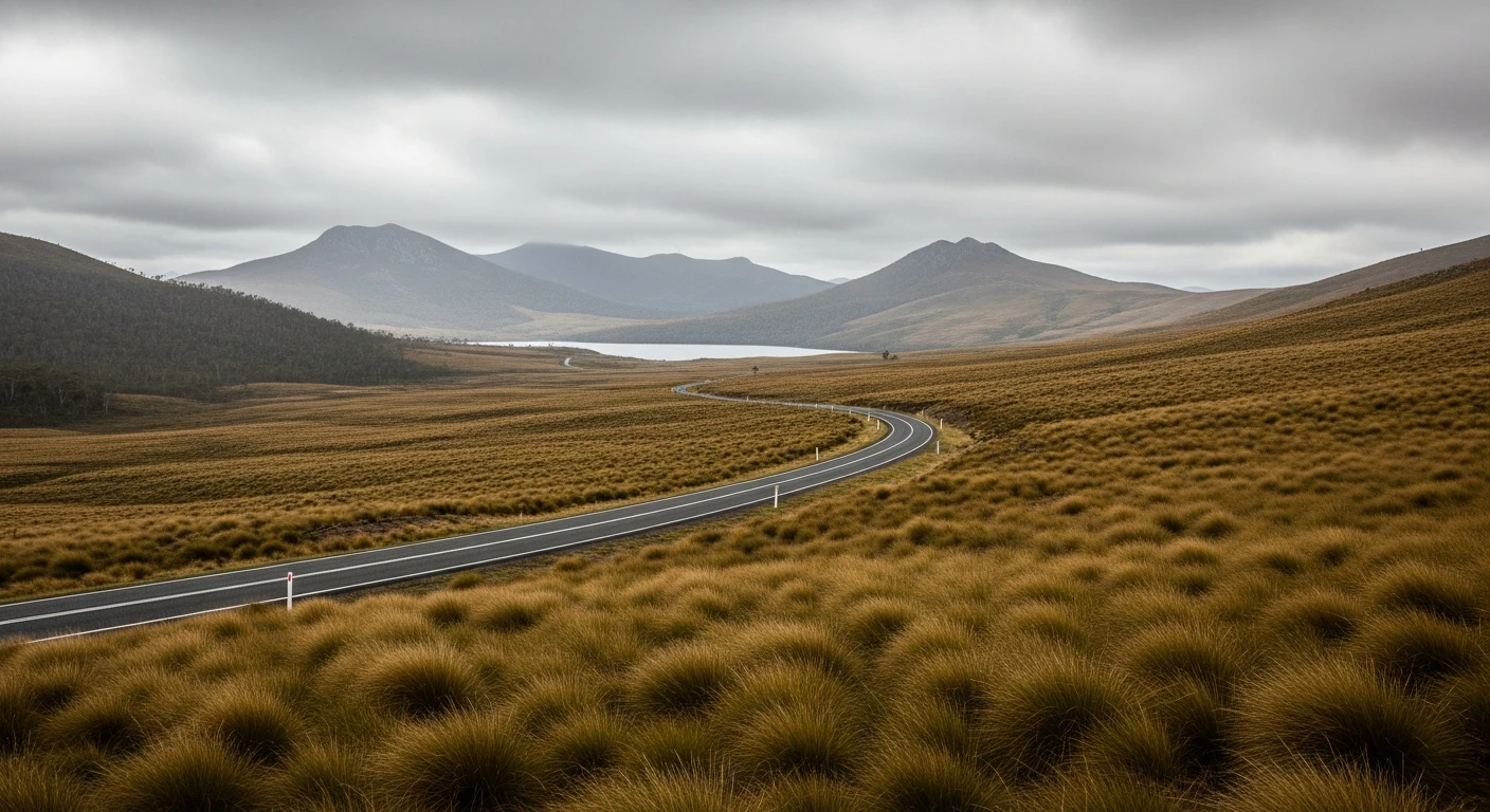
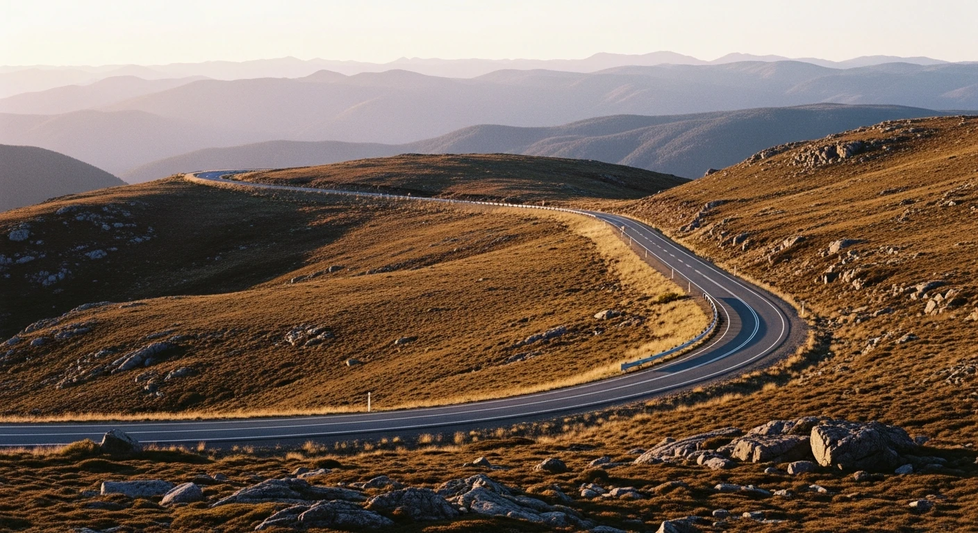
Victoria and NSW have the most regen-friendly roads - mountain descents from the High Country and the Blue Mountains escarpment recover real range. Tasmania is exceptional: low traffic, excellent surface, significant elevation changes. Queensland's coastal ranges (Gillies Range, Kuranda) have elevation but are shorter runs.
How does the Google Maps handoff work?
Contour builds your route with the best EV-scoring roads as intermediate waypoints. The plan page shows a preview before you commit. One tap opens Google Maps with the full route pre-loaded - every waypoint set, navigation starts immediately.
 Descents generate regen
Find roads that give you range.
Smooth surface. Real regen. Enter any start and end point in Australia.