About
Google Maps doesn't know what a good road is.
Every road scored. Five vehicle profiles. Your route includes the best roads, not just the fastest ones.
The problem.
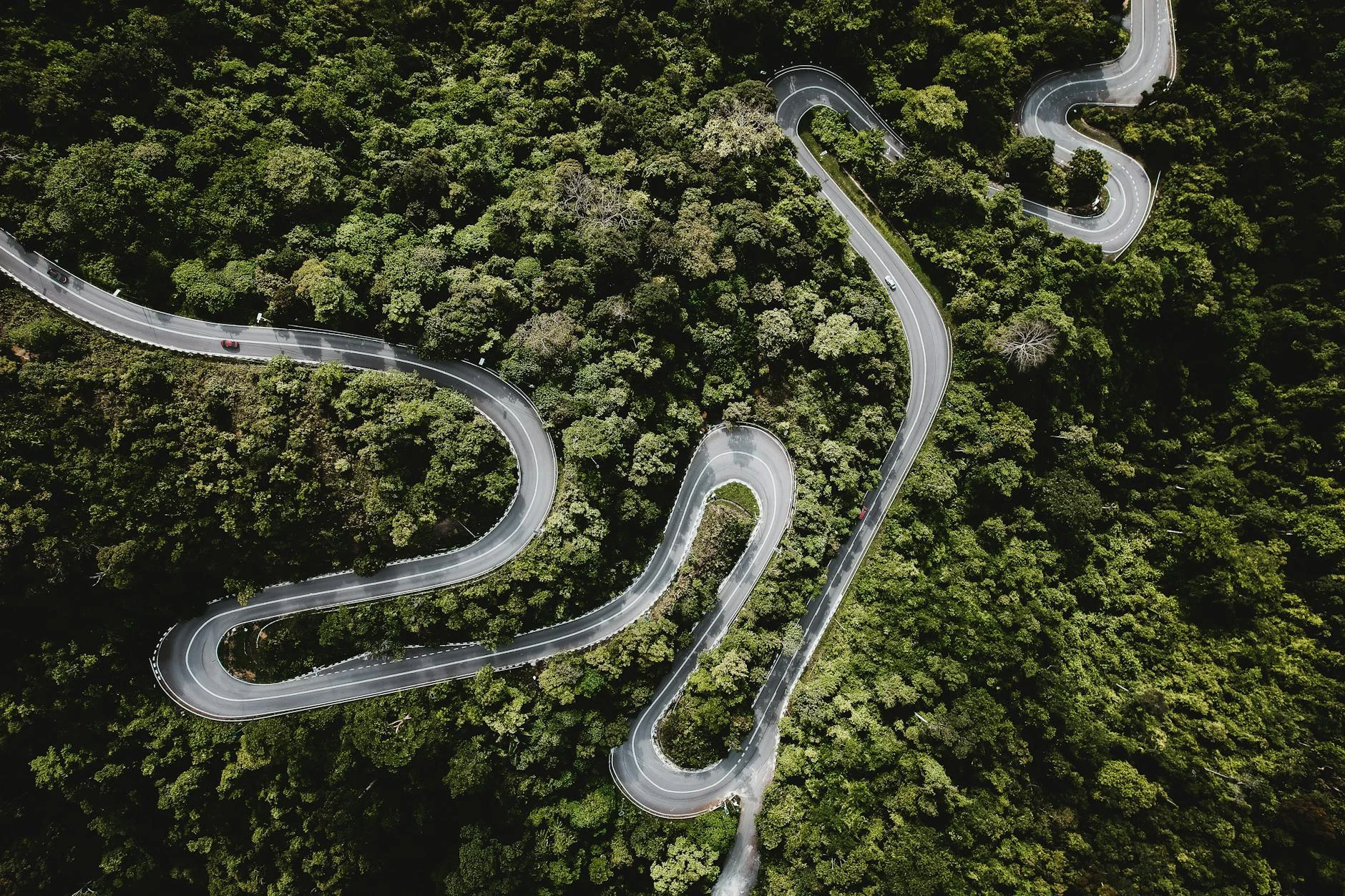
Ask Google Maps to route you from Melbourne to Mount Hotham and it will send you up the freeway. It won't consider the Black Spur. It won't route you via the Reefton Spur or the Upper Yarra Road. These roads exist in Google Maps - it just doesn't know they're worth driving.
The same problem applies in every state. The roads with the best curvature, the most interesting surfaces, and the least traffic are all indexed by Google - but never recommended, because Google's algorithm doesn't score roads for enjoyment.
What we built.
Score every road
Curviness, surface, speed environment, traffic, elevation, road class - and that's just the quality score. Add crash risk screening, track difficulty, recovery risk, and live conditions from other drivers. Over 40 signals per segment. What matters most changes for each vehicle profile.
Find the best roads on your route
When you set a destination, Contour finds the highest-scoring roads within your time budget and inserts them as waypoints.
Navigate normally in Google Maps
You get a deep-link to Google Maps with all waypoints pre-loaded. Navigate as you normally would - just on better roads.
The data behind every road
Every road is a dataset.
Curviness, surface type, speed environment, traffic density, elevation change, road class - and that's just the quality score. Add crash risk screening, track difficulty, recovery risk, and recent condition reports. Over 40 signals per road segment. What matters most changes for each vehicle profile.

Built on real data.
Contour draws from more than a dozen data sources. Road geometry and tags from OpenStreetMap. Elevation from NASA satellites. Speed zones from state and territory authorities. Mobile coverage data. Government track datasets. State crash records. Community condition reports from other drivers.
Every pipeline run is validated against benchmark roads we know by name. If Black Spur or the Great Alpine Road don't score where they should, nothing ships to production. The scoring is either right or it isn't - there's no in-between.
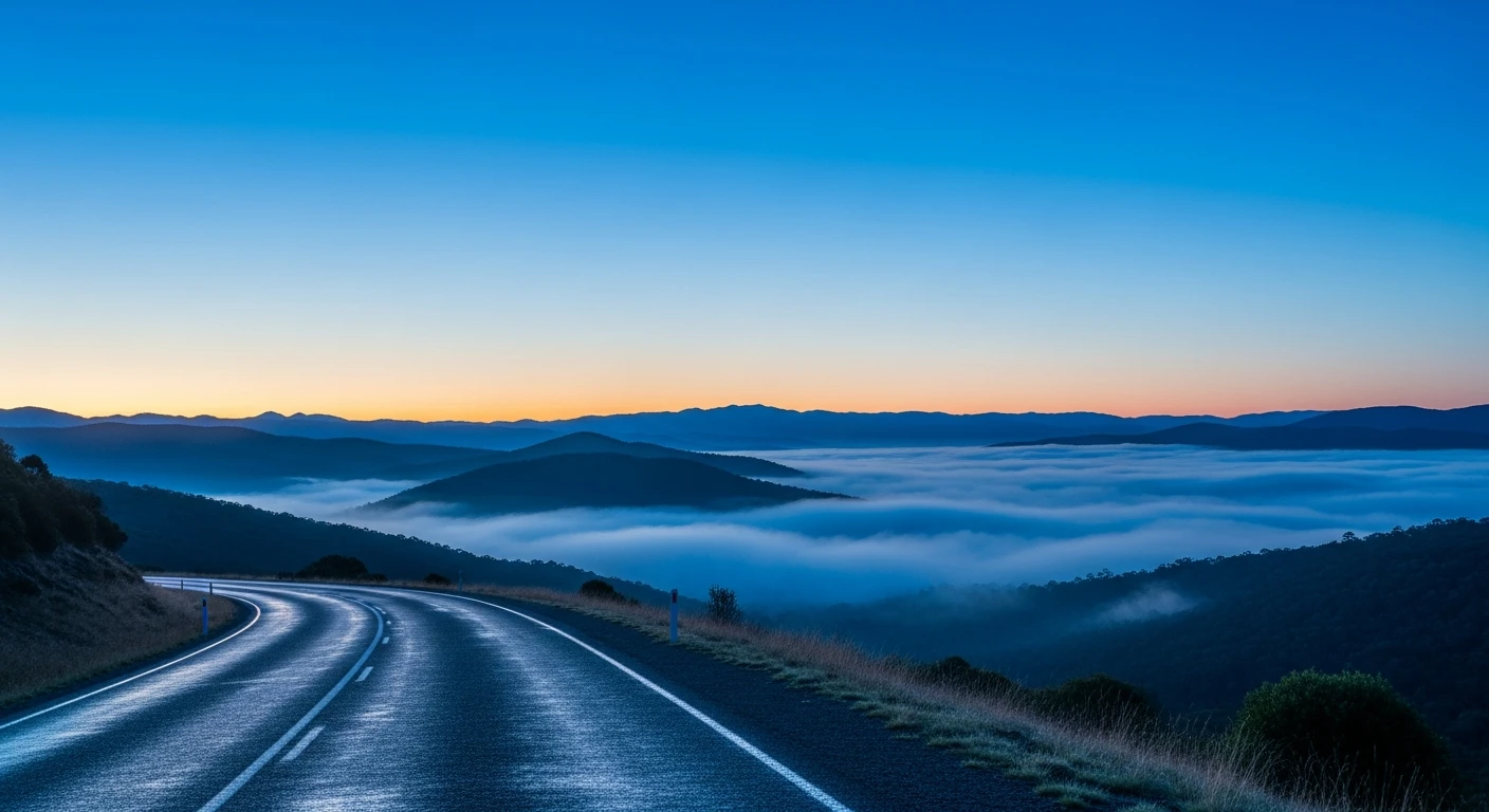
 Somewhere in the ranges
Why.
There are millions of drivers who would choose a better road if they knew about it. Sports car drivers. Motorbike riders. EV owners looking for regen sections. 4WD tourers planning multi-day trips through the High Country. They all need the same thing: a map that scores roads the way they think about roads.
Contour is that map. The route data, drive logs, and community reports it builds over time are also a real-time picture of how people actually use roads - something most mapping providers have never tried to capture.