Eildon to Marysville
50 km
distance
50 min
Contour time
5.4
avg score
Sealed
surface
Scenery
Victoria
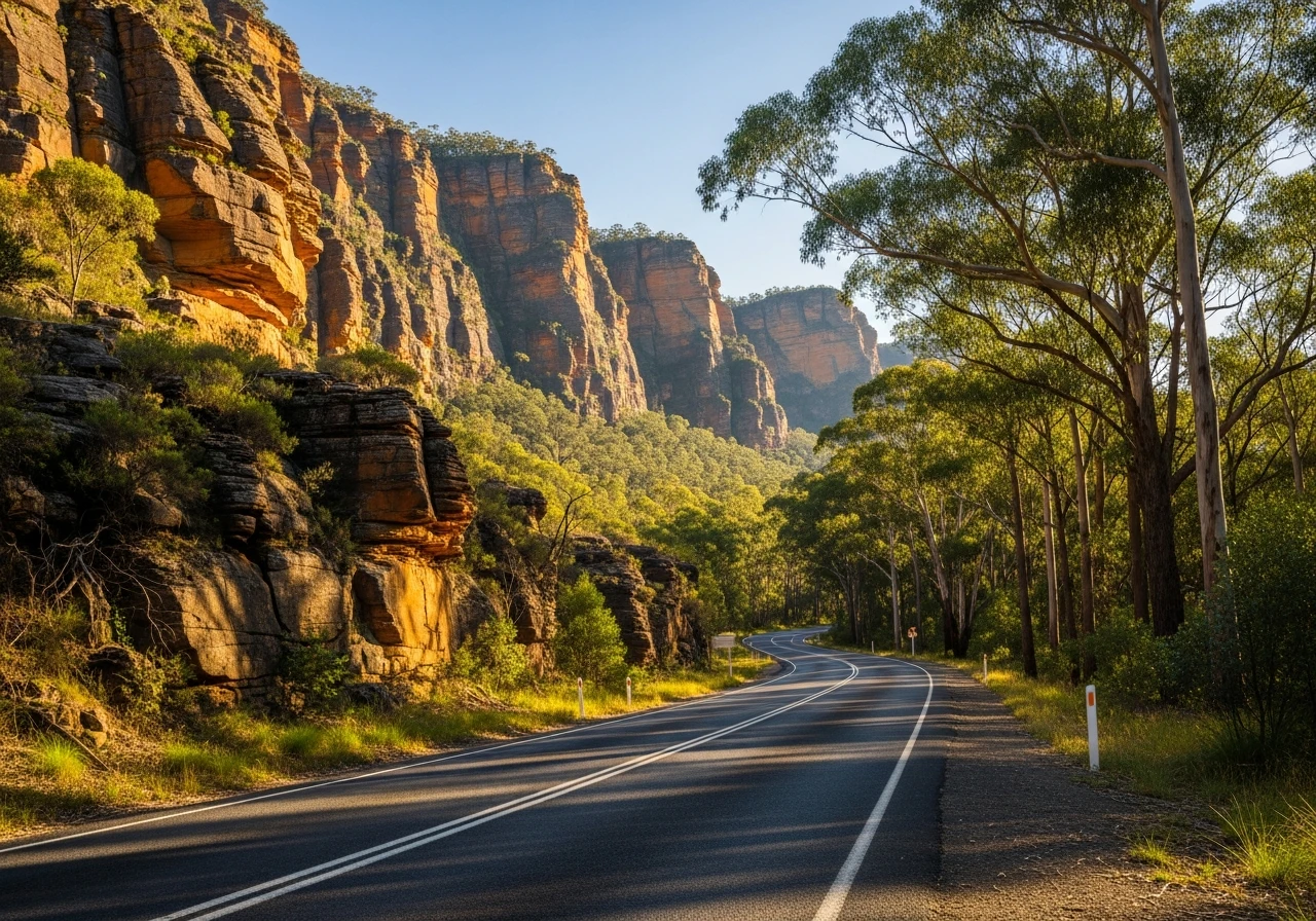
The Cathedral Ranges State Park preserves a sandstone ridge system that rises sharply above the valley floor....
Road quality
5.4 RQS
Every segment scored on 40+ data signals.
Accessibility
Fully sealed
Best in Sports car. Peak season: Year-round.
7-day forecast
Good stage for all vehicle types. The Cathedral Ranges section rewards the sports car.
Scored 5.4/10 by Contour's road quality algorithm across curviness, surface, elevation and traffic. Best suited for sports car drivers.
The road
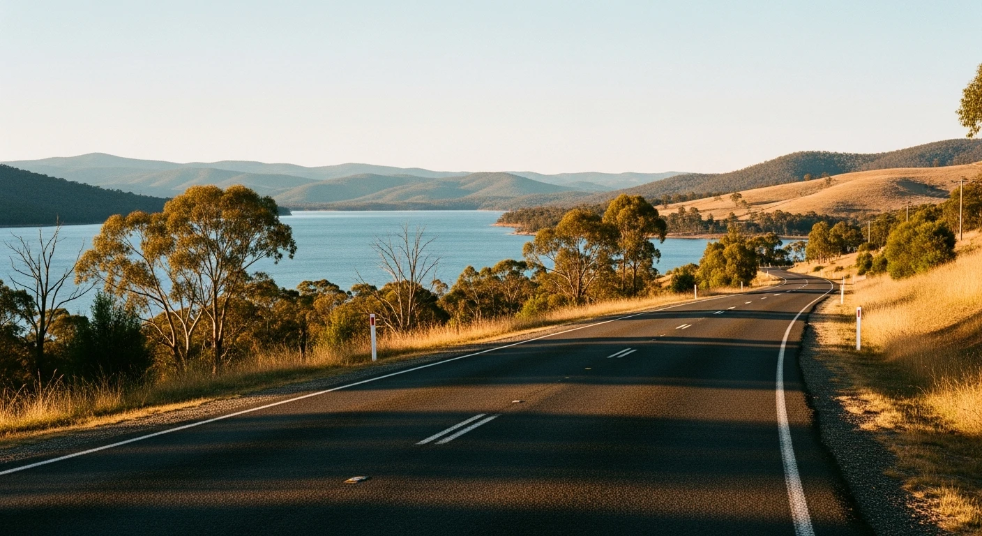
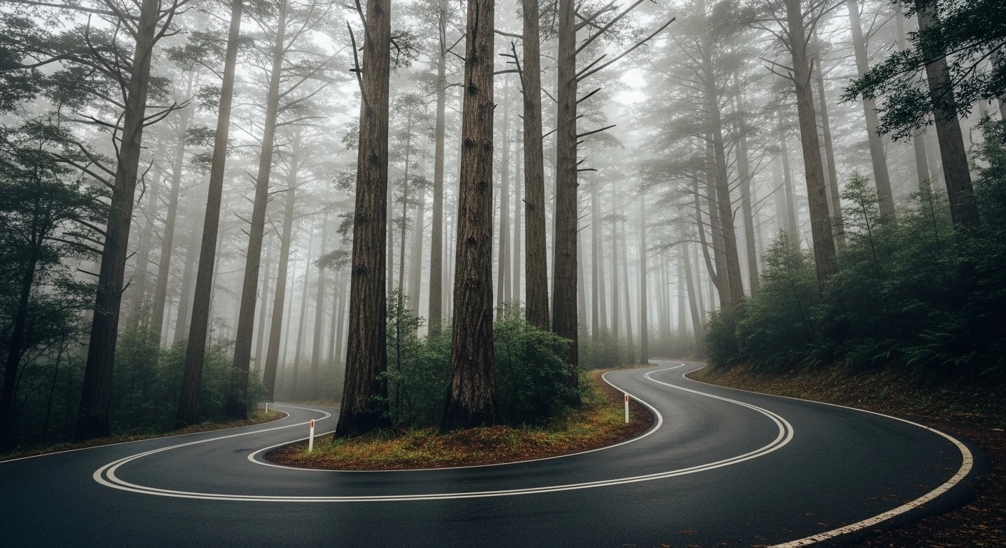
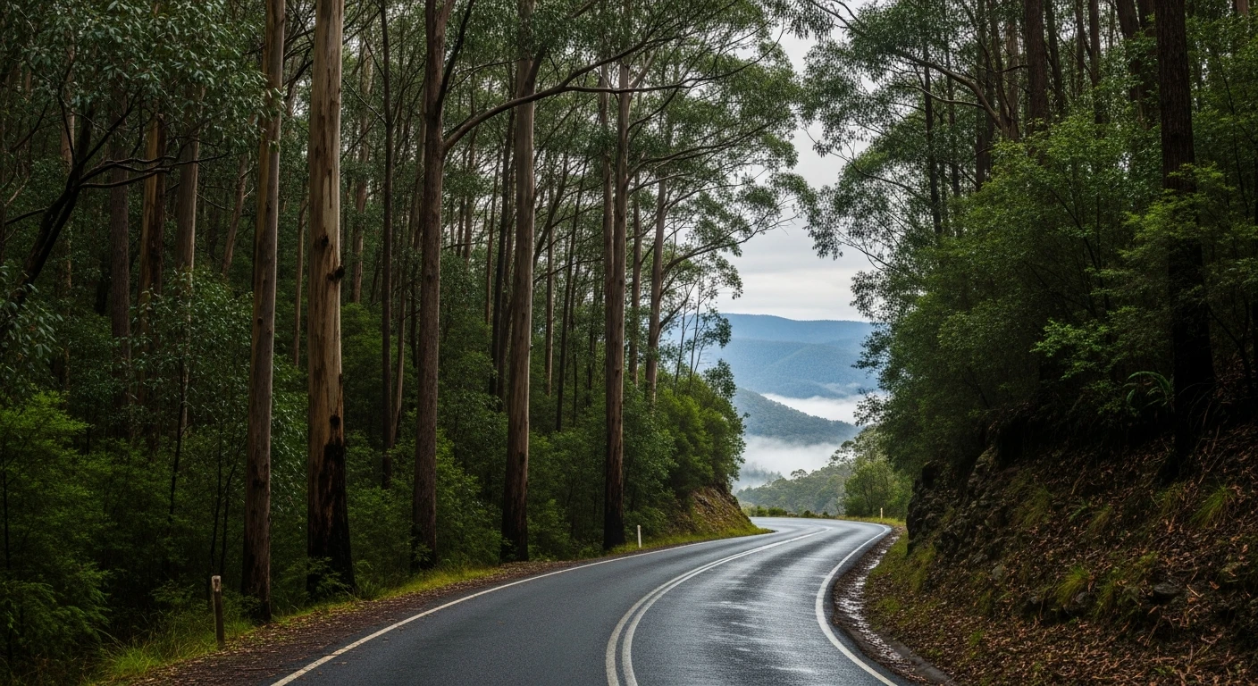
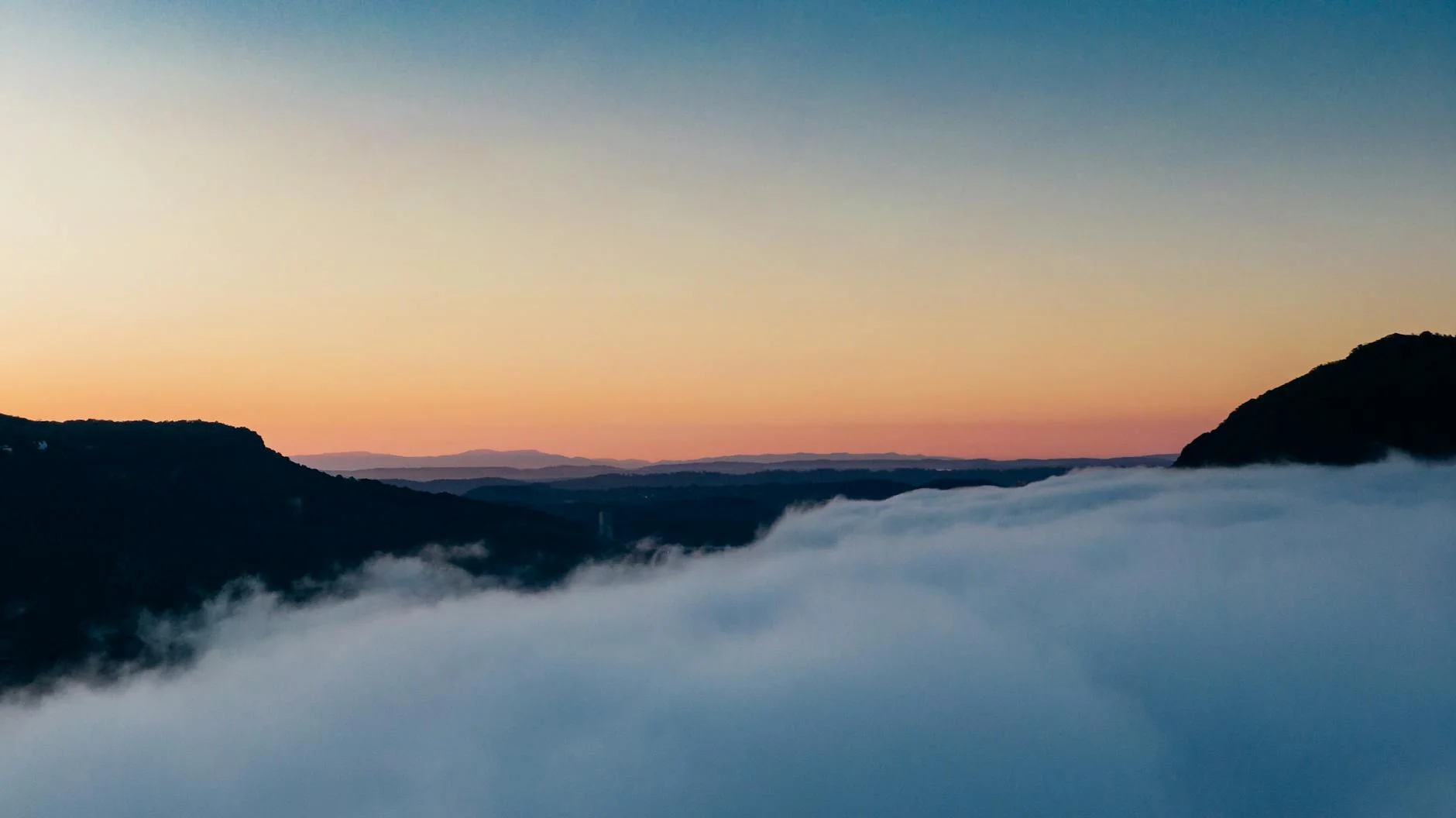
The Eildon to Marysville road is the transitional stage in the Victorian Alpine collection - the route that moves the challenge from the lake country in the north to the forest country in the south. The 50-kilometre route follows the Goulburn Valley Highway south before climbing into the Black Range approaching Marysville. Marysville was almost entirely destroyed in the 2009 Black Saturday bushfires. The community has rebuilt, the forest has regrown, and the road through the Cathedral Ranges that defines the last section of the stage is as good as it has ever been. Driving into Marysville now is an act of acknowledgment - the roads survived, the community came back, and the place is worth returning to.
The Eildon to Marysville road is the transitional stage in the Victorian Alpine collection - the route that moves the challenge from the lake country in the north to the forest country in the south.
Why this road
The region
The Cathedral Ranges State Park preserves a sandstone ridge system that rises sharply above the valley floor. Marysville is a tourism town in the foothills of the Alps, known for its waterfalls and its recovery from the 2009 fires.
History
Marysville was almost entirely destroyed on 7 February 2009 during the Black Saturday fires. 34 people died in the Marysville area. The community's rebuilding has been one of the most documented in Australian history.
Before you go
Fuel in Eildon. Good coffee in Marysville. Steavenson Falls is a short walk from the town and is accessible for an evening walk.
See a routing error?
Flag itWorth stopping for
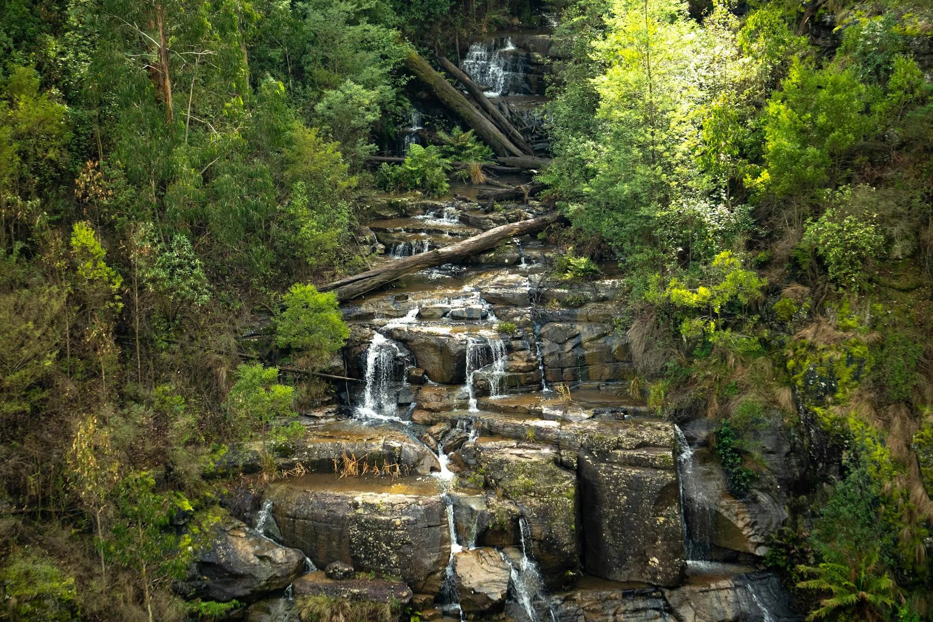
Steavenson Falls
Walk from the Marysville township to the 122m falls, one of the highest in Victoria.
Lake Mountain Alpine Resort
Cross-country skiing in winter, excellent mountain biking in summer, 10km from Marysville.
Route
Start
Eildon
End
Marysville
Gallery
More roads like this