Black Spur
30 km
distance
35 min
Contour time
9.5
avg score
Sealed
surface
680m
max elevation
+420m
total climb
Scenery
680m elevation
The Yarra Ranges form the eastern edge of Melbourne's commuter belt but the back roads through this country feel...
Road quality
9.5 RQS
Exceptional. Consistently high curviness, surface, and low traffic.
Accessibility
Fully sealed
Best in Sports car. Peak season: Year-round.
7-day forecast
Constant corners through mountain ash with almost no long straights. One of the best short sports car drives in Victoria.
Scored 9.5/10 by Contour's road quality algorithm across curviness, surface, elevation and traffic. Best suited for sports car drivers.
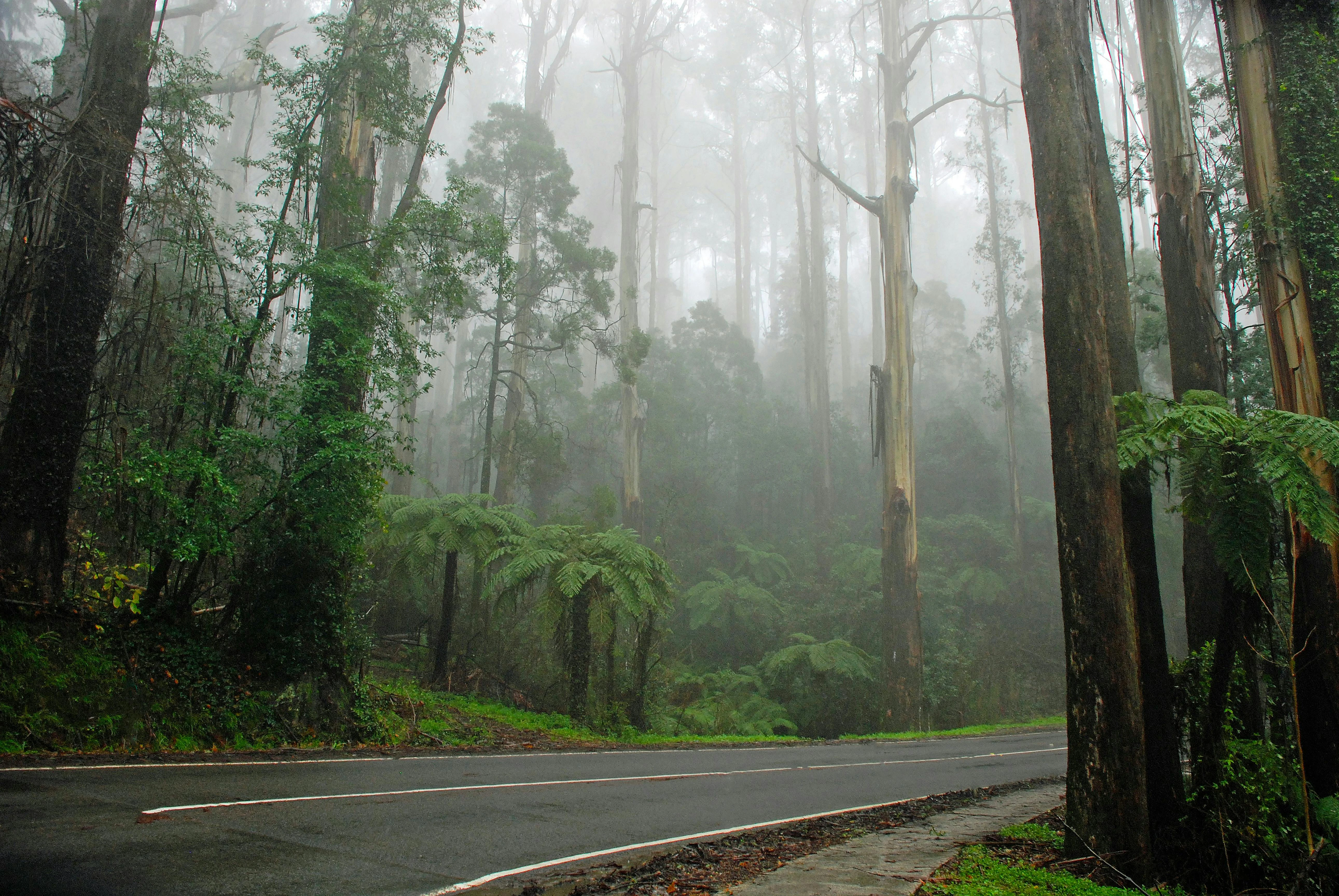
The road
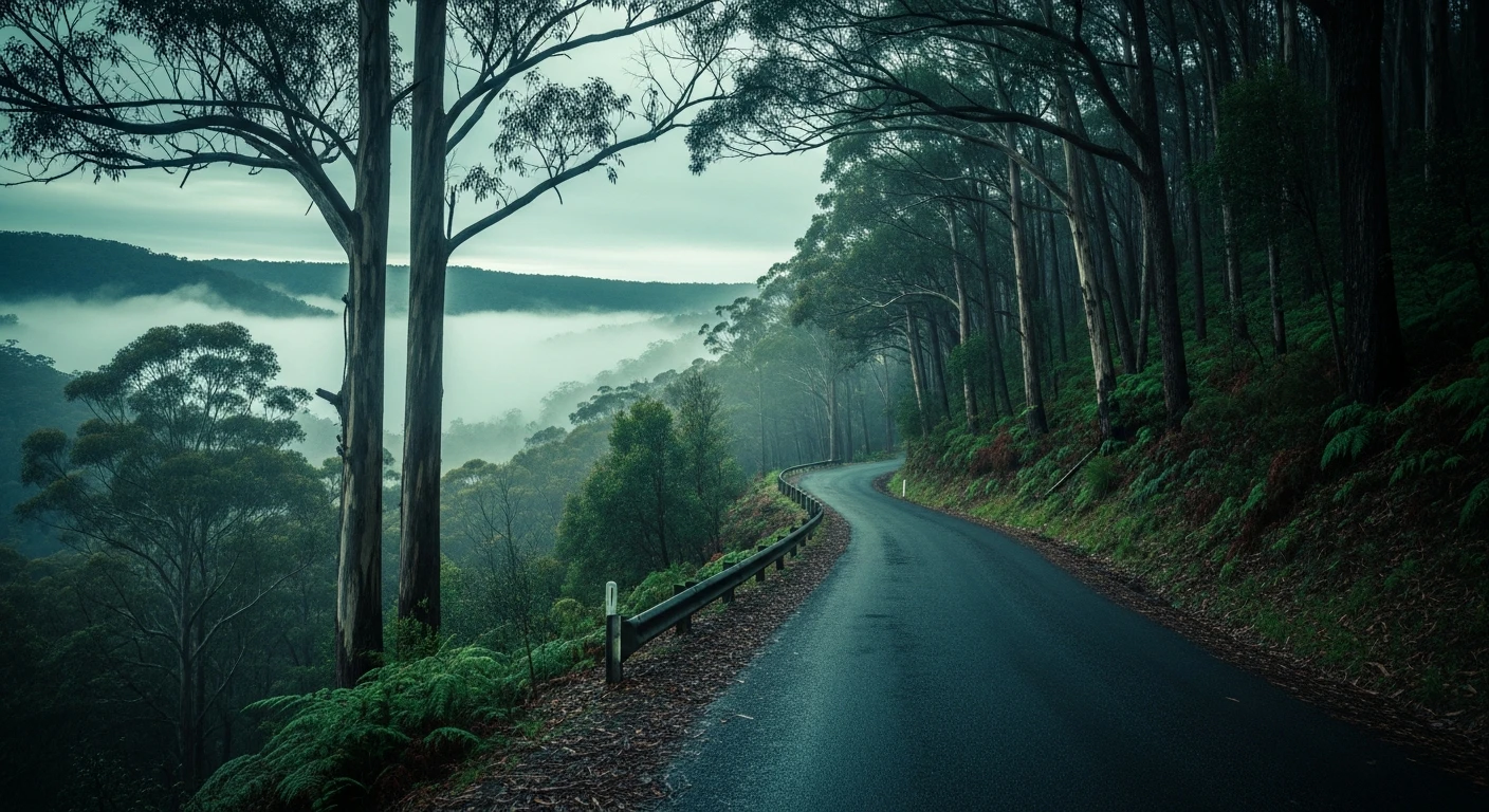
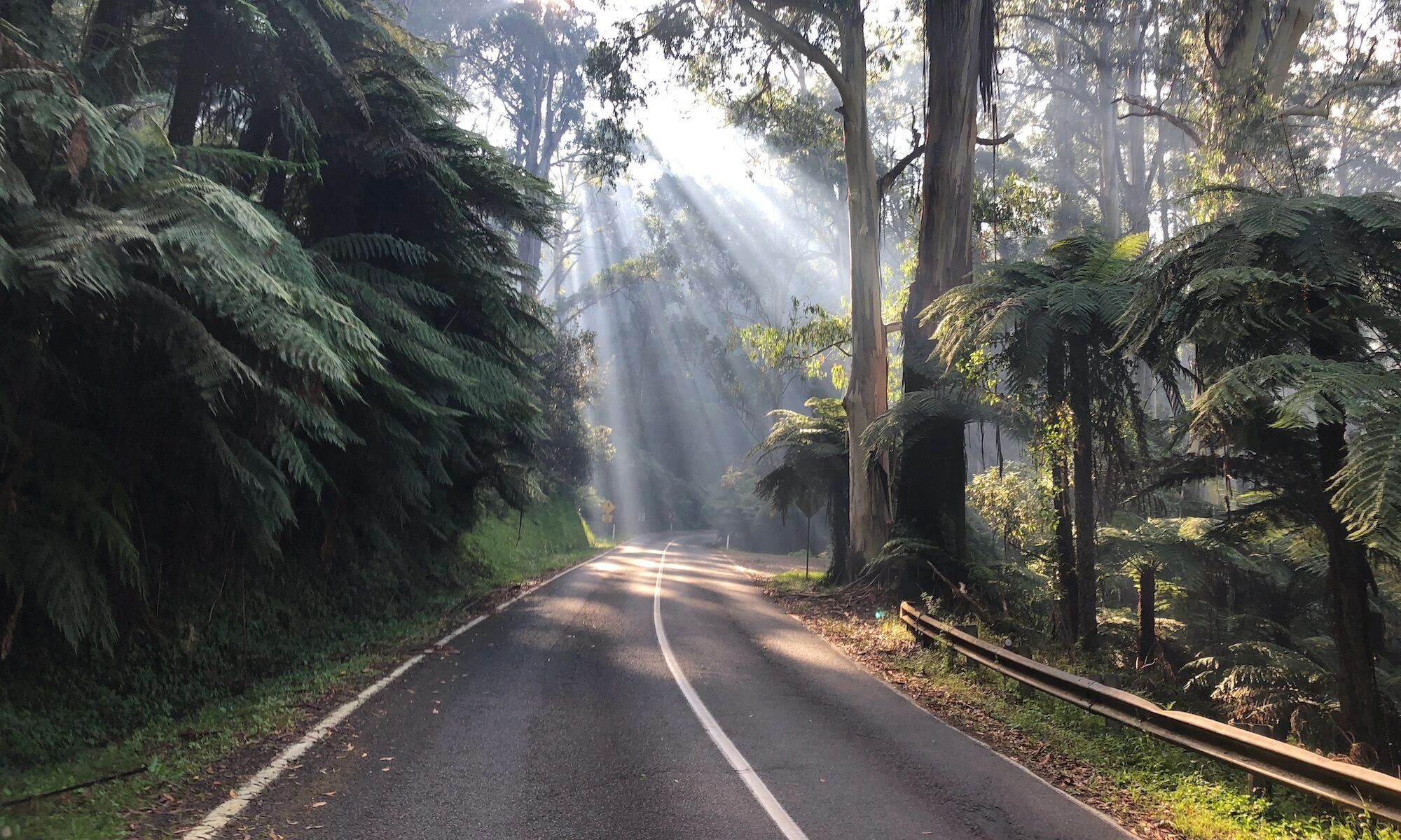
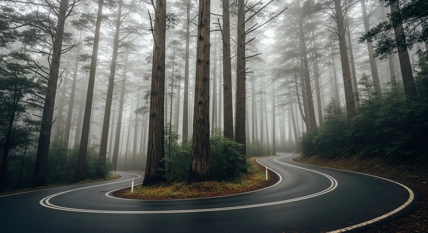
The Black Spur is one of those roads that drivers return to for decades. The 30-kilometre run from Healesville over the Dividing Range to Marysville packs more quality corners per kilometre than almost any other sealed road in Victoria. The road climbs from Healesville through wet sclerophyll forest before hitting the mountain ash section on the back side of the range where the trees reach 75 metres and the canopy closes overhead. The corners here are tight, blind and constant. There are no long straights to recover - each bend leads directly into the next. The road surface is excellent and well-maintained. The line through each corner is important because the camber changes and the road narrows at the apex. Motorcyclists have driven this road for generations and it shows - the bitumen is polished smooth at the racing lines. It is equally rewarding at low speed with the windows down, just experiencing the forest. Marysville at the far end is worth a stop - the town was largely destroyed in the 2009 Black Saturday fires and has been carefully rebuilt.
The Black Spur is one of those roads that drivers return to for decades.
Why this road
The region
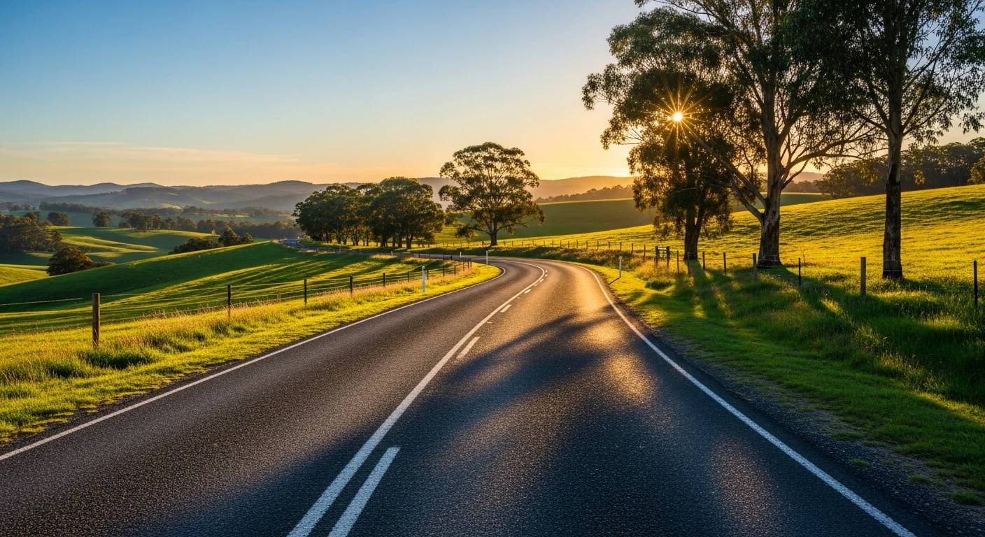
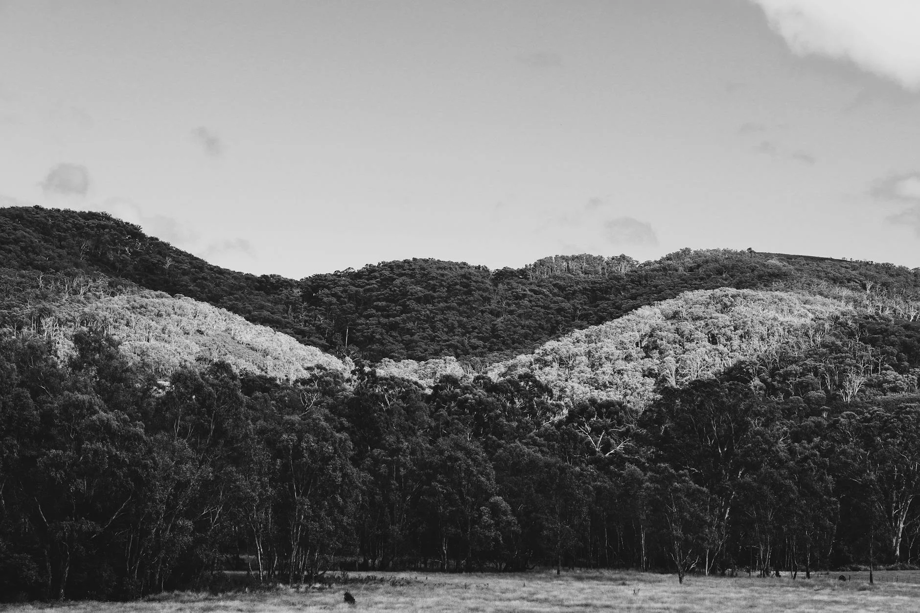
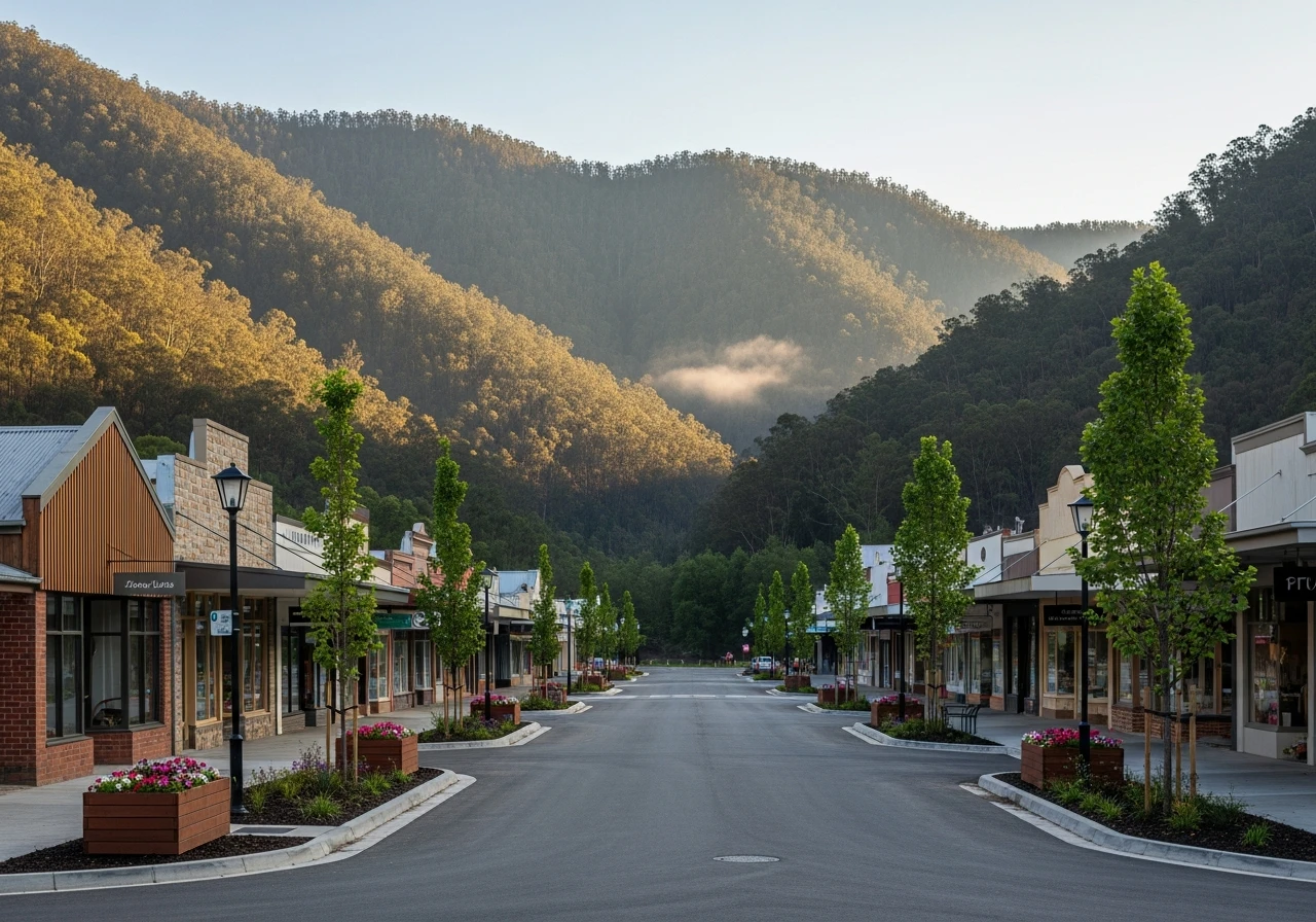
The Yarra Ranges form the eastern edge of Melbourne's commuter belt but the back roads through this country feel genuinely remote. Healesville is the main gateway town - an hour from Melbourne with a good food scene and the Healesville Sanctuary wildlife park. The mountain ash forests on the Black Spur are among the tallest hardwood forests in the world. Some of the trees along the road are over 400 years old and reach 75 metres. Marysville sits in a river valley on the far side of the range and was devastated in the 2009 fires. The rebuilding effort has produced a compact town with genuine warmth and several good cafes and accommodation options.
History
The Black Spur was used by goldfield-era travellers heading to the Goulburn Valley and remained one of Victoria's main inland routes before the freeway network developed. The mountain ash forests along this section were heavily logged through the 20th century - most of what you see today is regrowth forest from the 1939 Black Friday fires.
Before you go
Fuel in Healesville and Marysville. The road is open year-round. Black ice is possible above 400 metres from June to August - check conditions before going in winter. The road gets busy on weekend mornings. Trucks use it occasionally but not frequently. No overtaking lanes - patience required behind slow traffic. The whole road is sealed with no off-road sections. Phone coverage is intermittent on the mountain ash section.
See a routing error?
Flag itWorth stopping for
Healesville Sanctuary
One of Australia's best native wildlife parks, with platypus, Tasmanian devils and birds of prey - worth a morning visit before the drive.
Marysville Steavenson Falls
A multi-tiered waterfall lit at night, a short walk from Marysville town centre - a good reason to plan the drive as an overnight.
Route
Start
Healesville
End
Marysville
Gallery
More roads like this