Acheron Way
51 km
distance
50 min
Contour time
7.9
avg score
Sealed
surface
Scenery
Victoria
The Acheron Valley is the eastern approach to the Yarra Ranges from the Murrindindi direction. Less visited than the...
Road quality
7.9 RQS
Strong. Above average on most quality signals.
Accessibility
Fully sealed
Best in Sports car. Peak season: Year-round.
7-day forecast
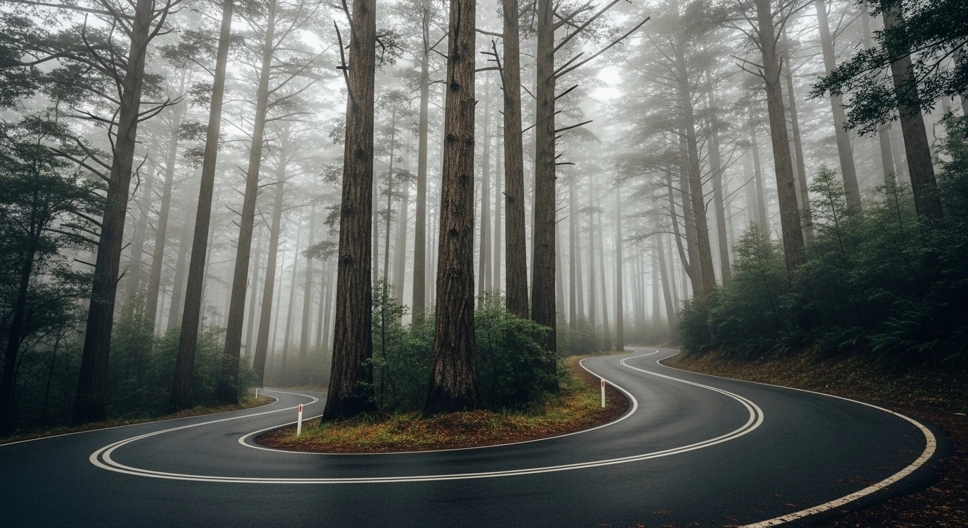
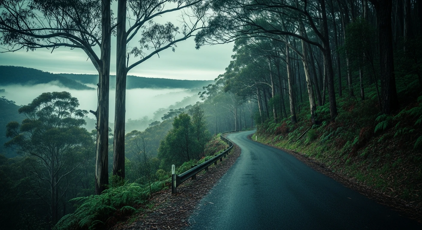
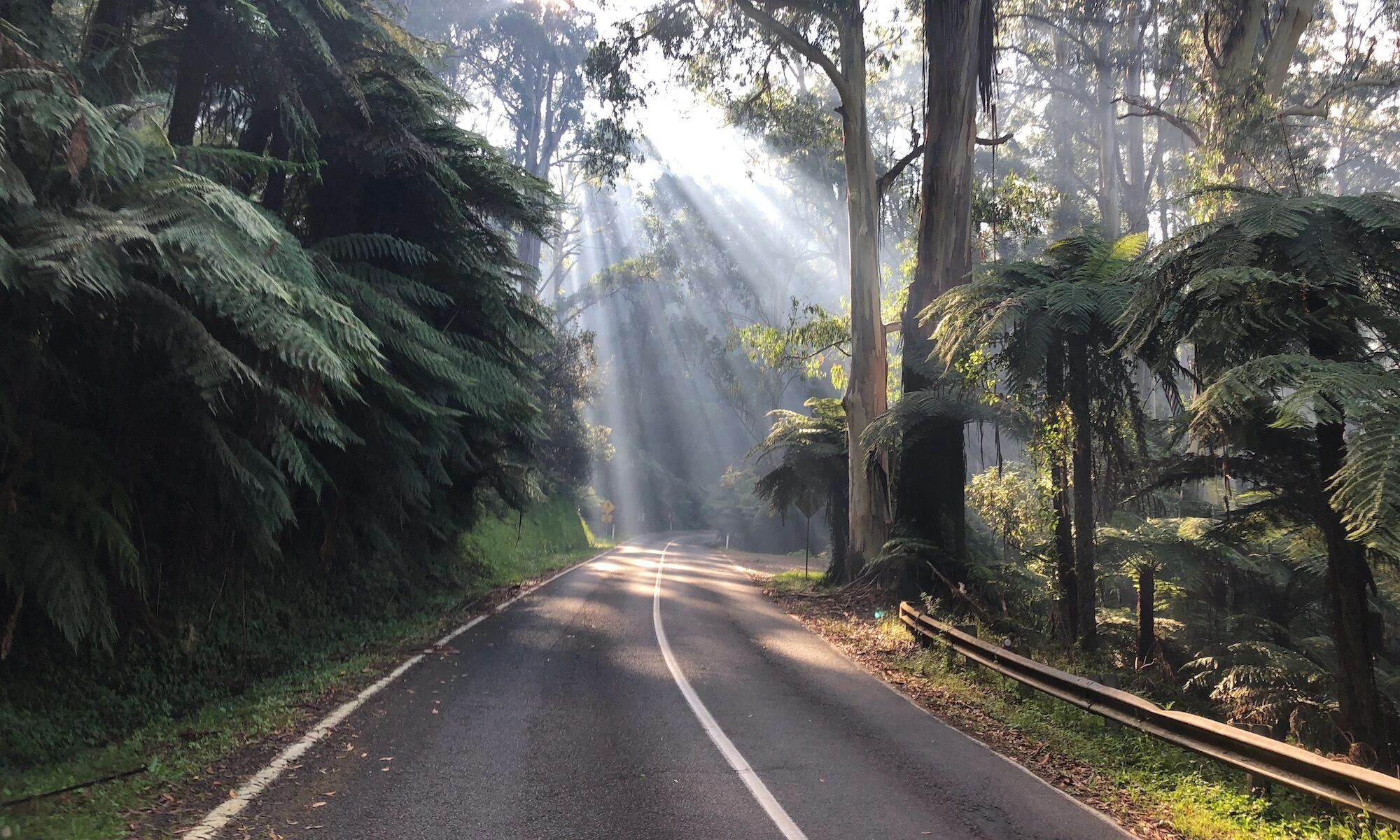
Quiet back road through tall eucalypt forest. Smooth sealed surface, almost no traffic, and completely bypasses the tourist routes.
Scored 7.9/10 by Contour's road quality algorithm across curviness, surface, elevation and traffic. Best suited for sports car drivers.
The road
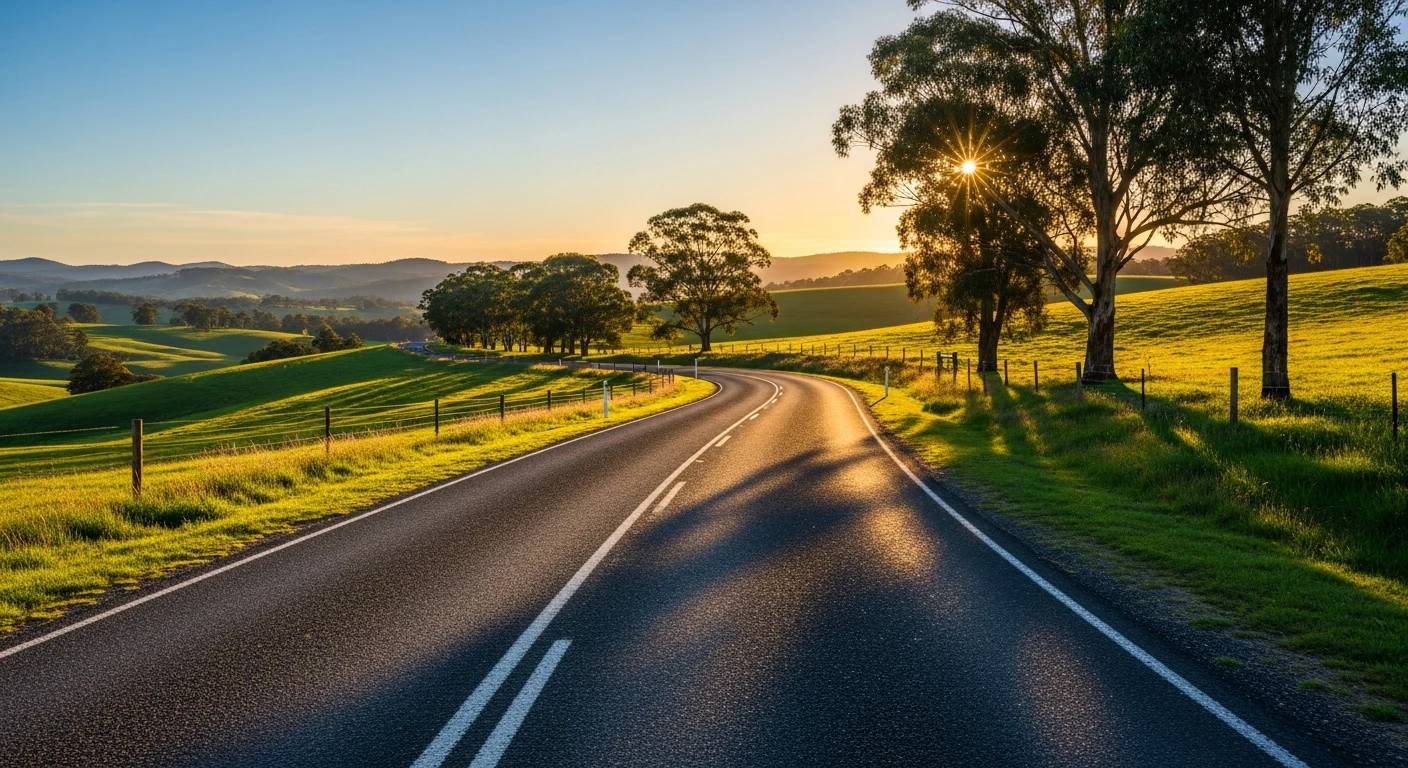
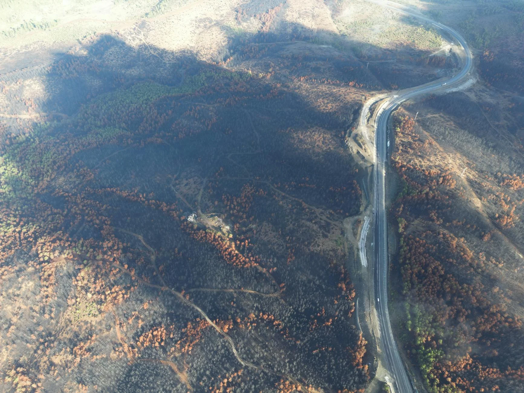
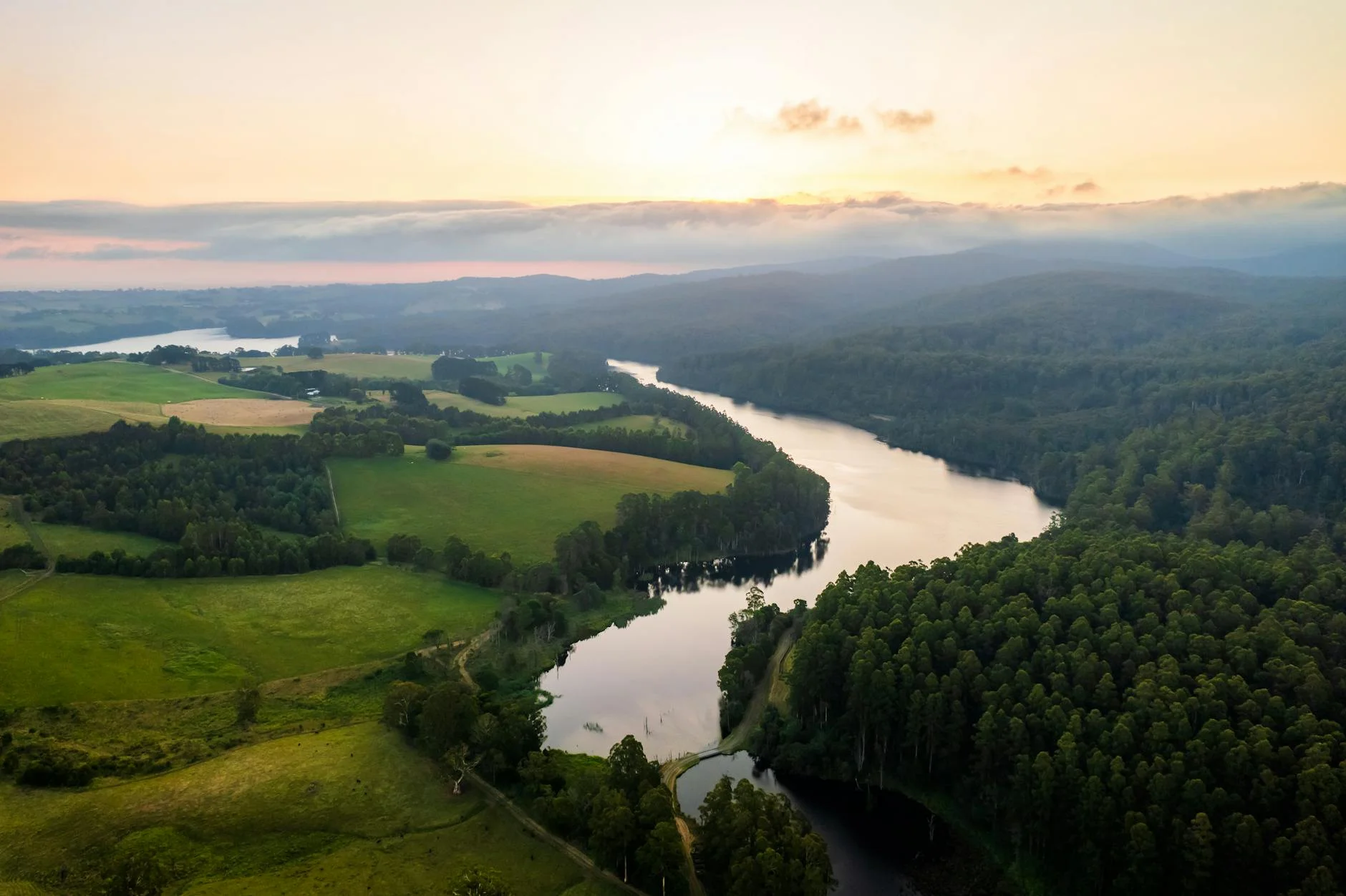
Acheron Way (C507) is the parallel road to the Black Spur - less famous, slightly lower scored, but genuinely worth driving on its own terms. The 35-kilometre sealed road from Narbethong to Warburton runs along the valley floor rather than the ridge, following the Acheron River through tall mountain ash and mixed eucalypt forest. The character is different to the Black Spur - longer straights between corner sequences, more open views in places, and a surface that gets less traffic and therefore more tree debris. It is a good road for drivers who find the Black Spur too intense or want to explore a different approach to Warburton. Combined with the Black Spur as a loop it makes a compelling day - Healesville to Marysville via the Black Spur, then Narbethong to Warburton via Acheron Way. The forest through this section was badly affected by the 2009 fires and the regrowth eucalypt at varying stages of recovery gives the road a different visual quality to the untouched mountain ash sections on the spur.
Acheron Way (C507) is the parallel road to the Black Spur - less famous, slightly lower scored, but genuinely worth driving on its own terms.
Why this road
The region
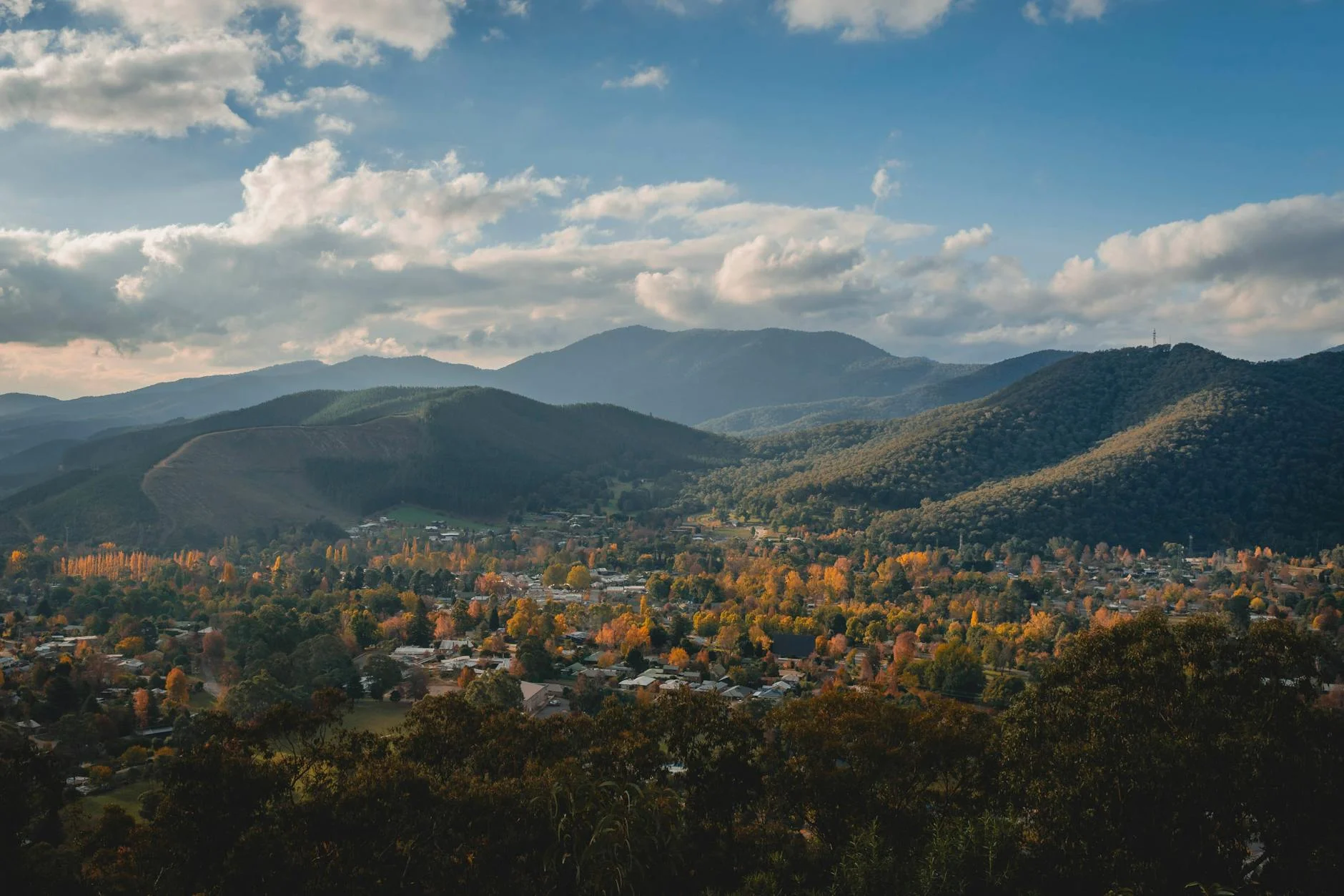
The Acheron Valley is the eastern approach to the Yarra Ranges from the Murrindindi direction. Less visited than the main tourist corridors, it has a quieter, more agricultural character with farms in the valley bottom and forest climbing the ridgelines on both sides. Warburton at the southern end sits in the Upper Yarra Valley and is a good base for exploring both Acheron Way and the Reefton Spur.
Before you go
Fuel at Narbethong (small general store, not always reliable) and Warburton. Best to fill up at Healesville or Alexandra before this road. Open year-round. Black ice possible in winter on the shaded valley sections. Light traffic throughout.
See a routing error?
Flag itWorth stopping for
Warburton town centre
Small Yarra Valley town with good cafes and the Warburton Rail Trail. A logical base for combining Acheron Way with the Reefton Spur.
Steavenson Falls
A multi-tiered waterfall lit at night, 2km from Marysville - worth the short detour from Narbethong before starting Acheron Way.
Route
Start
Narbethong
End
Warburton
Gallery
More roads like this