Reefton Spur
40 km
distance
55 min
Contour time
8.2
avg score
Sealed
surface
780m
max elevation
+480m
total climb
Scenery
780m elevation
Warburton is a small town in the Upper Yarra Valley, about 75 kilometres east of Melbourne. It has a bakery, a couple...
Road quality
8.2 RQS
Strong. Above average on most quality signals.
Accessibility
Fully sealed
Best in Motorbike & Rally. Peak season: Spring-Autumn.
7-day forecast
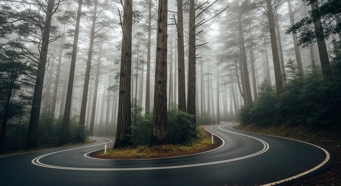
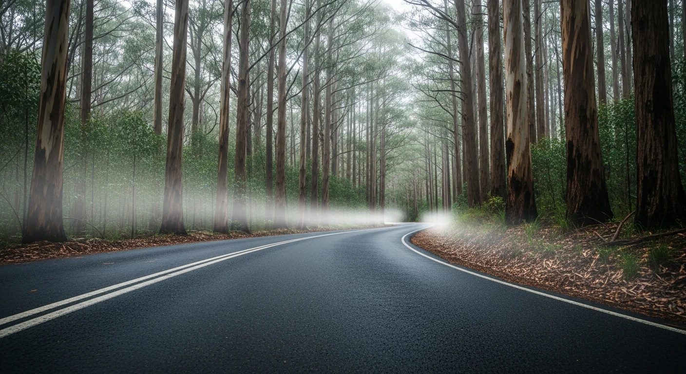
Tight switchbacks through Yarra Ranges forest. The corners come fast and don't stop - exactly what this road is known for.
Scored 8.2/10 by Contour's road quality algorithm across curviness, surface, elevation and traffic. Best suited for motorbike & rally drivers.
The road
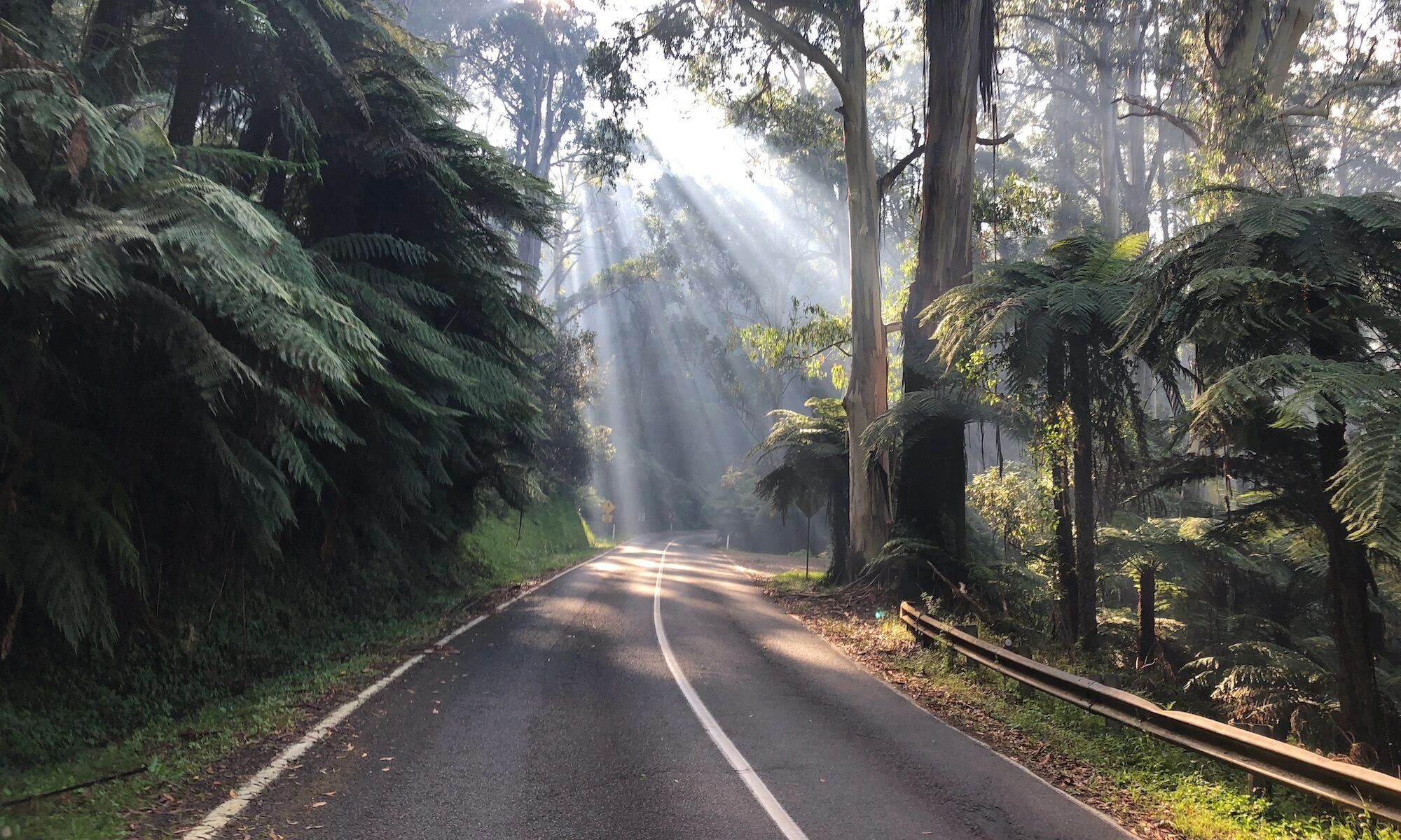
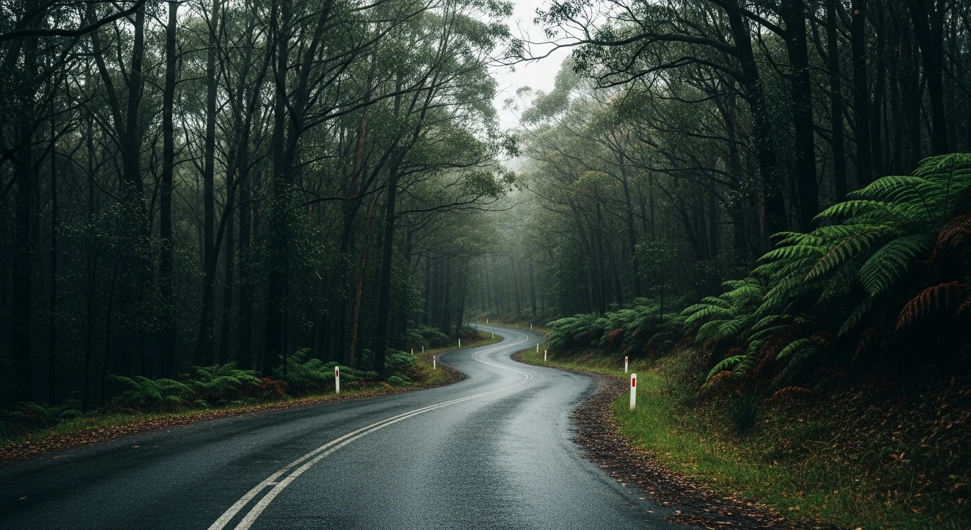
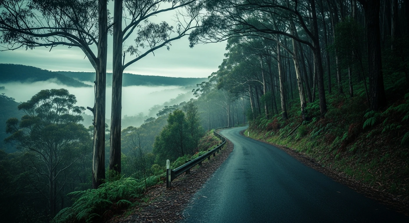
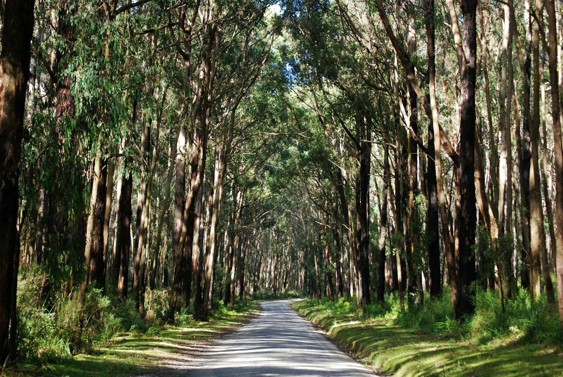
The Reefton Spur is one of those roads that has a reputation among drivers before they ever drive it. The 29-kilometre run between Warburton and Narbethong is built on a narrow ridge in the Yarra Ranges, which means the road goes up, stays up, and then comes down - with almost no flat sections between. The bends are tight, camber-varied and frequent. There are no straights long enough to relax. On a motorbike with good tyres and a clear head it is about as close to perfect as any road in Victoria. In a sports car it rewards smoothness - the corners link together with a rhythm and fighting the road rather than flowing with it is always slower. The forest through this section is dense mountain ash and the road surface stays damp for days after rain. Cold mornings with wet leaves on the road are genuinely dangerous - this is a spring and autumn road. The Sunday morning coffee-run crowd from Melbourne makes it busy between 9am and noon - go early or mid-week.
The Reefton Spur is one of those roads that has a reputation among drivers before they ever drive it.
Why this road
The region
Warburton is a small town in the Upper Yarra Valley, about 75 kilometres east of Melbourne. It has a bakery, a couple of cafes and a long history as a Seventh-day Adventist community that still shapes the character of the town. Narbethong at the far end is smaller still - a handful of houses, a general store and the junction with the Maroondah Highway. The Yarra Ranges National Park covers most of the surrounding country and the tall mountain ash forests here are some of the most intact in Victoria.
Before you go
Fuel in Warburton - nothing reliable between Warburton and Healesville after Narbethong. The road is narrow throughout with limited passing opportunities. Gravel washout after heavy rain is common on the summit sections - check VicRoads before going in winter. Black ice risk from June to August. The road carries more traffic than it looks - expect oncoming vehicles on blind crests. Full attention required throughout.
See a routing error?
Flag itWorth stopping for
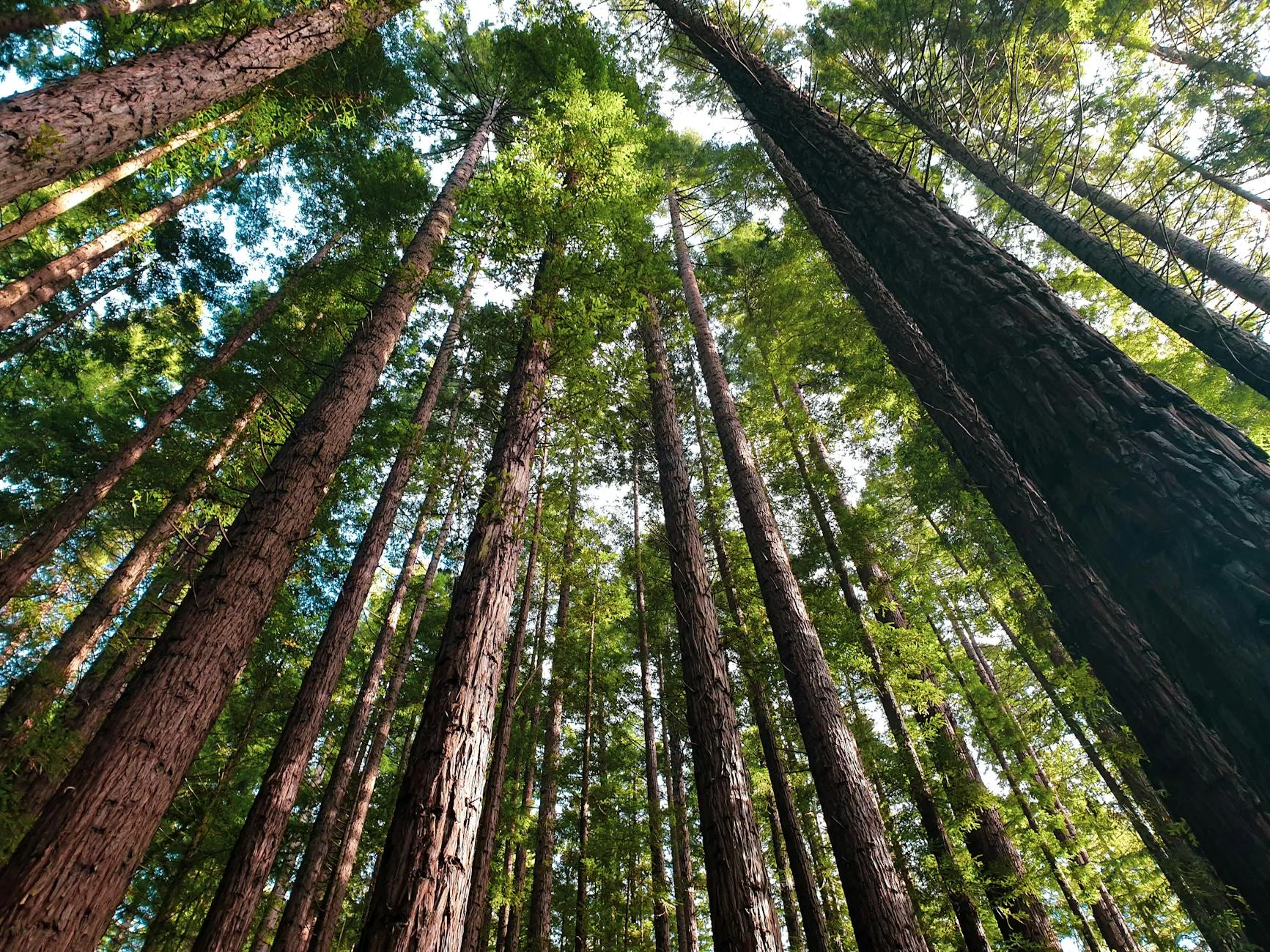
Warburton Redwood Forest
A small plantation of California coast redwoods planted in the 1930s, just off the main road through town - an unexpected and genuinely impressive stand of trees.
Black Spur (Healesville to Marysville)
The natural continuation from Narbethong - follow the Maroondah Highway north to Healesville and then connect directly to the Black Spur.
Route
Start
Warburton
End
Narbethong
Gallery
More roads like this