Strzelecki Ranges
48 km
distance
1h 10m
Contour time
8.0
avg score
Sealed
surface
Scenery
Victoria
South Gippsland sits at the western end of the Gippsland region, bounded by Westernport Bay to the west and the...
Road quality
8.0 RQS
Strong. Above average on most quality signals.
Accessibility
Fully sealed
Best in Motorbike & Rally. Peak season: Year-round.
7-day forecast
Rolling hills through hardwood forest with no dangerous surprises. A long satisfying run through Gippsland back country.
Scored 8.0/10 by Contour's road quality algorithm across curviness, surface, elevation and traffic. Best suited for motorbike & rally drivers.
The road
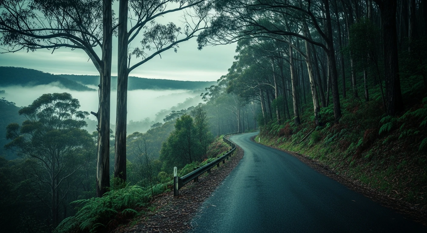
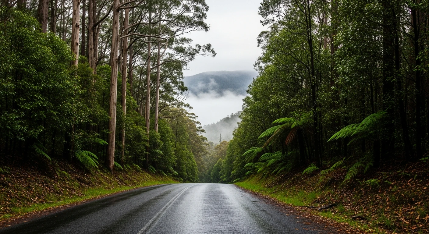
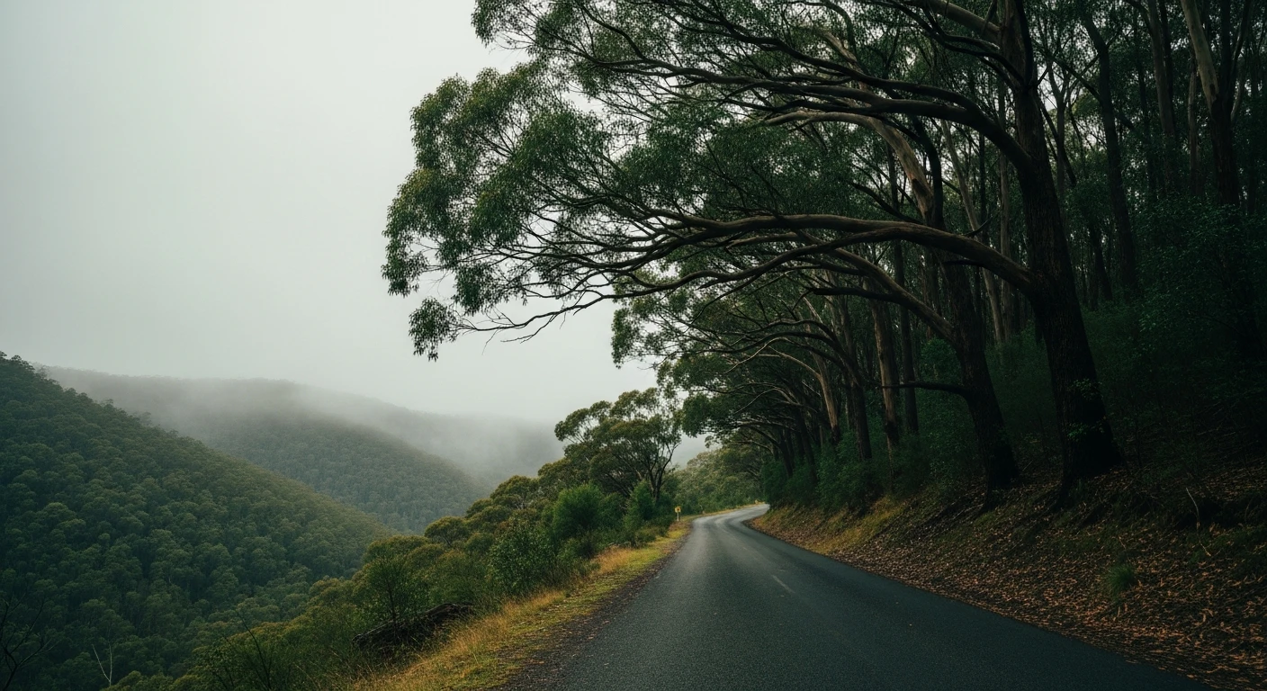
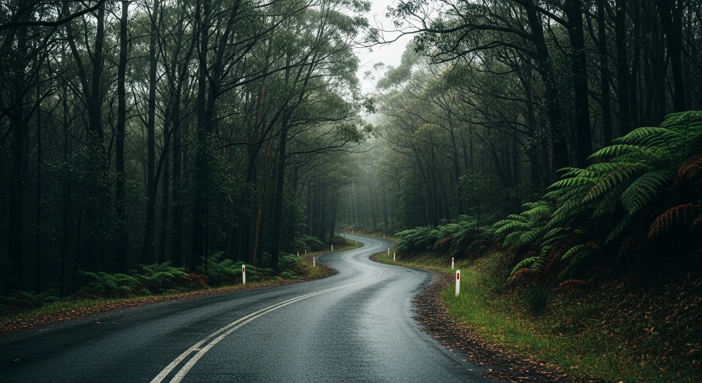
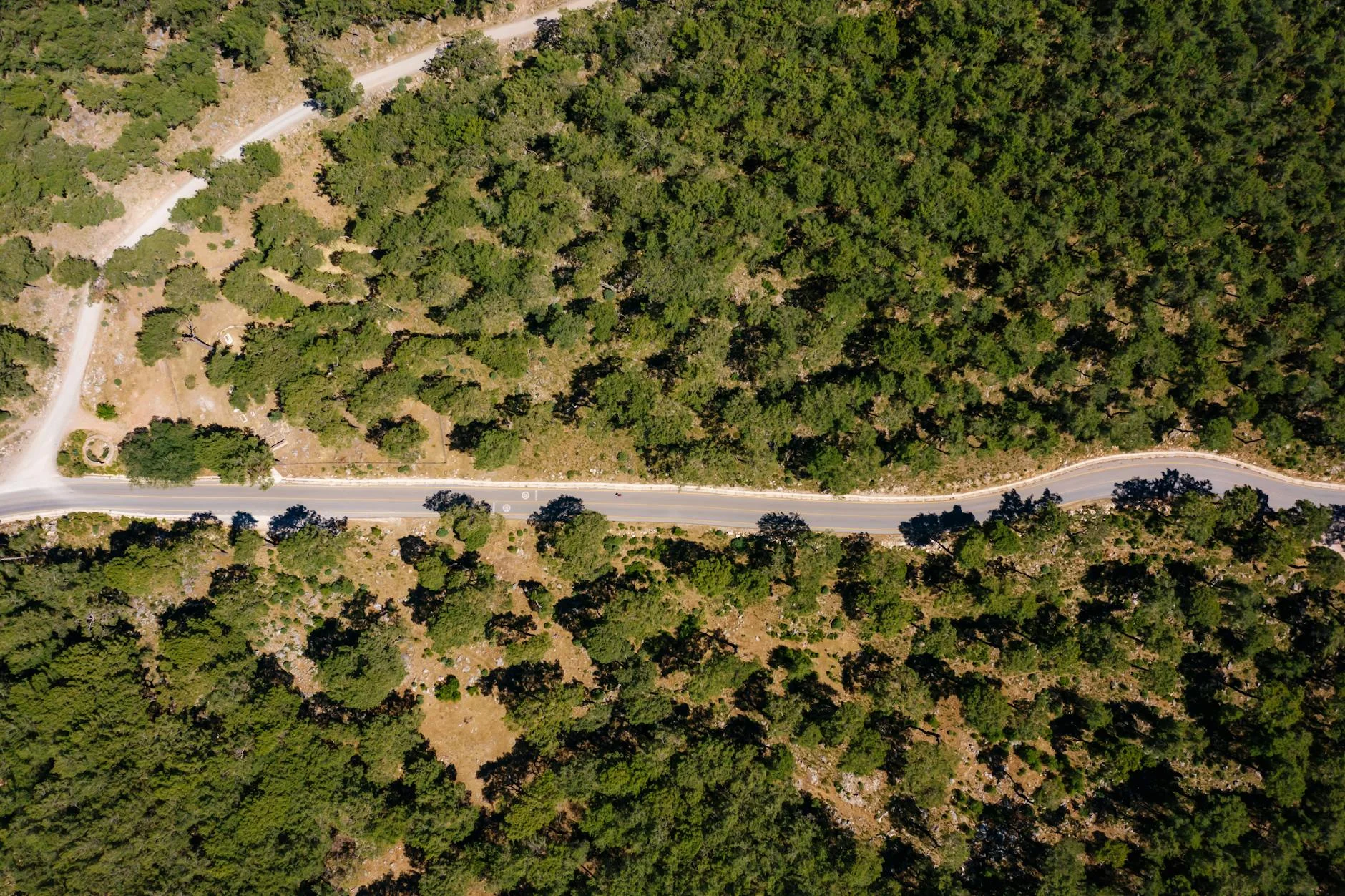
The Strzelecki Ranges are Gippsland's forgotten hill country - a low range of hardwood-forested ridges between the South Gippsland coast and the flat dairy country to the north. The road from Korumburra to Mirboo North crosses the range through genuine back country: narrow sealed road, rolling terrain, good surface, almost no traffic. It is not dramatic in the way the alps are dramatic, but it has a satisfying rhythm that good back-road driving rewards. The corners are wide enough to carry speed but tight enough to require commitment. The forest through the range is dense hardwood - messmate, mountain ash and blue gum - and the understorey is thick enough that you cannot see far off the road. There are no dramatic views, just the feeling of the road and the forest. This is the kind of driving that reminds you why driving itself is worth doing. The Strzeleckis have been heavily logged historically but the remaining intact forest sections are genuinely good. Very few people bother with this road because there is nothing famous at the other end - which is exactly why it is worth doing.
The Strzelecki Ranges are Gippsland's forgotten hill country - a low range of hardwood-forested ridges between the South Gippsland coast and the flat dairy country to the north.
Why this road
The region
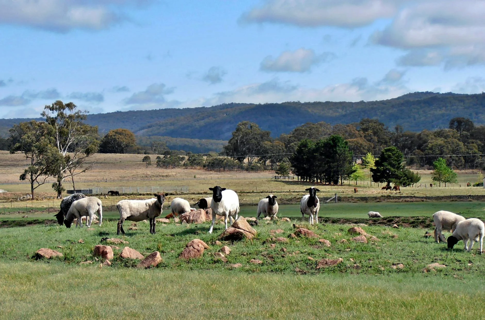
South Gippsland sits at the western end of the Gippsland region, bounded by Westernport Bay to the west and the Strzelecki Ranges to the north. It is dairy farming country at its core - rolling green hills, hedge-lined roads and small towns with working general stores. Korumburra is the main town at the western end of the ranges, with a coal museum commemorating the now-closed local industry. Mirboo North at the eastern end is a timber and dairy town with a well-regarded pub and a surprisingly good main street for a town of 1,500 people.
Before you go
Fuel in Korumburra and Mirboo North. The road is open year-round and fully sealed. Very little truck traffic. Weekend traffic is light - this route sees few tourists. Gravel on the road after rain is the main hazard. Phone coverage is variable through the forest sections. Allow 70-80 minutes end to end at a relaxed pace.
See a routing error?
Flag itWorth stopping for
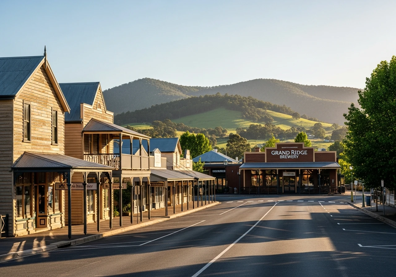
Grand Ridge Brewery, Mirboo North
One of the better regional breweries in Victoria, housed in a timber building on the main street of Mirboo North - a worthwhile finish to the drive.
Coal Creek Heritage Village, Korumburra
An open-air museum recreating a Gippsland coal mining town from the early 1900s - worth 90 minutes if you are starting from Korumburra.
Route
Start
Korumburra
End
Mirboo North
Gallery
More roads like this