Old Sale Road
159 km
distance
1h 50m
Contour time
5.8
avg score
Sealed
surface
Scenery
Victoria
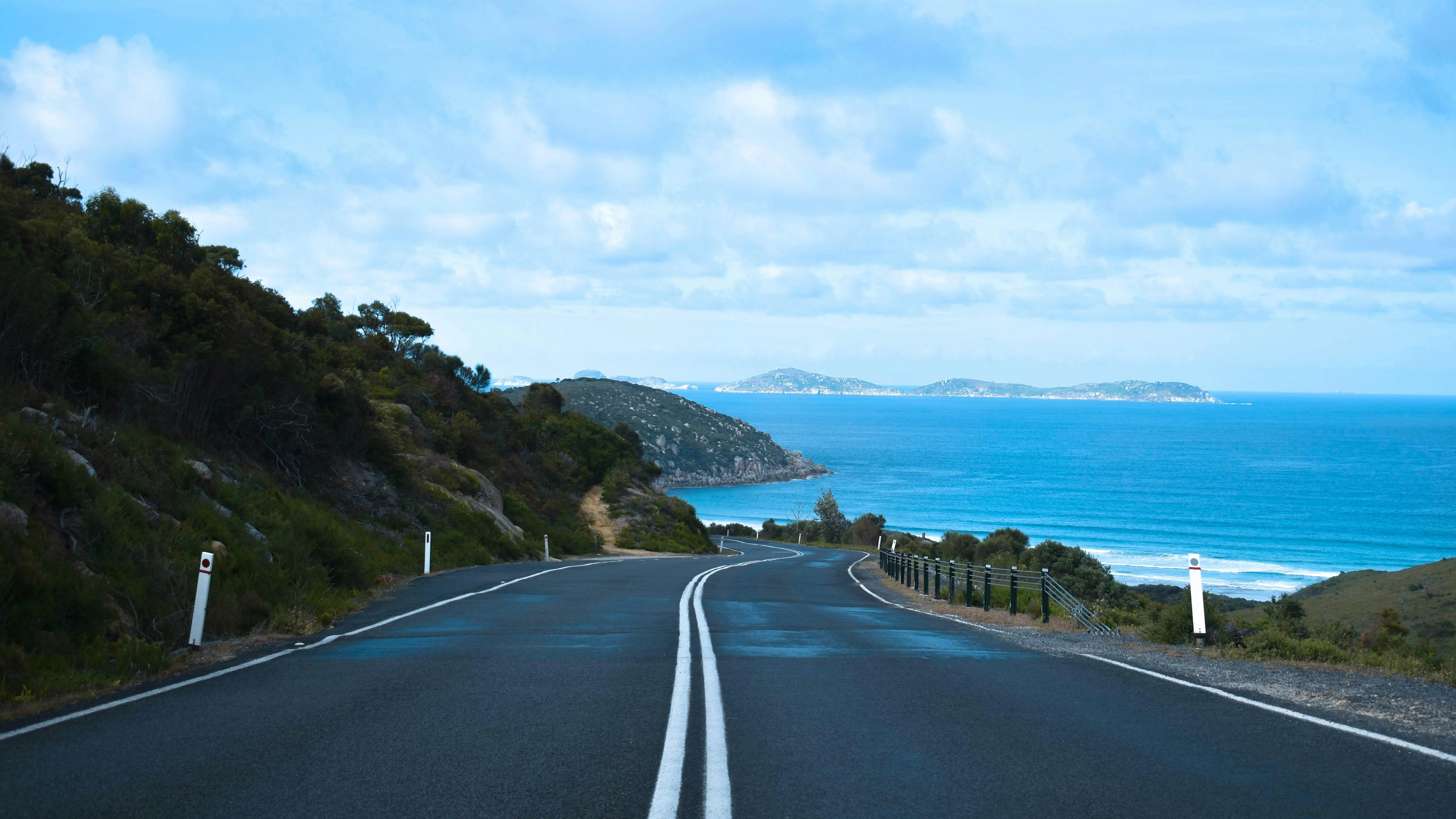
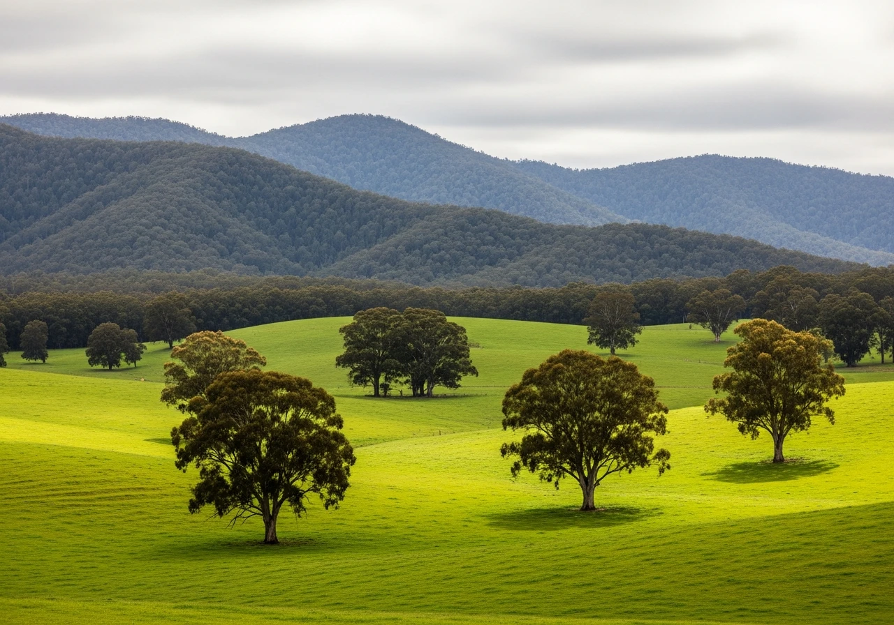
South Gippsland is dairy farming country - one of the most productive in Australia - with a coastline that most of...
Road quality
5.8 RQS
Every segment scored on 40+ data signals.
Accessibility
Fully sealed
Best in Motorbike & Rally. Peak season: Year-round.
7-day forecast
A long run through South Gippsland with enough variety to stay interesting over 100km. Quiet roads and good surface throughout.
Scored 5.8/10 by Contour's road quality algorithm across curviness, surface, elevation and traffic. Best suited for motorbike & rally drivers.
The road
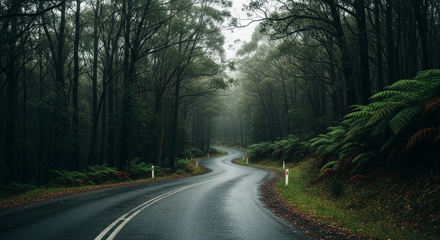
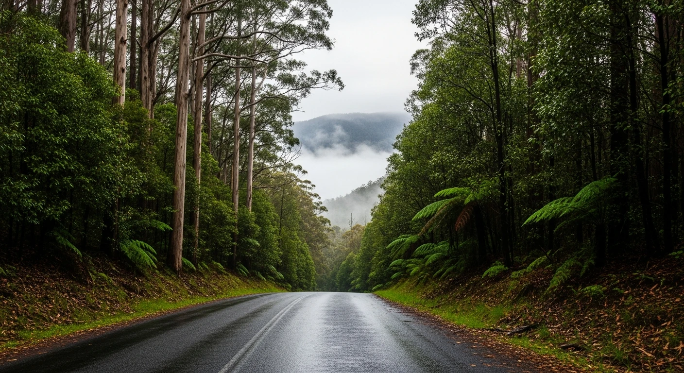
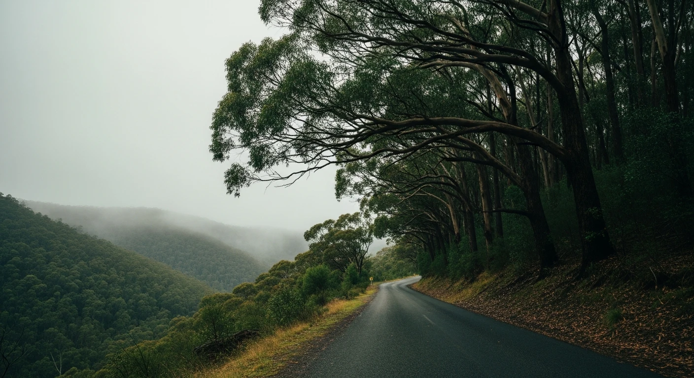
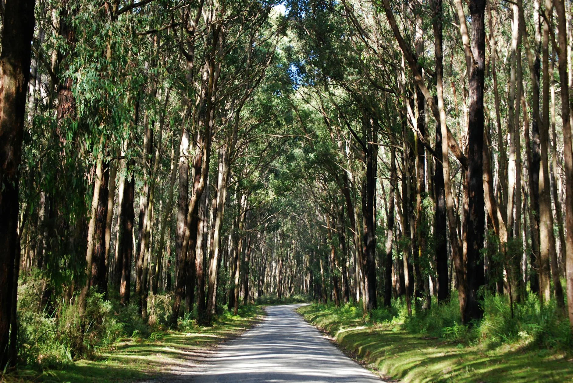
The Old Sale Road is the kind of route that exists in the gaps between the places on the map. Running 98 kilometres from Drouin in the west to Yarram in the east, it crosses South Gippsland through rolling dairy farms, the Strzelecki State Forest and the hill country above the coast. There is nothing famous along the route and it is precisely this quality that makes it work. The corners are consistent, the surface is good throughout and the truck traffic that makes the Princes Highway so unpleasant is entirely absent. The Strzelecki forest section in the middle is the highlight - 20 kilometres of dense hardwood with a road that follows the ridge contours and rewards clean throttle work. Either side of the forest the road opens into dairy farming country with long views across green paddocks to the Strzelecki and Tarra Bulga ranges. This is a two-hour ride or drive that arrives at Yarram having delivered exactly what good back-road travel should: a sense of country, good corners and a destination worth having.
The Old Sale Road is the kind of route that exists in the gaps between the places on the map.
Why this road
The region
South Gippsland is dairy farming country - one of the most productive in Australia - with a coastline that most of Victoria's population ignores in favour of the more accessible Great Ocean Road. The Strzelecki Ranges, named for Polish explorer Paul Strzelecki who crossed them in 1840, form the backbone of the region. Yarram at the eastern end is a working rural service town with a well-maintained main street and the Port Albert maritime museum nearby, which tells the story of Gippsland's earliest European settlement.
Before you go
Fuel in Drouin and Yarram. Intermediate fuel available at Mirboo North and Toora. The road is open year-round and fully sealed. Very little truck traffic. The route follows several different road names across its length - follow signs to Yarram rather than a single road name. Weekend traffic is light.
See a routing error?
Flag itWorth stopping for
Tarra-Bulga National Park
Cool temperate rainforest with a suspension bridge walkway through the tree ferns, 20km north of Yarram - one of the best short walks in Gippsland.
Port Albert Maritime Museum
Victoria's oldest maritime settlement, 15km south of Yarram, with original weatherboard buildings and the story of the first European landings in Gippsland.
Route
Start
Drouin
End
Yarram
Gallery
More roads like this