Devils River
10 km
distance
15 min
Contour time
4.3
avg score
Sealed
surface
Scenery
Victoria
The Devils River country west of Mount Buller is part of the Victorian Alps between the Delatite Valley and the Howqua...
Road quality
4.3 RQS
Every segment scored on 40+ data signals.
Accessibility
Fully sealed
Best in Sports car. Peak season: Year-round.
7-day forecast
Sports car and motorbike. The corners are tight, sightlines short, and the road is not maintained for high-speed use. Respect required.
Scored 4.3/10 by Contour's road quality algorithm across curviness, surface, elevation and traffic. Best suited for sports car drivers.
The road
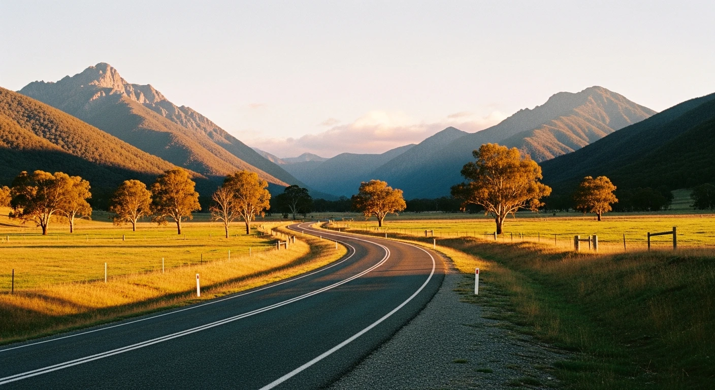
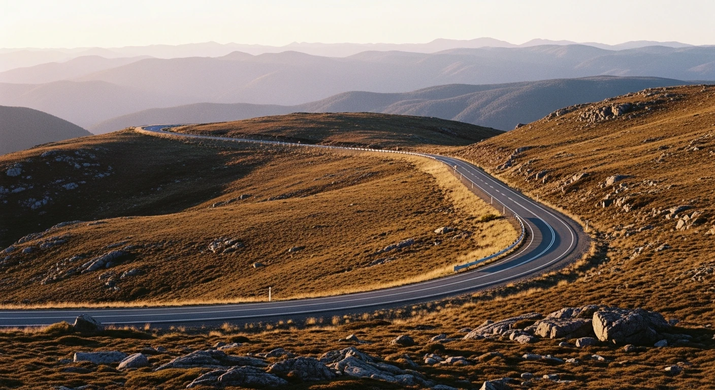
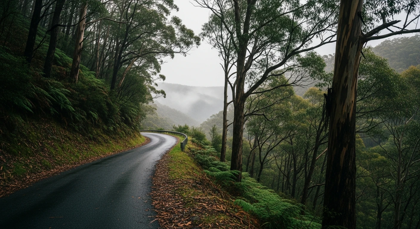
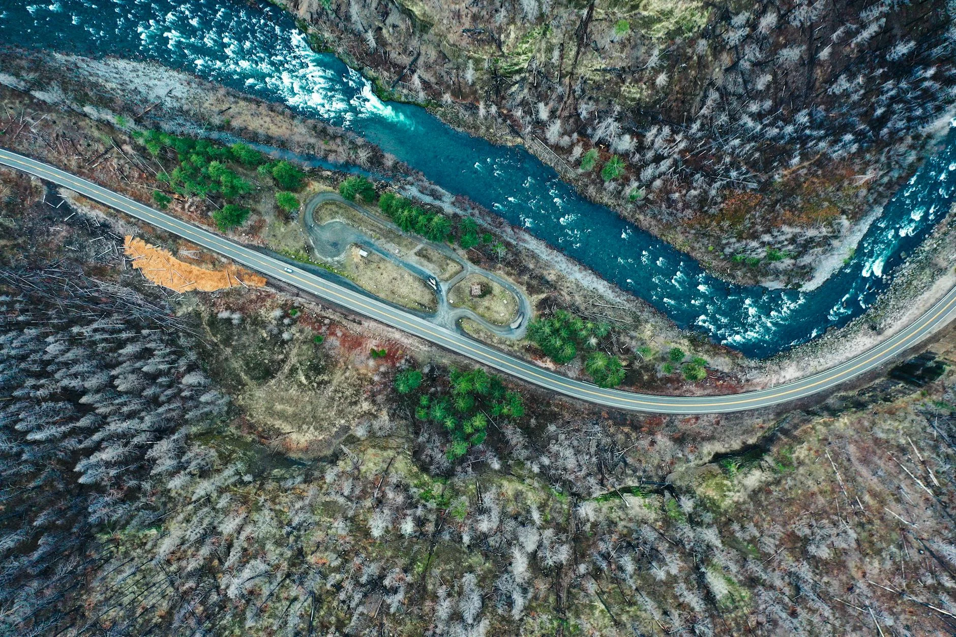
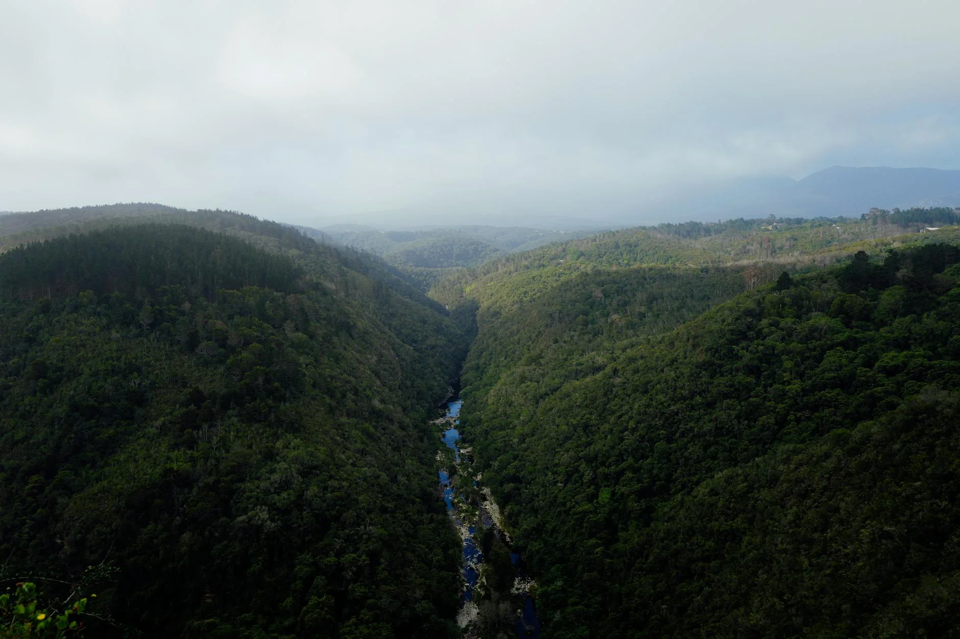
The wildest stage in the Victoria Alpine collection. The 10-kilometre run from Merrijig follows the valley of the Devils River into increasingly remote country west of Mount Buller, the road narrowing as the valley walls close in and the river appears and disappears on the left. Rally-maps shows the 2021 Targa High Country used this as SS 13, at 10.4 kilometres with tarmac surface and an elevation range from 591m down to 321m. The surface is good but the road is not maintained for high-speed use - the corners are tight, the sightlines are short, and the river crossings require respect. The stage ends at the road's end deep in the valley with no through route. The return leg, knowing what is coming, is faster than the approach.
The wildest stage in the Victoria Alpine collection.
Why this road
The region
The Devils River country west of Mount Buller is part of the Victorian Alps between the Delatite Valley and the Howqua Hills. The valley is heavily forested and sees very little traffic outside local use and fishing. The river is a good trout fishery.
Before you go
Fuel in Merrijig or Mansfield before departure. No services on the stage. The road ends in the valley with no exit - plan your return. Good road conditions in dry weather; avoid after heavy rain.
See a routing error?
Flag itWorth stopping for
Merrijig Hotel
Good country pub at the stage start, a century-old mountain road pub.
Devils River fishing
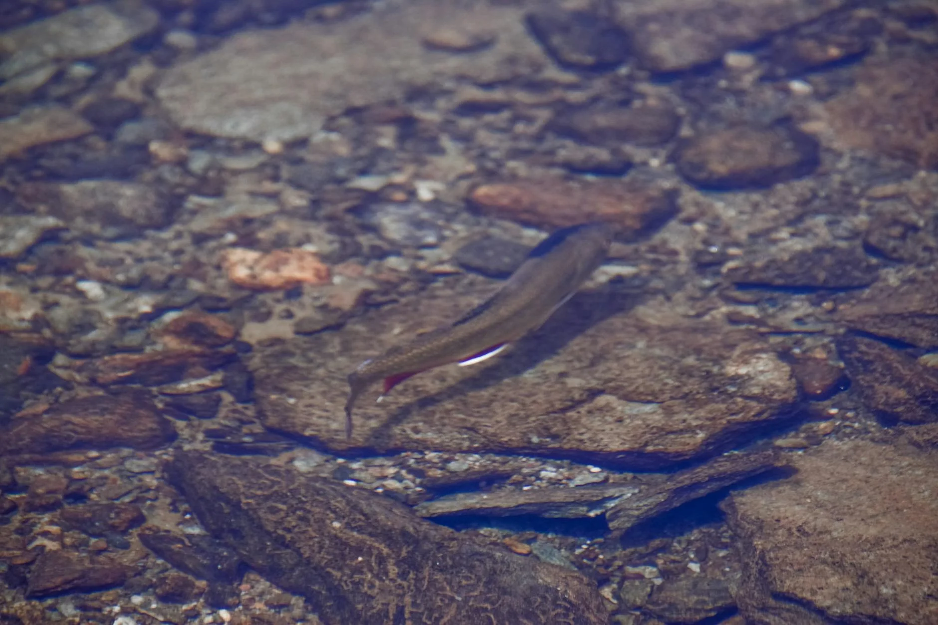
Recognised trout fishery - worth combining with the drive if fishing gear is on board.
Route
Start
Merrijig
End
Devils River Road End
Gallery
More roads like this