19 km
distance
16 min
Contour time
7.8
avg score
Sealed
surface
Scenery
Tasmania
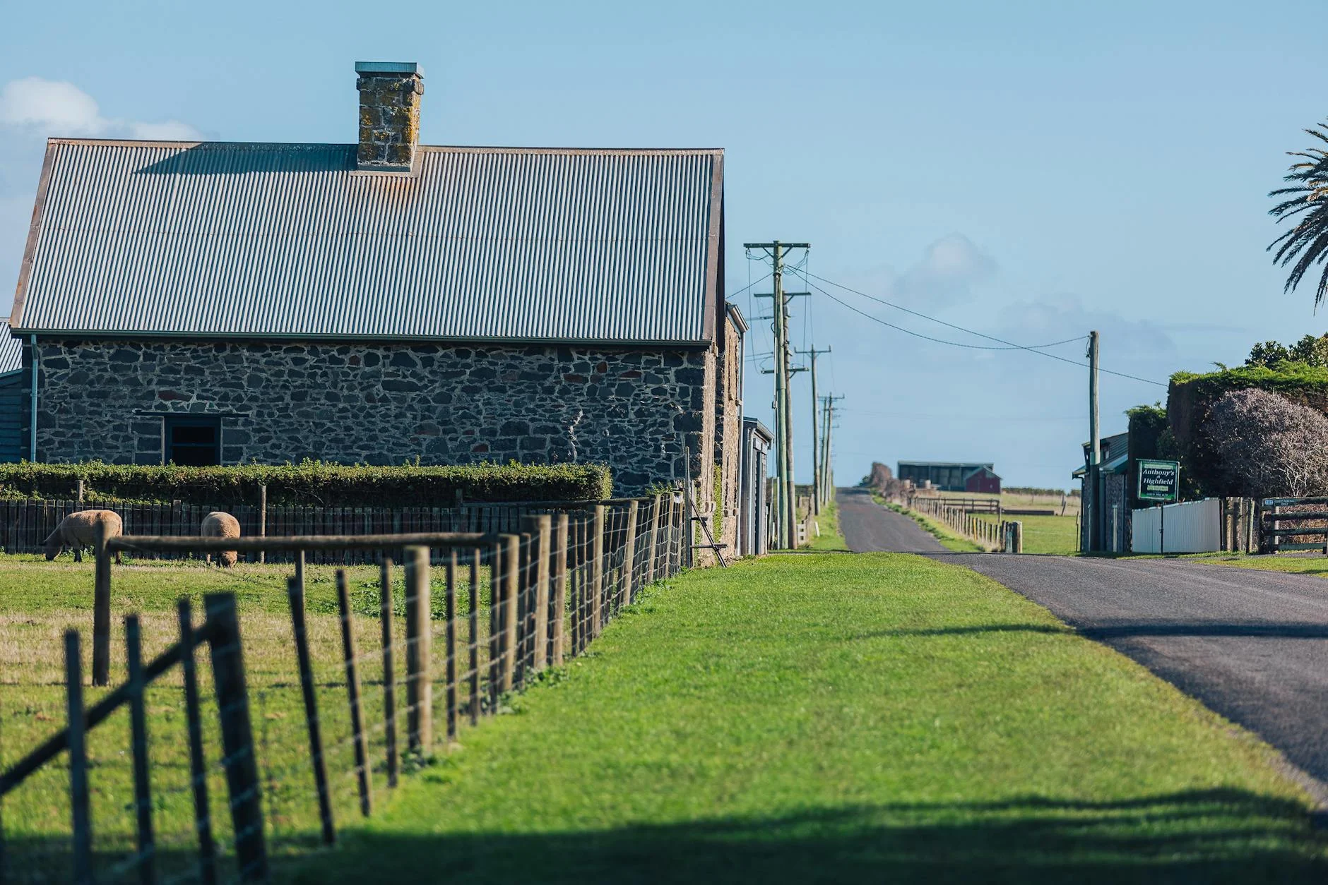
Woodbridge was a significant port in the early colonial period, with ferries connecting the Channel settlements to...
Road quality
7.8 RQS
Strong. Above average on most quality signals.
Accessibility
Fully sealed
Best in Sports car. Peak season: Year-round.
7-day forecast
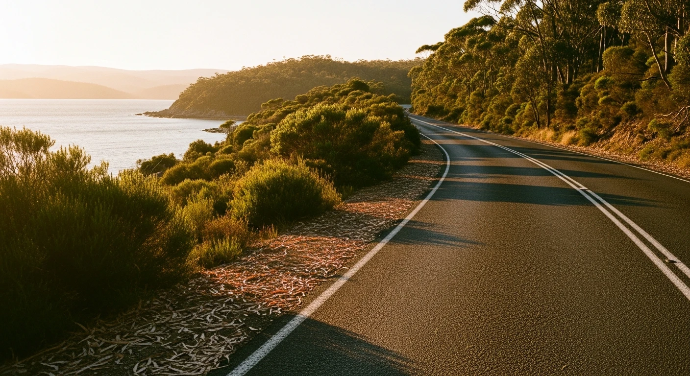
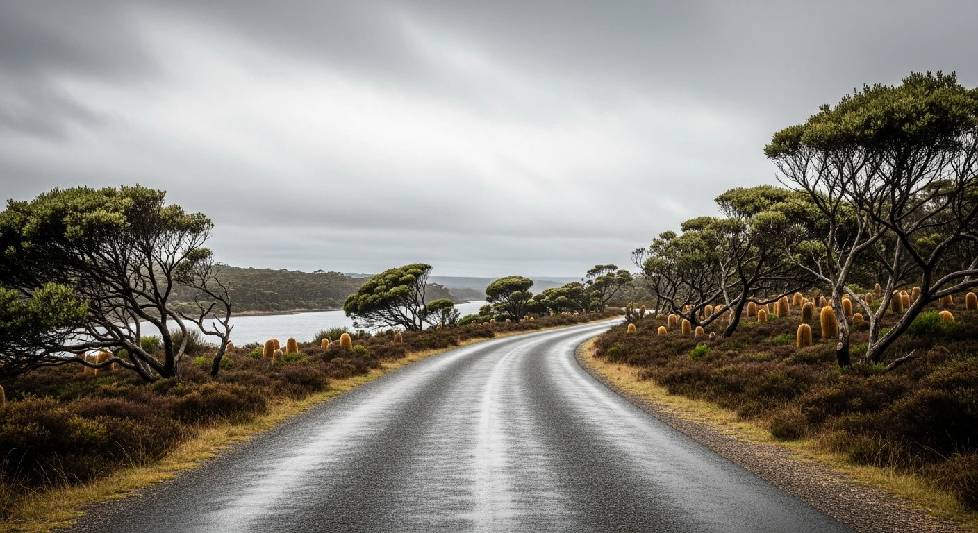
Short channel-foreshore stage with good surface and light traffic. Good sports car and motorbike road. Described by competitors as fairly open and slightly uphill.
Scored 7.8/10 by Contour's road quality algorithm across curviness, surface, elevation and traffic. Best suited for sports car drivers.
The road
A short channel-country stage connecting the old ferry town of Woodbridge to Margate along the D'Entrecasteaux Channel foreshore. The 11-kilometre route runs close to the water for sections before climbing to the ridge above for the final approach to Margate. Competitors describe it as fairly open and slightly uphill. Woodbridge was once the terminus of the Channel ferry to Hobart before reliable road access was established - the town retains its maritime character with several old boat sheds and a working jetty.
A short channel-country stage connecting the old ferry town of Woodbridge to Margate along the D'Entrecasteaux Channel foreshore.
Why this road
The region
Woodbridge was a significant port in the early colonial period, with ferries connecting the Channel settlements to Hobart. The town retains its original character with several 19th-century buildings intact. Margate at the end of the stage is the commercial centre for the upper channel.
Before you go
Fuel in Margate. Woodbridge has limited services but the jetty and boat sheds are worth a short stop. Road is open year-round.
See a routing error?
Flag itWorth stopping for
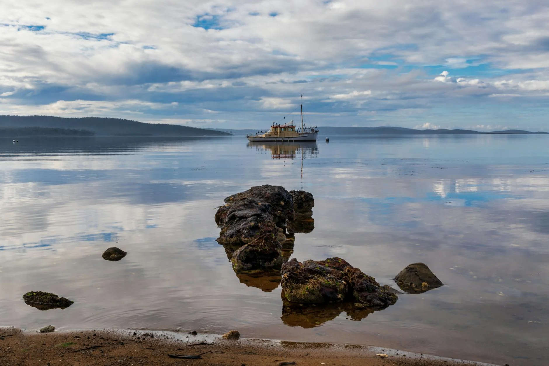
Woodbridge Jetty
The original ferry terminal, still intact with views across the channel.
Margate Train
Restored steam train at the Margate Village complex.
Route
Start
Woodbridge
End
Margate
Gallery
More roads like this