12 km
distance
18 min
Contour time
5.8
avg score
Sealed
surface
Scenery
Tasmania
Oyster Cove was established as a reserve for the remaining Aboriginal Tasmanians in 1847 after the earlier settlement...
Road quality
5.8 RQS
Every segment scored on 40+ data signals.
Accessibility
Fully sealed
Best in Sports car. Peak season: Year-round.
7-day forecast
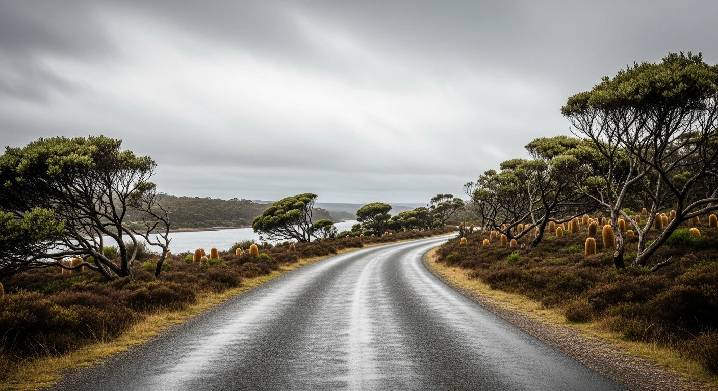
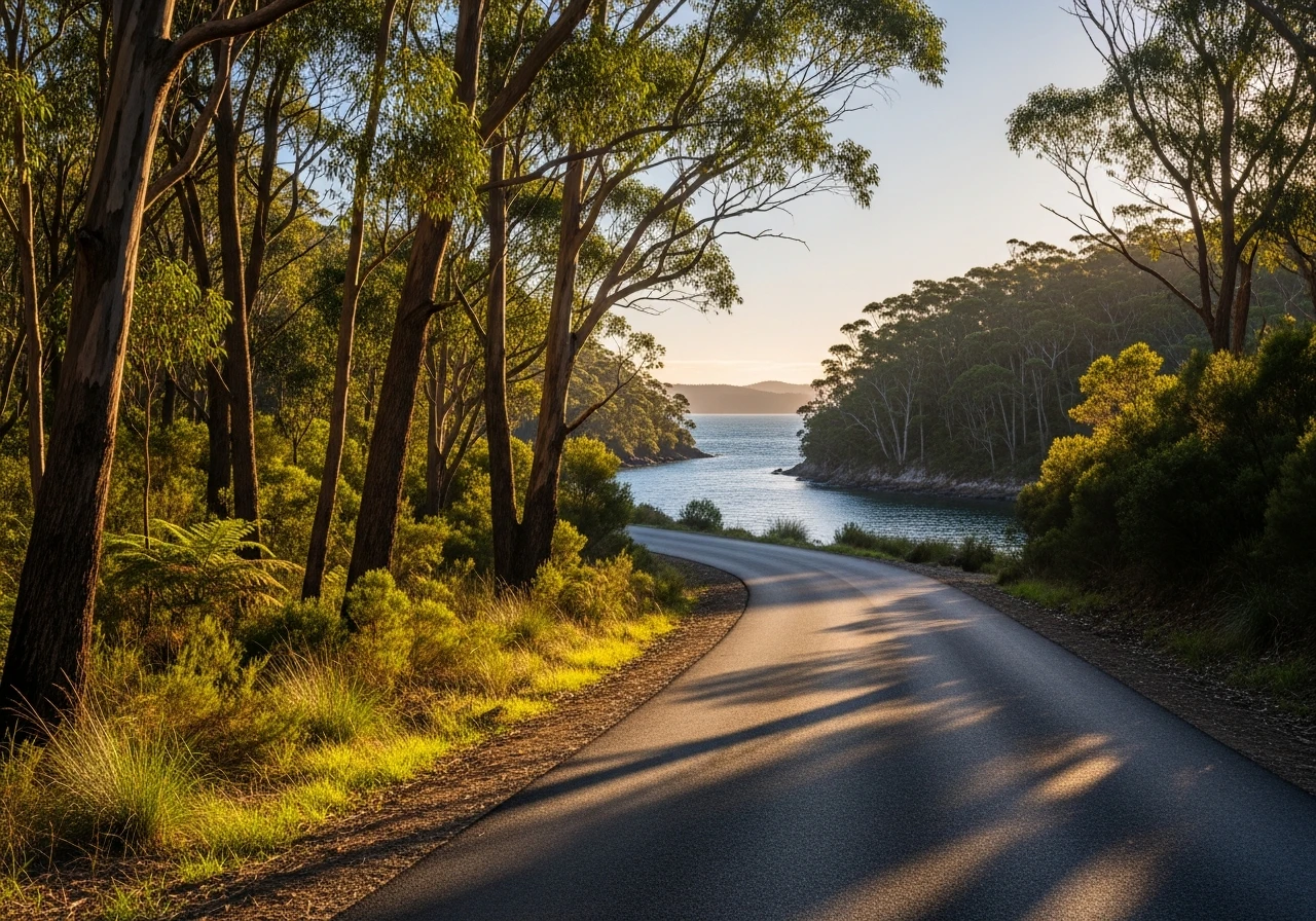
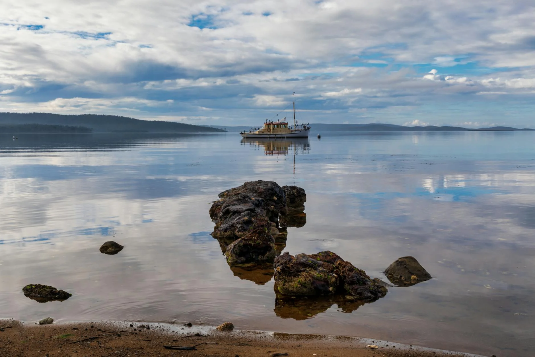
Good sports car and motorbike stage through she-oak and teatree with channel views.
Scored 5.8/10 by Contour's road quality algorithm across curviness, surface, elevation and traffic. Best suited for sports car drivers.
The road
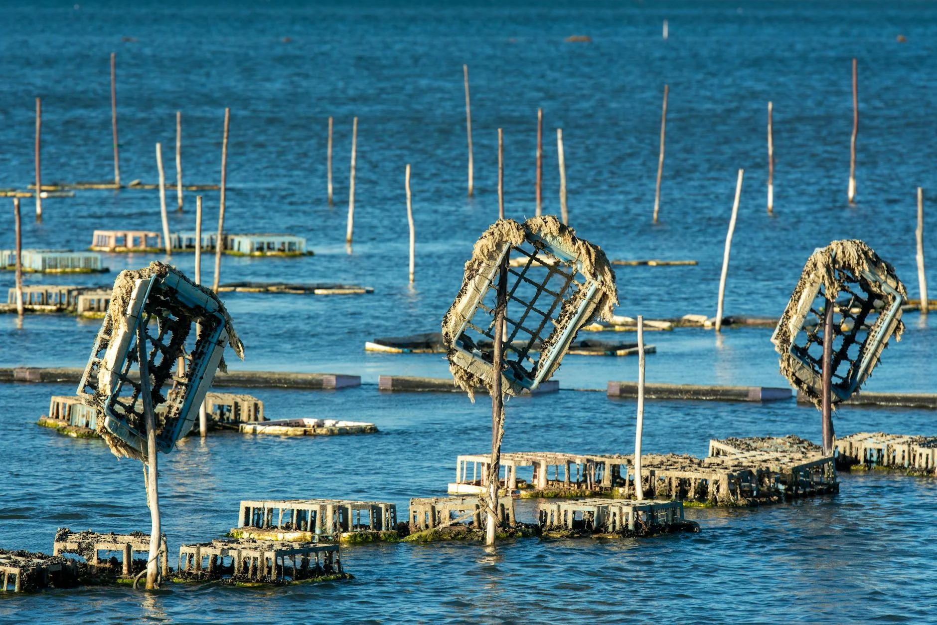
The channel-country road that appears in both the Tasmania Tarmac and Wrest Point collections - the same road, tracked independently in each challenge. The 12-kilometre stage follows the ridgeline above the channel with the water visible to the east through the she-oak and teatree. Oyster Cove is significant in Tasmanian history as the last settlement of Tasmania's Aboriginal people in the 19th century. Truganini, the last known full-blooded Aboriginal Tasmanian, died at Oyster Cove in 1876. The interpretive material at the reserve is worth reading.
The channel-country road that appears in both the Tasmania Tarmac and Wrest Point collections - the same road, tracked independently in each challenge.
Why this road
The region
Oyster Cove was established as a reserve for the remaining Aboriginal Tasmanians in 1847 after the earlier settlement at Flinders Island was closed. The site is a historic place and the history is recognised in the interpretive material at the reserve.
History
Oyster Cove was the last settlement for Aboriginal Tasmanians in the 19th century. The community was moved here from Flinders Island in 1847 and Truganini died here in 1876. The history of this place is part of what it means to drive this road.
Before you go
Fuel in Margate. Light traffic throughout. The Oyster Cove historic site has interpretive signage worth reading.
See a routing error?
Flag itWorth stopping for
Oyster Cove historic site
The last settlement of Aboriginal Tasmanians in the 19th century, with interpretive signage.
Margate
Main services for the upper channel - good coffee and provisions.
Route
Start
Near Oyster Cove
End
Flowerpot
Gallery
More roads like this