Dover
17 km
distance
22 min
Contour time
8.5
avg score
Sealed
surface
Scenery
Tasmania
Dover is a small town on the D'Entrecasteaux Channel, 90 km south of Hobart. The surrounding area is orchard and...
Road quality
8.5 RQS
Exceptional. Consistently high curviness, surface, and low traffic.
Accessibility
Fully sealed
Best in Sports car. Peak season: Year-round.
7-day forecast
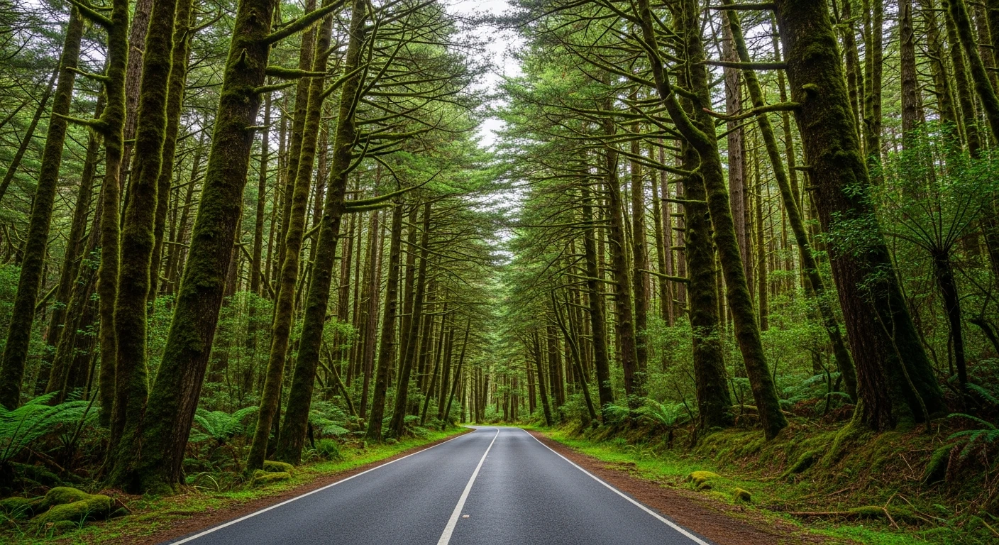
Good sports car and motorbike stage through the southern channel country. Tight hilltop sections with channel views and faster valley descents.
Scored 8.5/10 by Contour's road quality algorithm across curviness, surface, elevation and traffic. Best suited for sports car drivers.
The road
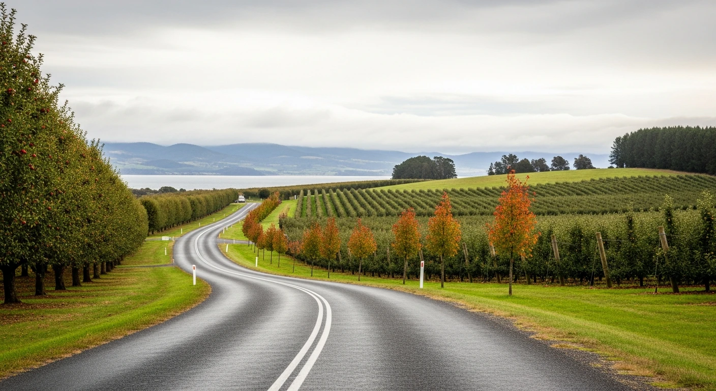
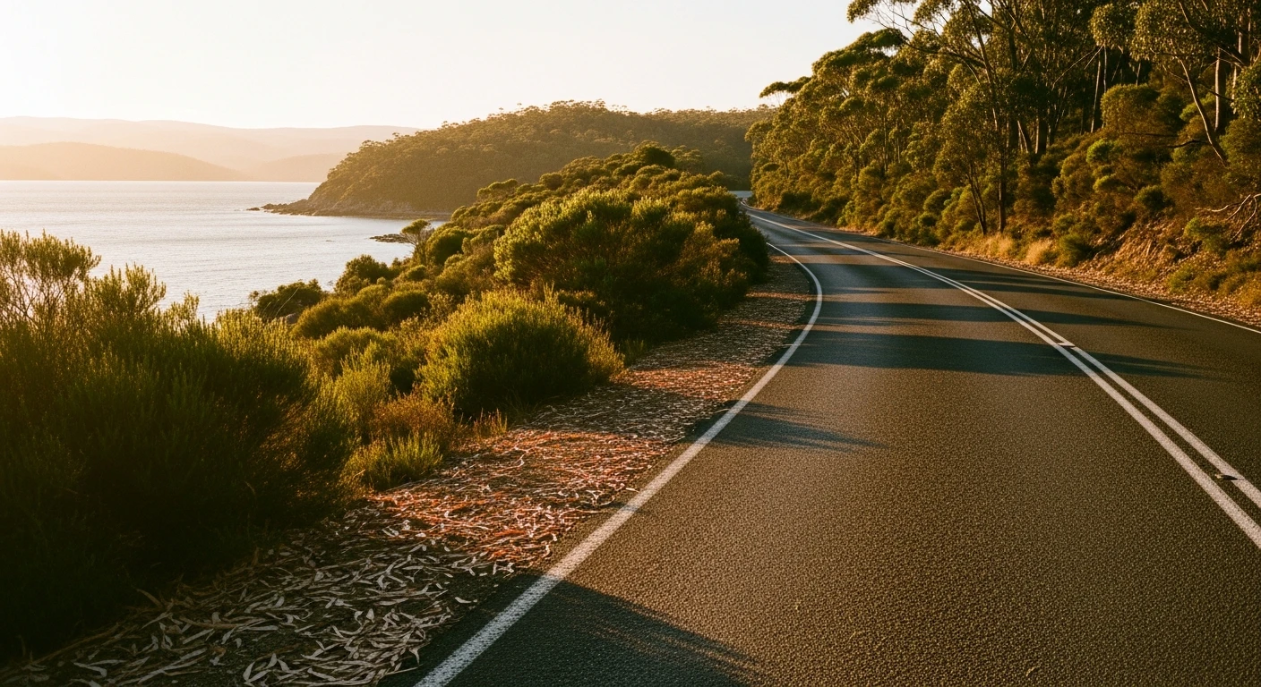
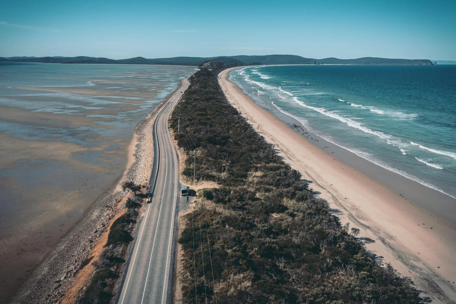
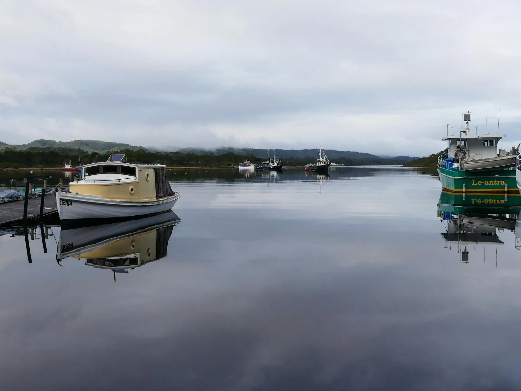
A 17-kilometre channel-country stage in Tasmania's far south. The road navigates the ridges and valleys above the D'Entrecasteaux Channel, alternating between tight hilltop sections with channel views and faster valley descents through orchard land. Dover is the last sizeable town on the Channel Highway before the road becomes increasingly remote heading south. The Police Point lookout above Dover gives views across the full channel to Bruny Island. From Dover the road continues south to Southport and eventually to Cockle Creek - the southernmost point accessible by car in Australia.
A 17-kilometre channel-country stage in Tasmania's far south.
Why this road
The region
Dover is a small town on the D'Entrecasteaux Channel, 90 km south of Hobart. The surrounding area is orchard and fishing country, largely unchanged from its 19th-century origins. The Channel Highway continues south from Dover to the road end at Cockle Creek.
Before you go
Fuel in Geeveston or Dover. The Dover Hotel is the main services point at the stage end. The Police Point lookout is a short drive above the town. Open year-round.
See a routing error?
Flag itWorth stopping for
Police Point lookout
Views across the D'Entrecasteaux Channel to Bruny Island from above Dover.
Cockle Creek road end
50 km south of Dover, the southernmost point accessible by car in Australia.
Route
Start
Near Surges Bay
End
Dover
Gallery
More roads like this