Mylor to Kangarilla
25 km
distance
22 min
Contour time
4.9
avg score
Sealed
surface
Scenery
South Australia
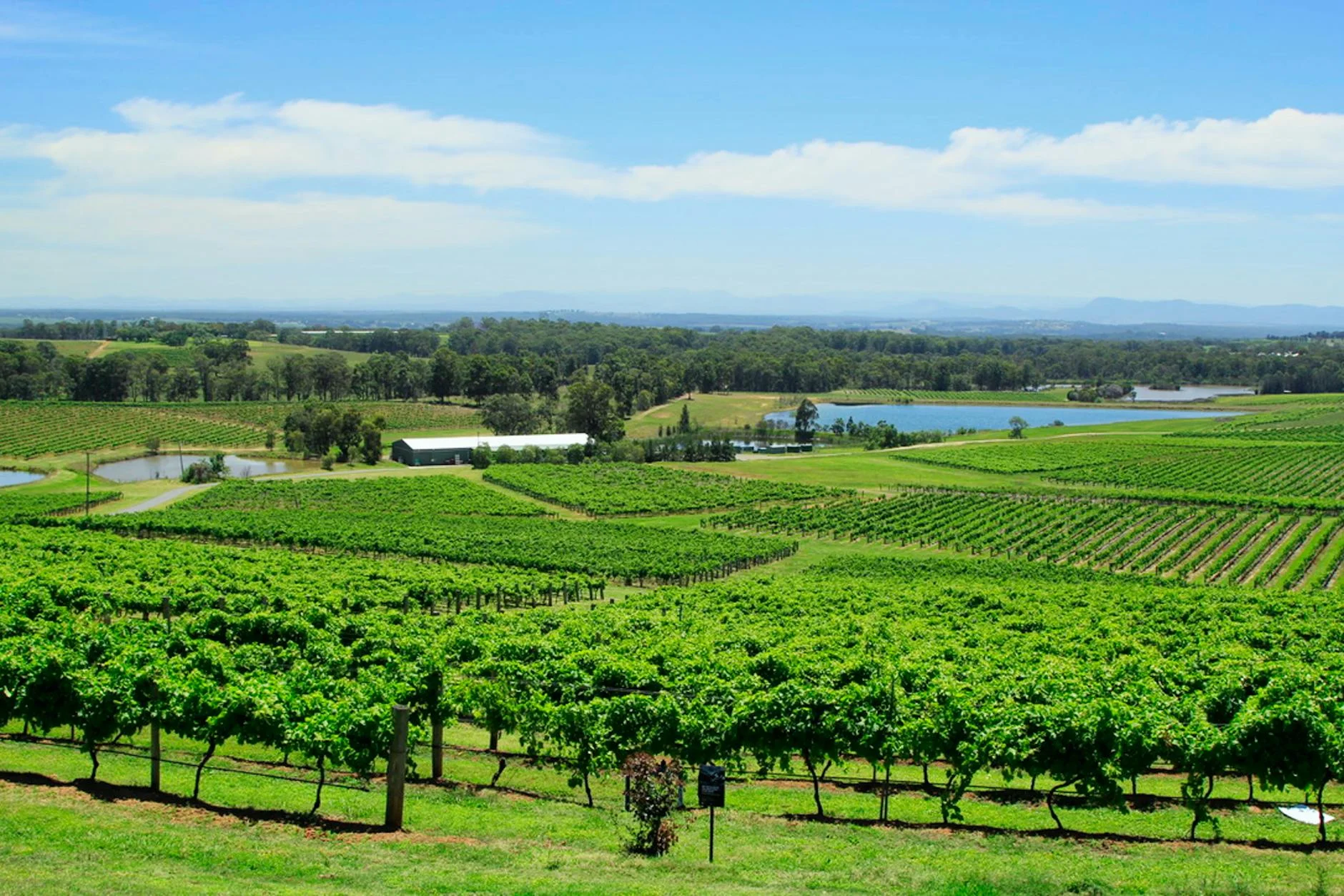
The southern Adelaide Hills between Mylor and Kangarilla is vineyard country at the northern edge of the McLaren Vale...
Road quality
4.9 RQS
Every segment scored on 40+ data signals.
Accessibility
Fully sealed
Best in Sports car. Peak season: Year-round.
7-day forecast
Accessible stage suitable for all vehicle types. A good final stage to the Adelaide Hills challenge.
Scored 4.9/10 by Contour's road quality algorithm across curviness, surface, elevation and traffic. Best suited for sports car drivers.
The road
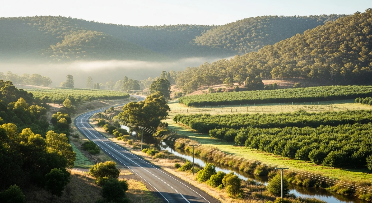
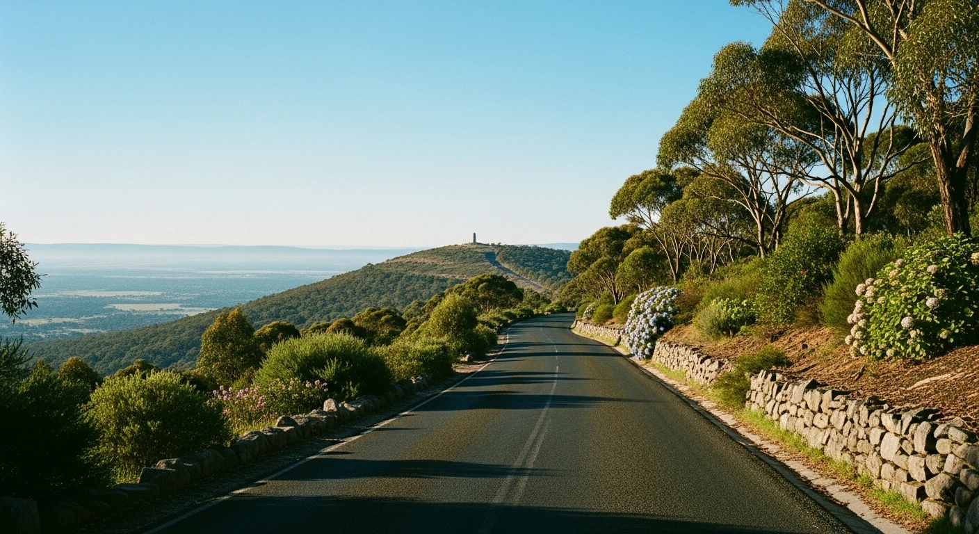
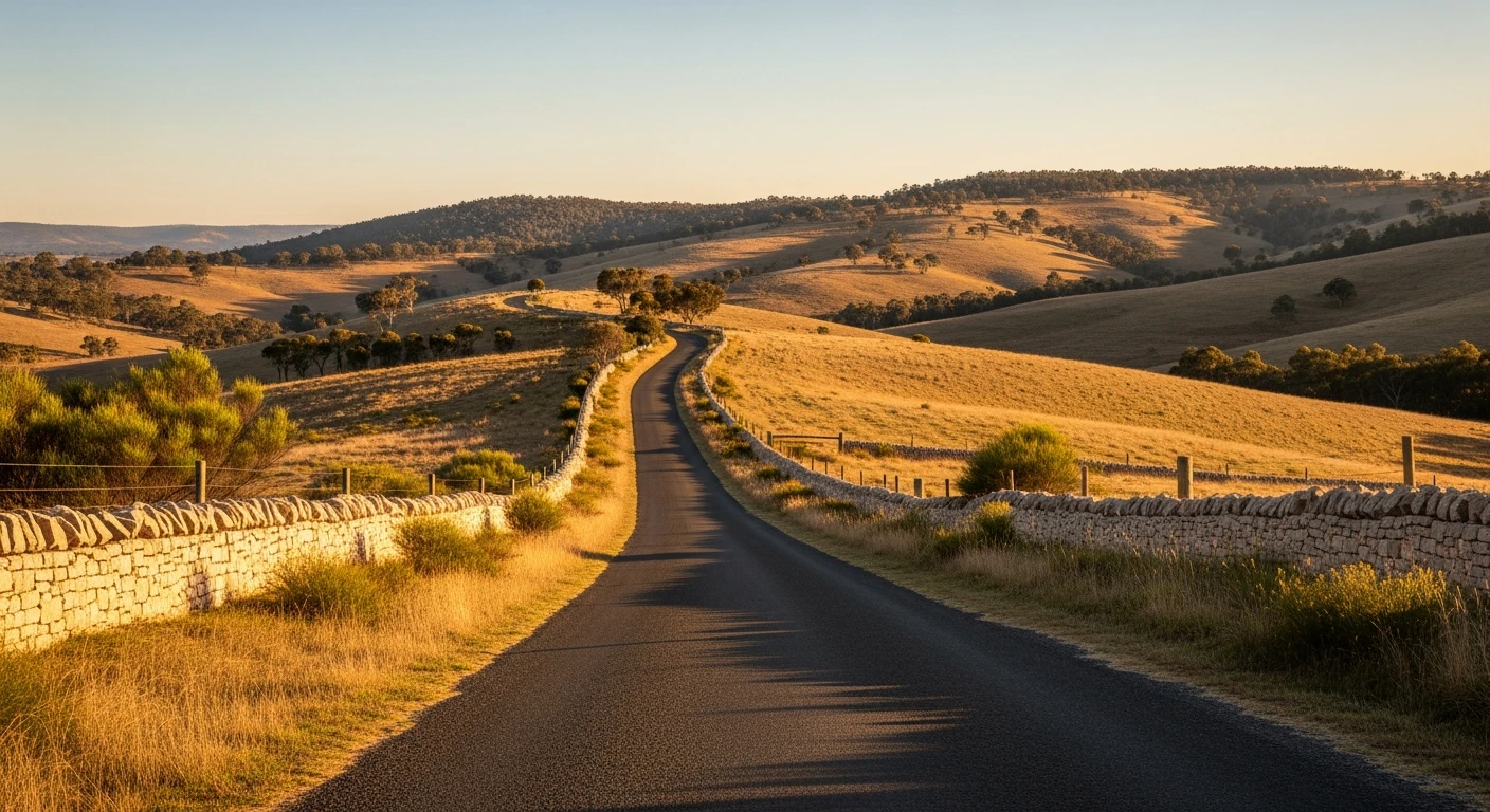
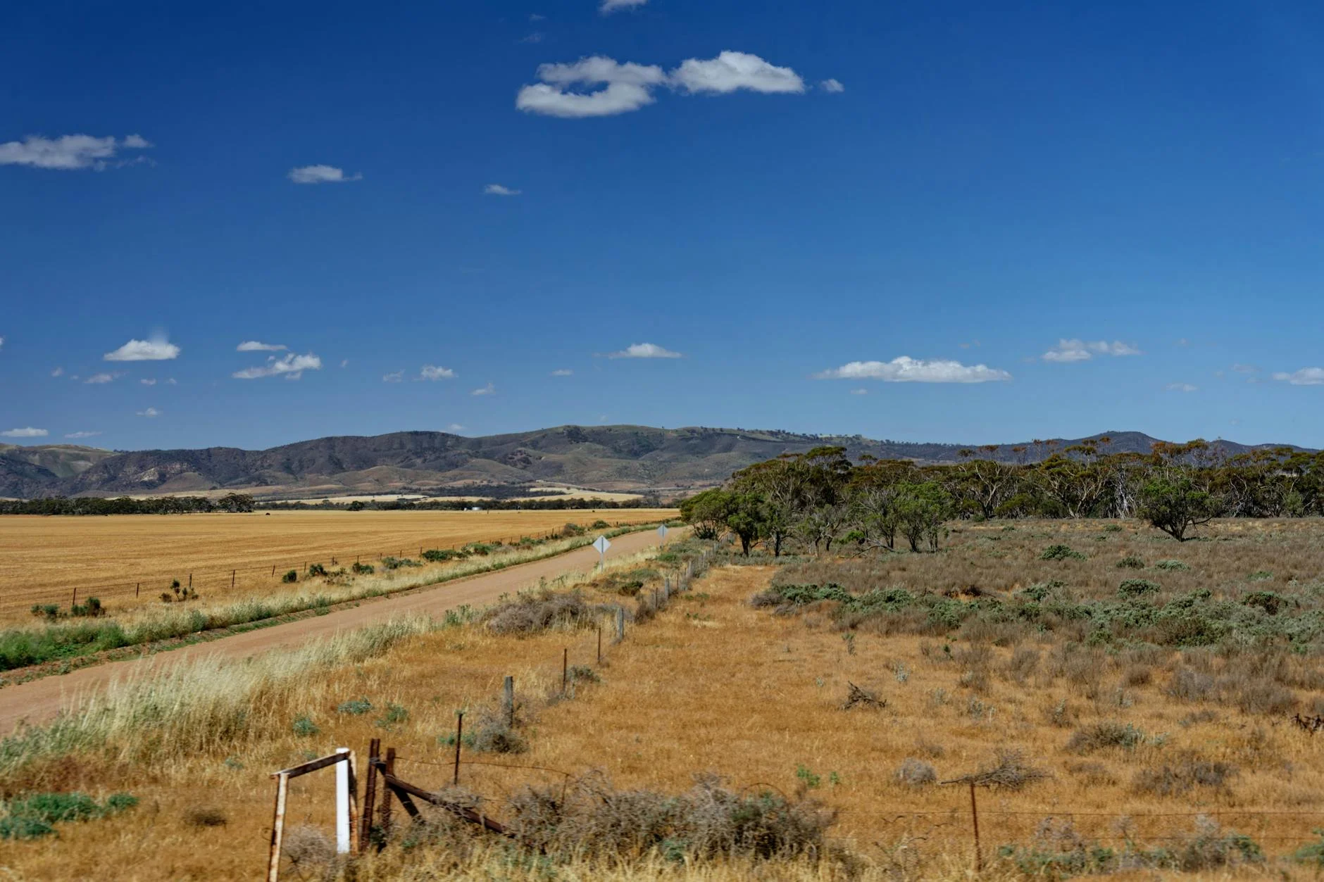
The Mylor to Kangarilla stage covers the southern reaches of the Adelaide Hills challenge, taking in the Onkaparinga Valley wine country before descending to Kangarilla on the southern fringe of the hills. The 14-kilometre route is more pastoral than the northern stages - vineyard views, sheep paddocks, and smaller private properties alongside the road. Mylor is best known in South Australia for its proximity to Belair National Park and the historic Belair railway station. The road south through the Onkaparinga Valley is quieter and less frequently driven than the northern hills stages, which makes it a better driving experience despite the gentler character. Kangarilla sits at the northern edge of the McLaren Vale wine region, which makes the end of this stage a natural transition into one of Australia's best shiraz regions.
Why this road
The region
The southern Adelaide Hills between Mylor and Kangarilla is vineyard country at the northern edge of the McLaren Vale wine region. The Onkaparinga River rises in the hills and flows west through Old Noarlunga to Gulf St Vincent.
Before you go
Fuel in Mylor or Stirling. The McLaren Vale wine region is 20 minutes from Kangarilla and makes an excellent pairing with the driving day.
See a routing error?
Flag itWorth stopping for
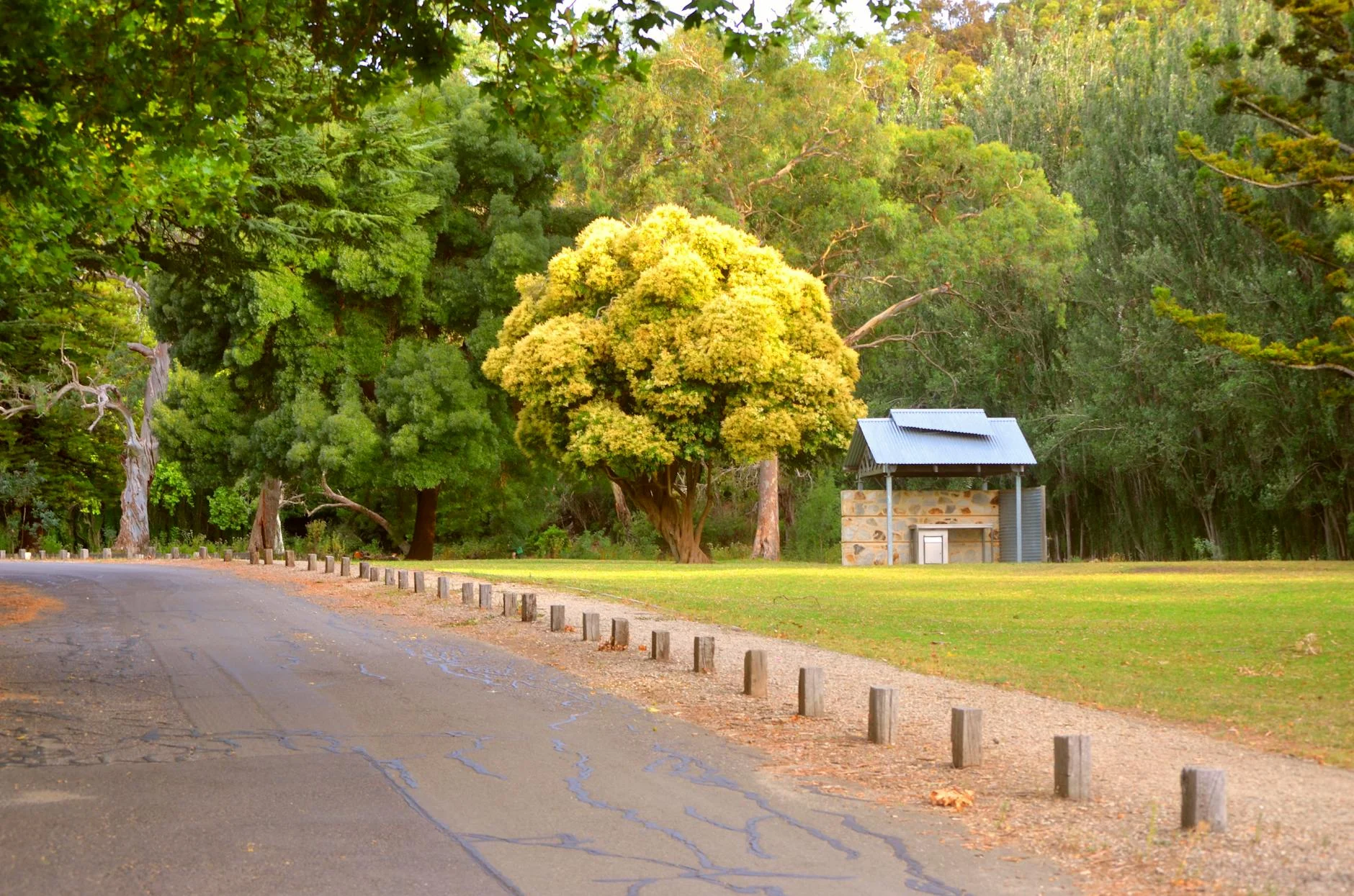
Belair National Park
Historic recreation reserve near Mylor with walking trails and the restored Old Government Farm.
McLaren Vale Wine Region
20 minutes from Kangarilla, one of Australia's premier shiraz regions.
Route
Start
Mylor
End
Kangarilla
Gallery
More roads like this