Lobethal Road
7 km
distance
10 min
Contour time
7.8
avg score
Sealed
surface
Scenery
South Australia
Lobethal sits in the most heavily-forested part of the Adelaide Hills, in a valley settled exclusively by German...
Road quality
7.8 RQS
Strong. Above average on most quality signals.
Accessibility
Fully sealed
Best in Sports car. Peak season: Year-round.
7-day forecast
Good stage for sports car and motorbike. The descent section rewards anticipation - reacting is already too late.
Scored 7.8/10 by Contour's road quality algorithm across curviness, surface, elevation and traffic. Best suited for sports car drivers.
The road
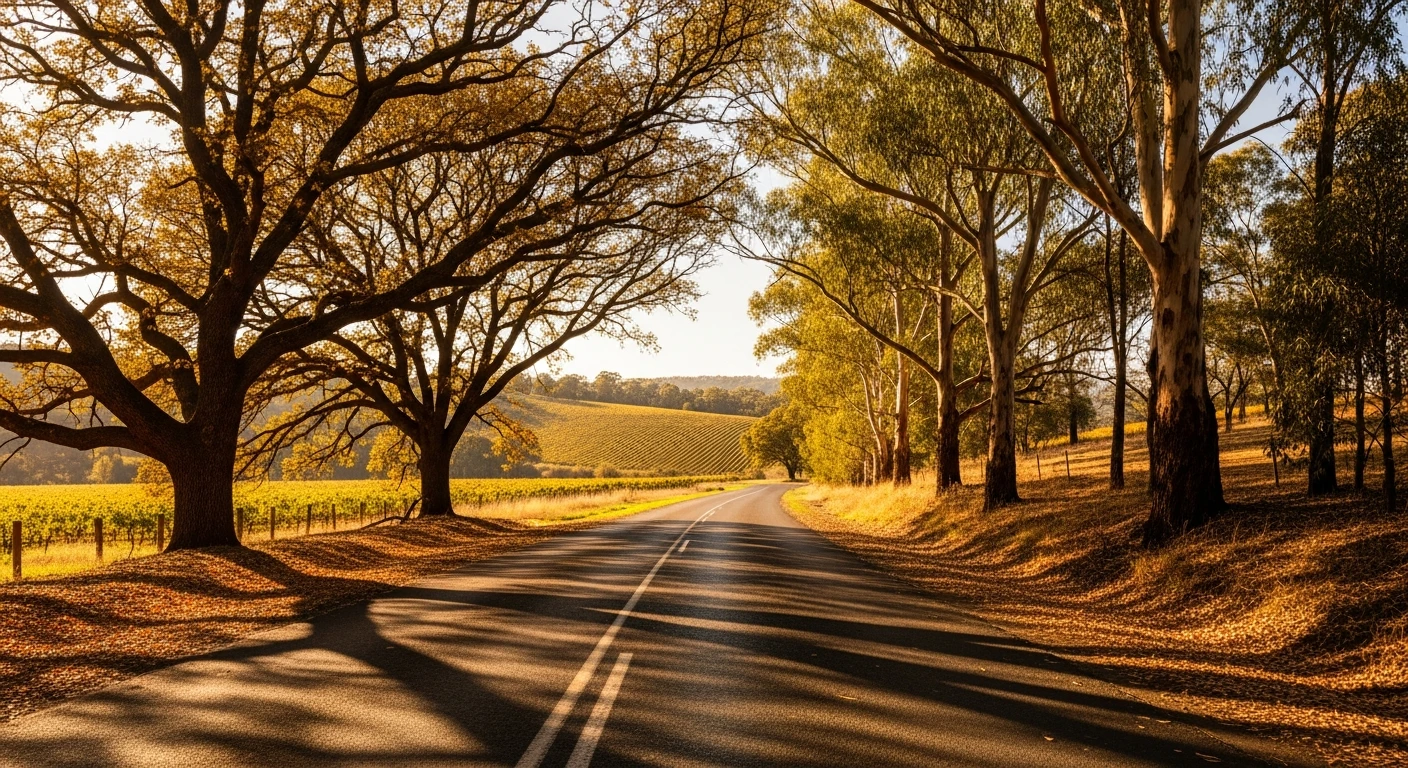
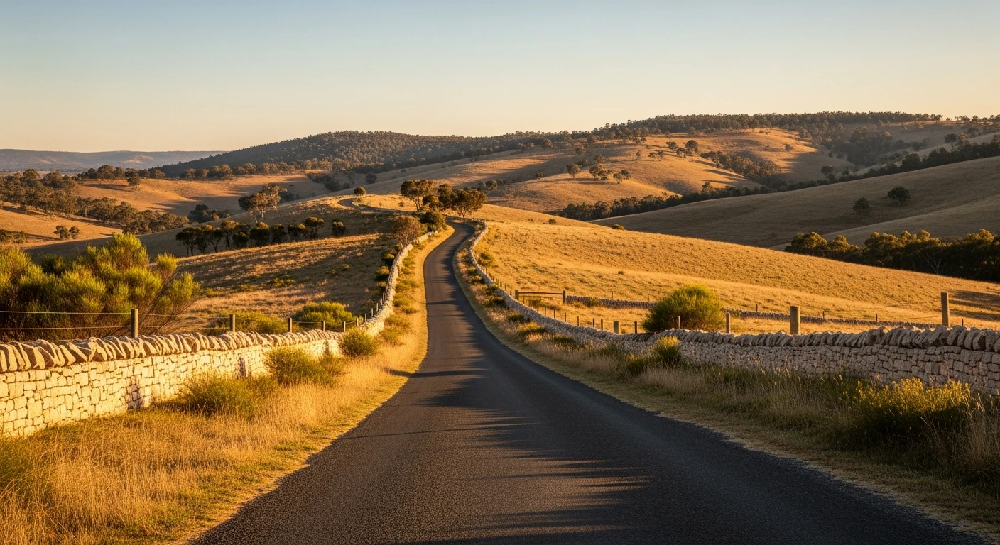
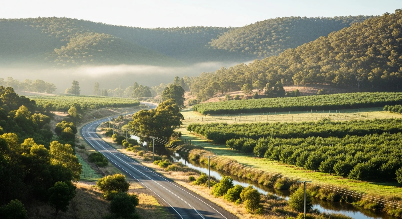
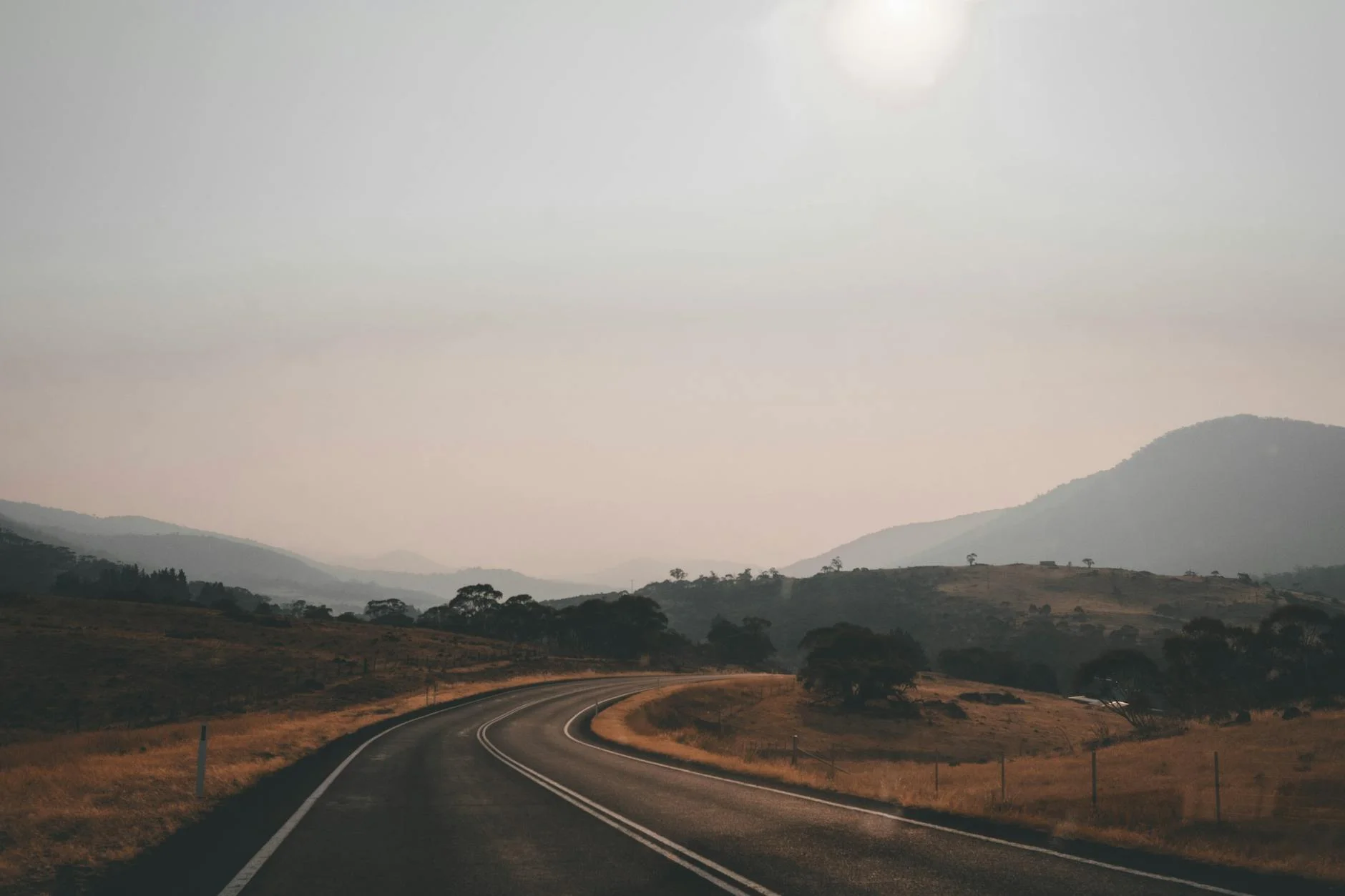
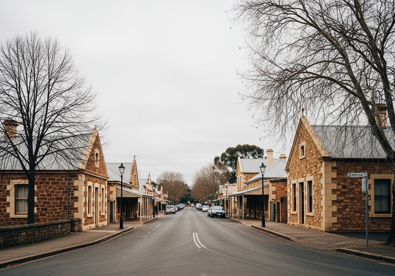
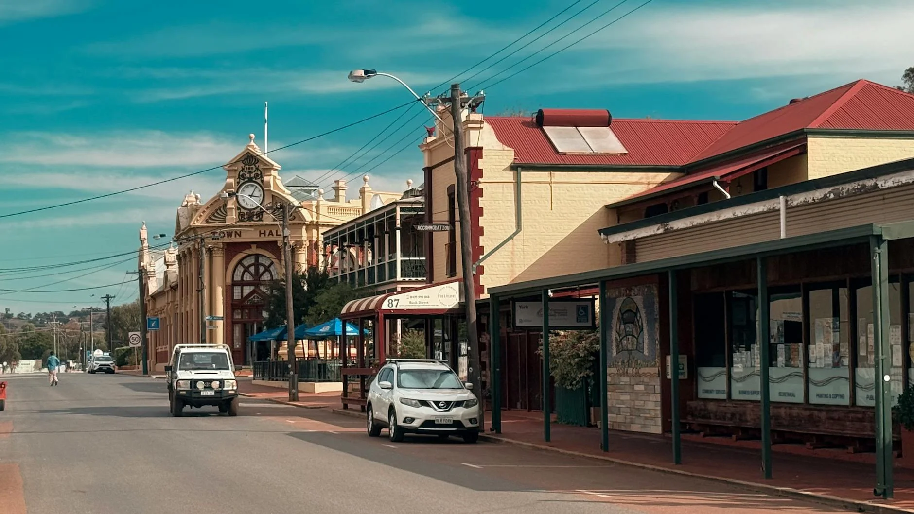
The Lobethal stage covers the 7 kilometres between Woodside and Lobethal in the Adelaide Hills. The Targa Adelaide and Adelaide Rally have both used the Lobethal area as competitive stages - the road from Woodside drops through apple orchards and forest before the road tightens into the valley approach to Lobethal. The name Lobethal means 'Valley of Praise' in German, given by Silesian Lutheran settlers in the 1840s. The town retains more of its original Germanic character than any other Hills settlement. The Mill Gallery and several nineteenth century buildings survive in good condition. The descent section is the technical highlight - a series of tightening bends where the road narrows against the valley wall and the risk of overestimating the radius appears quickly. Short but intense, and best driven when you know the corners.
The Lobethal stage covers the 7 kilometres between Woodside and Lobethal in the Adelaide Hills.
Why this road
The region
Lobethal sits in the most heavily-forested part of the Adelaide Hills, in a valley settled exclusively by German Lutheran immigrants from Silesia. The Woodside end of the route is wine country with cheese producers and cellar doors.
History
Lobethal was founded in 1842 by German Lutheran refugees from religious persecution in Silesia. The name means 'Valley of Praise' in German. The community maintained German as a primary language until the First World War.
Before you go
Fuel in Woodside or Lobethal. The Lobethal Bierhaus is a recommended stop at the end. The town's Christmas lights (December) draw large crowds - drive the stage outside the Christmas season if traffic is a concern.
See a routing error?
Flag itWorth stopping for
Lobethal Bierhaus
Craft brewery in the heritage town serving German-style beers and food.
Woodside Cheese Wrights
Artisan cheese producer in Woodside using Adelaide Hills milk.
Route
Start
Woodside
End
Lobethal
Gallery
More roads like this