Greenhill Road
12 km
distance
15 min
Contour time
8.2
avg score
Sealed
surface
Scenery
South Australia
Greenhill Road connects the Adelaide eastern suburbs to the hills villages of Summertown and Uraidla. The area sits at...
Road quality
8.2 RQS
Strong. Above average on most quality signals.
Accessibility
Fully sealed
Best in Sports car. Peak season: Year-round.
7-day forecast
A more accessible stage than Norton Summit or Lobethal. Good for EV and touring vehicles as well as sports cars.
Scored 8.2/10 by Contour's road quality algorithm across curviness, surface, elevation and traffic. Best suited for sports car drivers.
The road
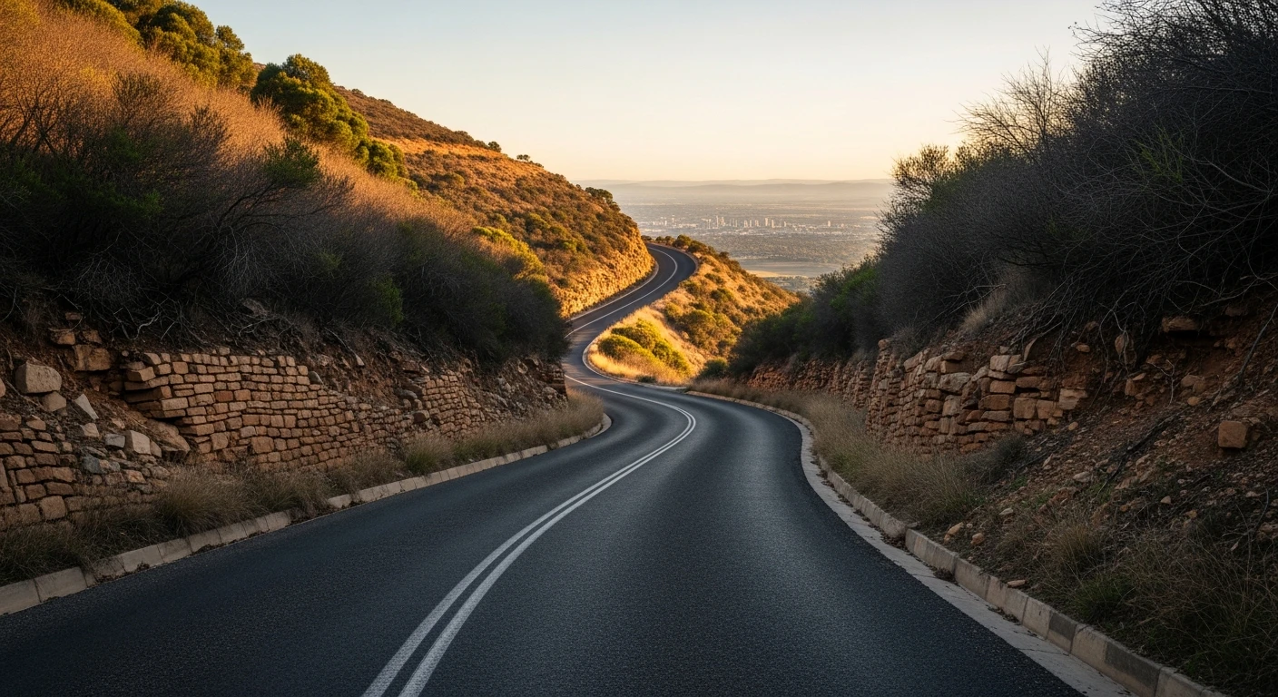
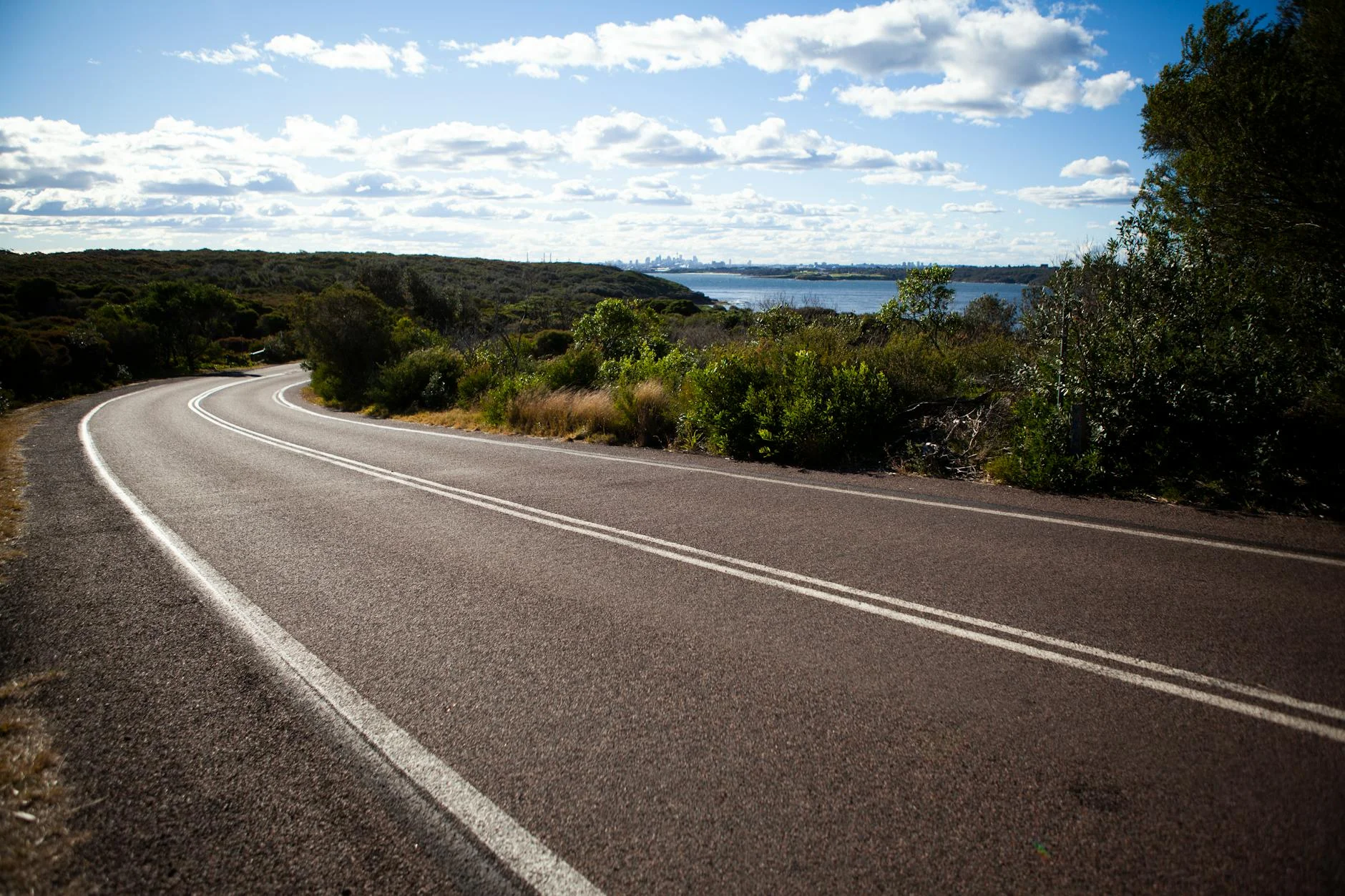
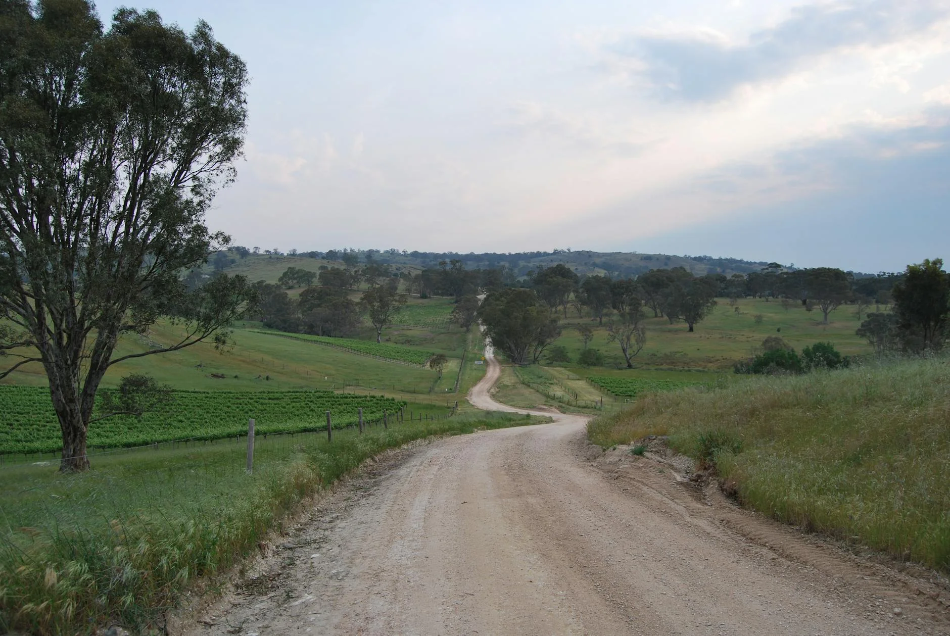
Greenhill Road runs from the Adelaide eastern suburbs into the hills through Summertown and Uraidla. The 8-kilometre climbing section gains 471 metres and has been used as an Adelaide Rally stage - the road is wider and faster than the valley stages, built to carry commuter traffic as well as recreational driving. The character is different from the other Adelaide Hills stages - less technical, more flowing. The cycling community knows it well (the Tour Down Under features the Greenhill Road climb) and the consistent quality makes it the most approachable stage in the Adelaide Hills collection. The road was significantly upgraded in the 1990s as suburban Adelaide expanded up the hills. The improvements maintained the views while adding guardrail and improved surfaces. The result is a fast, well-maintained hill climb with the city visible on one side and wine country on the other.
Greenhill Road runs from the Adelaide eastern suburbs into the hills through Summertown and Uraidla.
Why this road
The region
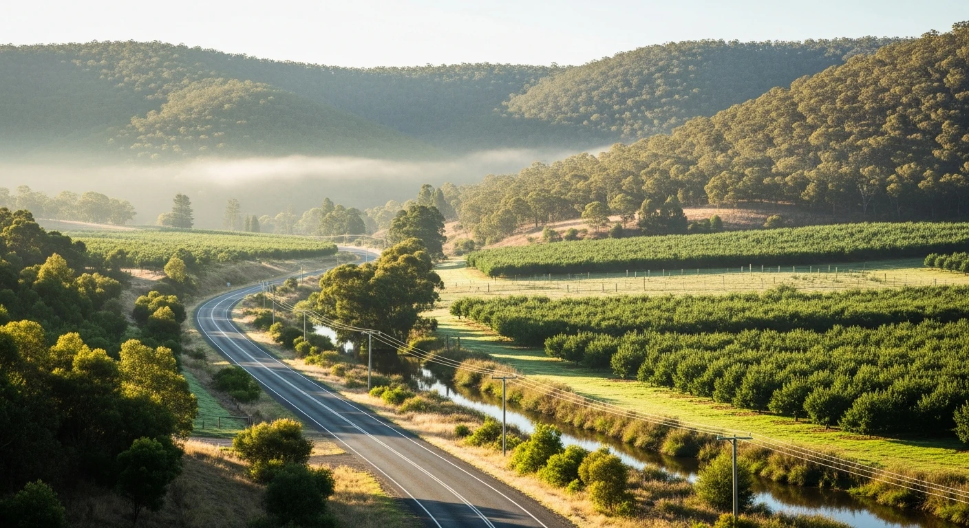
Greenhill Road connects the Adelaide eastern suburbs to the hills villages of Summertown and Uraidla. The area sits at the edge of the Adelaide Hills wine region, with cool-climate vineyards visible from the upper sections of the road.
Before you go
Multiple fuel options in the eastern suburbs and along the route. The road carries commuter traffic on weekday mornings - best driven mid-morning or afternoon. Good coffee in Uraidla.
See a routing error?
Flag itWorth stopping for
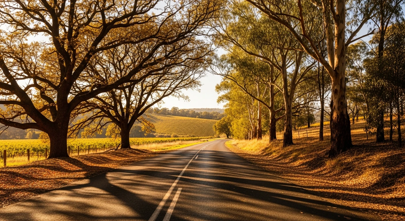
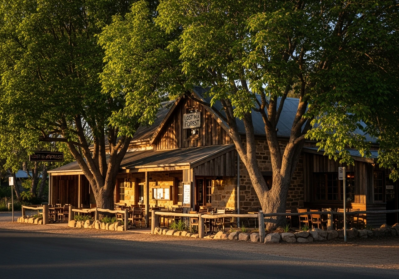
Uraidla
Small hills village at the top with the Lost in a Forest pizza restaurant and good coffee.
Stirling Village
French-style village atmosphere nearby with good restaurants and the Botanic Gardens.
Route
Start
Hazelwood Park
End
Uraidla
Gallery
More roads like this