Mount Lofty Summit Road
15 km
distance
22 min
Contour time
7.3
avg score
Sealed
surface
Scenery
South Australia
The Mount Lofty Ranges are the upland region that separates the Adelaide Plains from the Murray-Darling basin to the...
Road quality
7.3 RQS
Strong. Above average on most quality signals.
Accessibility
Fully sealed
Best in Sports car. Peak season: Year-round.
7-day forecast
Good sports car road within 15 minutes of the CBD. Best driven early morning before tourist traffic builds. Motorbike equally rewarding.
Scored 7.3/10 by Contour's road quality algorithm across curviness, surface, elevation and traffic. Best suited for sports car drivers.
The road
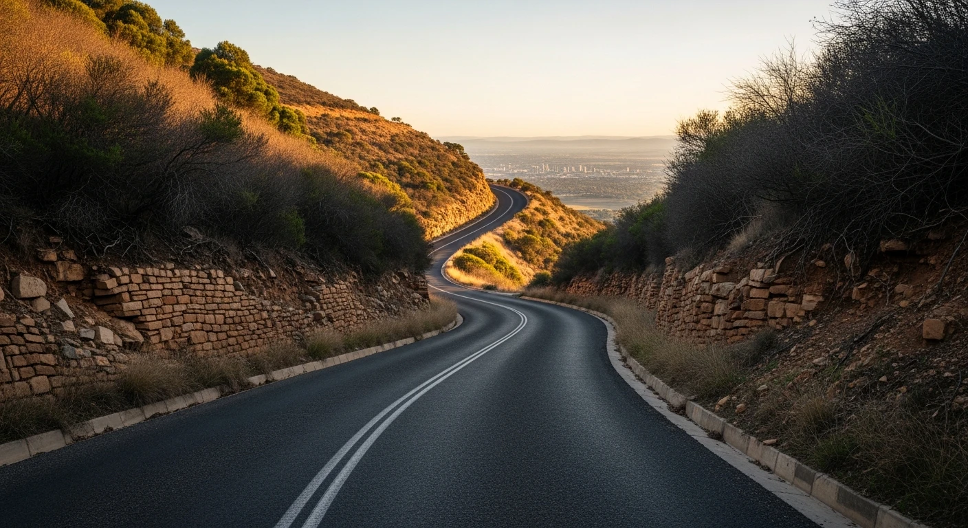
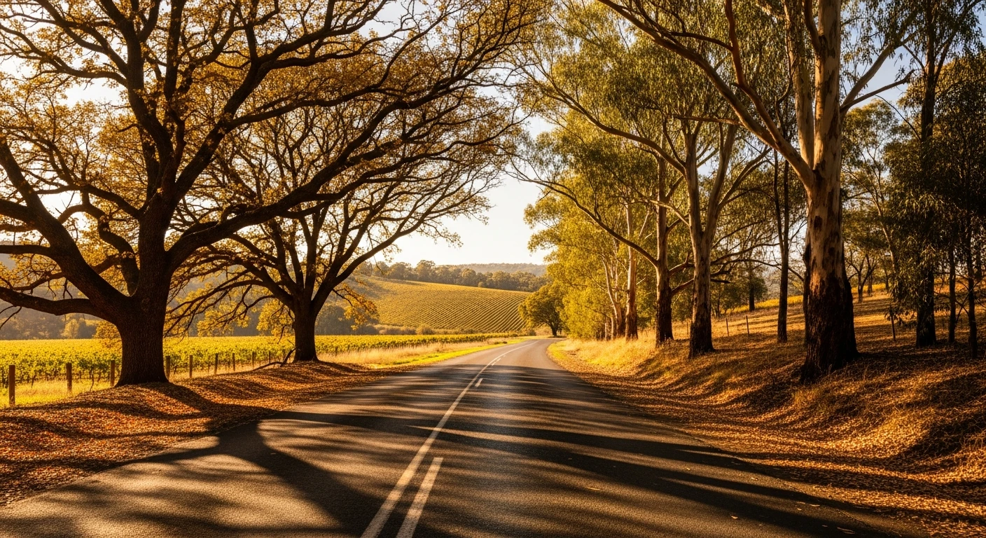
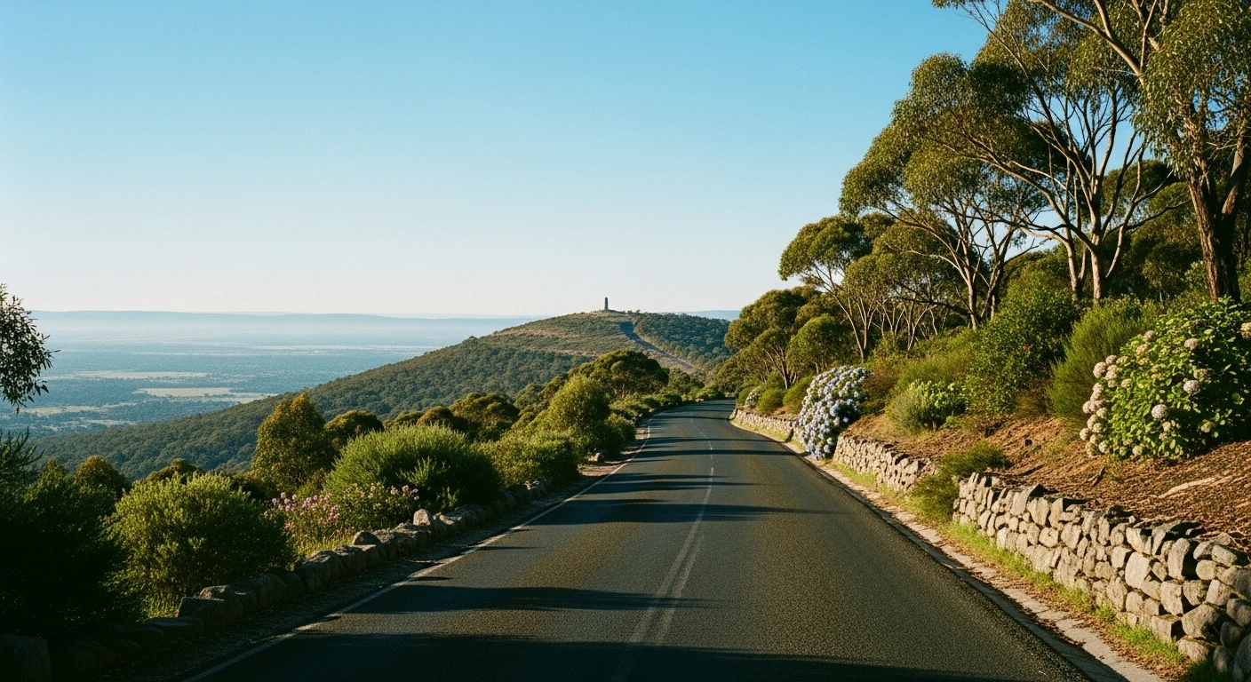
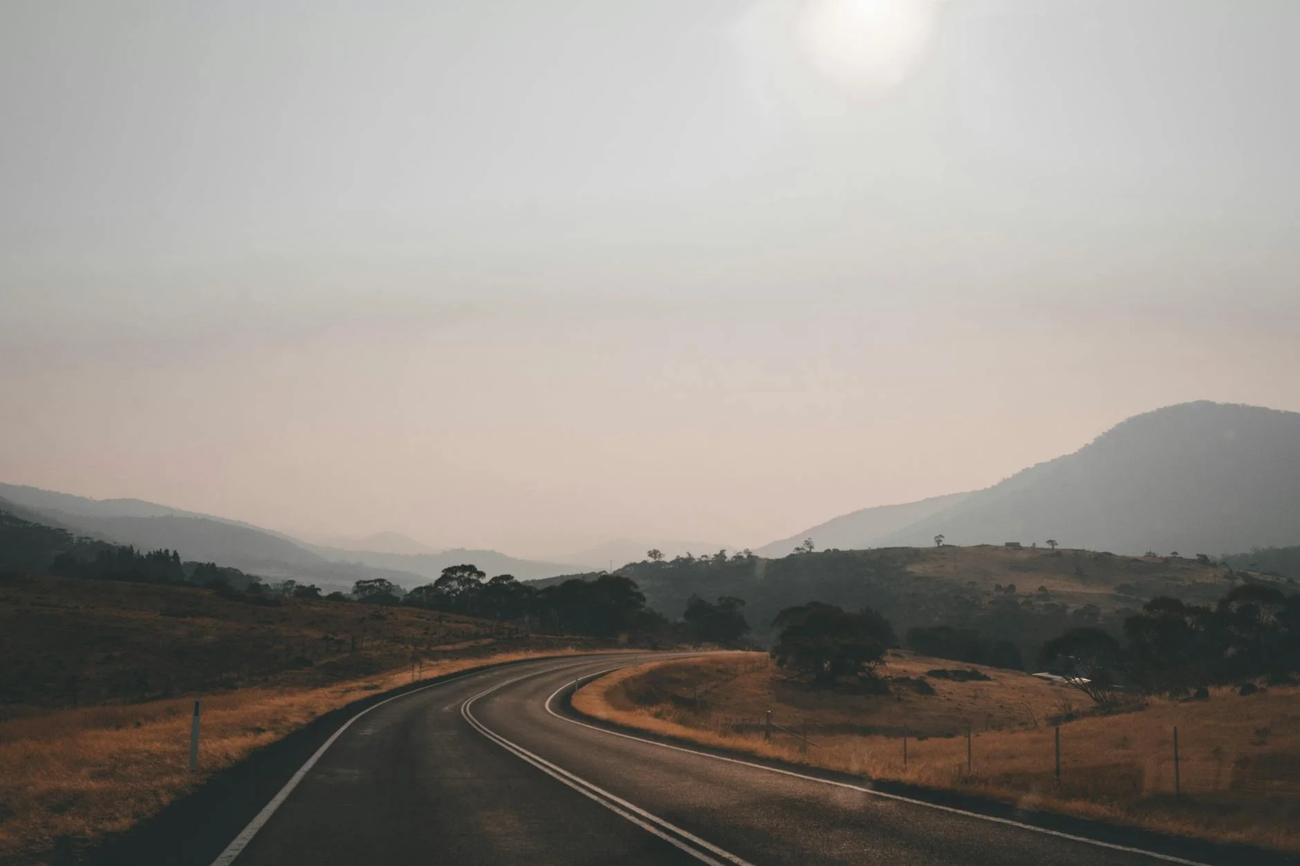
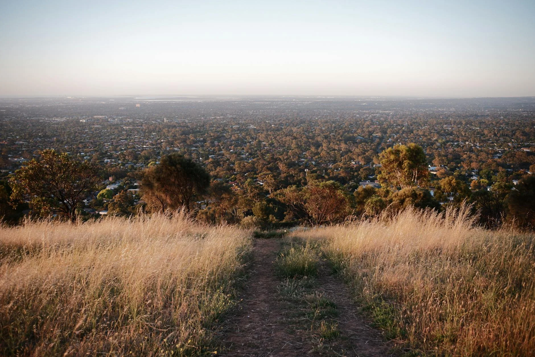
Mount Lofty is the dominant peak above Adelaide, the highest point in the southern Mount Lofty Ranges at 710 metres, and the summit road from Burnside is the most accessible tarmac challenge in South Australia. The 15-kilometre climb through Cleland National Park uses the natural ridge system to gain altitude efficiently, with the road quality consistently good and the surface well maintained for the significant tourist traffic it carries. The Adelaide Rally and Targa Adelaide have both used Mount Lofty Summit Road and the surrounding hills roads as competitive stages. The road from Burnside climbs through native bushland before emerging at the summit carpark with views across the Adelaide Plains to Gulf St Vincent on a clear day. The stage is the most urban in the Adelaide Hills collection - the lower sections are close to suburban Adelaide and the traffic can be significant on weekends. Early morning on weekdays, the road is different - quiet, the wallabies visible in the park margins, the city lights still fading on the plains below.
Why this road
The region
The Mount Lofty Ranges are the upland region that separates the Adelaide Plains from the Murray-Darling basin to the east. The ranges have been the source of Adelaide's water supply since the earliest colonial settlement and remain covered in a mix of conservation reserves, wineries, and agricultural land.
Before you go
Fuel in Burnside or the adjacent suburbs. The Summit Cafe is open daily and has excellent views. Mount Lofty Botanic Gardens below the summit are worth incorporating.
See a routing error?
Flag itWorth stopping for
Cleland Wildlife Park
Open-range wildlife park on the route with kangaroos, koalas, and wombats accessible on a short walk.
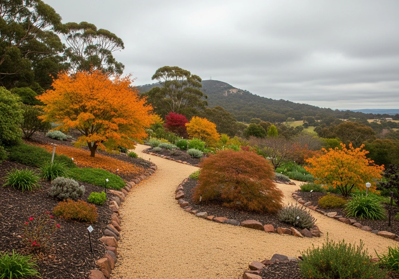
Mount Lofty Botanic Garden
Cool-climate botanic garden below the summit, excellent in autumn and spring.
Route
Start
Burnside
End
Mount Lofty Summit
Gallery
More roads like this