3 km
distance
8 min
Contour time
7.2
avg score
Sealed
surface
Scenery
Western Australia
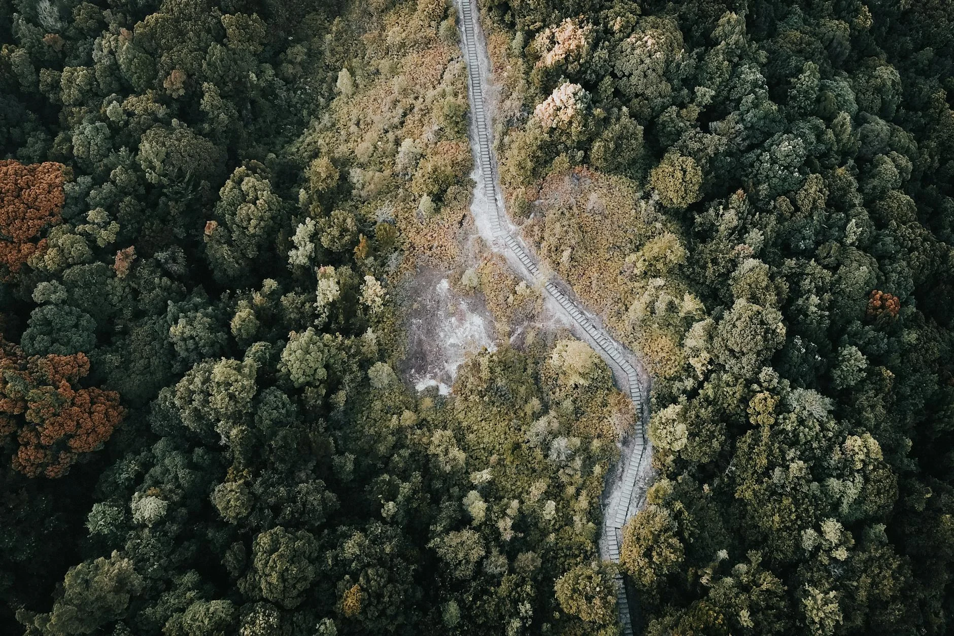
The Kalamunda Zig Zag sits in Gooseberry Hill National Park on the western face of the Darling Scarp. The original...
Road quality
7.2 RQS
Strong. Above average on most quality signals.
Accessibility
Fully sealed
Best in Sports car. Peak season: Year-round.
7-day forecast
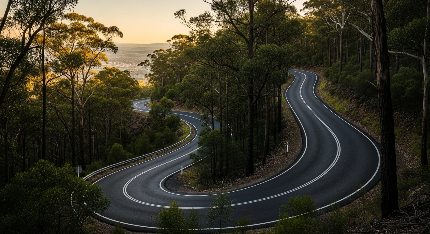
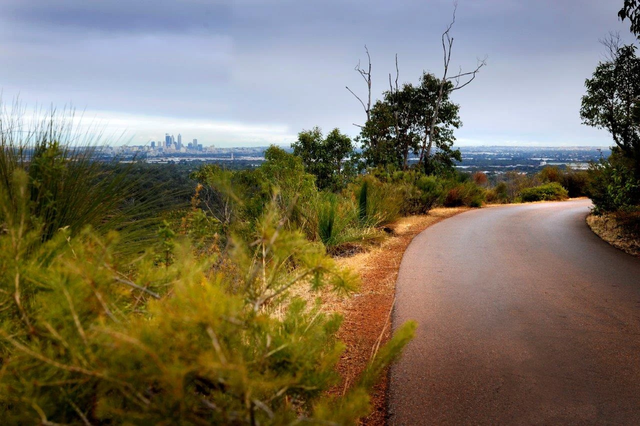
The signature stage of the Perth Hills collection. Sports car and motorbike. The view from the top across the Swan Coastal Plain to the coast is one of the best accessible from a road car within an hour of Perth.
Scored 7.2/10 by Contour's road quality algorithm across curviness, surface, elevation and traffic. Best suited for sports car drivers.
The road
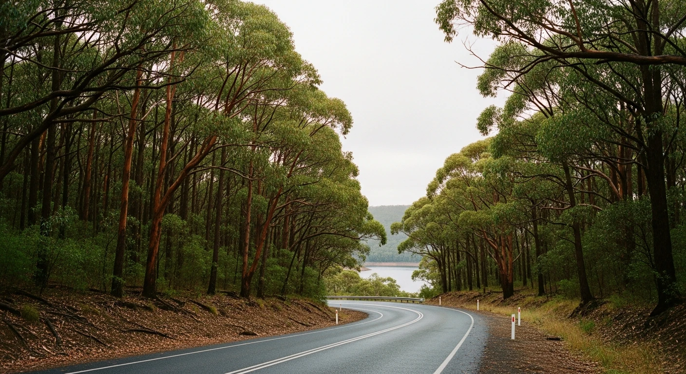
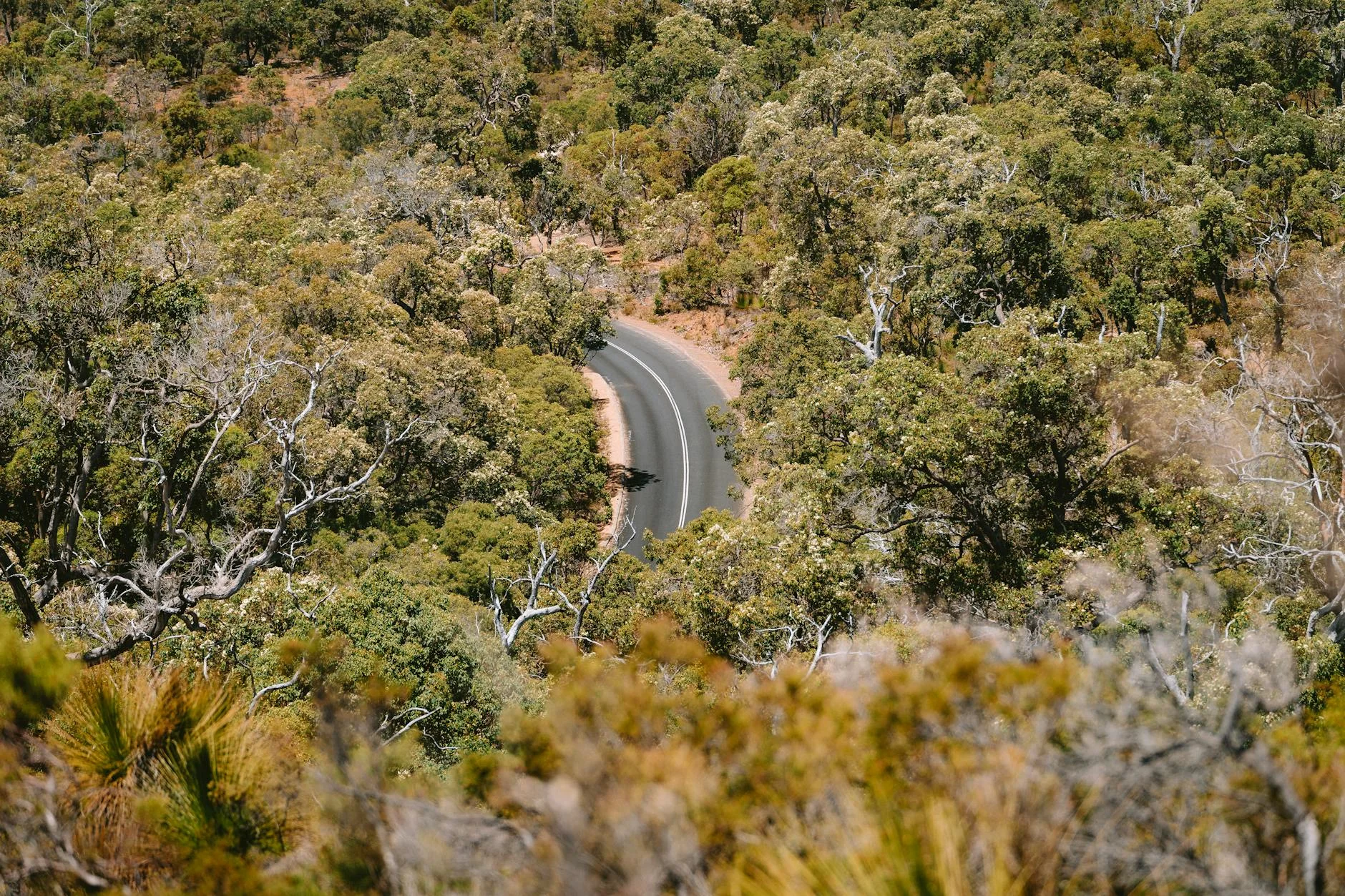
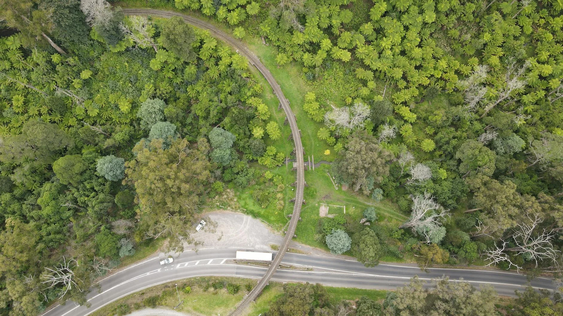
The Zig Zag is the signature road of the Perth Hills collection - a 2.76-kilometre one-way descent down the face of the Darling Scarp via a series of tight linked hairpins in Gooseberry Hill National Park. The 2024 Tarmac West rally ran this twice as a special stage at 2.76 km each pass. The road was originally built as a railway in the 1890s to haul timber down the escarpment. In 1952 the track was removed and the alignment converted to a narrow bitumen road. The gradient averages 1 in 38 with sections as steep as 1 in 27. There are four tight corners on the three-kilometre descent, with the road passing between rock faces, around hairpin turns and along the edge of steep drops. The view from the top of the Zig Zag back across the Swan Coastal Plain to the Indian Ocean on a clear day is the single best view accessible to a road car within an hour of Perth. The road is open daily from 11am to 8:30pm as a one-way shared space for cars, cyclists and pedestrians.
Why this road
The region
The Kalamunda Zig Zag sits in Gooseberry Hill National Park on the western face of the Darling Scarp. The original railway was built to transport timber from the Hills down to the coastal plain. The escarpment here is too steep for any other approach - which is why the zigzag alignment was necessary. The road is now managed by the City of Kalamunda as a scenic drive and shared path.
History
The Zig Zag was built as a railway in the 1890s to carry timber down the Darling Scarp. The gradient was too steep for a conventional alignment so the zigzag was engineered with tight switchbacks. The railway operated until 1952 when the line was removed and the formation converted to a narrow bitumen road.
Before you go
The Zig Zag is one-way downhill only, open 11am to 8:30pm daily. Access the top from Ridge Hill Road in Gooseberry Hill. No fuel or services on the road itself. Stopping only permitted in designated areas. Cars remaining after 8:30pm will be locked in overnight.
See a routing error?
Flag itWorth stopping for
Gooseberry Hill National Park
Jarrah forest and the original Zig Zag alignment, accessible on walking tracks from the road.
John Forrest National Park
Walking tracks through jarrah forest with the original railway formation accessible on foot.
Route
Start
Gooseberry Hill
End
Zig Zag Base
Gallery
More roads like this