Kalamunda
15 km
distance
20 min
Contour time
7.0
avg score
Sealed
surface
Scenery
Western Australia
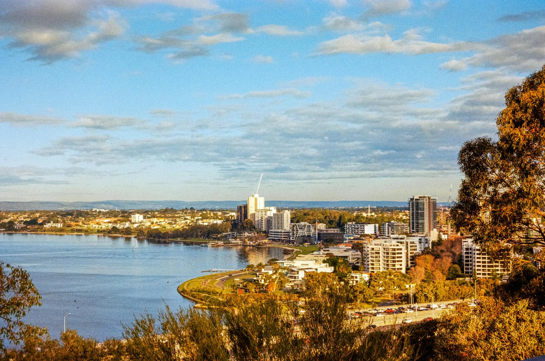
Kalamunda is a Hills suburb on the Darling Scarp escarpment above Perth - one of the closest forest environments to any...
Road quality
7.0 RQS
Every segment scored on 40+ data signals.
Accessibility
Fully sealed
Best in Sports car. Peak season: Year-round.
7-day forecast
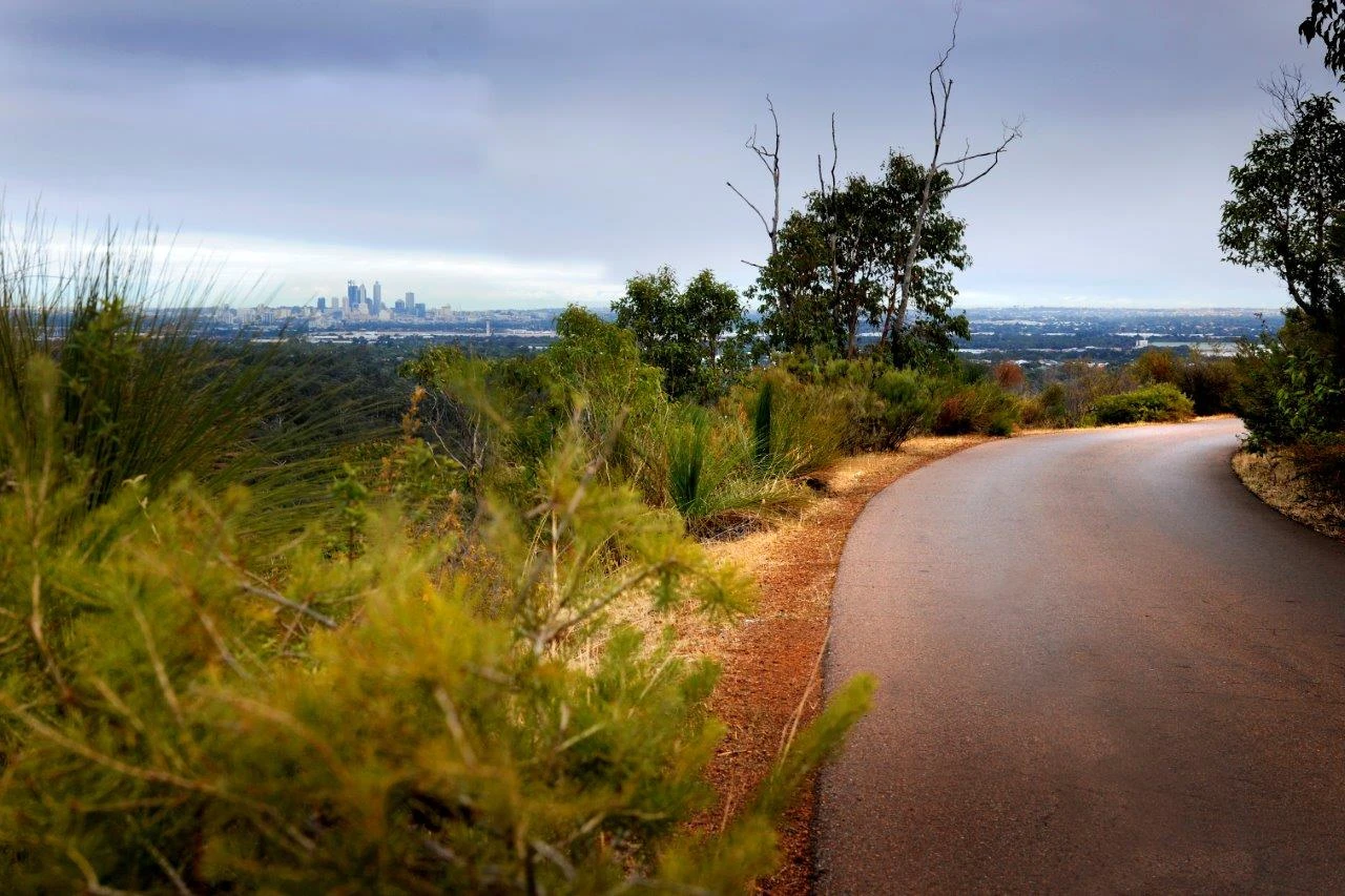
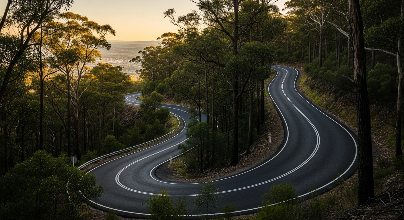
Good sports car and motorbike stage. The 2024 Tarmac West 'Kalamunda East' stage runs 14.66 km along Mundaring Weir Road and Croxton Road. On a clear day the view west across Perth to the Indian Ocean is visible from Kalamunda.
Scored 7.0/10 by Contour's road quality algorithm across curviness, surface, elevation and traffic. Best suited for sports car drivers.
The road
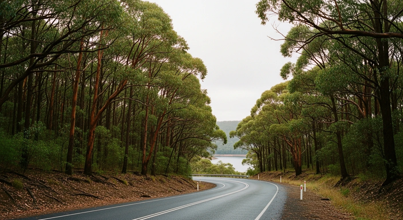
The Kalamunda stage opens the Perth Hills collection with 15 kilometres of sealed road running east from Kalamunda into the Darling Range along Mundaring Weir Road and Croxton Road. The 2024 Tarmac West rally ran this as 'Kalamunda East' at 14.66 km - one of the longest stages in the Perth event. Kalamunda sits on the escarpment edge above the Swan Coastal Plain. On a clear day the view west from town across Perth to the Indian Ocean is one of the best accessible to a road car within 30 minutes of the CBD. Heading east, the road drops into the range through jarrah and marri forest, the corners tightening and the forest closing in as the distance from town increases. Mundaring Weir Road is the backbone of the Perth Hills driving experience. The Darling Range Tourist Drive (Tourist Drive 207) follows this road between Kalamunda and Mundaring, making it one of the most accessible scenic drives in Perth. The rally stage uses the same alignment.
The Kalamunda stage opens the Perth Hills collection with 15 kilometres of sealed road running east from Kalamunda into the Darling Range along Mundaring Weir Road and Croxton Road.
Why this road
The region
Kalamunda is a Hills suburb on the Darling Scarp escarpment above Perth - one of the closest forest environments to any Australian capital CBD. The Darling Range is a long low escarpment separating the Swan Coastal Plain from the interior. Modest in height but significant in character, with jarrah and marri forest extending across its full extent. Mundaring Weir Road runs 24 km between Kalamunda and Mundaring.
Before you go
Fuel in Kalamunda. Good coffee and provisions before heading into the range. Open year-round. The Hills are popular on weekends - best driven early morning on weekdays. The Darling Range Tourist Drive follows this route.
See a routing error?
Flag itWorth stopping for
Kalamunda National Park
Walking tracks through jarrah forest accessible from Kalamunda township.
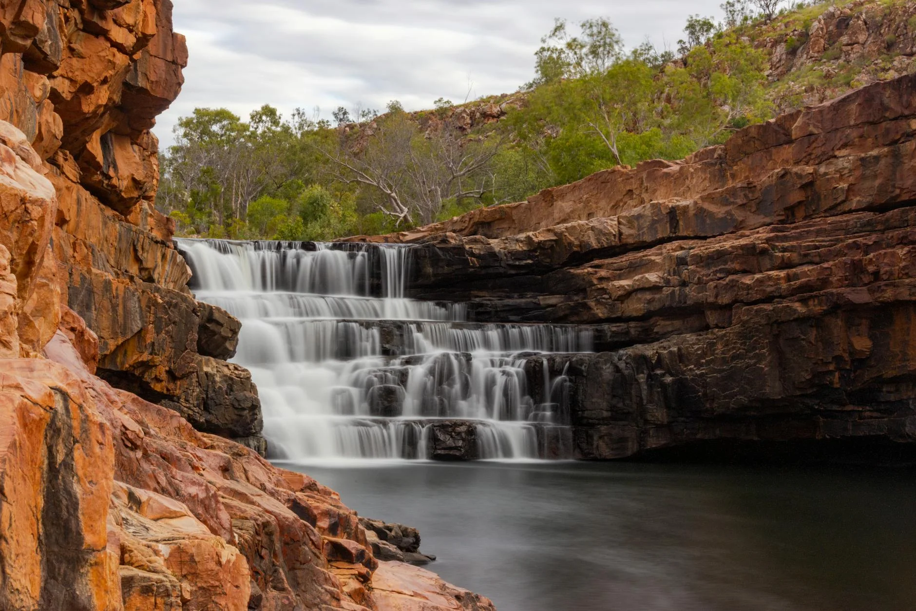
Lesmurdie Falls
50-metre waterfall in Mundy Regional Park, 10 minutes south of Kalamunda.
Route
Start
Kalamunda
End
Croxton Road
Gallery
More roads like this