Alpine Way West
52 km
distance
55 min
Contour time
7.3
avg score
Sealed
surface
Scenery
New South Wales
The Snowy Mountains Hydro-electric Scheme was built between 1949 and 1974 and involved over 100,000 workers from 30...
Road quality
7.3 RQS
Strong. Above average on most quality signals.
Accessibility
Fully sealed
Best in Motorbike & Rally. Peak season: Nov-Apr.
7-day forecast
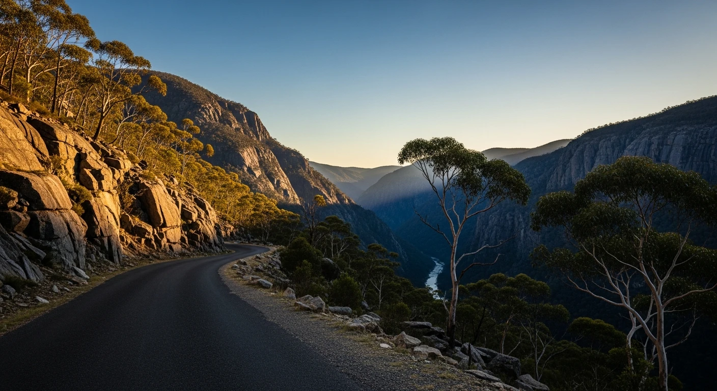
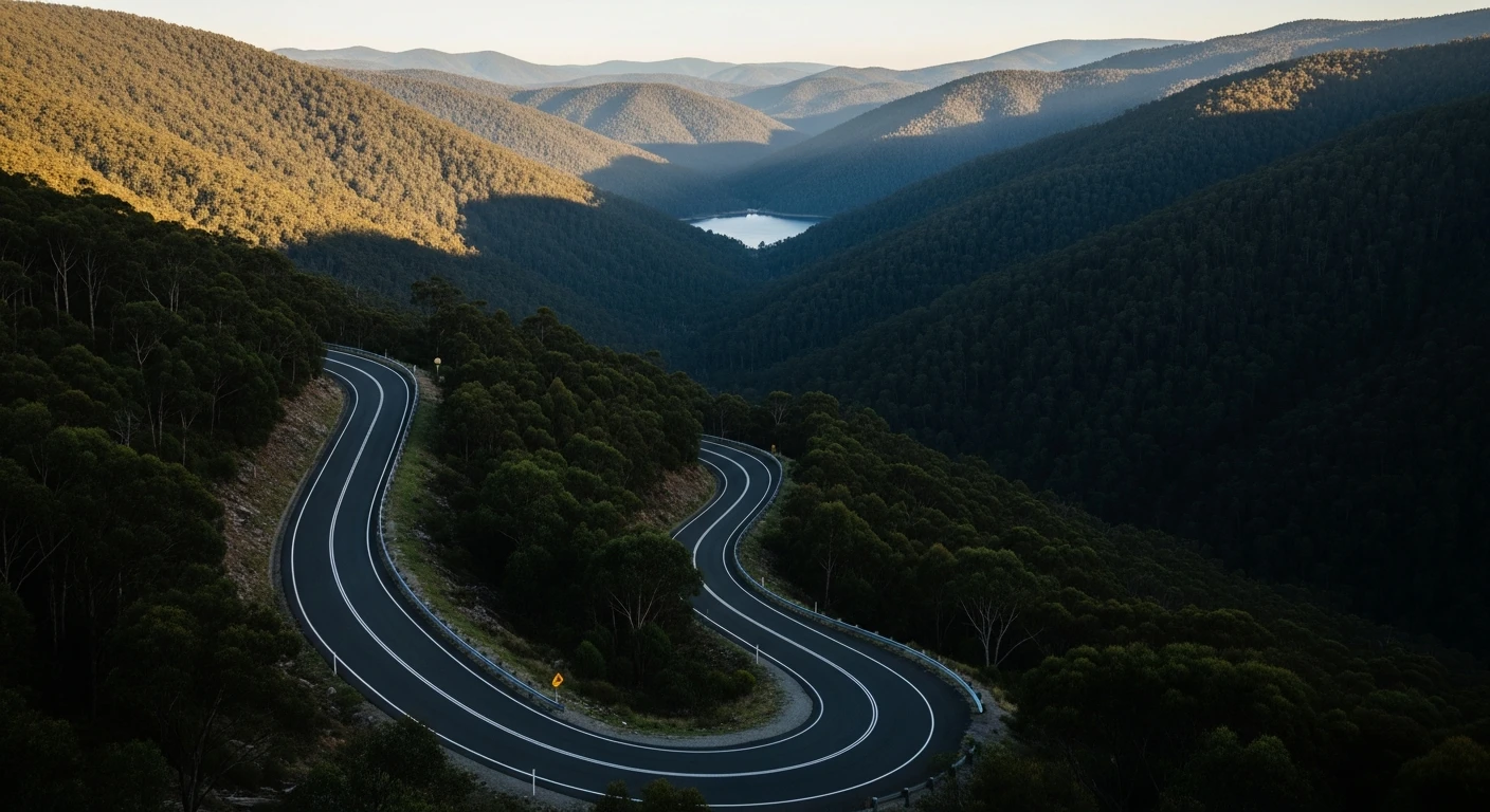
Good motorbike and sports car road with Snowy Scheme infrastructure visible throughout. The descent to Khancoban is long and satisfying.
Scored 7.3/10 by Contour's road quality algorithm across curviness, surface, elevation and traffic. Best suited for motorbike & rally drivers.
The road
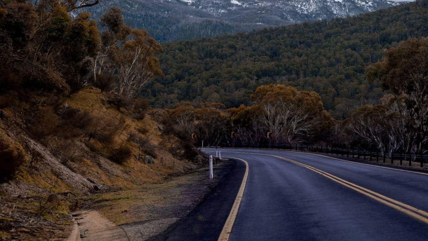
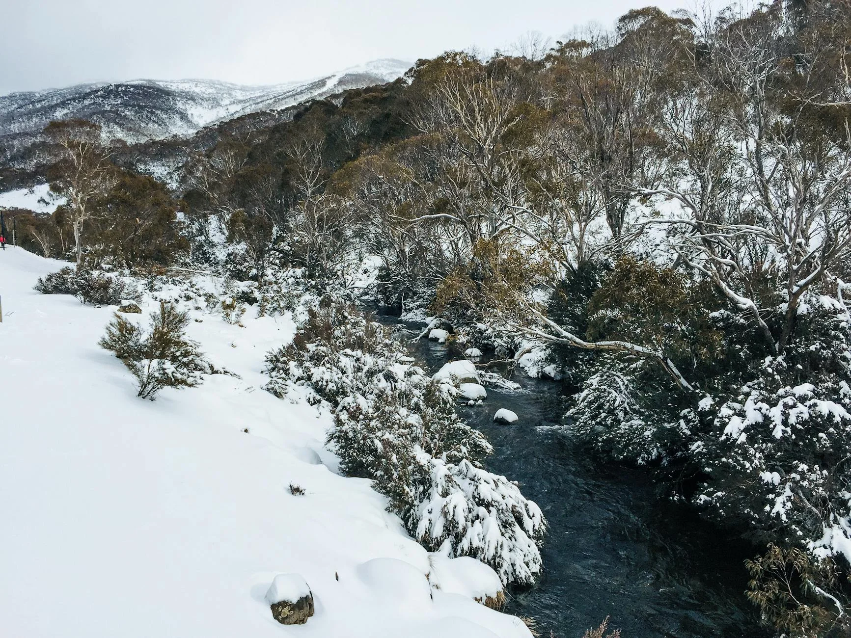
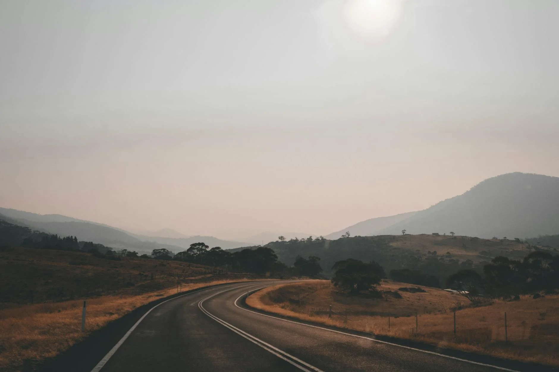
The western section of the Alpine Way drops from the Tom Groggin River crossing to the Snowy Mountains Scheme town of Khancoban at the base of the range. The 52-kilometre stage descends through river valley country with the Snowy Mountains Hydro tunnels and aqueducts visible at intervals - the infrastructure of the Snowy Scheme is everywhere in this country, pipes and channels appearing and disappearing in the bush. Khancoban is a purpose-built Hydro town with a pub, a general store and a spectacular view of the Pilots Range from the main street. The road is sealed throughout and the descent is consistent and satisfying.
The western section of the Alpine Way drops from the Tom Groggin River crossing to the Snowy Mountains Scheme town of Khancoban at the base of the range.
Why this road

The region
The Snowy Mountains Hydro-electric Scheme was built between 1949 and 1974 and involved over 100,000 workers from 30 countries. Khancoban was built in the 1950s as a base camp for the western works and retains its planned character. The town sits 13 kilometres from the Victorian border.
History
The Snowy Mountains Scheme is one of Australia's great post-war infrastructure projects. Over 100,000 workers - many of them European refugees and immigrants - built the tunnels, dams and power stations between 1949 and 1974.
Before you go
Fuel in Khancoban at the stage end. Tom Groggin has no services. Open November to April. Khancoban is the last fuel before the Murray Valley Highway.
See a routing error?
Flag itWorth stopping for
Khancoban pub
Social centre of the purpose-built Hydro town - worth a stop before the Murray Valley Highway.
Snowy 2.0 Visitor Centre, Talbingo
Expansion of the Snowy Scheme being built, with visitor information at Talbingo north of Khancoban.
Route
Start
Tom Groggin
End
Khancoban
Gallery
More roads like this