Alpine Way East
23 km
distance
30 min
Contour time
8.1
avg score
Sealed
surface
Scenery
New South Wales
The Alpine Way traverses the southern section of Kosciuszko National Park from Thredbo to Khancoban. The park is the...
Road quality
8.1 RQS
Strong. Above average on most quality signals.
Accessibility
Fully sealed
Best in Motorbike & Rally. Peak season: Nov-Apr.
7-day forecast
Exceptional motorbike road through remote national park. Sports car equally good. The route passes through Dead Horse Gap en route to Tom Groggin.
Scored 8.1/10 by Contour's road quality algorithm across curviness, surface, elevation and traffic. Best suited for motorbike & rally drivers.
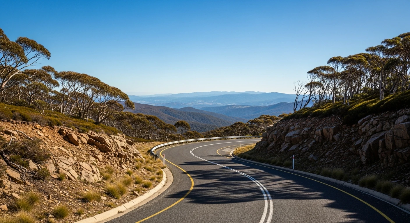
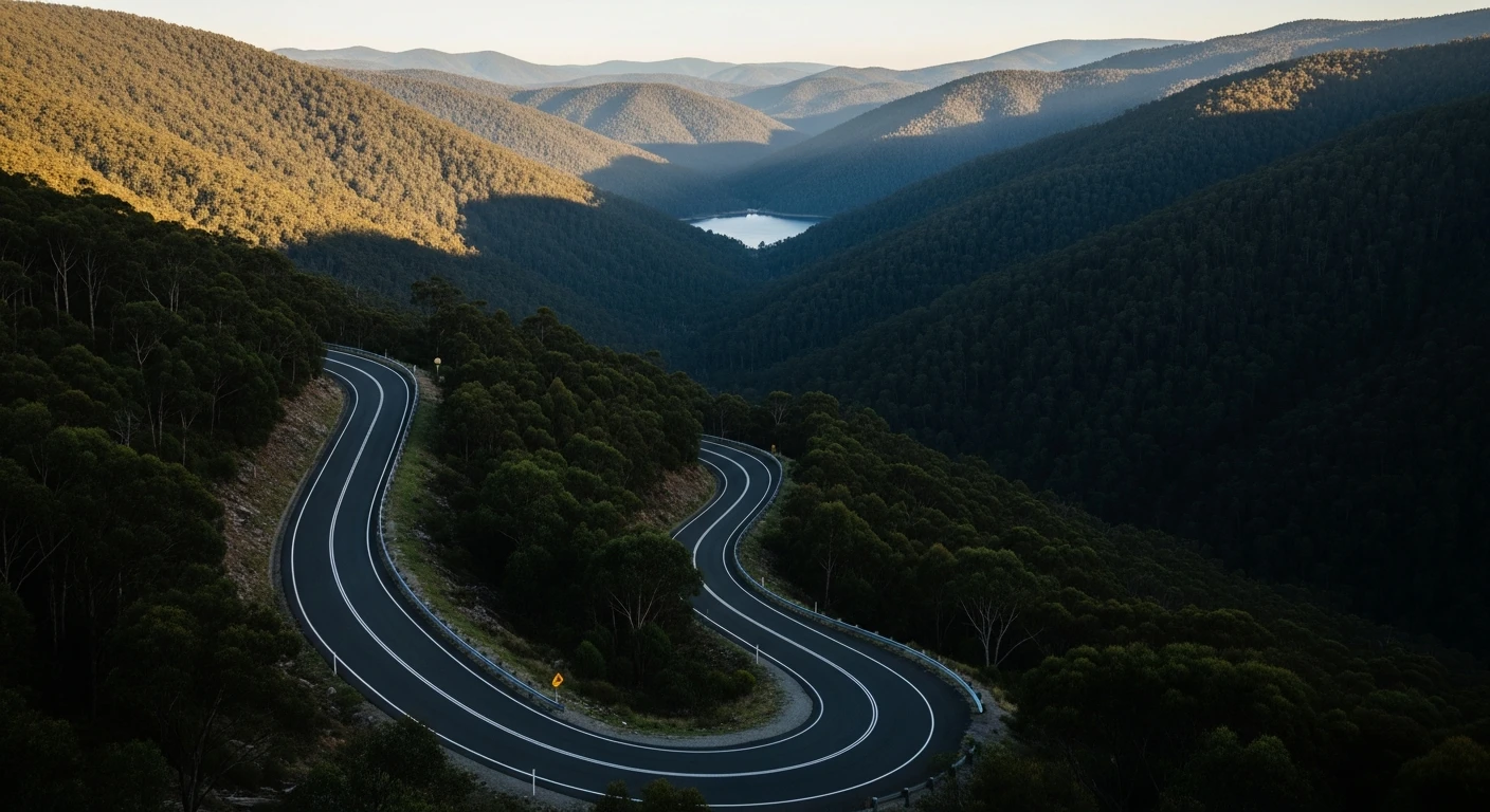
The road
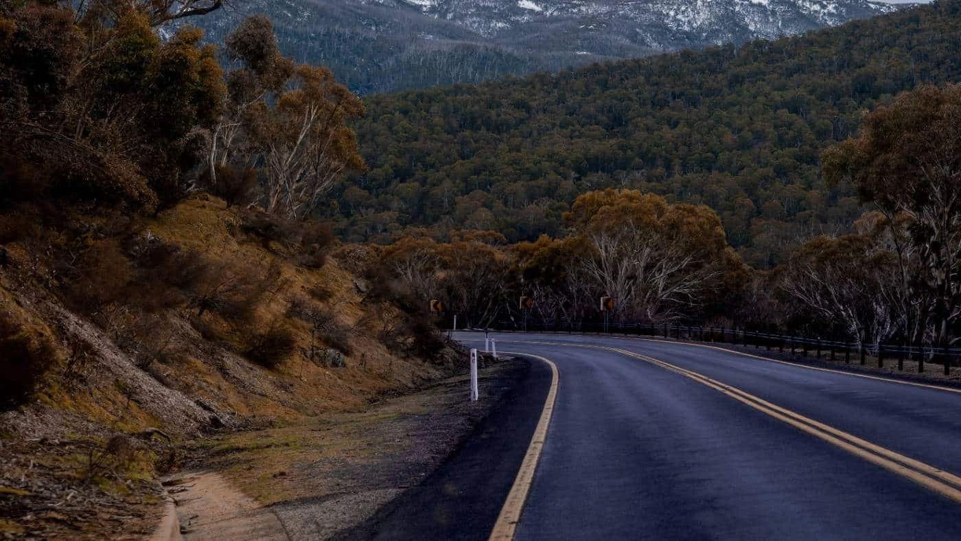
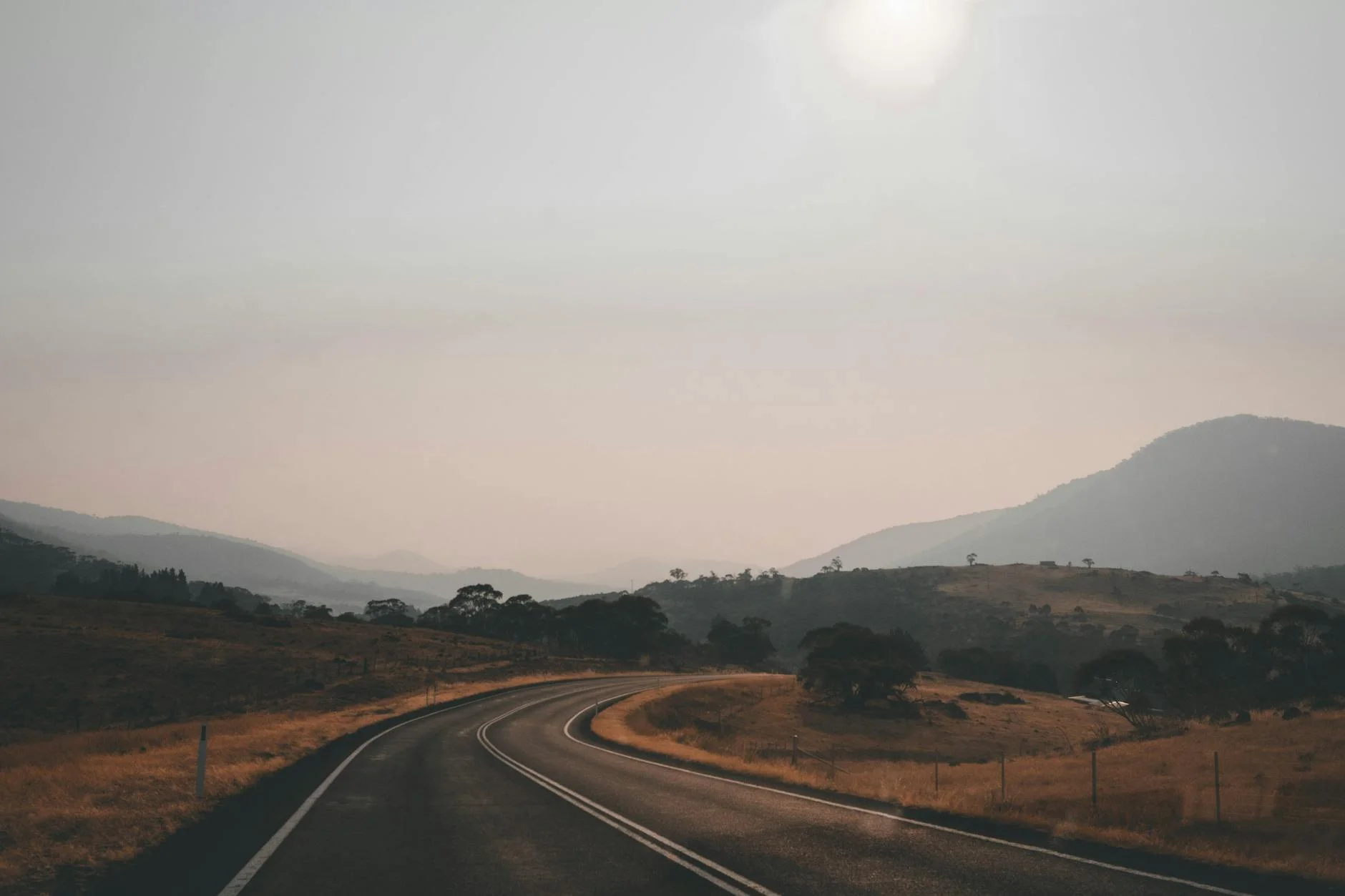
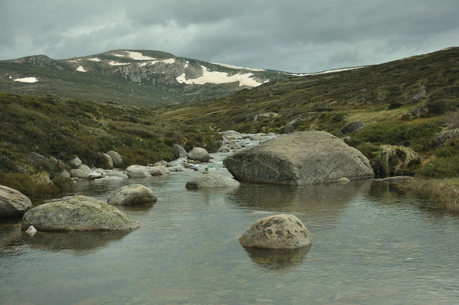
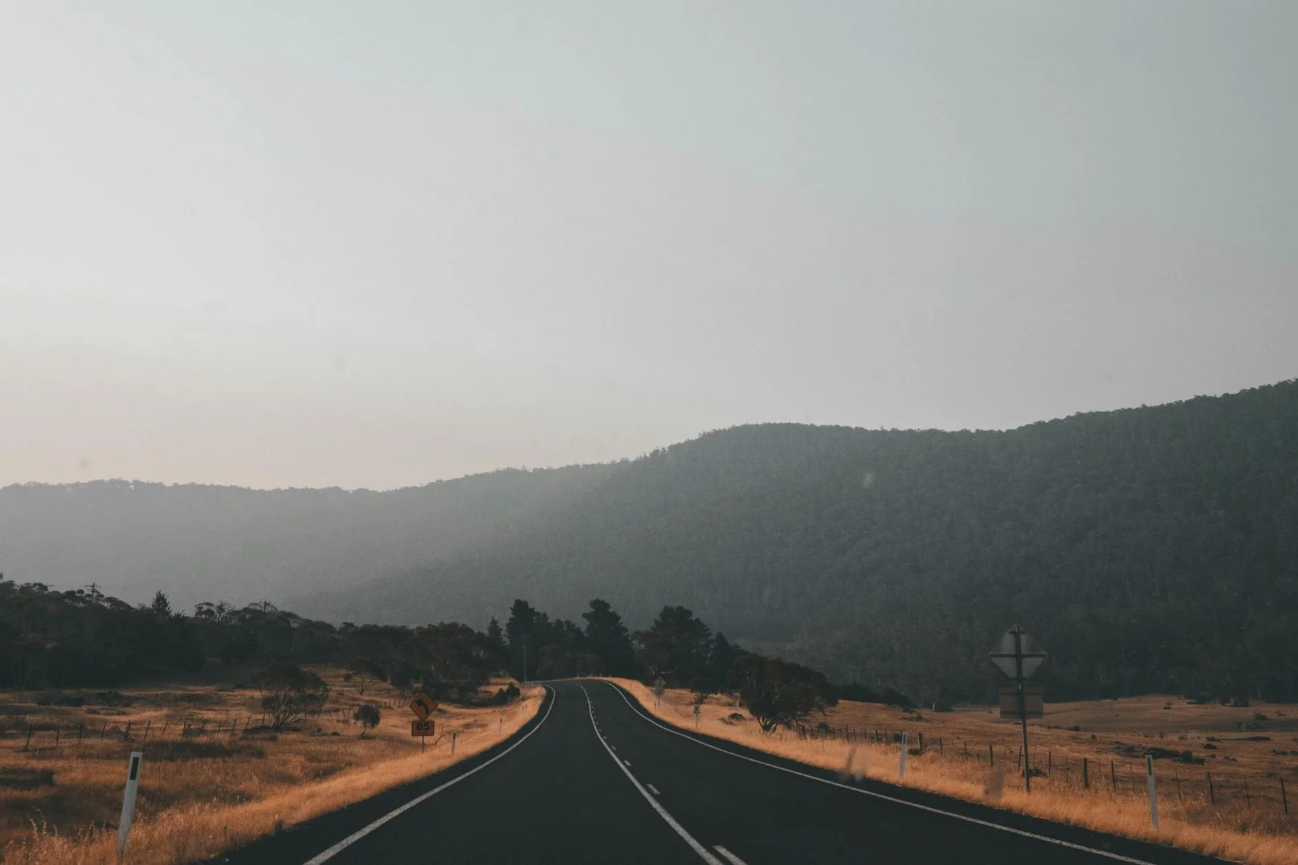
The eastern section of the Alpine Way runs 23 kilometres from Thredbo west through the Kosciuszko National Park to Tom Groggin at the Murray River crossing. The route climbs through Dead Horse Gap at 1,580 metres before descending through snowgum woodland and sub-alpine terrain to the river. The Alpine Way is sealed throughout and carries light traffic outside school holidays. The western section past Dead Horse Gap is genuinely remote and the road quality drops slightly from the Thredbo end, but remains good. The Murray River appears at Tom Groggin as a fast-flowing mountain stream, not the broad lowland river of its reputation.
The eastern section of the Alpine Way runs 23 kilometres from Thredbo west through the Kosciuszko National Park to Tom Groggin at the Murray River crossing.
Why this road
The region
The Alpine Way traverses the southern section of Kosciuszko National Park from Thredbo to Khancoban. The park is the largest alpine area in Australia and contains the headwaters of several major river systems. This section passes through snowgum woodland, sub-alpine heath and the Pilot Wilderness area.
Before you go
Fuel in Thredbo before departure. No services between Thredbo and Tom Groggin. Mobile coverage absent for most of the stage. Open November to April. Two-wheel drive vehicles must carry chains between Thredbo and Tom Groggin during winter. Tom Groggin has a basic camping area.
See a routing error?
Flag itWorth stopping for
Tom Groggin camping area
Basic national park campsite at the Murray River crossing - a good overnight stop within the park.
Dead Horse Gap
The short side trip up to the gap from the Alpine Way is always worth taking on the way west.
Route
Start
Thredbo Village
End
Tom Groggin
Gallery
More roads like this