Mount Hotham
55 km
distance
1h
Contour time
7.5
avg score
Sealed
surface
1750m
max elevation
+1400m
total climb
Scenery
1750m elevation
Harrietville is the gateway village to the Hotham climb - a small settlement in a narrow valley at 620 metres with a...
Road quality
7.5 RQS
Strong. Above average on most quality signals.
Accessibility
Fully sealed
Best in Sports car. Peak season: Summer-Autumn.
7-day forecast
Proper switchbacks from Bright to the alpine plateau. Short route but the climbing and descending are worth every minute.
Scored 7.5/10 by Contour's road quality algorithm across curviness, surface, elevation and traffic. Best suited for sports car drivers.
The road
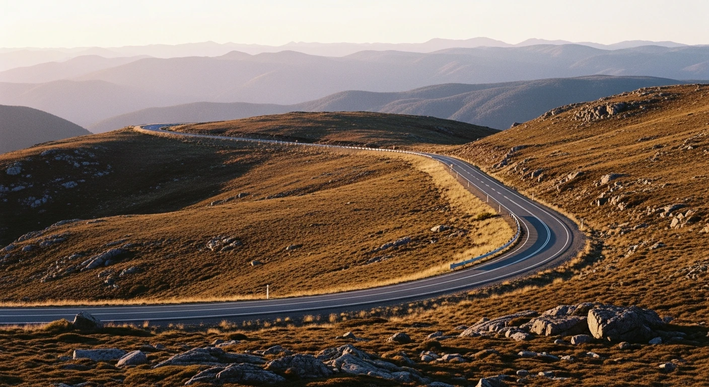
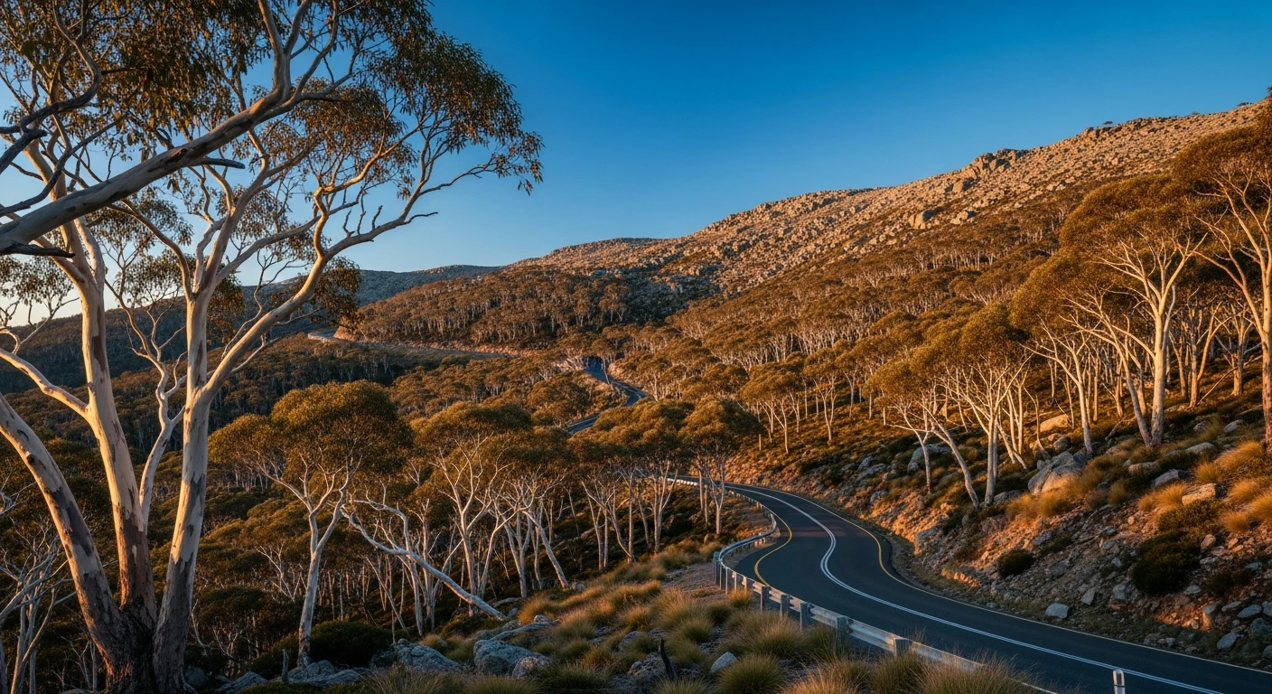
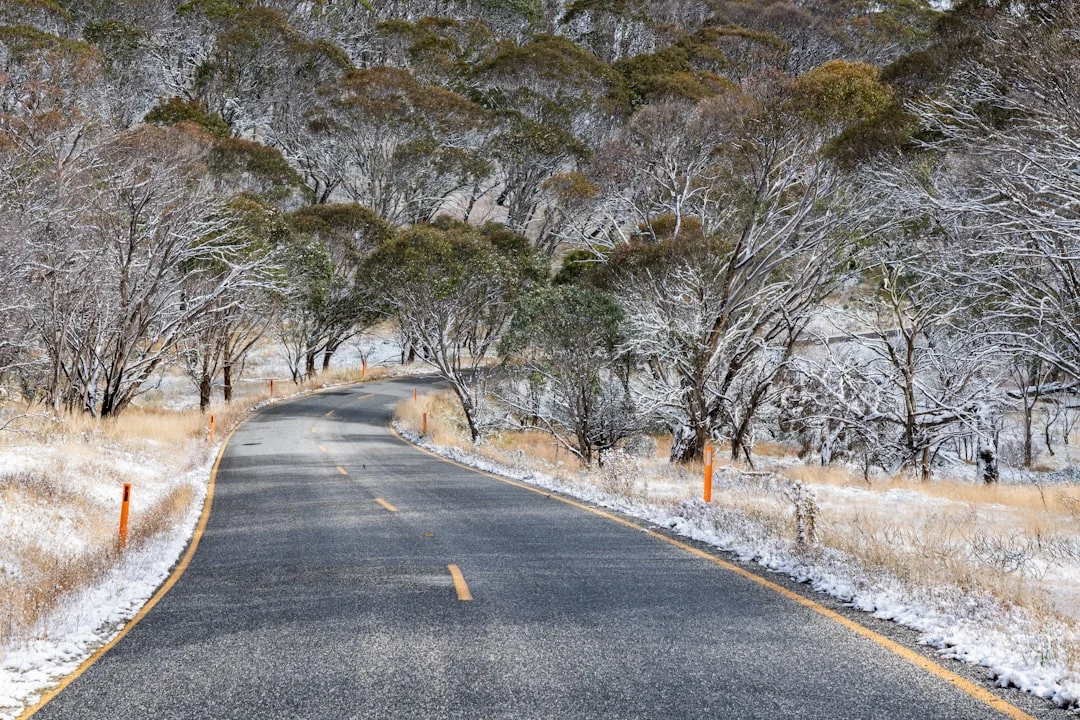
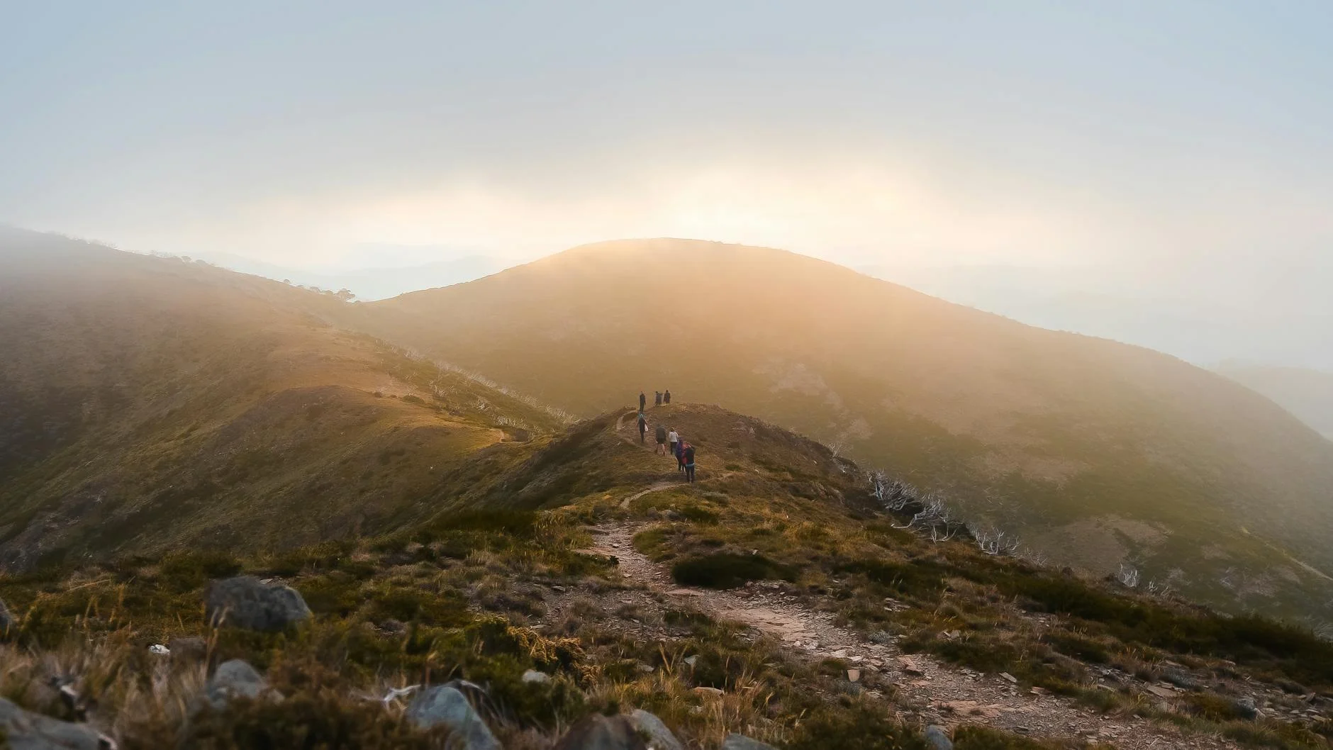
The Mount Hotham route covers 55 kilometres from Bright to the summit, and it earns its reputation in the first 10 kilometres of the climb. From Bright the road follows the Ovens River to Harrietville, then begins one of the longest sustained climbs on any sealed road in Australia - 1,400 metres of elevation gain in under 30 kilometres of switchbacks, open bends and exposed ridgeline sections. The Harrietville to Hotham section is the payoff. The road starts with tight switchbacks through mountain ash, transitions to open snowgum woodland, then breaks out onto the alpine plateau with 360-degree views of the Victorian Alps. The surface is excellent for most of its length but the exposed plateau sections carry gravel wash after weather events - scan ahead. The descent back to Bright is the part most people underestimate. Brake fade is real on a long descent in a heavy car, and the road narrows at the bottom where it meets the valley floor. This is a road that rewards complete focus from top to bottom.
The Mount Hotham route covers 55 kilometres from Bright to the summit, and it earns its reputation in the first 10 kilometres of the climb.
Why this road
The region
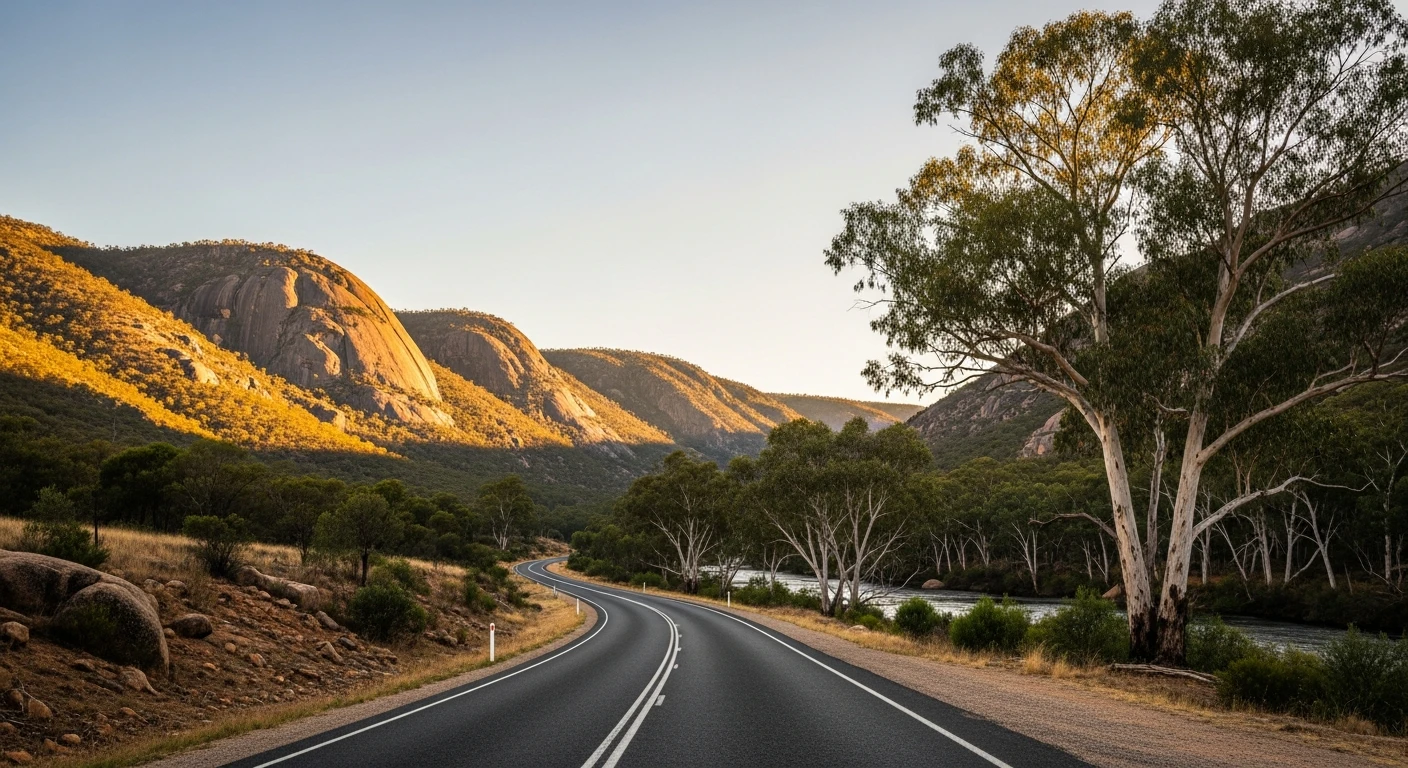
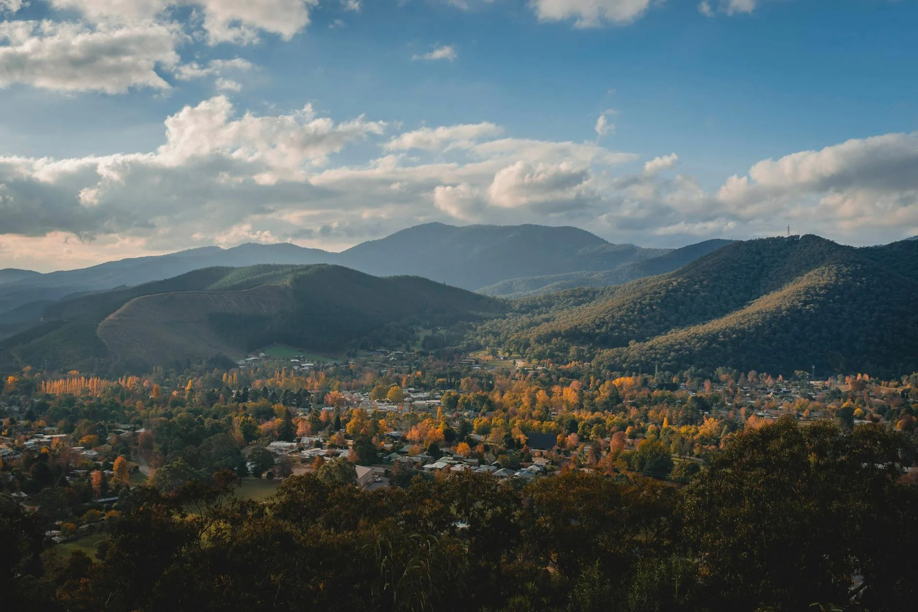
Harrietville is the gateway village to the Hotham climb - a small settlement in a narrow valley at 620 metres with a pub, a general store and a ski hire shop that doubles as a cafe. Above Harrietville the valley walls close in and the road becomes the only thing between you and the mountain. Mount Hotham village at the summit is a ski resort for six months of the year and a hiking and mountain biking destination for the other six. In summer the cleared ski runs give unusual views of the surrounding ranges.
Before you go
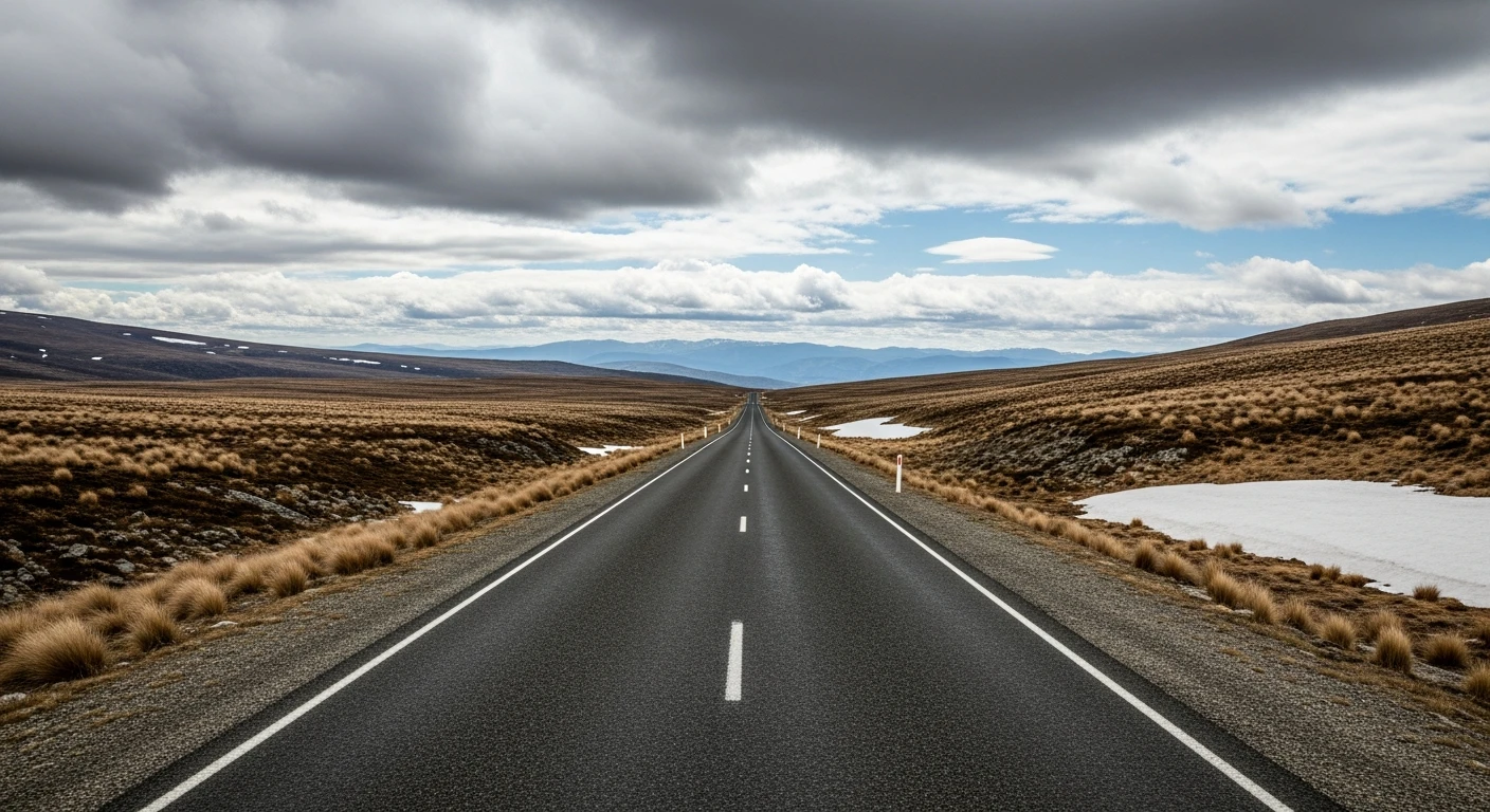
Last fuel is Harrietville - fill up before the climb, there is no fuel on the mountain outside of ski season. The road to Hotham closes when snow is expected, usually June to September. An alpine resort entry fee applies to all vehicles entering the Hotham resort area in winter. In summer the toll does not apply. The road can be icy early morning in autumn even when snow-free - check conditions. Allow extra time for the descent.
See a routing error?
Flag itWorth stopping for
Harrietville Hotel
A valley pub at the base of the climb with good food and cold beer - a legitimate reason to stop before or after the mountain.
Dinner Plain
A small heritage village 10km east of Hotham with the only architecture in Australia required by planning law to be built from corrugated iron and bush timber.
Route
Start
Bright
End
Mount Hotham
Gallery
More roads like this