Eildon to Jamieson
67 km
distance
1h 15m
Contour time
5.4
avg score
Sealed
surface
Scenery
Victoria
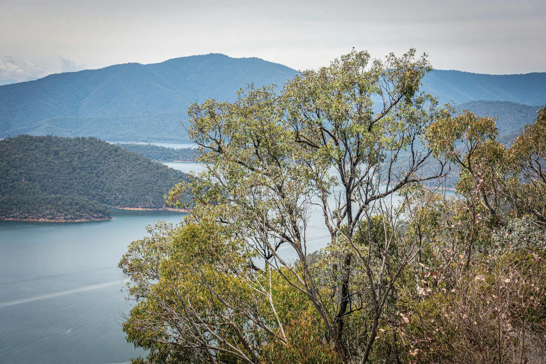
Lake Eildon is a large reservoir at the edge of the High Country, formed by the Eildon Dam on the Goulburn River. It is...
Road quality
5.4 RQS
Every segment scored on 40+ data signals.
Accessibility
Fully sealed
Best in Sports car. Peak season: Spring-Autumn.
7-day forecast
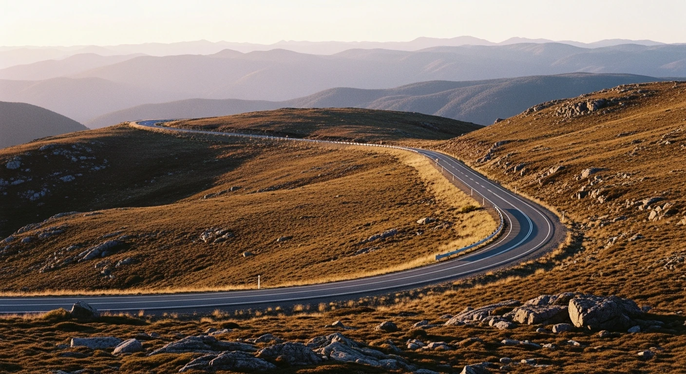
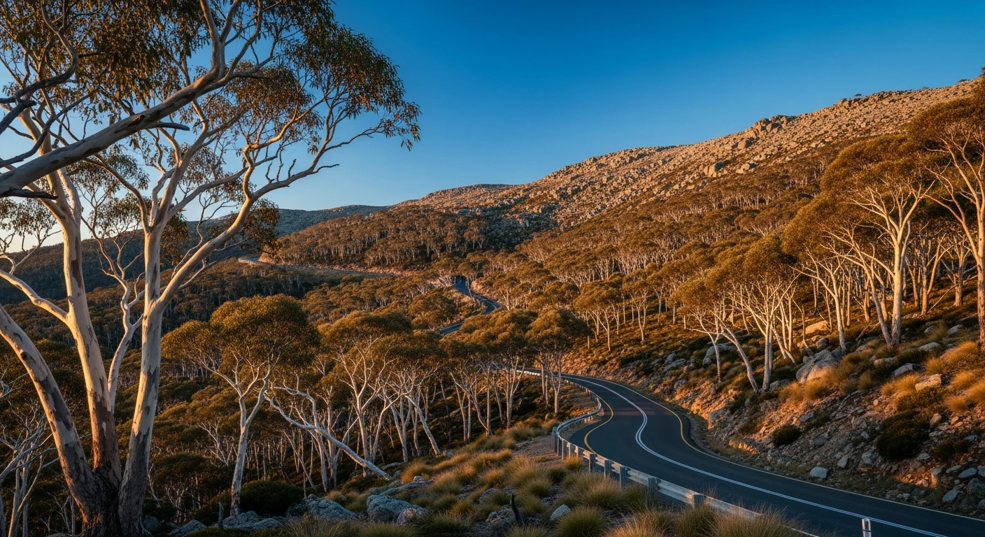
Granite country with river crossings and classic High Country character. Better roads than the main tourist routes in the area.
Scored 5.4/10 by Contour's road quality algorithm across curviness, surface, elevation and traffic. Best suited for sports car drivers.
The road
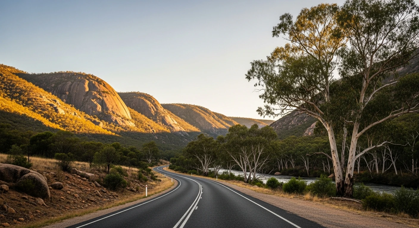
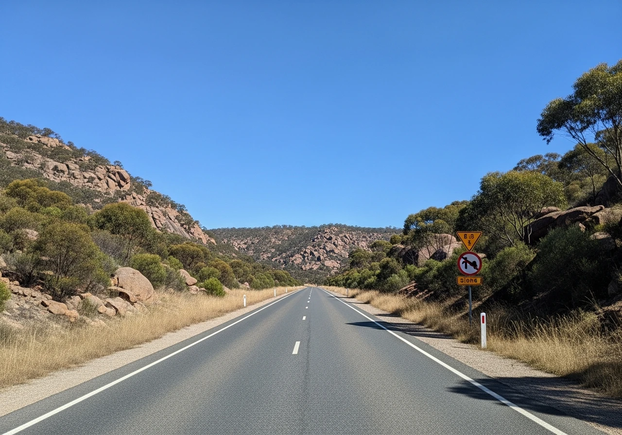
The road from Eildon to Jamieson is the High Country equivalent of a back road that rewards those who bothered to look at the map properly. The 60-kilometre sealed run follows the Big River valley between two small towns that most visitors treat as through-routes to somewhere else, missing the road between them entirely. The Big River valley is granite country - rounded boulders, clear pools and the kind of scrubby bush that looks unremarkable until the light hits it right. The road is narrow and follows the river contours rather than cutting through the landscape, which produces a series of naturally flowing corners. There are no marked lookouts or tourist infrastructure - just the road, the river and the granite hills. The surface is well-maintained and the traffic is light enough that you can set your own pace. Both Eildon and Jamieson have good pubs and the combination of sealed mountain road, river scenery and cold beer at the end makes this a day-trip formula worth repeating.
The road from Eildon to Jamieson is the High Country equivalent of a back road that rewards those who bothered to look at the map properly.
Why this road
The region
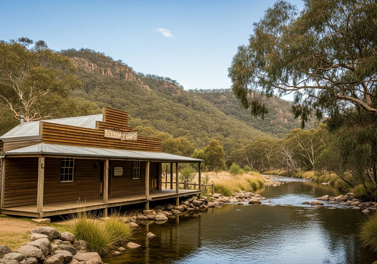
Lake Eildon is a large reservoir at the edge of the High Country, formed by the Eildon Dam on the Goulburn River. It is a water sports and fishing destination for Melbourne families but its main road, the Maroondah Highway, is fast and functional rather than interesting. Jamieson is a small town at the junction of the Jamieson and Goulburn rivers, known for fly fishing and as a base for 4WD tracks into the surrounding hills. The Big River between them is a tributary of the Goulburn and is designated as a protected river corridor.
Before you go
Fuel at Eildon and Jamieson. The road is open year-round and fully sealed. Spring flows can bring the river to road level at the crossings but these are bridge crossings rather than fords. Very light traffic. Good phone coverage in the valley sections, limited on the ridgelines.
See a routing error?
Flag itWorth stopping for
Lake Eildon
A large reservoir with good fishing for trout and redfin - the lake foreshore at Eildon town is worth a walk before setting off on the road.
Howqua Hills Track
A 4WD track connecting Jamieson to Mansfield through the Howqua River valley - add it to the same trip for an off-road contrast.
Route
Start
Eildon
End
Jamieson
Gallery
More roads like this