Howqua Hills Track
109 km
distance
3h 30m
Contour time
8.2
avg score
Unsealed
surface
Scenery
Victoria
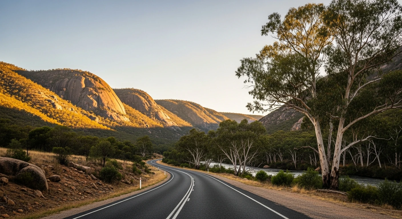
Mansfield is the main gateway town for the Victoria's High Country tourism corridor - ski access to Mount Buller in...
Road quality
8.2 RQS
Strong. Above average on most quality signals.
Accessibility
Fully sealed
Best in 4WD. Peak season: Autumn-Spring.
7-day forecast
Remote High Country track through the Howqua River valley. Easy to moderate difficulty. Best combined with a longer loop through the area.
Scored 8.2/10 by Contour's road quality algorithm across curviness, surface, elevation and traffic. Best suited for 4wd drivers.
The road
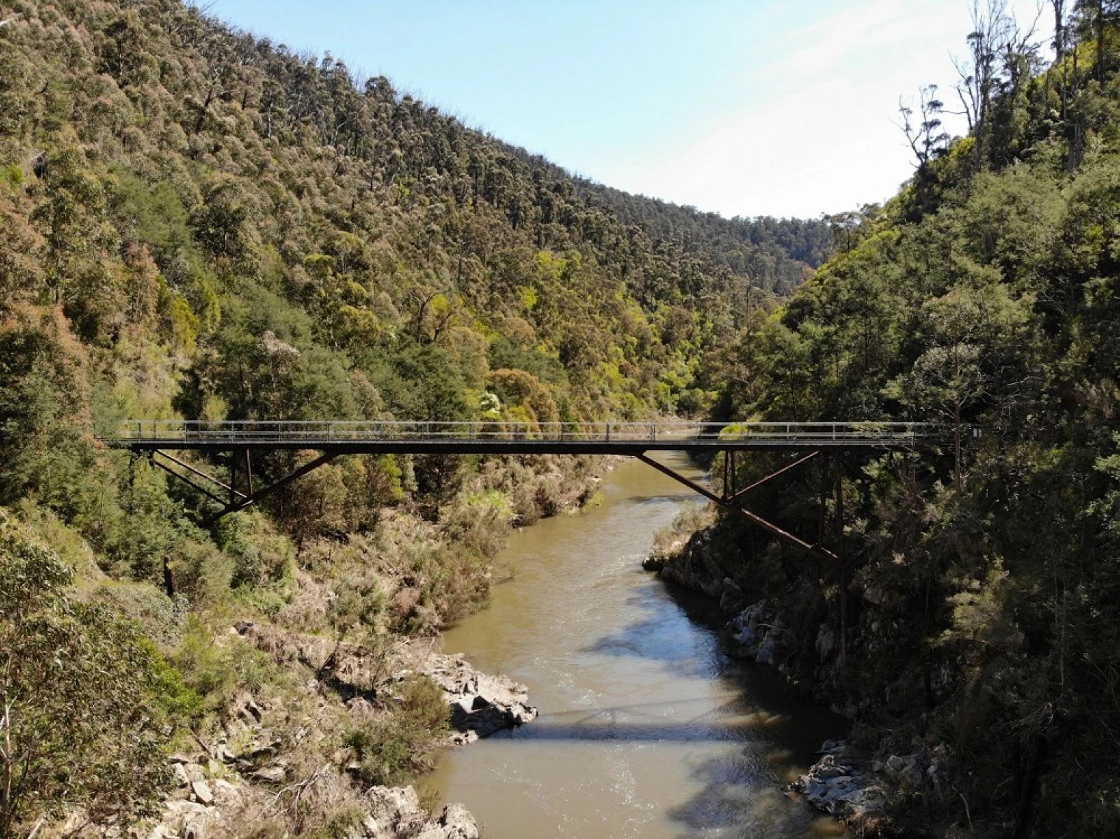
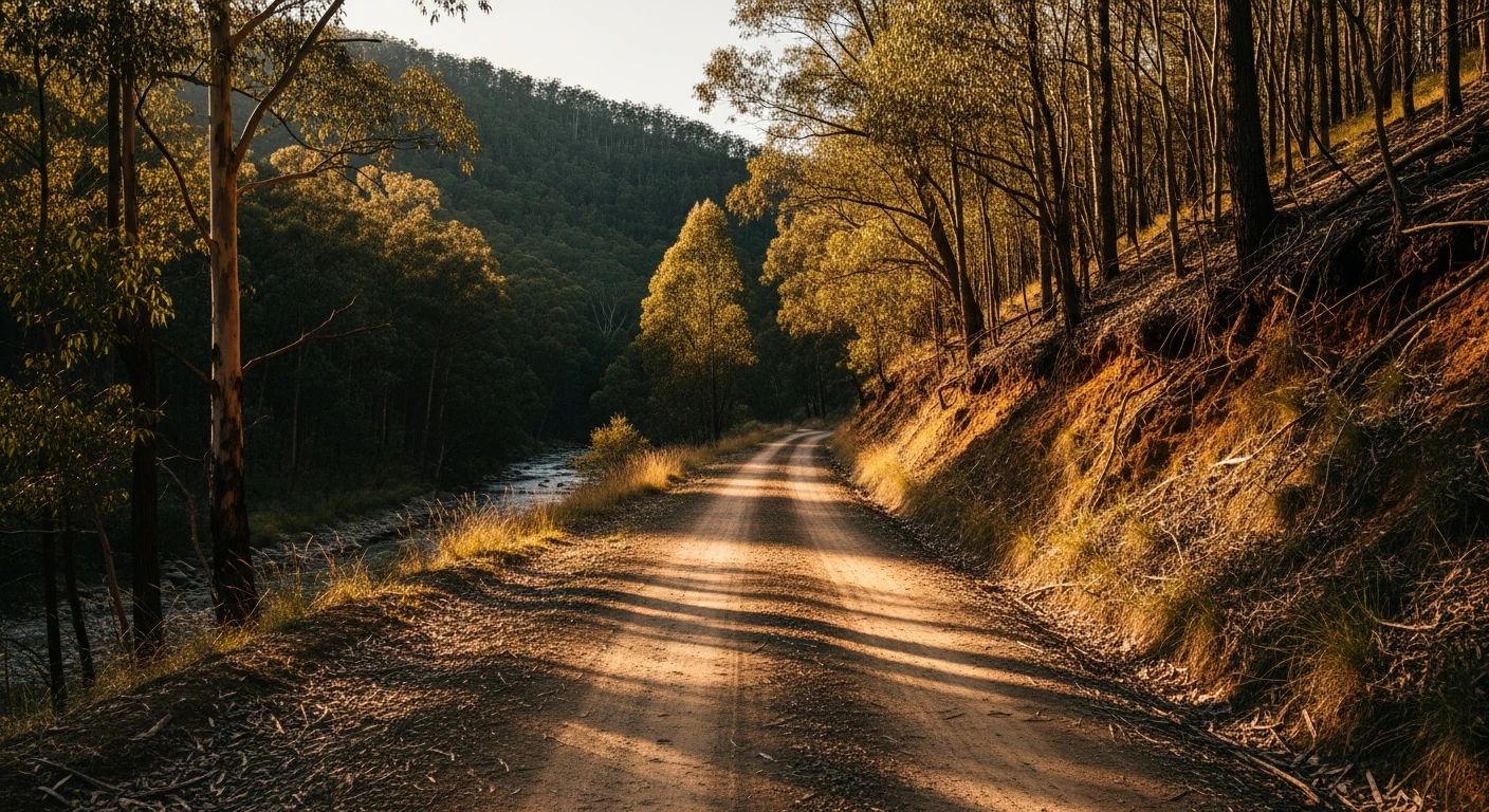
The Howqua Hills Track is a 109-kilometre unsealed route linking Mansfield to Jamieson through the Howqua River valley in Victoria's High Country. The Howqua River is one of the best trout fishing streams in the state and the valley it occupies is surprisingly broad and open for the Victorian Alps, with granite ridges visible above the river flats and mountain ash closing in on the upper slopes. The track crosses the river at several points and requires a stock 4WD with reasonable clearance. The terrain is easy to moderate - nowhere is it genuinely technical - but it is long enough that a breakdown would be inconvenient. The real value of this track is the scenery and the lack of traffic. Mansfield and Jamieson are both good towns but the Howqua valley between them is what most visitors miss. The track is used by fly fishermen, campers and the occasional motorbike rider. Very few day-trippers attempt it because it looks obscure on the map, which is exactly why it is worth seeking out.
The Howqua Hills Track is a 109-kilometre unsealed route linking Mansfield to Jamieson through the Howqua River valley in Victoria's High Country.
Why this road

The region
Mansfield is the main gateway town for the Victoria's High Country tourism corridor - ski access to Mount Buller in winter and mountain biking, horse trekking and hiking in summer. It has good accommodation, good cafes and a strong equestrian culture that spills over into the town character. Jamieson is smaller and quieter, sitting at the junction of the Jamieson and Goulburn rivers with a pub, a caravan park and a bakery. The Howqua River between them was the site of significant gold mining activity in the 1860s and remnant races and diggings are visible along the track.

History
The Howqua Valley was the site of the 1860s Jamieson goldfield, one of Victoria's later alluvial gold discoveries. Prospectors followed the river upstream from Jamieson and several small rush-era settlements existed along the valley before the gold ran out. Stone remnants of some of these camps are still visible from the track.
Before you go
Fuel in Mansfield. The track can become very difficult after significant rain as the Howqua River crossings rise. Check conditions before going - the Mansfield visitor centre can advise. Allow 2-3 hours end to end. Recovery gear recommended. Phone coverage is very limited after the first few kilometres. The track is not recommended for large trailers or caravans.
See a routing error?
Flag itWorth stopping for
Mansfield Hotel
The main pub in Mansfield, built in 1864, with good food and a beer garden popular with cyclists, hikers and horse riders who come through town.
Lake Eildon
A large reservoir 20 minutes west of Mansfield, worth a detour for the water views and the sealed road around the lake's north arm.
Route
Start
Mansfield
End
Jamieson
Gallery

More roads like this