Marysville to Woods Point Road
28 km
distance
22 min
Contour time
9.5
avg score
Sealed
surface
Scenery
Victoria
Marysville sits at the confluence of several Yarra Ranges river valleys, 100 km northeast of Melbourne. The town was...
Road quality
9.5 RQS
Exceptional. Consistently high curviness, surface, and low traffic.
Accessibility
Fully sealed
Best in Sports car. Peak season: Year-round.
7-day forecast
Outstanding asphalt through the Yarra Ranges with constant tight corners and minimal straight sections. Sports car or motorbike are the natural fit. The surface is well-maintained and open year-round. Pair with Black Spur for a full day in the Ranges.
Scored 9.5/10 by Contour's road quality algorithm across curviness, surface, elevation and traffic. Best suited for sports car drivers.
The road
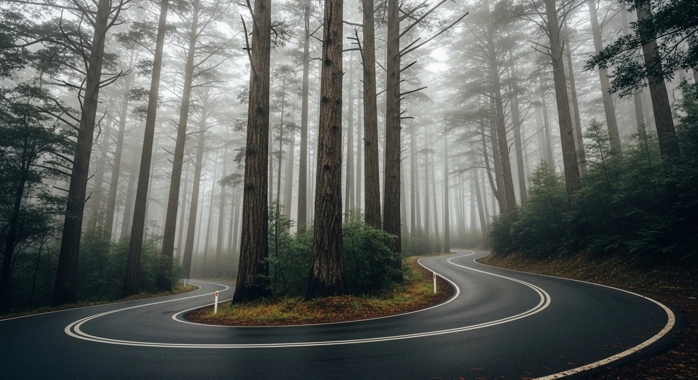
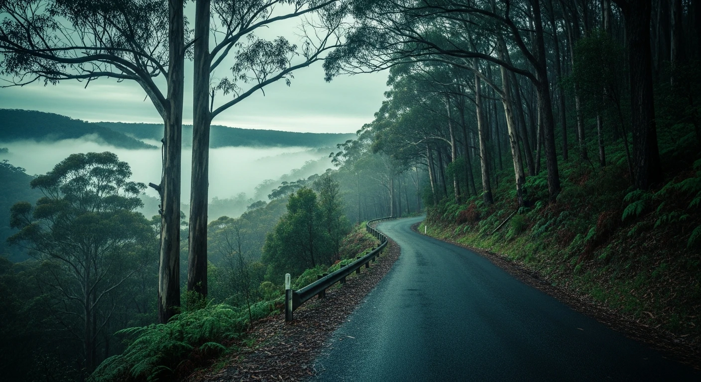
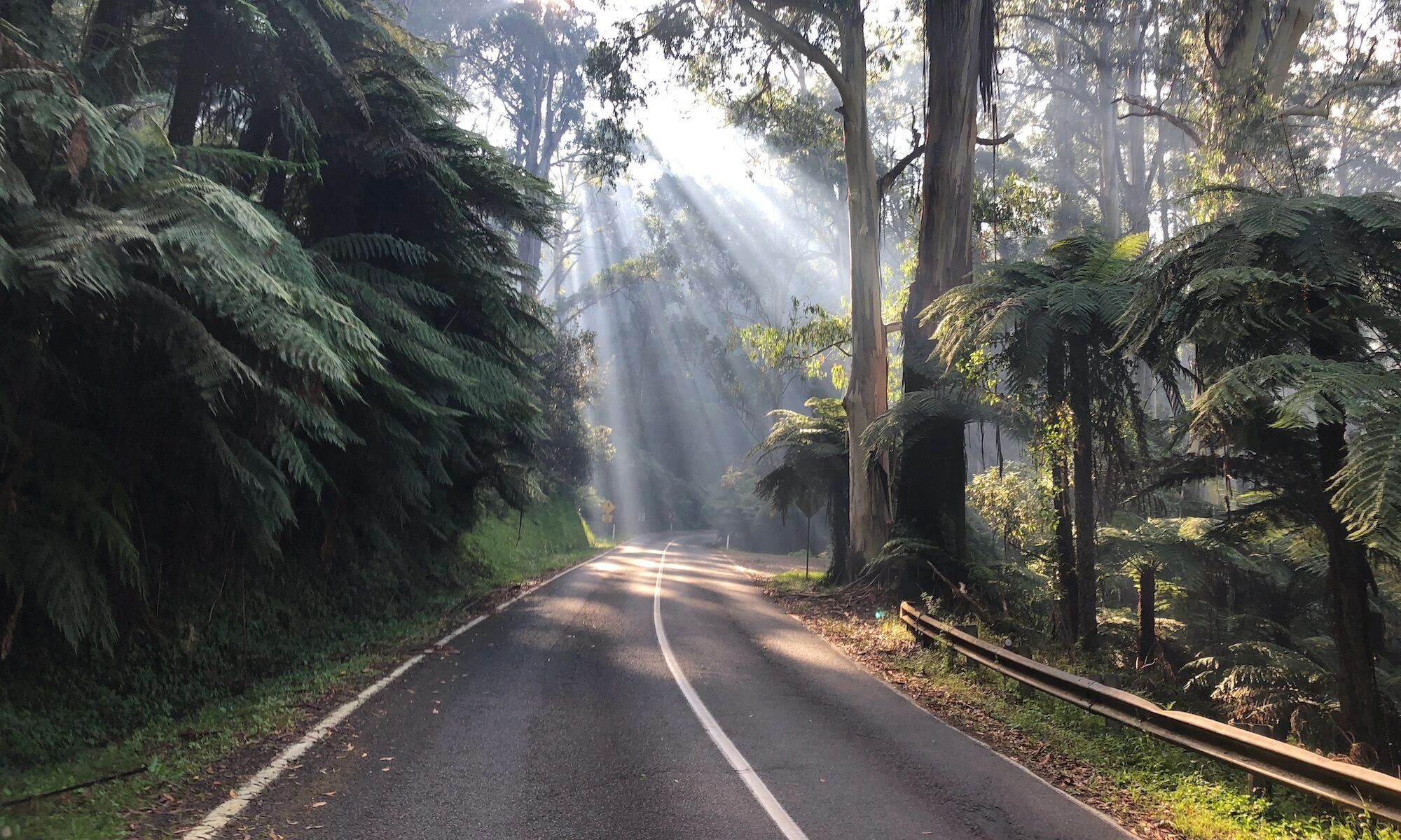
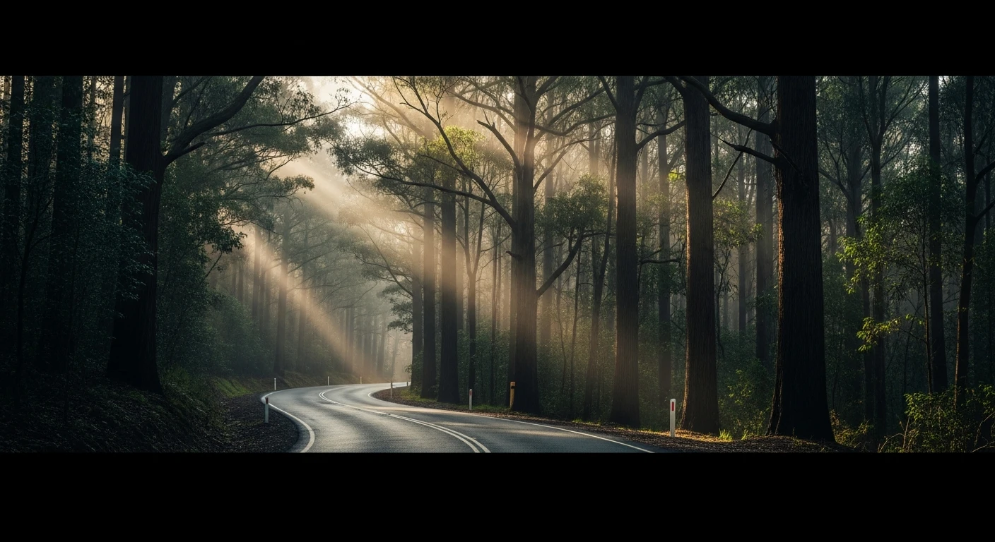
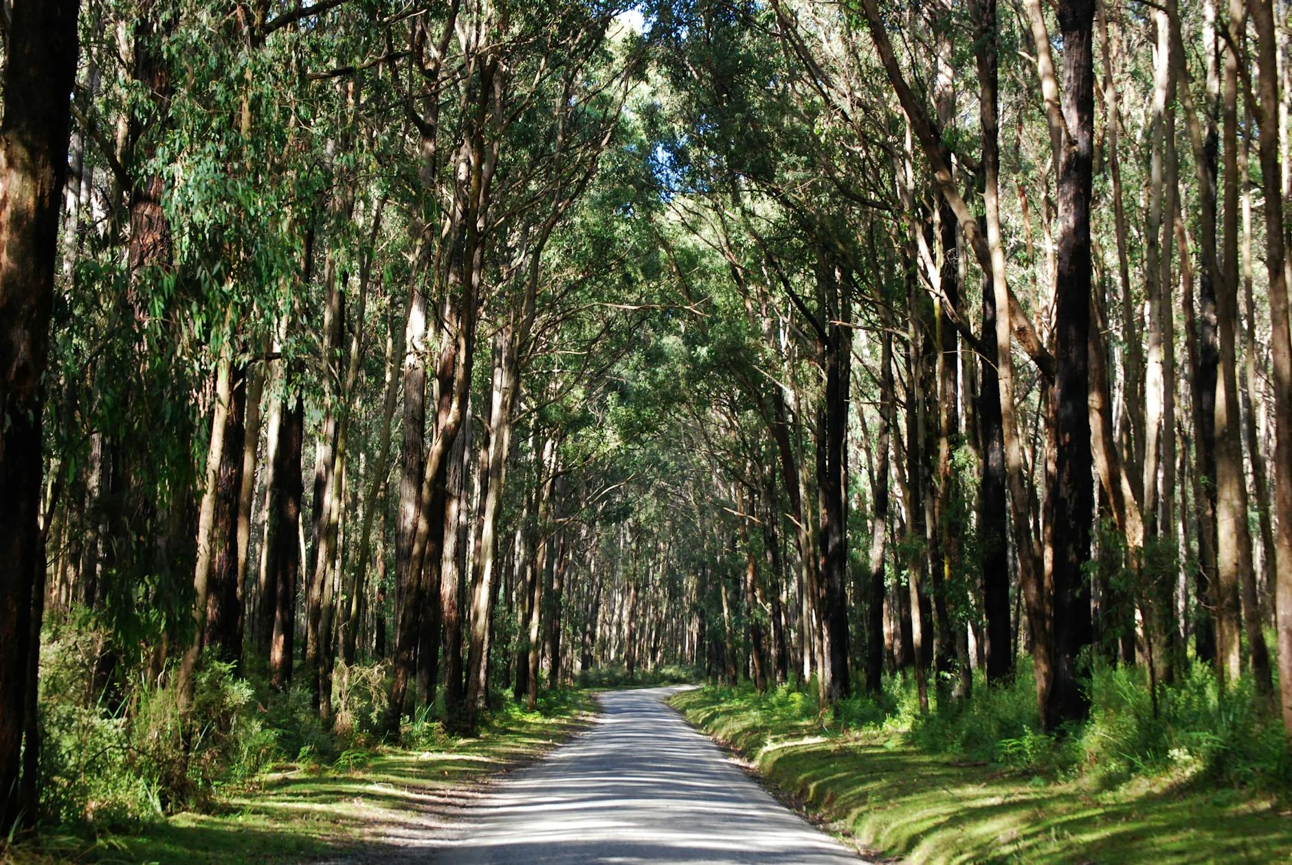
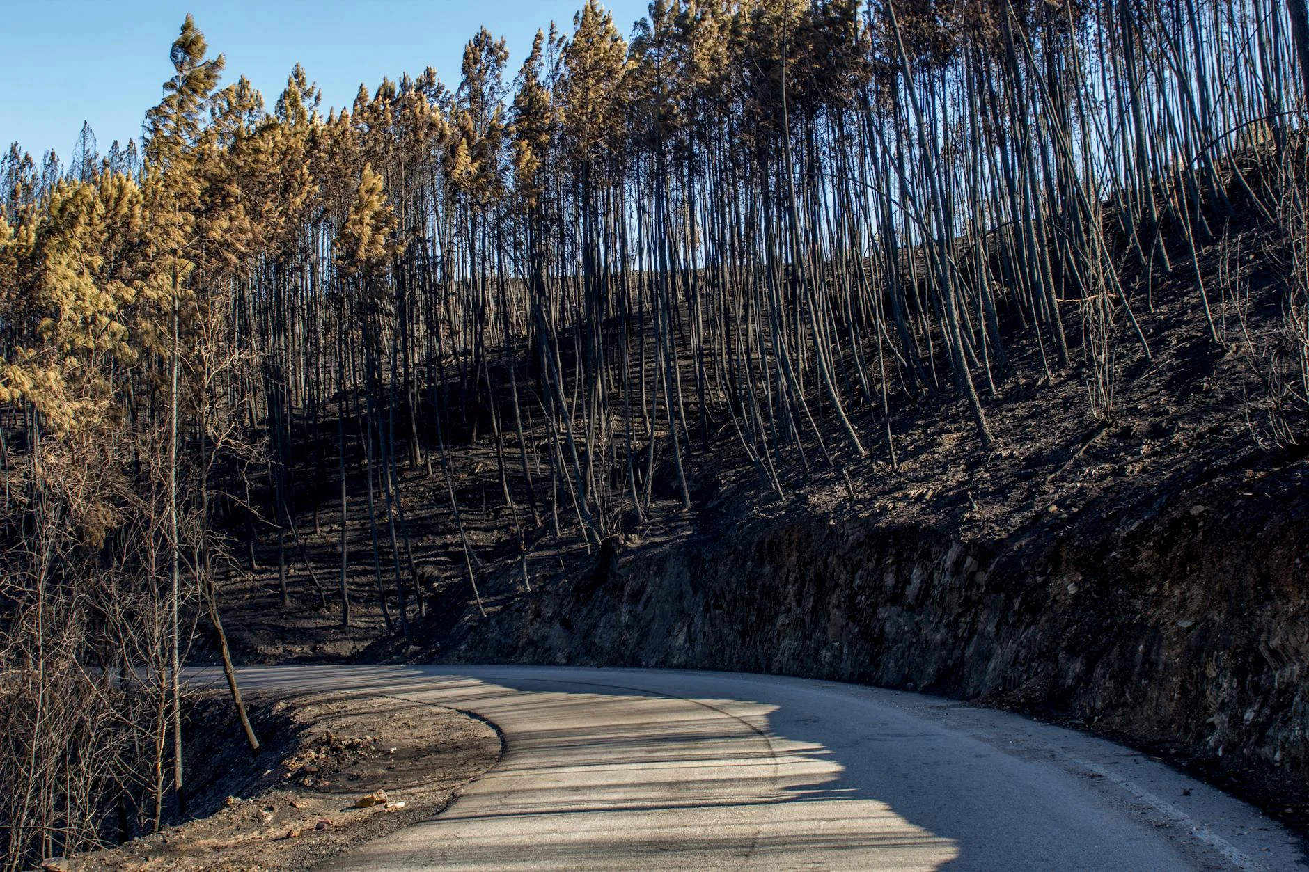
The Marysville to Woods Point Road is one of those drives that experienced Yarra Ranges locals guard as their own. From Marysville the road heads east into mountain ash forest that closes overhead within the first few kilometres and does not let go. The corners come fast and constant through dense canopy - each bend leading directly into the next with barely a straight between them. The surface is well-maintained asphalt and the traffic outside Melbourne weekends is almost non-existent. The regrowth from the 2009 Black Saturday fires is visible in places - younger stands of mountain ash mixed with mature survivors giving the forest a layered quality. As the road pushes further east toward Woods Point the country becomes progressively more remote. Woods Point itself is a former gold town that peaked in the 1860s and never really recovered - a handful of buildings, a campground, and the quiet authority of a place that has been left alone for a long time. The drive is best paired with the Black Spur from Healesville to Marysville as a morning-to-afternoon circuit through the best of the Yarra Ranges.
The Marysville to Woods Point Road is one of those drives that experienced Yarra Ranges locals guard as their own.
Why this road
The region
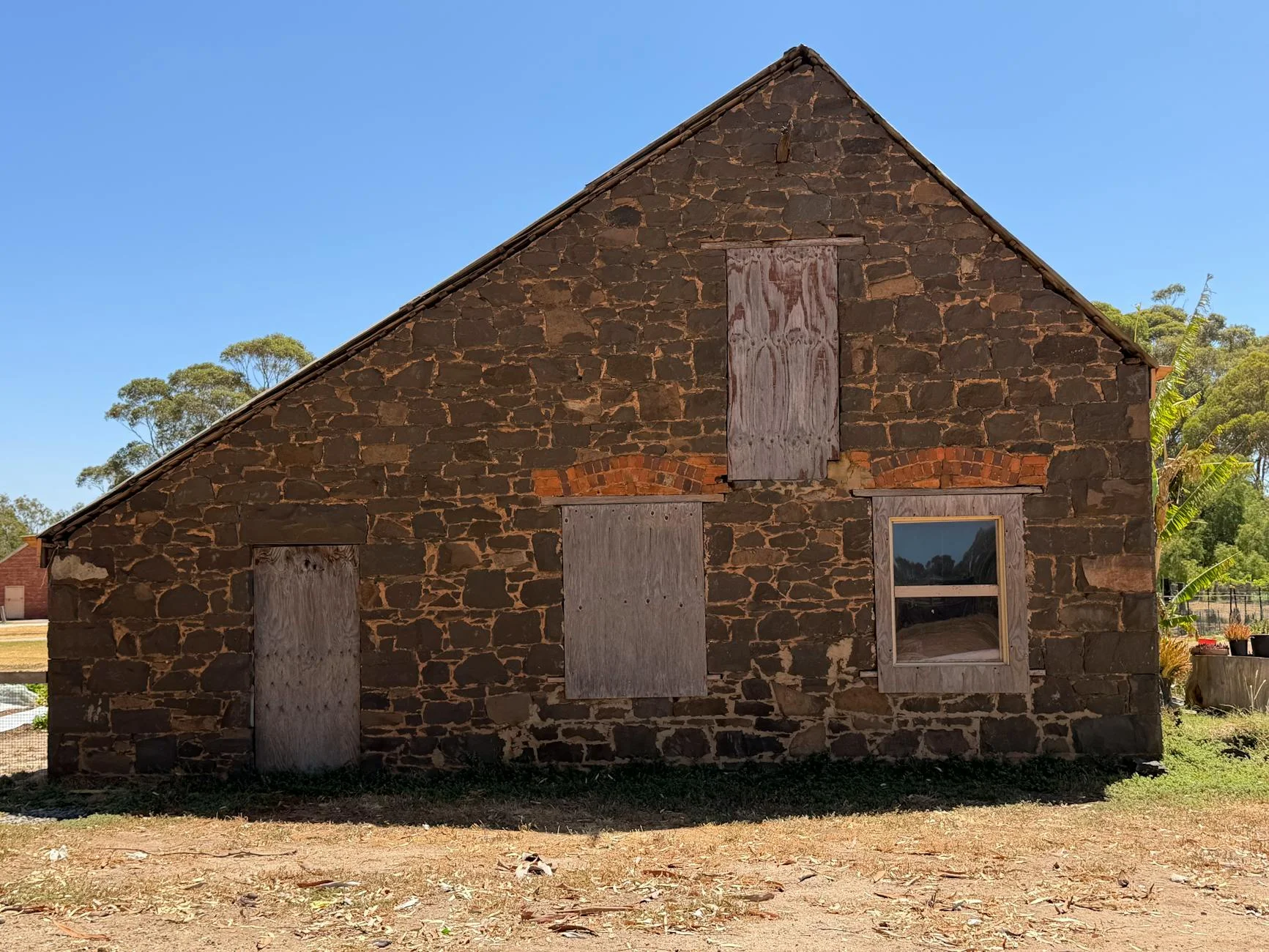
Marysville sits at the confluence of several Yarra Ranges river valleys, 100 km northeast of Melbourne. The town was largely destroyed in the 2009 Black Saturday fires and has since rebuilt. The road toward Woods Point climbs into the mountain ash - tall eucalypt that forms a continuous canopy overhead. Woods Point is a former gold town that survived as a small community.
History
The Woods Point area was one of Victoria's richest goldfields in the 1860s, accessed via this route from Marysville. Several of the largest gold nuggets found in Victoria came from the Jordan diggings near Woods Point.
Before you go
Fuel in Marysville. Road is sealed and open year-round. Black ice is possible above 700m from June to August. Light traffic outside Melbourne weekends. Good surface condition. The road connects to the Cumberland River valley and the Woods Point township at the far end.
See a routing error?
Flag itWorth stopping for
Lake Mountain
The ski resort and cross-country snow route above Marysville - accessible from the same starting point in winter.
Steavenson Falls
A short walk from Marysville to one of Victoria's tallest waterfalls, illuminated at night during summer.
Route
Start
Marysville
End
Woods Point
Gallery
More roads like this