Licola to Jamieson
93 km
distance
3h 30m
Contour time
5.1
avg score
Unsealed
surface
Scenery
Victoria
The Jamieson-Licola Road connects two of the Victorian High Country's most remote accessible towns. Jamieson was...
Road quality
5.1 RQS
Every segment scored on 40+ data signals.
Accessibility
Fully sealed
Best in 4WD. Peak season: Dec-Mar.
7-day forecast
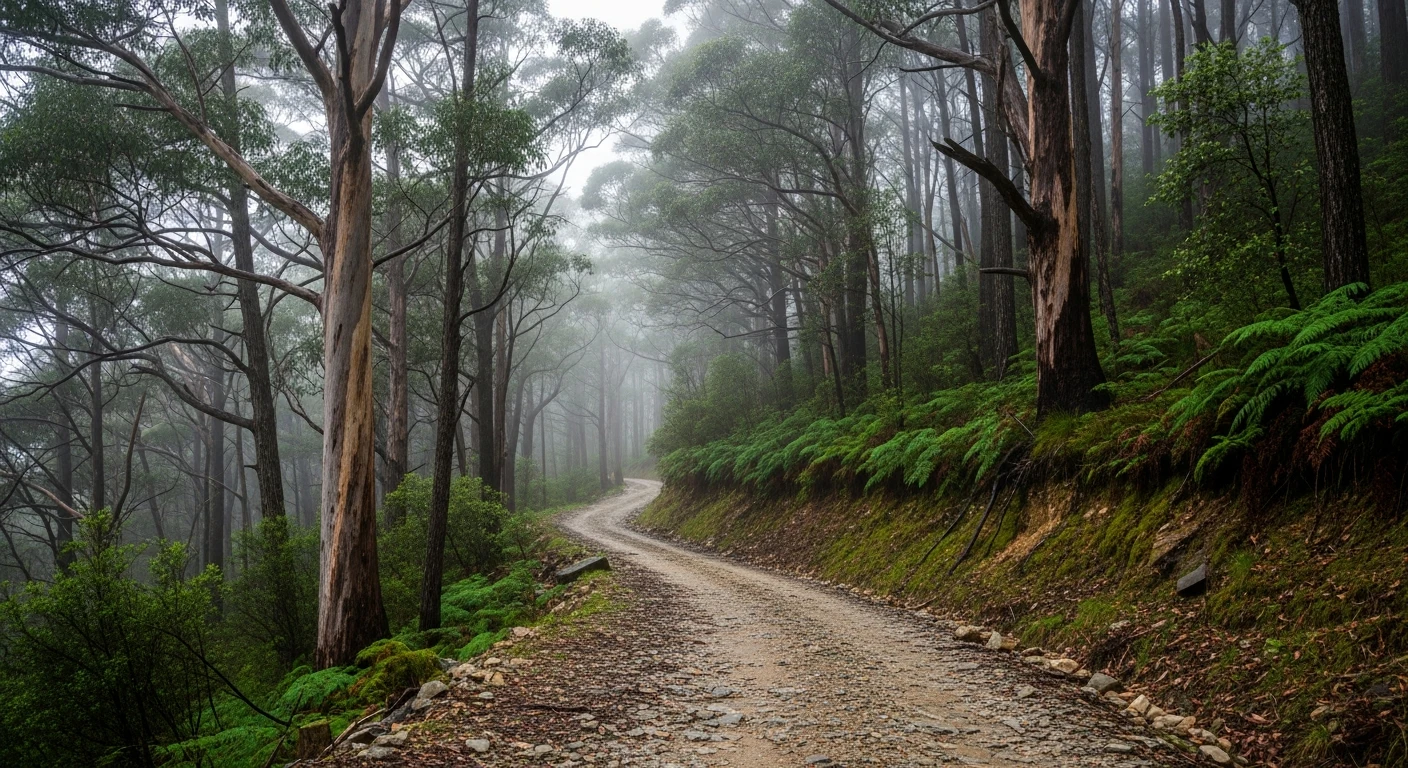
More accessible than the earlier stages but still demanding at 93 kilometres. High clearance 4WD recommended. The road is sealed for about 11 kilometres out of Licola, then unsealed over Mount Skene to Jamieson.
Scored 5.1/10 by Contour's road quality algorithm across curviness, surface, elevation and traffic. Best suited for 4wd drivers.
The road
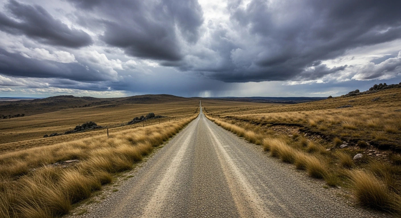
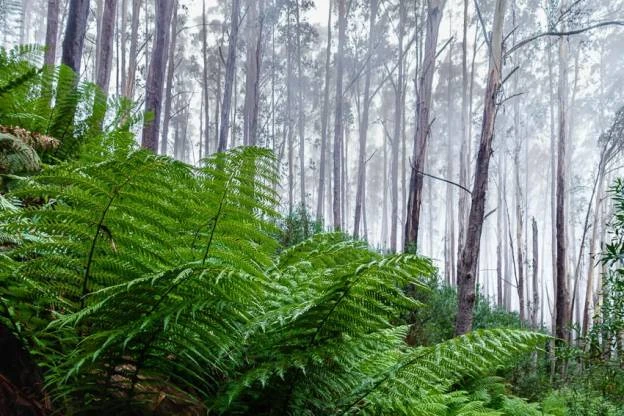
The closing stage of the Victorian High Plains Loop is the longest, running 93 kilometres from Licola over Mount Skene to the historic gold mining town of Jamieson along the Jamieson-Licola Road. The first 11 kilometres out of Licola are sealed, then the road becomes unsealed and narrow through mountainous terrain. The road crosses Mount Skene at elevation and is officially closed during the snow season (June to October) by Mansfield Shire Council. Progress is slow because of the winding, mountainous terrain, but the scenery is spectacular. The Jamieson River valley in the later stages is pastoral and green by high-country standards. Jamieson has a pub, a general store and accommodation - the first proper services since leaving the plateau.
The closing stage of the Victorian High Plains Loop is the longest, running 93 kilometres from Licola over Mount Skene to the historic gold mining town of Jamieson along the Jamieson-Licola Road.
Why this road

The region
The Jamieson-Licola Road connects two of the Victorian High Country's most remote accessible towns. Jamieson was settled for gold mining in the 1860s and the mine workings are visible in the surrounding hills. The road was built for timber haulage and passes through some of Victoria's most remote forested country.

History
Jamieson was one of the major gold rush settlements in the Victorian high country, established after alluvial gold was found in the Jamieson River in 1865.
Before you go
Road sealed for 11km from Licola, then unsealed. Can be slippery in wet weather. Officially closed over Mt Skene during snow season (June-October). Jamieson has fuel, accommodation and meals at the hotel. Allow a full day for this stage.
See a routing error?
Flag itWorth stopping for
Jamieson Arms Hotel
Operating since the 1860s gold rush. The logical end point for the loop completion.
Jamieson gold workings
Mine tailings and sluicing channels above the town are visible from the road and accessible on short walks.
Route
Start
Licola
End
Jamieson
Gallery

More roads like this