Licola Link
113 km
distance
1h 40m
Contour time
4.4
avg score
Unsealed
surface
Scenery
Victoria
The country between the Wonnangatta Valley and Licola is part of the Alpine National Park and is some of the...
Road quality
4.4 RQS
Every segment scored on 40+ data signals.
Accessibility
Fully sealed
Best in 4WD. Peak season: Dec-Mar.
7-day forecast
High clearance 4WD required. Creek fords can be deep after rain. Allow the most time of any stage in the loop - conditions can deteriorate rapidly.
Scored 4.4/10 by Contour's road quality algorithm across curviness, surface, elevation and traffic. Best suited for 4wd drivers.
The road
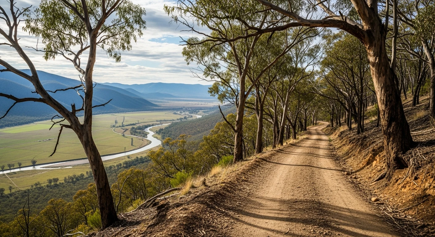
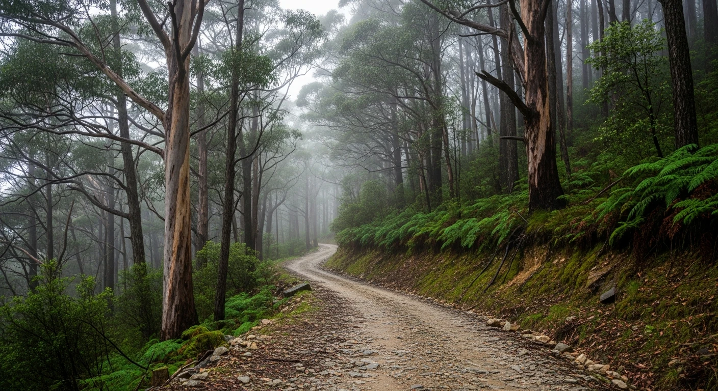
The exit route from the Wonnangatta Valley south to Licola is 30 kilometres of remote gravel track through the Alpine National Park. The route climbs out of the Wonnangatta River valley, crosses several creek fords and traverses a series of ridges before descending to the Macalister River valley at Licola. This stage requires the most time of any in the loop - the fords can be deep after rain and the track surface deteriorates rapidly with wet weather. Licola at the end is a small township on the edge of the high country with a store and a campground - the first resupply since Dargo.
The exit route from the Wonnangatta Valley south to Licola is 30 kilometres of remote gravel track through the Alpine National Park.
Why this road

The region
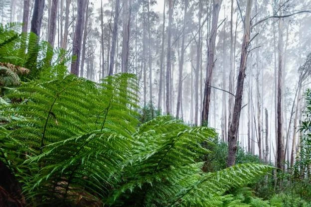
The country between the Wonnangatta Valley and Licola is part of the Alpine National Park and is some of the least-visited terrain in Victoria. The track passes through the upper Macalister River catchment - the river that fills the Thomson Reservoir supplying Melbourne's water.

Before you go
No services between Wonnangatta and Licola. Creek fords can be impassable after rain - check conditions. Allow a full day. Satellite communications essential. Licola has a small general store with limited stock.
See a routing error?
Flag itWorth stopping for
Licola general store
End of the remote country - basic provisions and a campground for overnight recovery.
Macalister River
Good trout fishing in the river below Licola - worth combining with the drive.
Route
Start
Wonnangatta Station
End
Licola
Gallery

More roads like this