4
Stages
~115
Total km
Victoria
State
Contour
Organiser
2024
Since
specialist
Difficulty
4 stages across Victoria
The roads
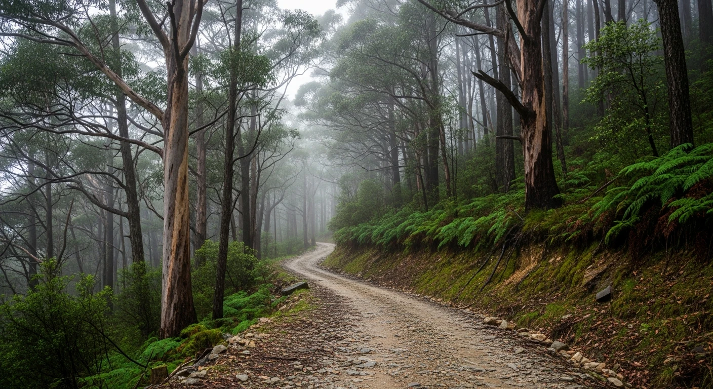
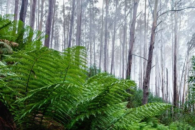
Four unsealed stages through the most remote country in Victoria - alpine plains, deep river gorges and old cattlemen's tracks connecting Dargo, Wonnangatta and Licola. High difficulty. Not for stock vehicles without preparation.
The event
No rally event. The Dargo-Wonnangatta-Licola circuit is one of Victoria's great 4WD routes, connecting the Alpine National Park's most isolated valley. Wonnangatta Station is where two stockmen were murdered in 1918 - still unsolved. The road in is rough. The country is exceptional. Always carry a PLB or satellite communicator on this circuit.
4 stages
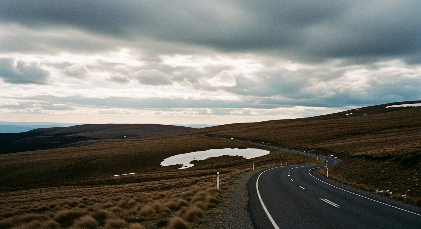
Stage 1 - Dargo High Plains Road
70 kmThe climb from Dargo township to the alpine plateau. 35 kilometres gaining over 1,100 metres via rough, steep gravel through ash forest and exposed moorland.
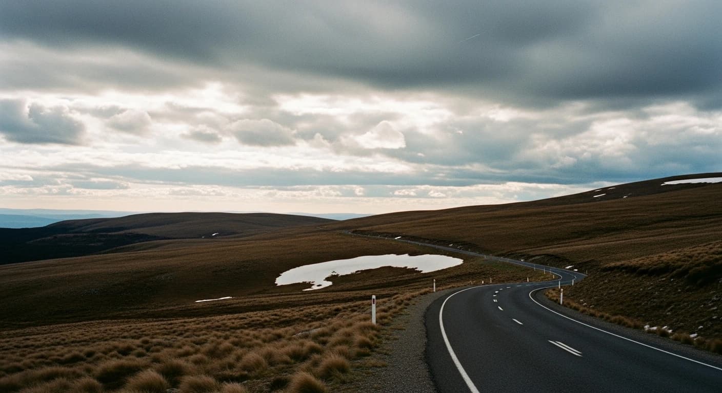
Stage 2 - Wonnangatta Valley
25 kmThe descent from the plateau to Wonnangatta Station. The most dramatic section of the Victorian High Plains Loop - dropping through tight forest track to an isolated river flat surrounded by mountains.
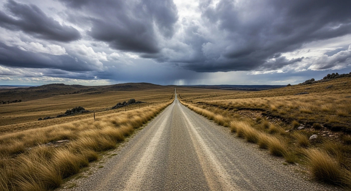
Stage 3 - Licola Link
113 kmThe exit route from the Wonnangatta Valley south to Licola. 30 kilometres of remote gravel track through the Alpine National Park with creek fords and ridge traverses.
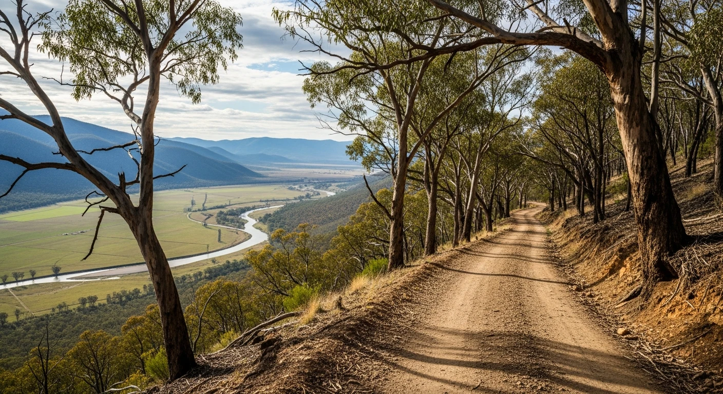
Stage 4 - Licola to Jamieson
93 kmThe closing stage of the Victorian High Plains Loop. The Jamieson-Licola Road - 93 kilometres of mostly unsealed mountain road running from Licola over Mount Skene to the historic mining town of Jamieson.
Start from the beginning
See Stage 1 on the map. The heatmap shows exactly why these roads are worth driving.
View Stage 1 on mapTrack your progress