Gunbarrel Highway
1,400 km
distance
140h
Contour time
2.7
avg score
Unsealed
surface
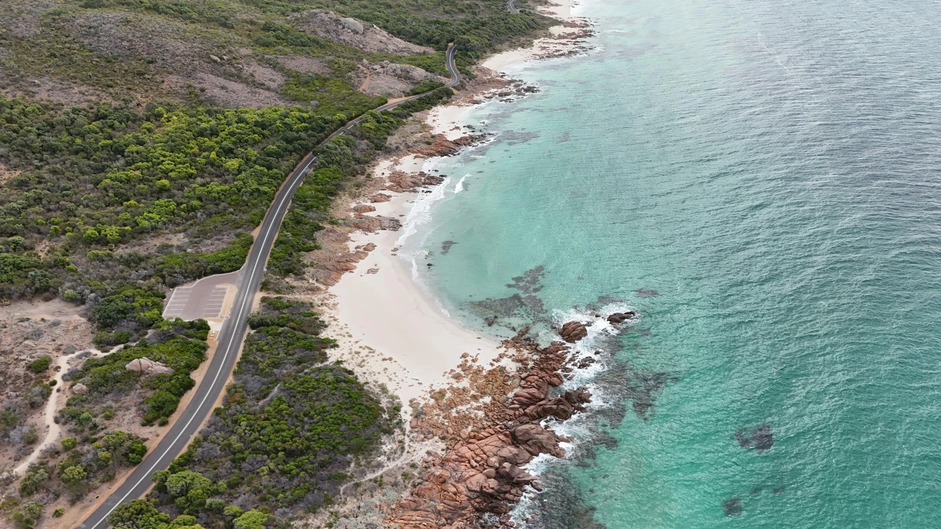
Scenery
Western Australia
The Gunbarrel crosses the Gibson Desert and the western edge of the Great Sandy Desert, two of Australia's...
Road quality
2.7 RQS
Every segment scored on 40+ data signals.
Accessibility
Fully sealed
Best in 4WD modified. Peak season: May-September.
7-day forecast
Modified 4WD with long-range fuel tank required. The Gunbarrel crosses 1,400 km of desert with only two reliable fuel stops. Sand, corrugations, spinifex and washouts are constant. This is expedition-grade touring that demands vehicle preparation and self-sufficiency.
Scored 2.7/10 by Contour's road quality algorithm across curviness, surface, elevation and traffic. Best suited for 4wd modified drivers.
The road
The Gunbarrel Highway is one of the great misnomers in Australian geography. It is gazetted as a highway but it is a corrugated, sand-drifted, spinifex-lined 4WD track that crosses 1,400 kilometres of some of the most remote desert in Australia. The name comes from Len Beadell, the surveyor who built the road in the 1950s as part of the weapons testing programme at Woomera. Beadell's brief was to build roads 'as straight as a gun barrel' across the central deserts to connect remote weapons testing sites. The road he built was never intended for public use and has been minimally maintained since. The route runs from Wiluna in Western Australia's northeast Goldfields to Yulara (Uluru) in the Northern Territory, crossing the Gibson Desert, the Great Sandy Desert margins and the Petermann Ranges. The surface varies from reasonable graded gravel near settlements to deep sand, corrugated washboard and spinifex-choked sections in the desert interior. Several creek crossings are seasonal and can flood after rain. The longest gap between reliable fuel is roughly 800 km, which requires either a long-range tank or jerry cans. Carnegie Station and Warburton are the only settlements along the route, and fuel availability at Carnegie is not guaranteed. The desert itself is austere and compelling - red sand, spinifex grassland, desert oaks and a sky that is visibly larger than anything in the settled parts of Australia. The Beadell marker posts along the route are small metal plaques recording the date of construction and occasionally a wry comment from Beadell himself.
The Gunbarrel Highway is one of the great misnomers in Australian geography.
Why this road
The region
The Gunbarrel crosses the Gibson Desert and the western edge of the Great Sandy Desert, two of Australia's least-visited arid zones. The Gibson was named by Ernest Giles after Alfred Gibson, a member of his 1874 expedition who died trying to cross it. The country is flat, red and vegetated with spinifex and desert oak. The Petermann Ranges near the NT border are low hills of ancient rock that provide the only significant elevation change on the route. The Aboriginal communities of Warburton, Tjukurla and Docker River are near the route and Aboriginal land transit permits are required.

Before you go
Multiple Aboriginal land transit permits are required - apply well in advance through the relevant land councils. Fuel at Wiluna, Warburton (check availability) and Yulara. Carnegie Station may have fuel but is not guaranteed. Carry minimum 80 litres of extra fuel and 40 litres of water. Two full-size spare tyres minimum. A satellite communicator and EPIRB are essential. Allow 7-10 days. Drive only May to September - summer temperatures exceed 50 degrees. Travel in convoy with at least one other vehicle. Register your trip with WA Police.
See a routing error?
Flag itWorth stopping for
Carnegie Station
A remote pastoral station roughly halfway along the route. Fuel and basic supplies may be available but contact in advance to confirm.
Uluru-Kata Tjuta National Park
The endpoint at Yulara puts you at the doorstep of Uluru. A fitting finish to one of the hardest drives in Australia.
Route
Start
Wiluna
End
Yulara NT
Gallery

More roads like this