Holland Track
350 km
distance
18h
Contour time
4.4
avg score
Unsealed
surface
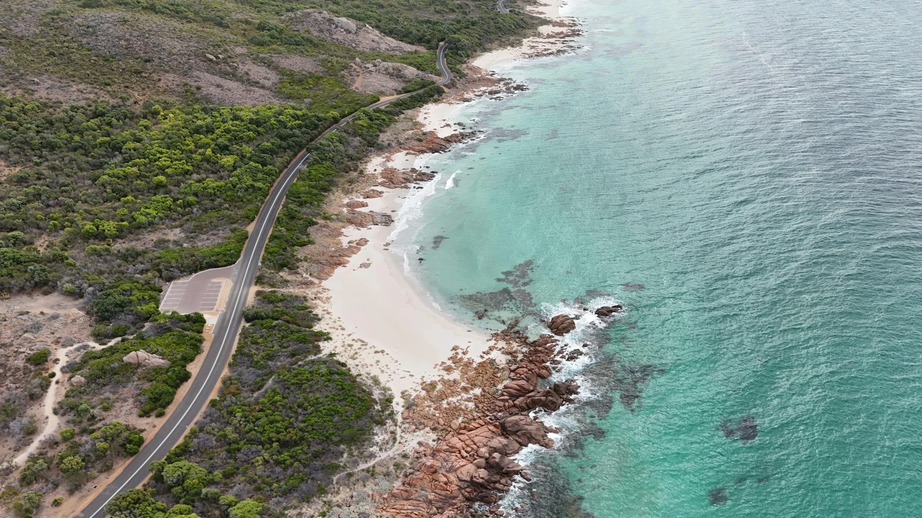
Scenery
Western Australia
The Great Western Woodlands lie between the Wheatbelt agricultural zone and the Goldfields-Esperance mining region of...
Road quality
4.4 RQS
Every segment scored on 40+ data signals.
Accessibility
Fully sealed
Best in 4WD. Peak season: March-November.
7-day forecast
Stock 4WD with good clearance. The track varies from well-graded sections to rougher bush tracks with sandy patches and occasional rock. The main challenge is length and isolation - no services for 350 km.
Scored 4.4/10 by Contour's road quality algorithm across curviness, surface, elevation and traffic. Best suited for 4wd drivers.
The road
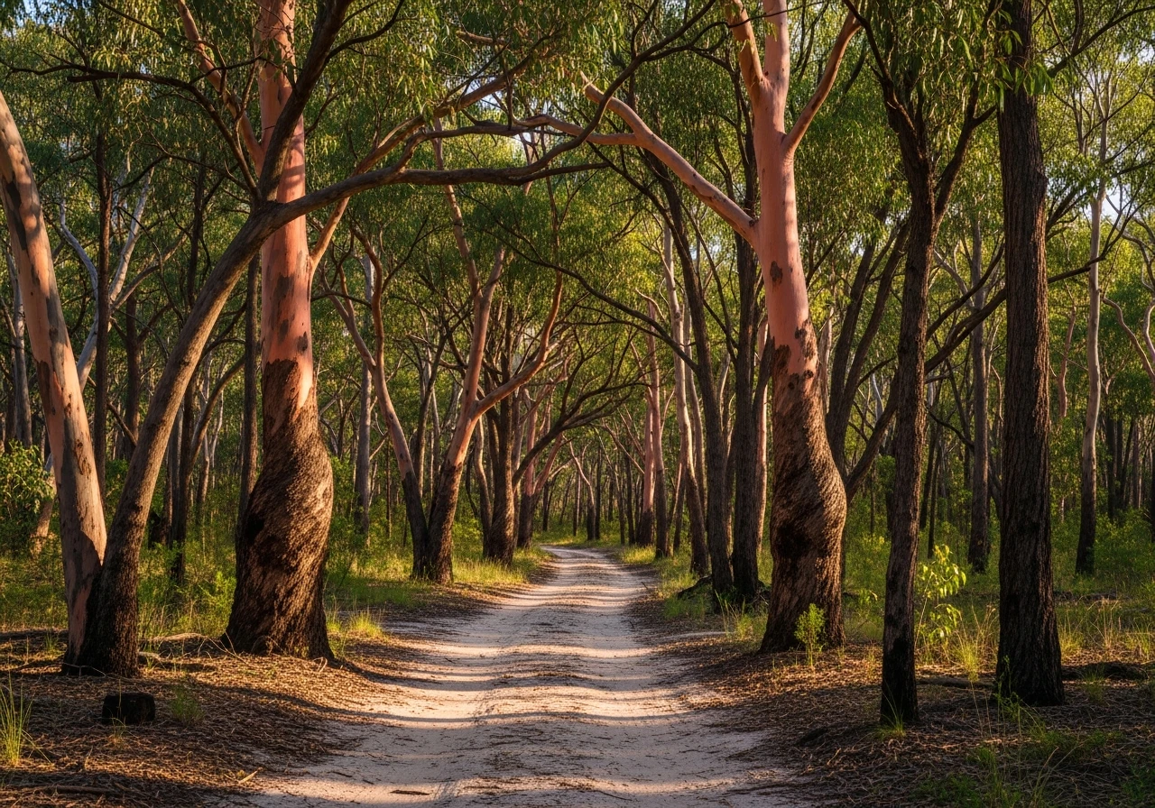
The Holland Track runs 350 kilometres from Hyden to Coolgardie through the Great Western Woodlands, following the route blazed by John Holland in 1893 when he rode a horse from the settled Wheatbelt to the Coolgardie goldfields. Holland's achievement was remarkable - he crossed country that had no reliable water, no tracks and no maps, navigating by compass through woodland so dense it swallowed sound. The track that bears his name is the most accessible way to experience the same landscape. The Great Western Woodlands is one of the largest intact temperate woodlands remaining on earth - 16 million hectares of eucalypt woodland, mallee scrub and sand plain heath that has never been cleared because the soil is too poor for farming and the rainfall too low for cropping. The diversity of eucalypt species in this woodland is extraordinary - over 100 species in a single ecosystem. The track surface varies. Some sections are well-graded shire road, others are rough bush track with sandy patches, fallen timber and low scrub encroaching on the edges. The historic wells that Holland and subsequent prospectors used are marked along the route, though most are now dry or collapsed. The track passes through Emu Rocks, a granite outcrop used as a camp by travellers since the 1890s, and crosses the boundary between the settled Wheatbelt and the mining country of the Eastern Goldfields. Coolgardie at the eastern end was the site of the first major gold discovery in Western Australia in 1892 and retains a grand main street that is wider than it needs to be for a town of 1,800 people.
Why this road
The region
The Great Western Woodlands lie between the Wheatbelt agricultural zone and the Goldfields-Esperance mining region of Western Australia. The area is sparsely populated and largely unmanaged - no national park status, minimal infrastructure, and the kind of quiet that comes from being surrounded by millions of hectares of eucalypt forest with no one in it. Hyden at the western end is a small Wheatbelt town famous for Wave Rock, a 15-metre granite wave formation. Coolgardie at the eastern end was once the third-largest city in WA during the gold rush and now has a museum, a pub and a sense of scale that the remaining buildings only partially convey.

Before you go
No fuel between Hyden and Coolgardie - 350 km. Carry extra fuel sufficient for your vehicle to cover 500 km. Twenty litres of extra water minimum. Two spare tyres recommended. No mobile coverage for the entire track. A satellite communicator is strongly recommended. The track can become boggy after rain, particularly in the clay-bottomed creek crossings. Allow two full days. The track is best driven March to November - summer temperatures exceed 40 degrees and the fire risk is extreme.
See a routing error?
Flag itWorth stopping for
Wave Rock, Hyden
A 15-metre-high granite wave formation 3 km from Hyden. The best-known geological feature in the Wheatbelt and worth a stop before the track.
Coolgardie Museum
The Goldfields Exhibition Museum covers the 1892 gold rush and the extraordinary scale of the boomtown that followed. The main street is wider than Sydney's.
Route
Start
Hyden
End
Coolgardie
Gallery

More roads like this