Cotter Hut Road
9.5 km
distance
1h 10m
Contour time
5.2
avg score
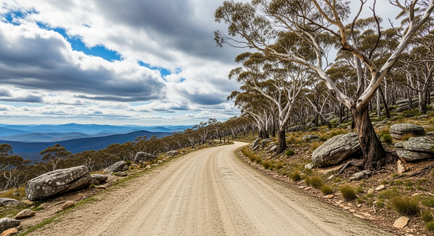
Unsealed
surface
Scenery
Australian Capital Territory
The upper Cotter River catchment is one of Canberra's water supply areas and one of the most isolated parts of Namadgi...
Road quality
5.2 RQS
Every segment scored on 40+ data signals.
Accessibility
Fully sealed
Best in 4WD. Peak season: Autumn-Spring.
7-day forecast
Moderate track with a higher recovery risk due to remoteness and limited exit options. Technically straightforward for a capable 4WD but the isolation requires proper preparation. Not a track to try solo without comms.
Scored 5.2/10 by Contour's road quality algorithm across curviness, surface, elevation and traffic. Best suited for 4wd drivers.
The road
Cotter Hut Road pushes into the upper Cotter River catchment - one of the most isolated parts of Namadgi National Park. The 9.5-kilometre track reaches a historical stockmen's hut from the grazing era, one of a handful preserved in the park. The surrounding country is sub-alpine at the higher elevations - snow gum, alpine ash and frost-hollow shrubland. Very few people make it out here even in summer. The RRI of 5.82 reflects the remoteness and limited exit options rather than extreme technical difficulty. The track itself is straightforward for a capable 4WD but the isolation requires satellite communication and proper preparation. The upper Cotter Valley was seasonally grazed by High Country cattlemen from the 1870s until grazing was excluded as Namadgi was gazetted from 1984.
Cotter Hut Road pushes into the upper Cotter River catchment - one of the most isolated parts of Namadgi National Park.
Why this road

The region
The upper Cotter River catchment is one of Canberra's water supply areas and one of the most isolated parts of Namadgi National Park. The hut at the end of the track is a historical stockmen's hut from the grazing era. The surrounding country is sub-alpine at the higher elevations - snow gum, alpine ash and frost-hollow shrubland. Very few people make it out here even in summer.

History
The Cotter Hut is one of a handful of historical stockmen's huts preserved in Namadgi National Park. The upper Cotter Valley was seasonally grazed by High Country cattlemen from the 1870s until grazing was progressively excluded as Namadgi was gazetted as a national park from 1984.
Before you go
Access via Brindabella Road. Fuel in Canberra or Tumut. This is genuine wilderness - carry a satellite communicator. The track can be closed in winter when snow covers the upper sections. No phone coverage. Allow 3 hours return minimum. Check NPWS conditions before departure.
See a routing error?
Flag itWorth stopping for
Cotter Dam
The large dam on the lower Cotter River, 25 minutes from Canberra - recently expanded and a good viewpoint on the way back.
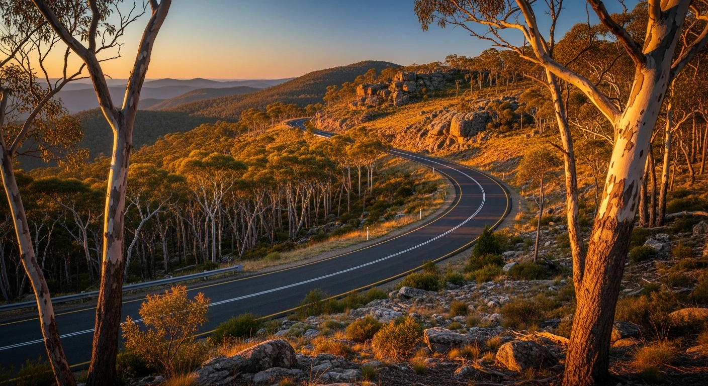
Brindabella Road
The sealed mountain pass road that accesses this trail is itself worth driving for its elevation change and sub-alpine views.
Route
Start
Brindabella Range
End
Cotter Hut area
Gallery

More roads like this