Half Moon Creek Fire Trail
7.5 km
distance
55 min
Contour time
7.2
avg score
Unsealed
surface
Scenery
Australian Capital Territory
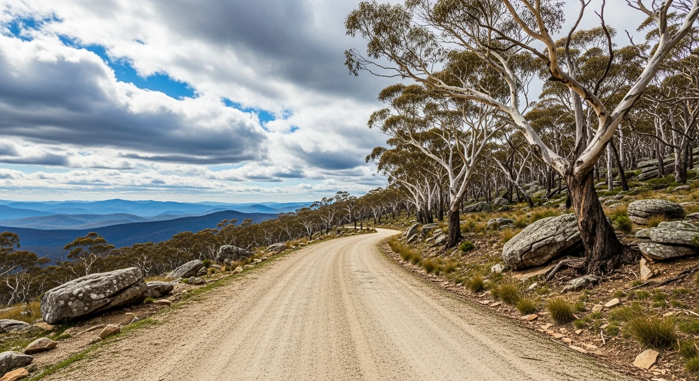
The western face of the Brindabella Range is one of the least visited parts of the ACT. Most Canberra-based 4WD drivers...
Road quality
7.2 RQS
Strong. Above average on most quality signals.
Accessibility
Fully sealed
Best in 4WD. Peak season: Autumn-Spring.
7-day forecast
Technical enough to require a proper 4WD but not so extreme it rules out a stock 80 Series or equivalent. Side slopes and creek crossings make up most of the challenge. Good all-round 4WD terrain.
Scored 7.2/10 by Contour's road quality algorithm across curviness, surface, elevation and traffic. Best suited for 4wd drivers.
The road
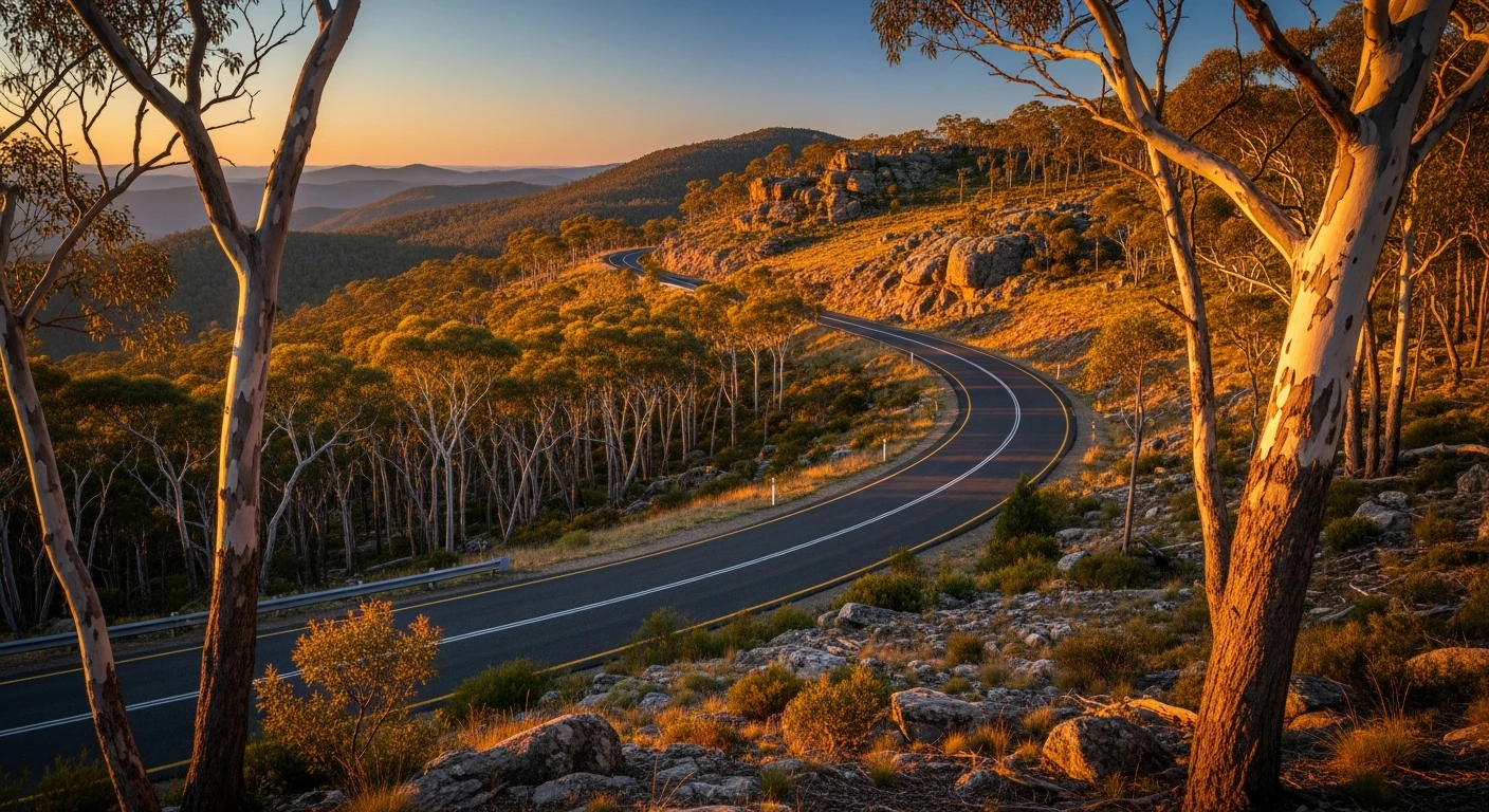
Half Moon Creek Fire Trail is a short track in northern Namadgi that follows a creek drainage through the forested foothills. The trail runs through the kind of country that feels unexpectedly remote for somewhere 40 minutes from Parliament House - dry sclerophyll eucalypt with granite boulder features and occasional views toward the Murrumbidgee gorge. The difficulty is moderate and a standard high-clearance 4WD handles the rocky sections without drama. The trail connects into the broader Namadgi fire trail network. Brindabella Road nearby is itself worth driving for the sealed mountain pass experience.
Half Moon Creek Fire Trail is a short track in northern Namadgi that follows a creek drainage through the forested foothills.
Why this road

The region
The western face of the Brindabella Range is one of the least visited parts of the ACT. Most Canberra-based 4WD drivers stick to Tidbinbilla and Namadgi's central tracks - the Brindabella western approaches are accessed mainly via Brindabella Road from Tumut. The forest here is tall mountain ash and alpine ash transitioning to snow gum at higher elevations. Creek lines run clear and cold year-round.

Before you go
Access from Brindabella Road (NSW side) or from the ACT via Uriarra Road. Fuel in Tumut or Canberra. Check conditions in winter - the upper sections can hold ice and snow June through August. No phone coverage. Let someone know your route. Standard recovery kit appropriate.
See a routing error?
Flag itWorth stopping for
Brindabella Station historic site
The old pastoral station near the NSW border road junction - a working property with a long history of High Country grazing and forestry.
Goodradigbee River
The river at the bottom of the Brindabella descent is one of the better trout fishing streams in the southern tablelands. Good camping spots along the bank.
Route
Start
Brindabella Range western face
End
Half Moon Creek upper reach
Gallery

More roads like this