Brindabella Road
34 km
distance
25 min
Contour time
8.9
avg score
Sealed
surface
Scenery
Australian Capital Territory
Brindabella Road crosses the Brindabella Range on the ACT-NSW border, dropping into the Goodradigbee River valley on...
Road quality
8.9 RQS
Exceptional. Consistently high curviness, surface, and low traffic.
Accessibility
Fully sealed
Best in Sports car. Peak season: Spring-Autumn.
7-day forecast
Sustained sealed mountain road with good elevation gain and open views at the top. Sports car or motorbike are the right tools. Closed or dangerous in snow - check conditions June to September.
Scored 8.9/10 by Contour's road quality algorithm across curviness, surface, elevation and traffic. Best suited for sports car drivers.
The road
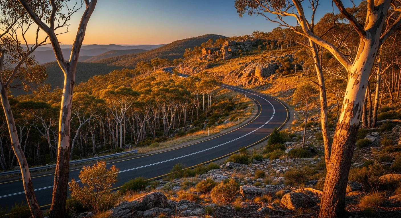
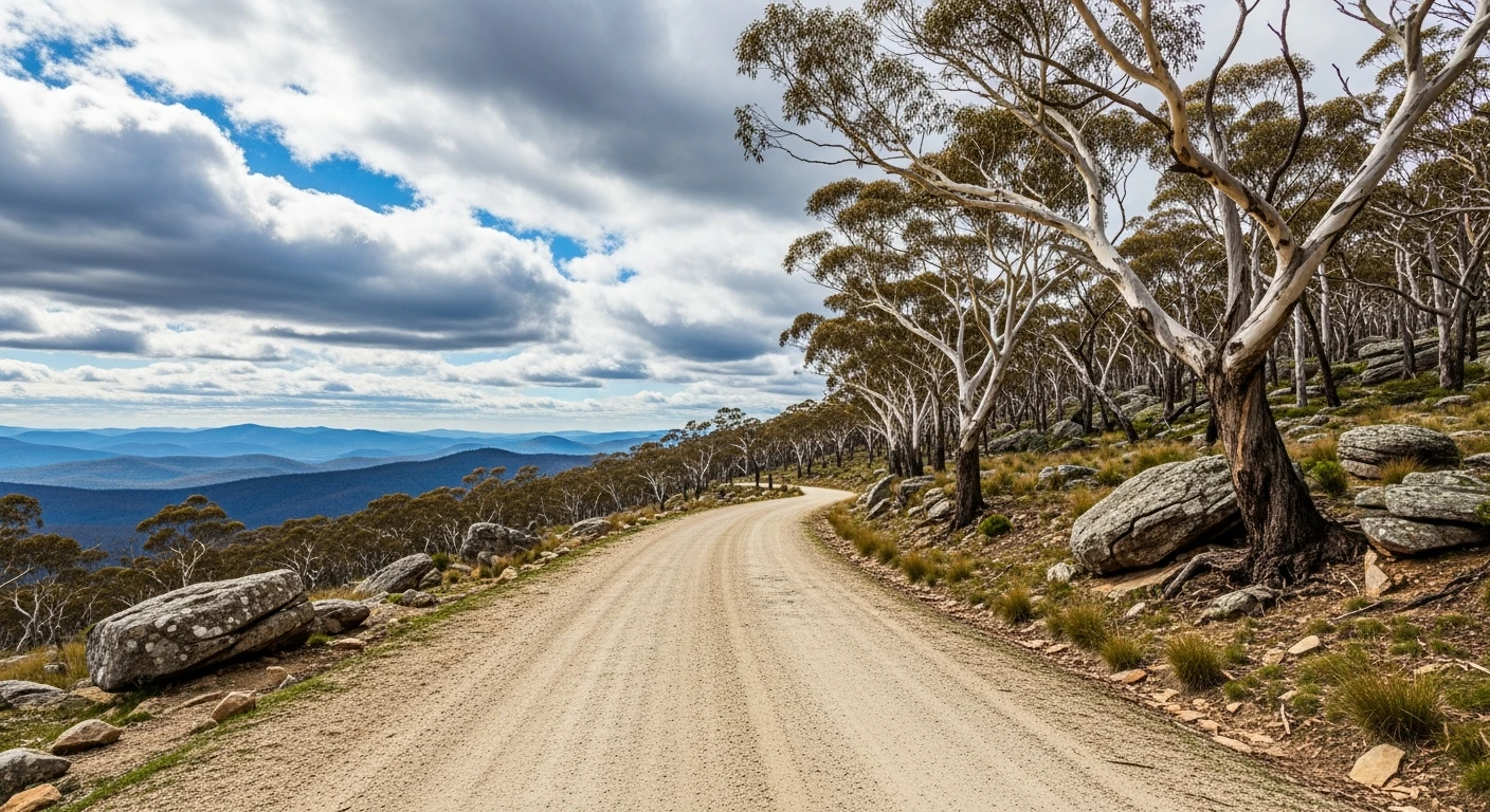
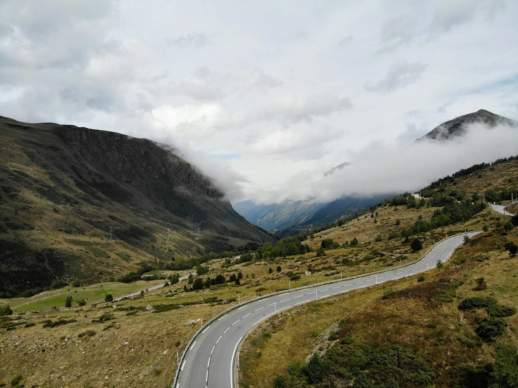
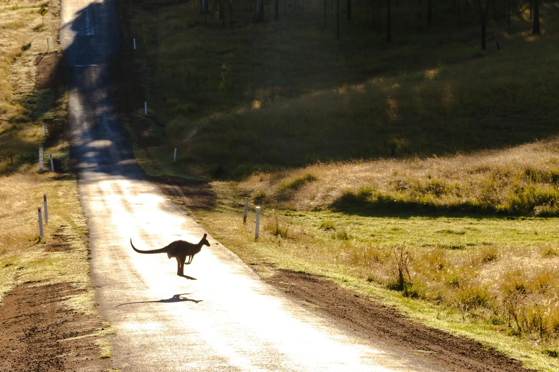
Brindabella Road is the ACT's proper mountain pass - a 34-kilometre sealed crossing of the Brindabella Range on the ACT-NSW border. The road starts at Piccadilly Circus (genuinely its name) and climbs through sub-alpine country to a high pass above 1,400 metres before descending toward the Tumut Valley on the NSW side. The upper sections have open views across the Brindabella Range that are striking for a road this close to a national capital. The descent toward Tumut has fast open sweepers through snow gum and alpine ash. The Goodradigbee River valley on the far side has its own character - the Brindabella station ruins and the old farming community give the road historical weight that goes beyond the driving. The ACT side is all national park. The NSW descent enters Kosciuszko National Park and approaches the Snowy Mountains water catchment. Traffic is almost zero. The road is open year-round but black ice makes the mountain sections genuinely dangerous from June to September.
Brindabella Road is the ACT's proper mountain pass - a 34-kilometre sealed crossing of the Brindabella Range on the ACT-NSW border.
Why this road
The region
Brindabella Road crosses the Brindabella Range on the ACT-NSW border, dropping into the Goodradigbee River valley on the far side. The Brindabella station ruins and the old farming community give this road historical weight. The ACT side is all national park; the NSW descent enters Kosciuszko National Park and approaches the Tumut water catchment.
Before you go
Fuel in Canberra before departure - nothing on the road. Sealed throughout but the mountain sections can carry frost and black ice in winter. Check road conditions before travelling June to September. Very light traffic. The road is open year-round but requires care in cold weather.
See a routing error?
Flag itWorth stopping for
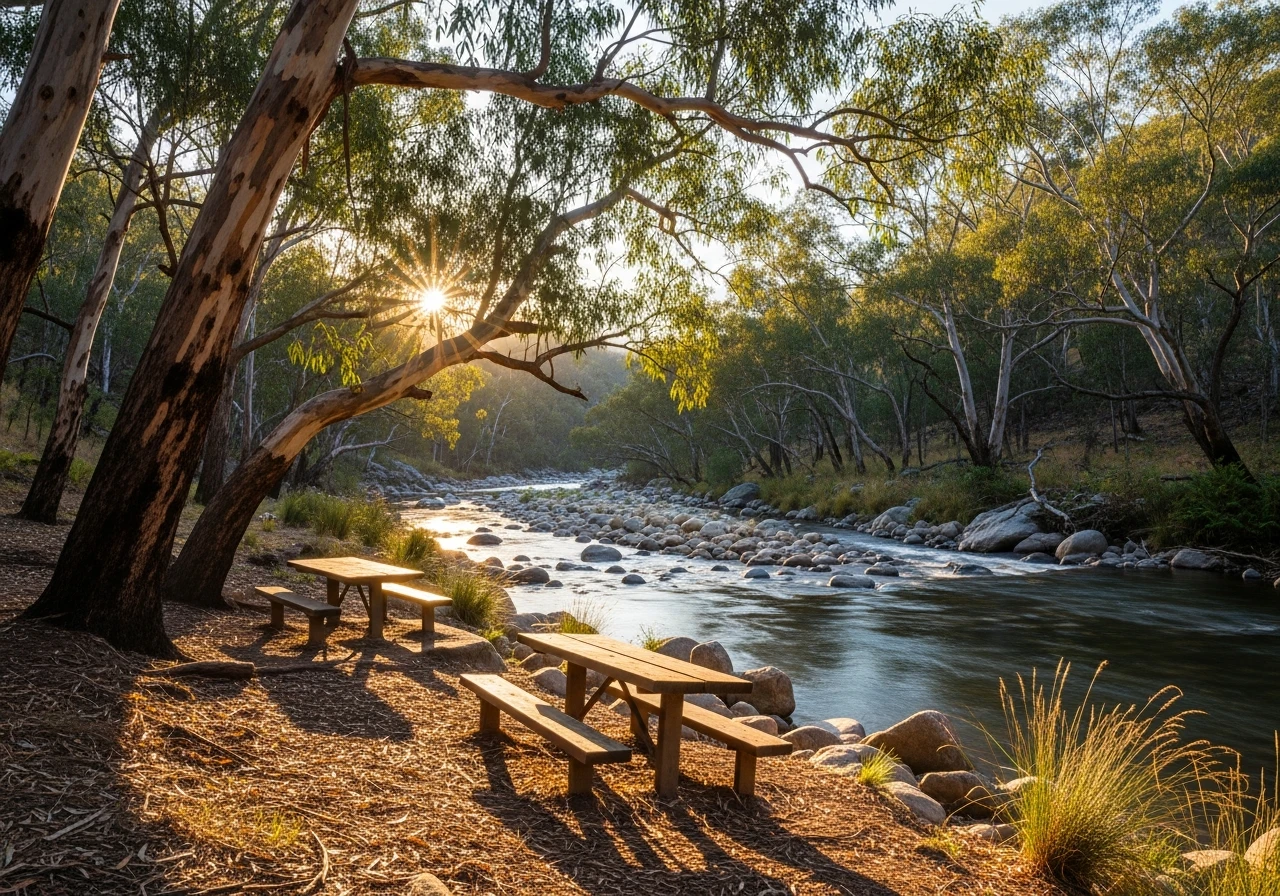
Cotter Reserve
The lower Cotter River swimming area, 30 minutes back toward Canberra - a good stop on return.
Tumut, NSW
The town at the bottom of the descent has good fuel and food, and sits at the edge of the Snowy Mountains.
Route
Start
Piccadilly Circus
End
Brindabella
Gallery
More roads like this