Webbs Ridge Trail
11.5 km
distance
1h 20m
Contour time
3.0
difficulty
Unsealed
surface
Scenery
Australian Capital Territory
Webbs Ridge is part of the Brindabella Range's northern arm, crossing from ACT territory into the Kosciuszko NP side of...
Road quality
Grade 3
Every segment scored on 40+ data signals.
Accessibility
Fully sealed
Best in 4WD. Peak season: Autumn-Spring.
7-day forecast
Ridgeline track with good length and moderate difficulty. Rewards a prepared stock 4WD. The elevation and remoteness mean proper preparation is essential. Side slopes and loose surface are the main challenges.
Recommended gear: Recovery boards, Snatch strap, Satellite comms.
The road
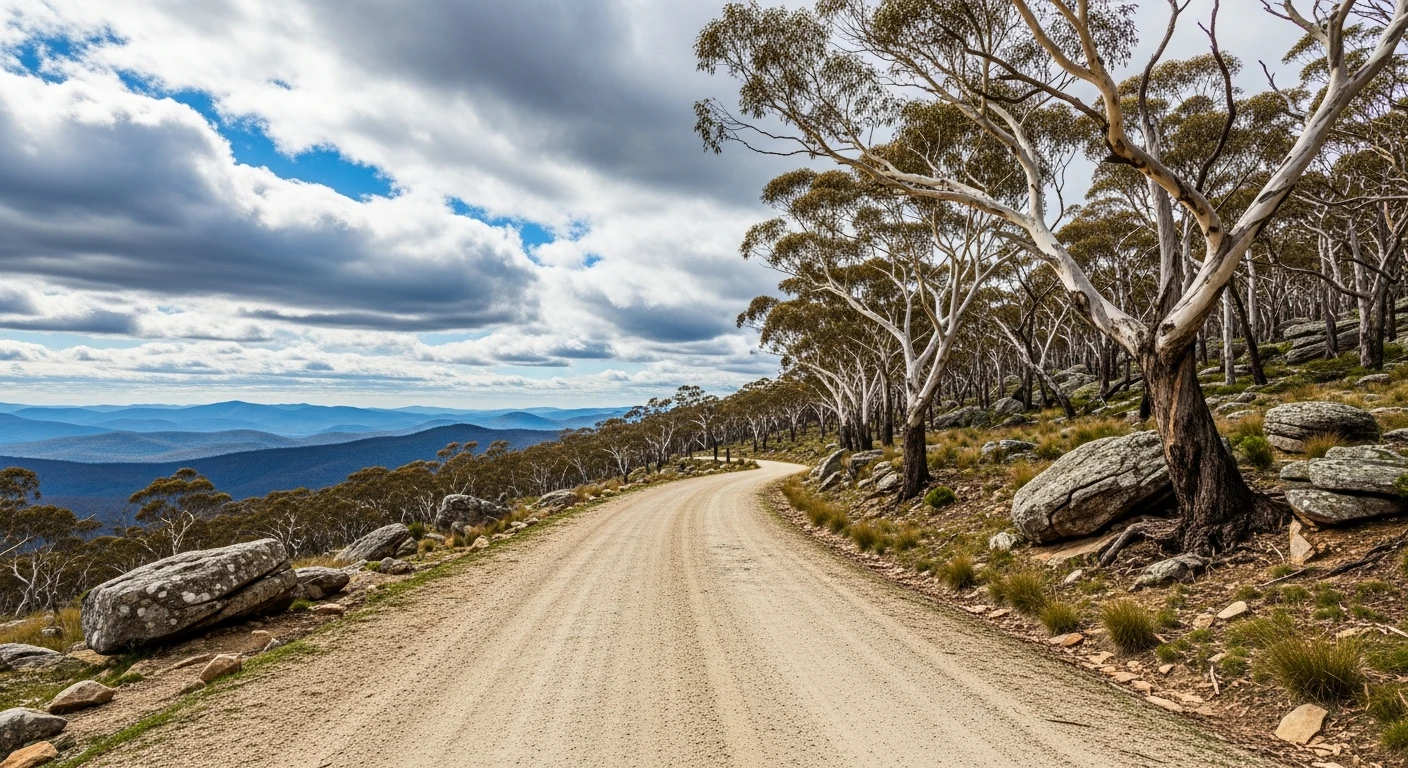
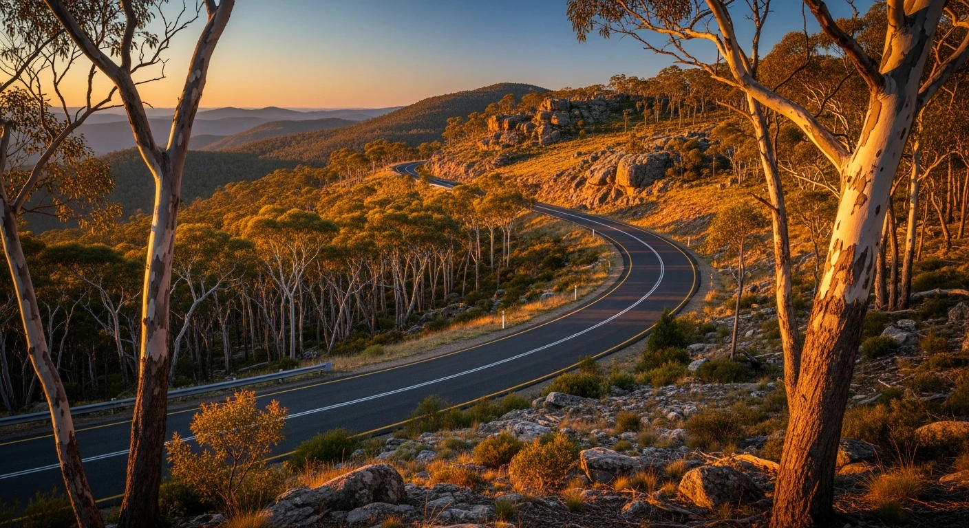
Webbs Ridge Trail is a long ridgeline track in the northern Brindabellas that crosses from ACT territory into the Kosciuszko NP side of the border. The 11.5-kilometre trail follows an exposed sub-alpine ridgeline with views north toward the Murrumbidgee and south toward the main Brindabella massif. The Goodradigbee River valley below is one of the most beautiful and least-visited valleys in the southern tablelands - good brown and rainbow trout water with very few other anglers. The difficulty is moderate but the elevation and remoteness mean proper preparation is essential. Side slopes and loose surface are the main challenges. Satellite comms recommended as the upper ridge is out of phone range with limited exit alternatives.
Webbs Ridge Trail is a long ridgeline track in the northern Brindabellas that crosses from ACT territory into the Kosciuszko NP side of the border.
Why this road

The region
Webbs Ridge is part of the Brindabella Range's northern arm, crossing from ACT territory into the Kosciuszko NP side of the border. The Goodradigbee River valley below is one of the most beautiful and least-visited valleys in the southern tablelands. The ridge itself is exposed sub-alpine terrain with views north toward the Murrumbidgee and south toward the main Brindabella massif.

Before you go
Access from Brindabella Road or from the Goodradigbee valley via Paling Yards. Fuel in Tumut or Canberra. The upper ridge can be inaccessible in winter due to snow and ice. Allow 2-3 hours end to end. Satellite comms recommended due to remoteness and limited exit alternatives.
See a routing error?
Flag itWorth stopping for
Goodradigbee River fishing
The river at the base of the ridge is a good trout stream with access points off Brindabella Road. Brown and rainbow trout, very few other anglers.
Blundells Cottage, Canberra
For contrast after the wilderness - a convict-era sandstone farmhouse in the middle of the parliamentary triangle, from the early settlement period of the ACT.
Route
Start
Goodradigbee River approach
End
Webbs Ridge high point
Gallery

More roads like this