Yorke Peninsula Loop
177 km
distance
2h 10m
Contour time
6.3
avg score
Sealed
surface
Scenery
South Australia
The Yorke Peninsula extends 200 kilometres into the Spencer Gulf south of Kadina. The peninsula was settled from the...
Road quality
6.3 RQS
Every segment scored on 40+ data signals.
Accessibility
Fully sealed
Best in Motorbike & Rally. Peak season: Year-round.
7-day forecast
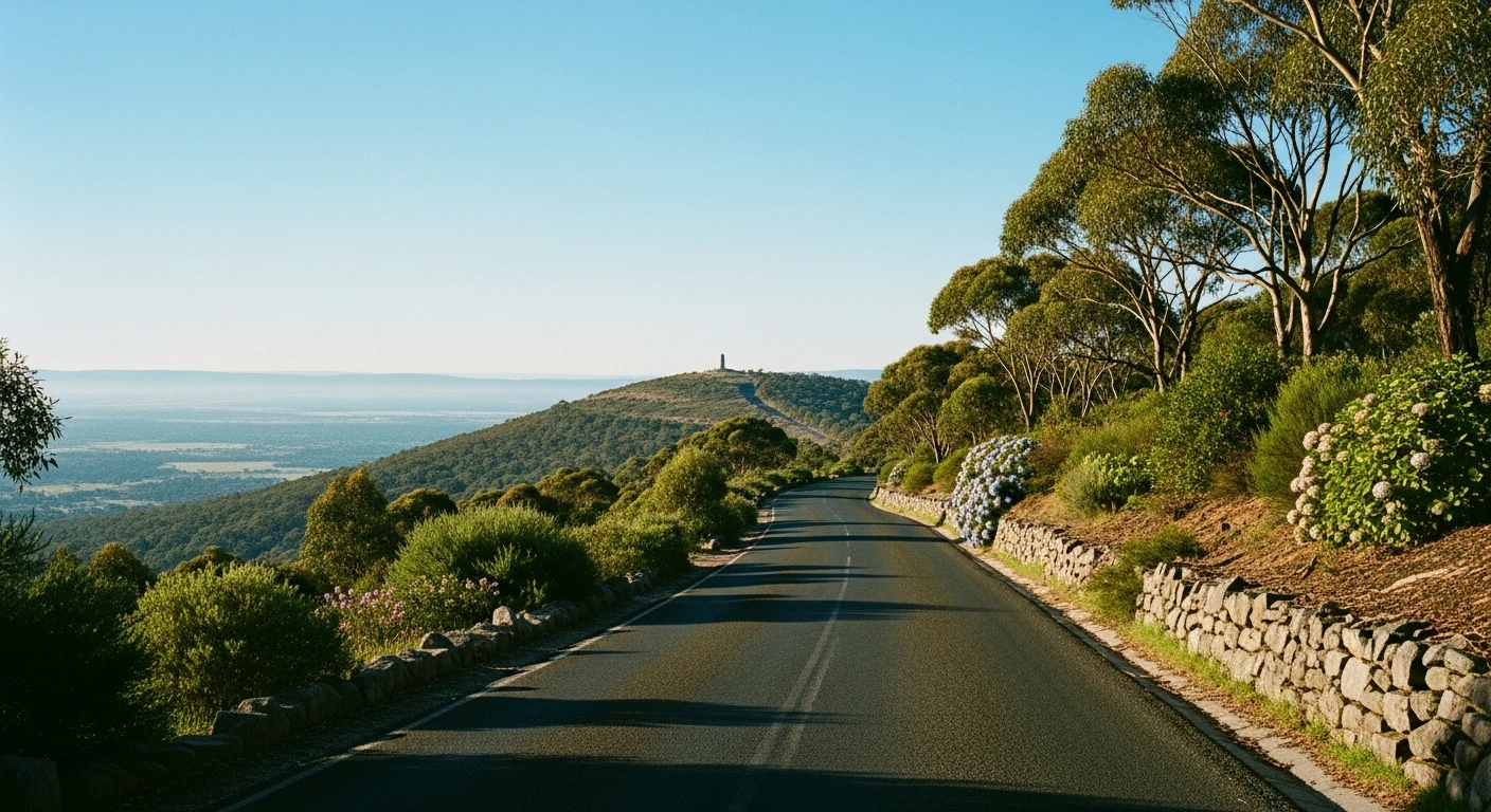
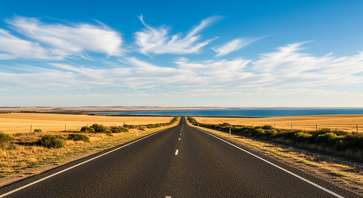
Low-traffic coastal circuit. Ideal for motorbikes - sealed throughout, virtually no trucks, and you never lose sight of the sea.
Scored 6.3/10 by Contour's road quality algorithm across curviness, surface, elevation and traffic. Best suited for motorbike & rally drivers.
The road
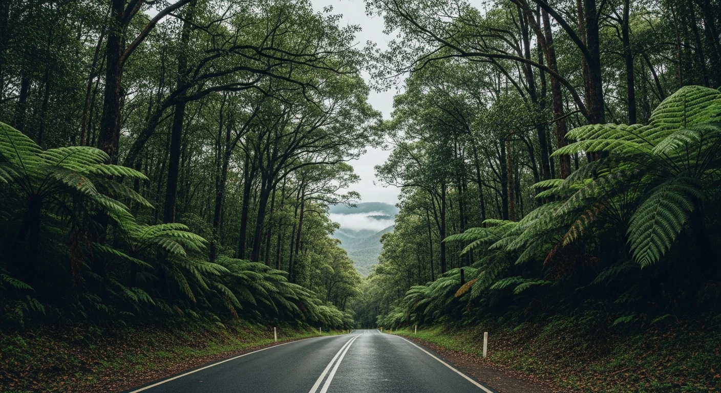
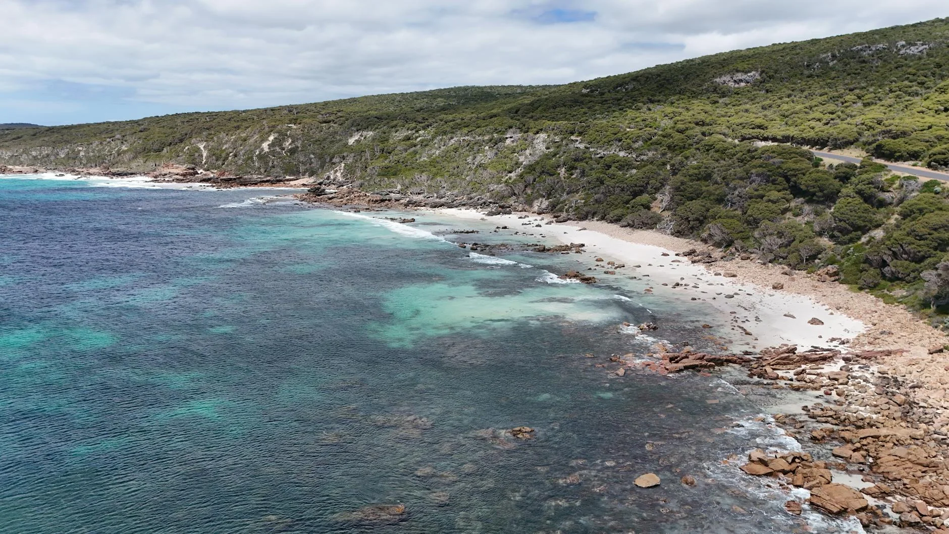
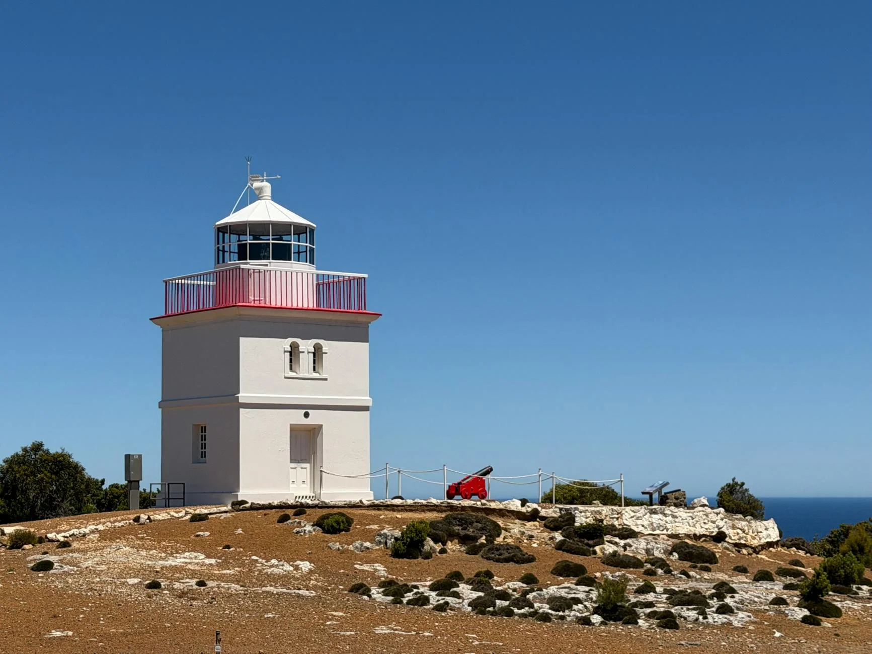
The Yorke Peninsula is South Australia's quiet coastal option - a 130-kilometre loop from the copper-mining town of Kadina along the west coast to Corny Point at the peninsula's tip and back via the eastern shore through Port Victoria. The roads are sealed throughout, the traffic is light year-round and the ocean is visible for most of the route. This is not a technical drive but a proper touring one - consistent horizon, changing coastal character, and enough distance to make a day of it. The copper mining history at Kadina, Moonta and Wallaroo (the so-called Copper Triangle) adds a detour worth an hour. Corny Point itself is a remote lighthouse settlement at the peninsula's end where the Southern Ocean and Gulf St Vincent meet and the wind is a constant presence.
Why this road
The region
The Yorke Peninsula extends 200 kilometres into the Spencer Gulf south of Kadina. The peninsula was settled from the 1840s and the copper mining at Moonta and Wallaroo in the 1860s brought a large Cornish immigrant workforce that left a cultural imprint still visible in the food, architecture and surnames of the area. The southern tip of the peninsula around Innes National Park is largely protected and the coastline is wild.
Before you go
Fuel in Kadina, Maitland and Warooka. Corny Point has no services. The Innes National Park at the southern tip charges a national park entry fee. Good seafood accessible at Port Victoria and Edithburgh. Open year-round.
See a routing error?
Flag itWorth stopping for
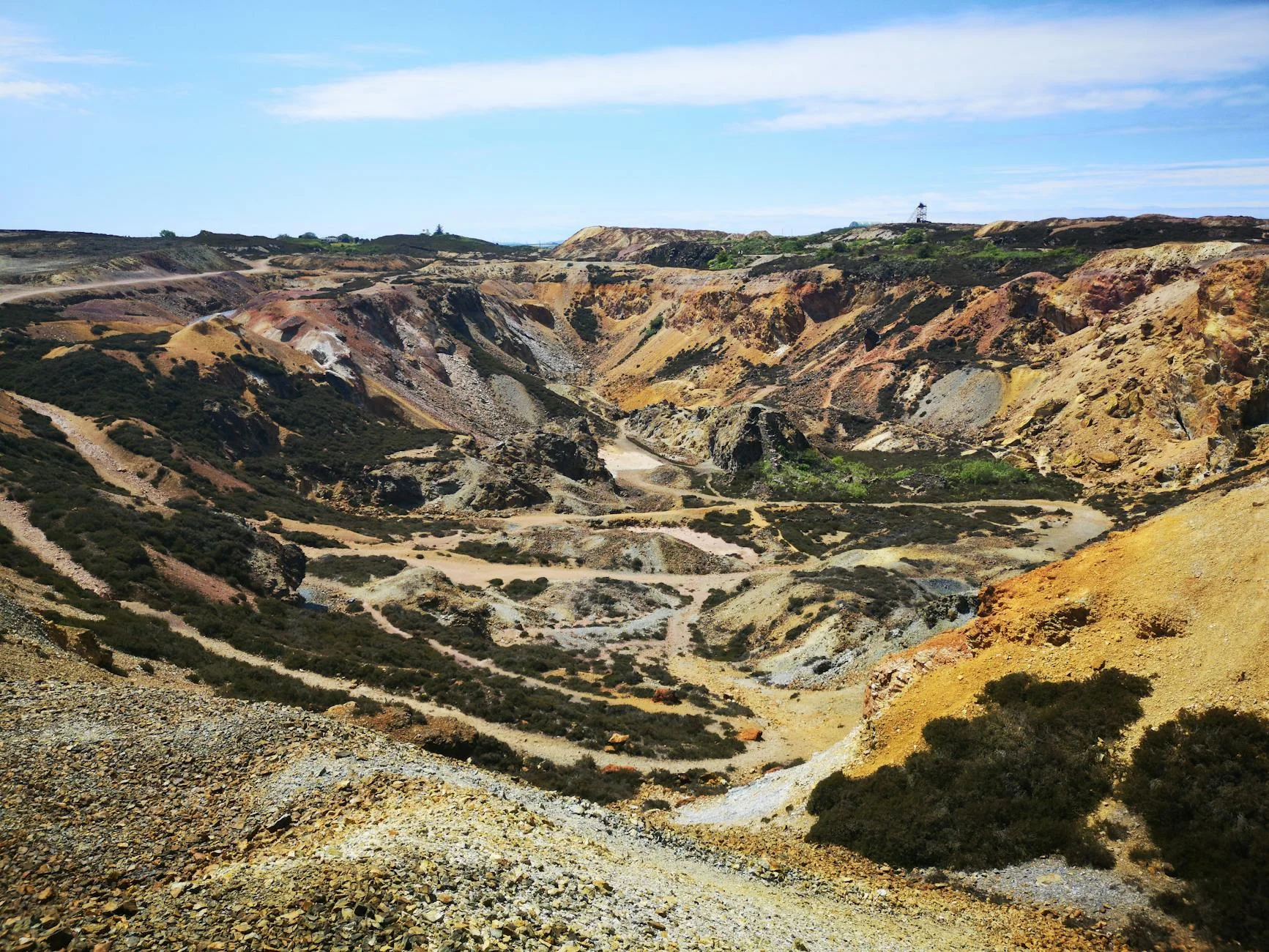
Moonta Mines State Heritage Area
The most significant Cornish mining heritage site in Australia, with engine houses and mine infrastructure preserved at Moonta.
Innes National Park
Wild coastline at the peninsula's southern tip with good surf beaches, shipwrecks and walking tracks.
Route
Start
Kadina
End
Corny Point
Gallery
More roads like this