Wonnangatta Valley
65 km
distance
3h
Contour time
3.8
difficulty
Unsealed
surface
Scenery
Victoria
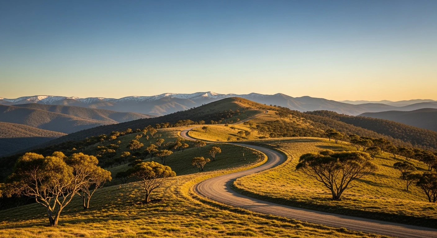
The Alpine National Park covers the Victoria-NSW mountain border and the Wonnangatta valley sits near its western edge....
Road quality
Grade 3.83333333333333
Every segment scored on 40+ data signals.
Accessibility
Fully sealed
Best in 4WD. Peak season: October-May.
7-day forecast
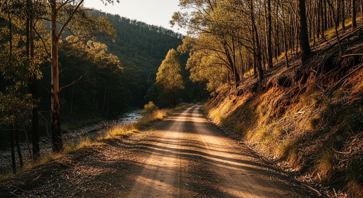
The descent into the Wonnangatta valley is steep and rocky on the upper sections. The river crossings are shallow in summer but rise after rain. Technically accessible to standard 4WDs but the consequences of a breakdown are significant - the valley is 50+ km from the nearest sealed road.
Recommended gear: Hi-lift jack, Recovery boards, Snatch strap, Extra water.
The road
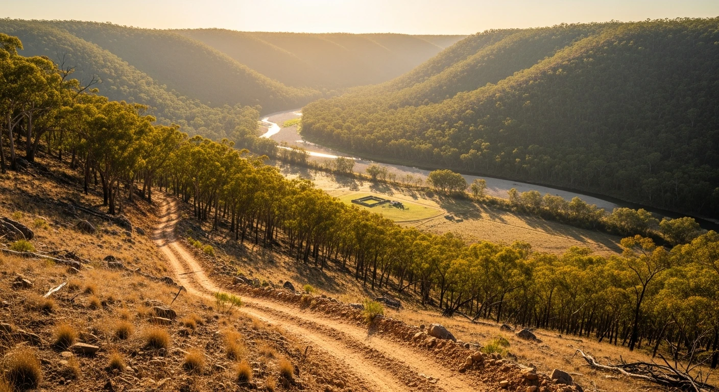
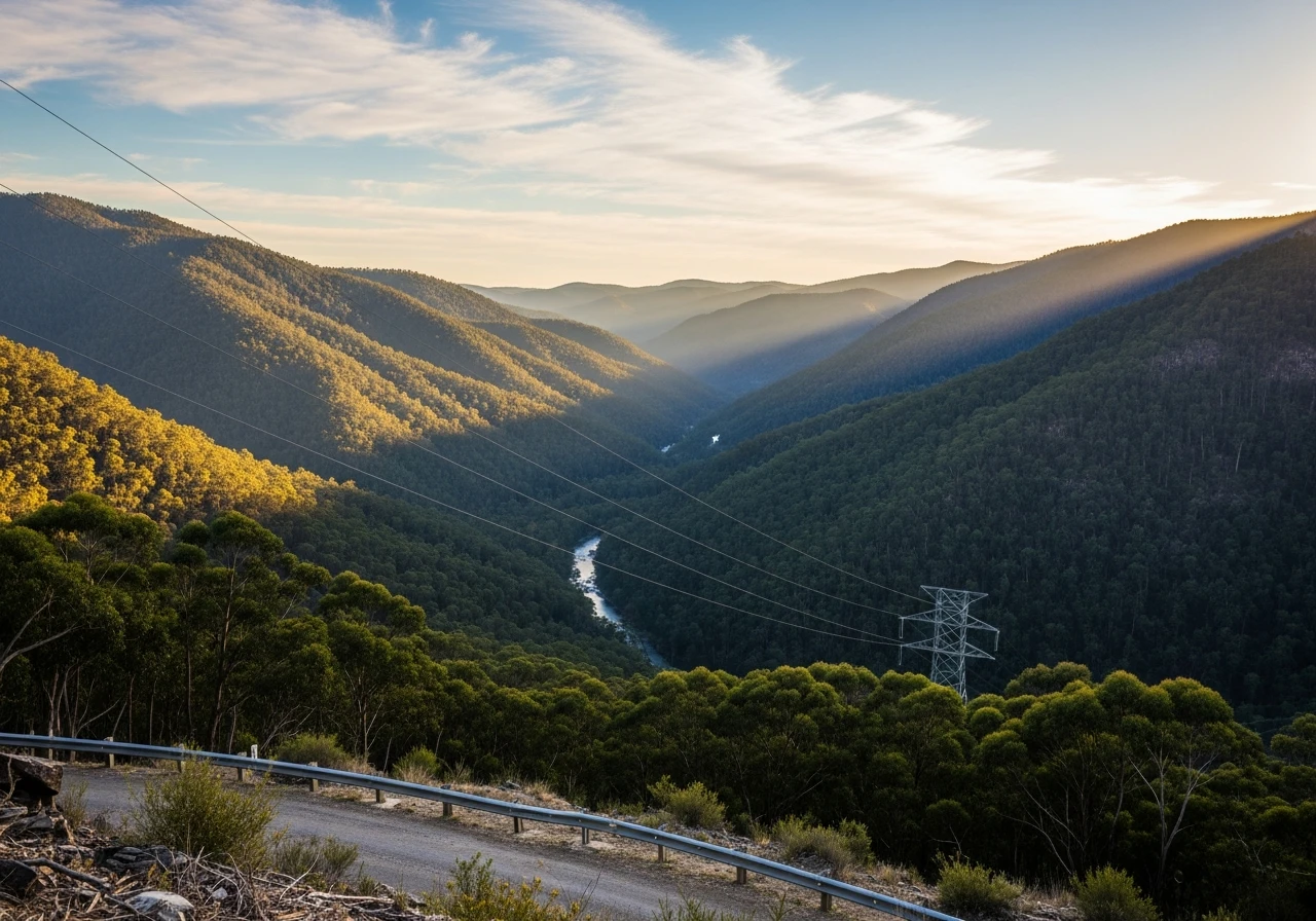
The Wonnangatta River valley is one of the most remote accessible places in Victoria. The journey in from Licola drops steeply through sub-alpine ash into the valley floor - a sudden change from the exposed high country to sheltered river flats with old-growth river red gums. Wonnangatta Station at the valley floor was a cattle station murdered-mystery location in 1918 - the two men who lived there were shot, their bodies not discovered for months, and the case was never solved. The ruins of the station homestead are still visible. The valley is part of the Alpine National Park but the station ruins are an interpretive site. The river crossings in the valley are the main technical challenge - four crossings of the Wonnangatta River, each shallow in summer but rising fast after storms. The track continues north from the station to Crooked River and eventually connects to other High Country routes.
The Wonnangatta River valley is one of the most remote accessible places in Victoria.
Why this road
The region
The Alpine National Park covers the Victoria-NSW mountain border and the Wonnangatta valley sits near its western edge. Licola is a small town at the park's western boundary with a general store, a caravan park and the only fuel for 100km in most directions. The Macalister River valley below Licola is popular for fishing and camping.

Before you go
Fuel in Licola - essential, as there is no fuel in the valley or beyond. No phone coverage in the valley floor. The descent track is single lane with no passing opportunities. Check the creek levels before going in spring and early summer - the snowmelt can make the crossings impassable. Never attempt after heavy rain.
See a routing error?
Flag itWorth stopping for
Licola Store and Pub
The last stop before wilderness - cold drinks, fuel and good information on road conditions from locals who know the country.
Macalister River camping
Good brown trout fishing and established campgrounds on the Macalister below Licola - a natural complement to the Wonnangatta loop.
Route
Start
Licola
End
Wonnangatta Station
Gallery

More roads like this