Theresa Creek Road Loop
19 km
distance
40 min
Contour time
5.3
avg score
Sealed
surface
Scenery
Queensland
The Atherton Tablelands south of Yungaburra is dairy farming country, dairy in the warm tropical sense - green hills,...
Road quality
5.3 RQS
Every segment scored on 40+ data signals.
Accessibility
Fully sealed
Best in Motorbike & Rally. Peak season: April - October.
7-day forecast
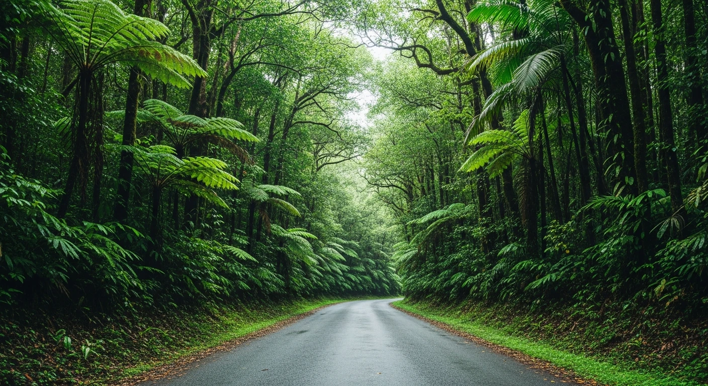
Smooth sealed loop through dense Atherton Tablelands rainforest. The road is narrow with constant camber change and good surface grip. Motorbikes and sports cars thrive here. Avoid during the wet season (Nov-Mar) - the canopy stays slippery for days after rain.
Scored 5.3/10 by Contour's road quality algorithm across curviness, surface, elevation and traffic. Best suited for motorbike & rally drivers.
The road
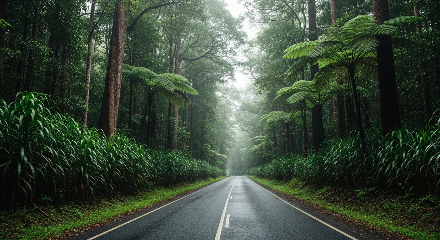
The Millaa Millaa Falls Loop is 16 kilometres of sealed road through dense Atherton Tablelands rainforest that passes three waterfalls without being about the waterfalls. Millaa Millaa, Zillie and Ellinjaa Falls are all accessible from the loop but the road between them is genuinely good driving - narrow, cambered, constantly changing direction through wet tropical forest. The surface is better than expected for a road this size and the traffic through this section is light even in tourist season, because most people stop at the falls car parks rather than using the road as a continuous loop. A motorbike in good condition on a dry May morning with no other traffic is as close to perfect as short drives get in Queensland. The loop starts and ends in the small town of Millaa Millaa, which has a general store, a pie shop and the cleanest dairy milk in Queensland from the local co-op.
The Millaa Millaa Falls Loop is 16 kilometres of sealed road through dense Atherton Tablelands rainforest that passes three waterfalls without being about the waterfalls.
Why this road
The region
The Atherton Tablelands south of Yungaburra is dairy farming country, dairy in the warm tropical sense - green hills, permanent grass, weatherboard farmhouses and dairy co-ops that have been running since the 1920s. Millaa Millaa sits in the middle of this country, a small town that functions as the dairy centre of the southern Tablelands. The rainforest that surrounds the dairy farms is Wet Tropics World Heritage rainforest - some of the oldest on earth, with plant families predating the separation of Gondwana. The falls on the loop drop off the Tablelands edge into the Johnstone River catchment.
Before you go
Fuel at Millaa Millaa. The road is open year-round but wet season rain (November to April) leaves the surface slippery under the canopy for days after each event. The dry season from April to October is the best window. The loop can be driven in either direction - anti-clockwise means the best corner sequences come first. Each waterfall has a small car park and a short walk. Allow an hour for the loop including stops.
See a routing error?
Flag itWorth stopping for
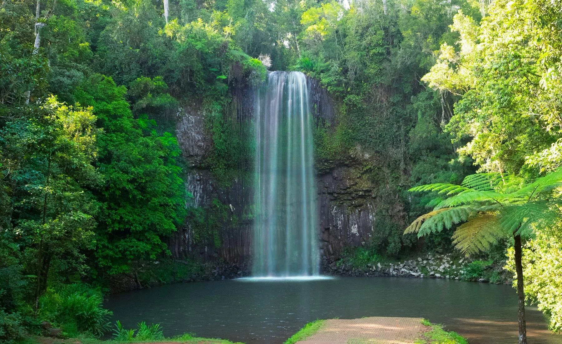
Millaa Millaa Falls
The most photogenic waterfall on the loop, with a crescent-shaped plunge pool that is warm enough to swim in - the most-photographed waterfall in Queensland.
Mungalli Creek Dairy Cafe
A working organic dairy on the road between Millaa Millaa and Malanda with genuinely good ice cream and cheese - the kind of place that becomes a return destination.
Route
Start
Millaa Millaa
End
Ellinjaa Falls
More roads like this