38 km
distance
42 min
Contour time
7.5
avg score
Sealed
surface
Scenery
Tasmania
The stage runs through the northwest highlands between Sheffield and Moina, crossing the Mersey-Forth hydroelectric...
Road quality
7.5 RQS
Strong. Above average on most quality signals.
Accessibility
Fully sealed
Best in Sports car. Peak season: Year-round.
7-day forecast
Demands concentration over the full 38 km. Sports car and motorbike rewarding throughout. The variety of corner types tests every skill you have.
Scored 7.5/10 by Contour's road quality algorithm across curviness, surface, elevation and traffic. Best suited for sports car drivers.
The road
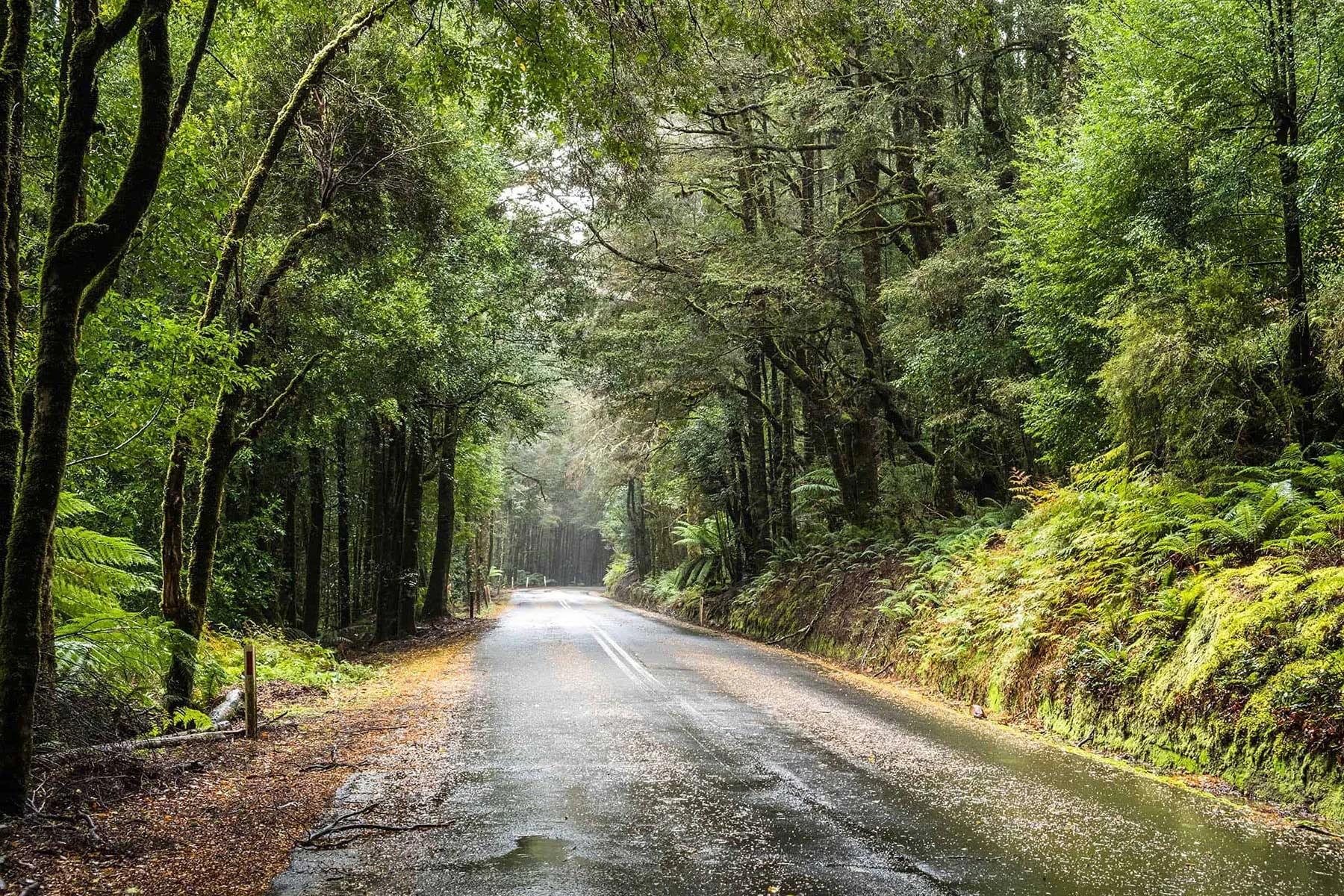
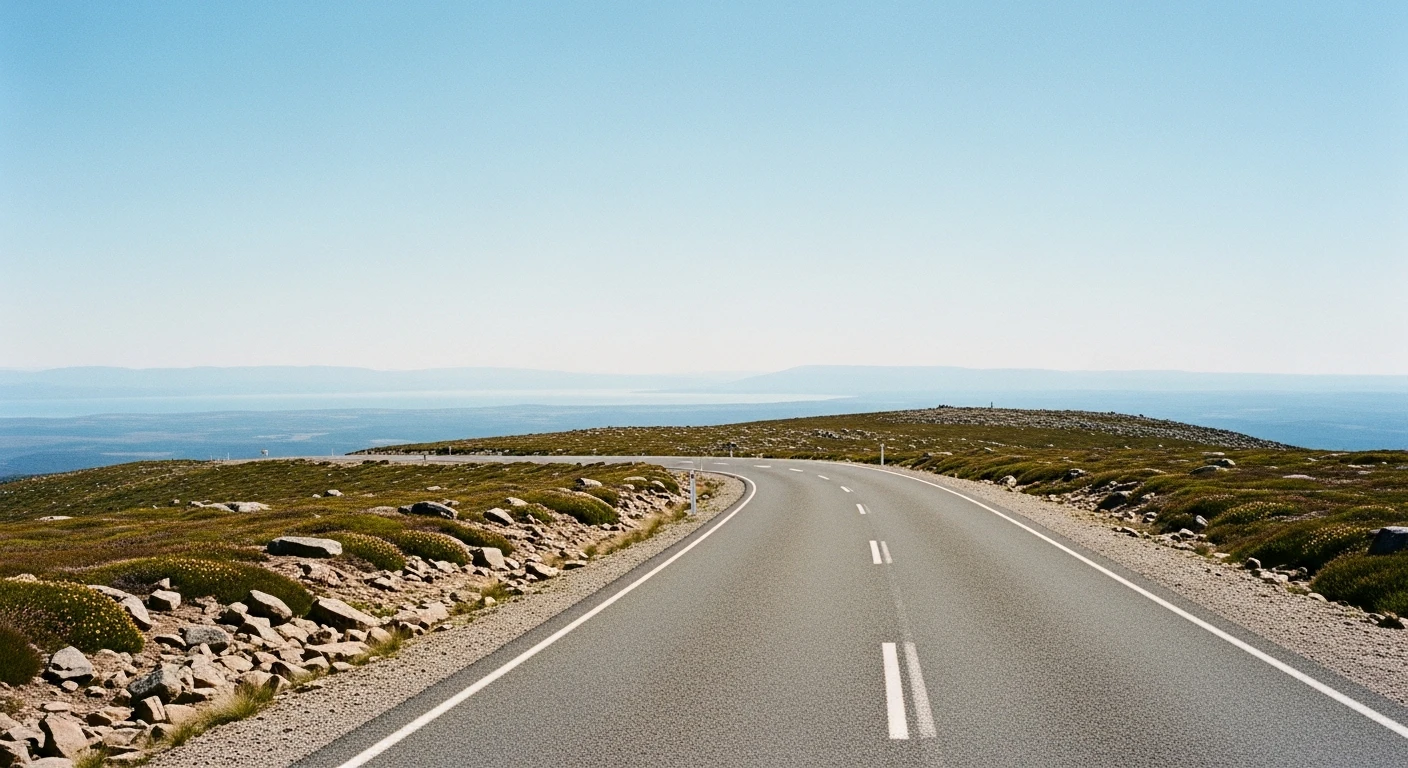
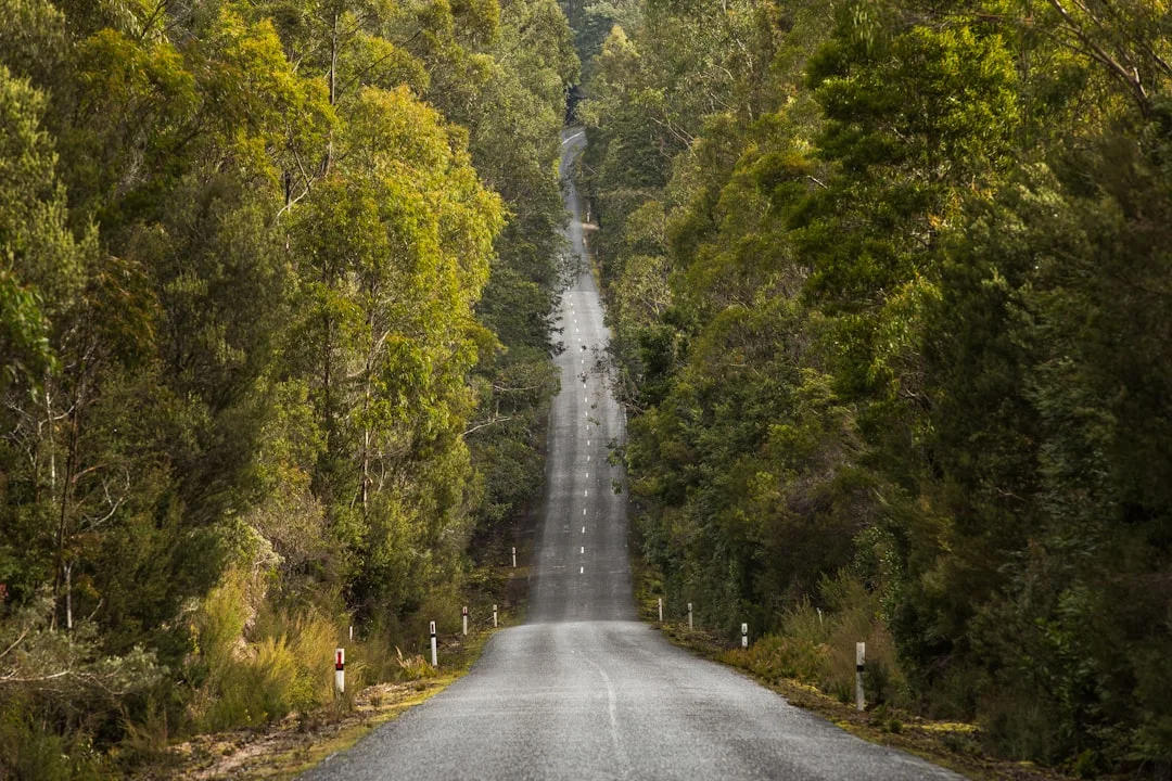
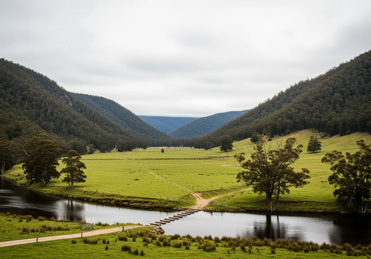
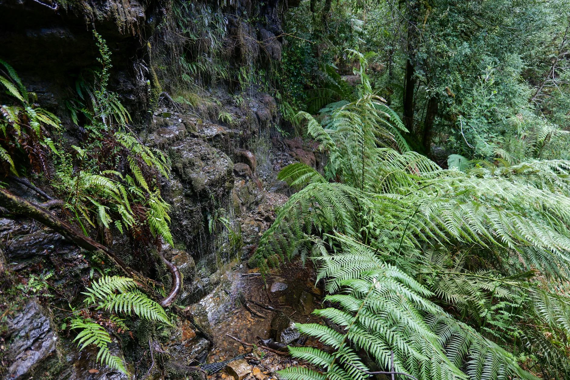
Cethana is considered one of the best long sections of tarmac road in the world, and the longest stage of the day in Targa Tasmania. The 38-kilometre route winds through crests and dips, crosses the Mersey River, then enters a twisty climb opening out to a fast section on the plateau before an undulating run through many difficult corners and a steep descent into the Forth Valley, finishing at Moina. The variety is what makes Cethana special. No two kilometres feel the same. The river crossing section has a different rhythm to the plateau, which has a different rhythm to the descent. The elevation ranges from 156 m to 740 m. Drivers who can read and adapt to each section quickly will be fast here. Drivers who try to carry one approach through the whole stage will not.
Cethana is considered one of the best long sections of tarmac road in the world, and the longest stage of the day in Targa Tasmania.
Why this road
The region
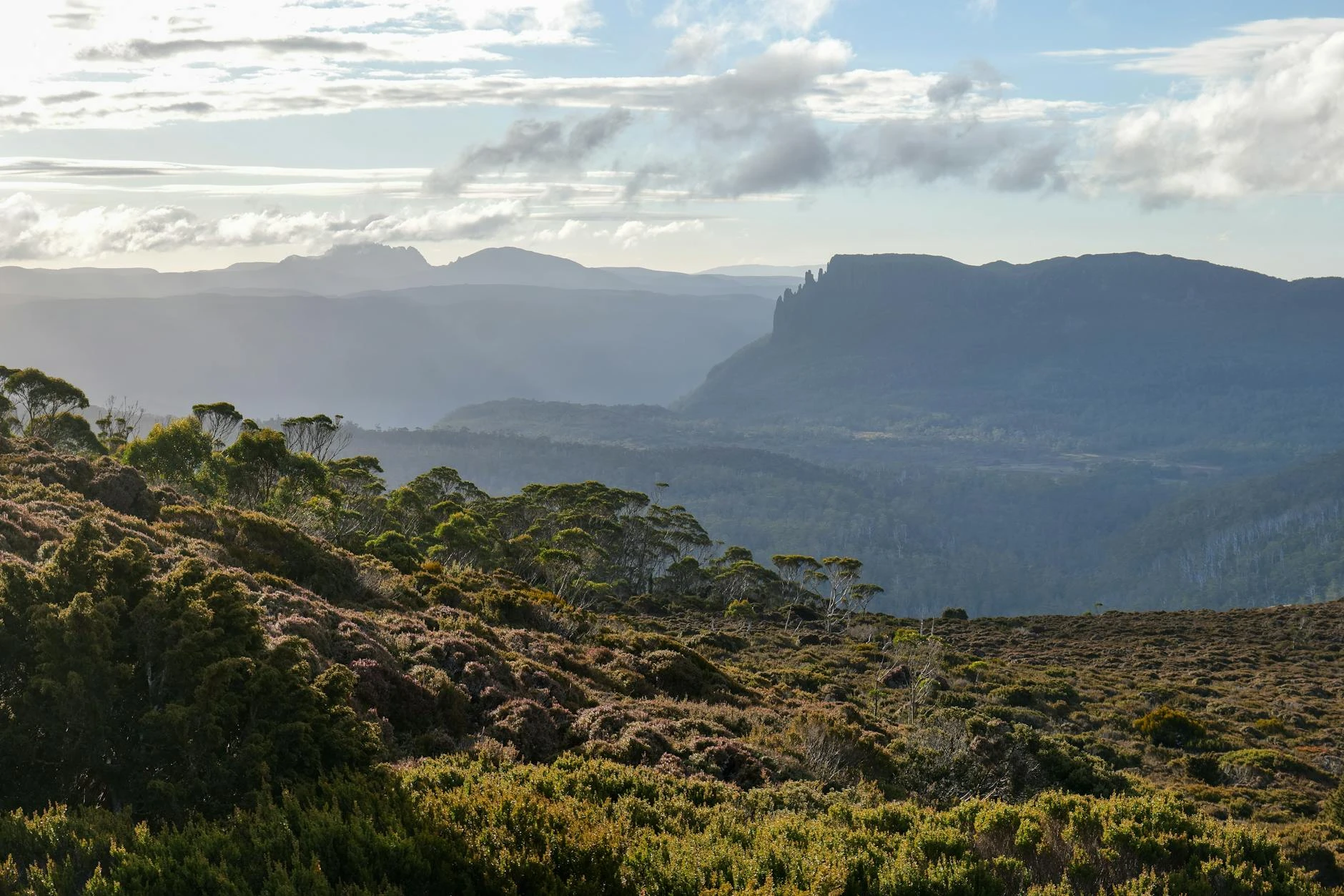
The stage runs through the northwest highlands between Sheffield and Moina, crossing the Mersey-Forth hydroelectric catchment. The Forth Valley is one of the productive agricultural areas of the northwest. Lake Cethana is part of the Mersey-Forth hydro scheme. The surrounding terrain ranges from cleared farming country to dense eucalypt forest on the plateau sections.
Before you go
Fuel in Sheffield or Devonport before the stage. The road is maintained for hydro access and is generally in good condition. The plateau section can be foggy. Allow time - 38 km of varied terrain is a proper commitment.
See a routing error?
Flag itWorth stopping for
Leven Canyon
Dramatic gorge cut by the Leven River, accessible via a short walk from the lookout carpark, 20 minutes from Moina.
Sheffield Murals
Over 60 murals on building facades throughout the town at the stage start area.
Route
Start
Near Sheffield
End
Moina
Gallery
More roads like this