Hellyer Gorge
34 km
distance
30 min
Contour time
8.5
avg score
Sealed
surface
Scenery
Tasmania
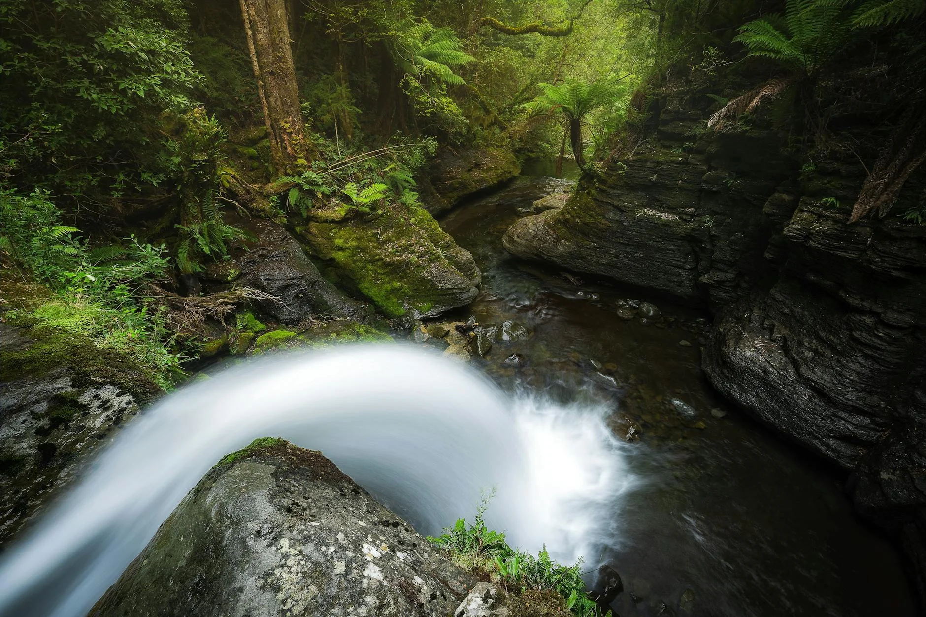
The Hellyer River flows north from the central highlands to the Bass Strait coast near Burnie. The gorge it has carved...
Road quality
8.5 RQS
Exceptional. Consistently high curviness, surface, and low traffic.
Accessibility
Fully sealed
Best in Sports car. Peak season: Year-round.
7-day forecast
Fast and flowing when you have the rhythm. Motorbike is excellent here - the surface is smooth in the mid-section. Be prepared for a wet surface at any time of year.
Scored 8.5/10 by Contour's road quality algorithm across curviness, surface, elevation and traffic. Best suited for sports car drivers.
The road
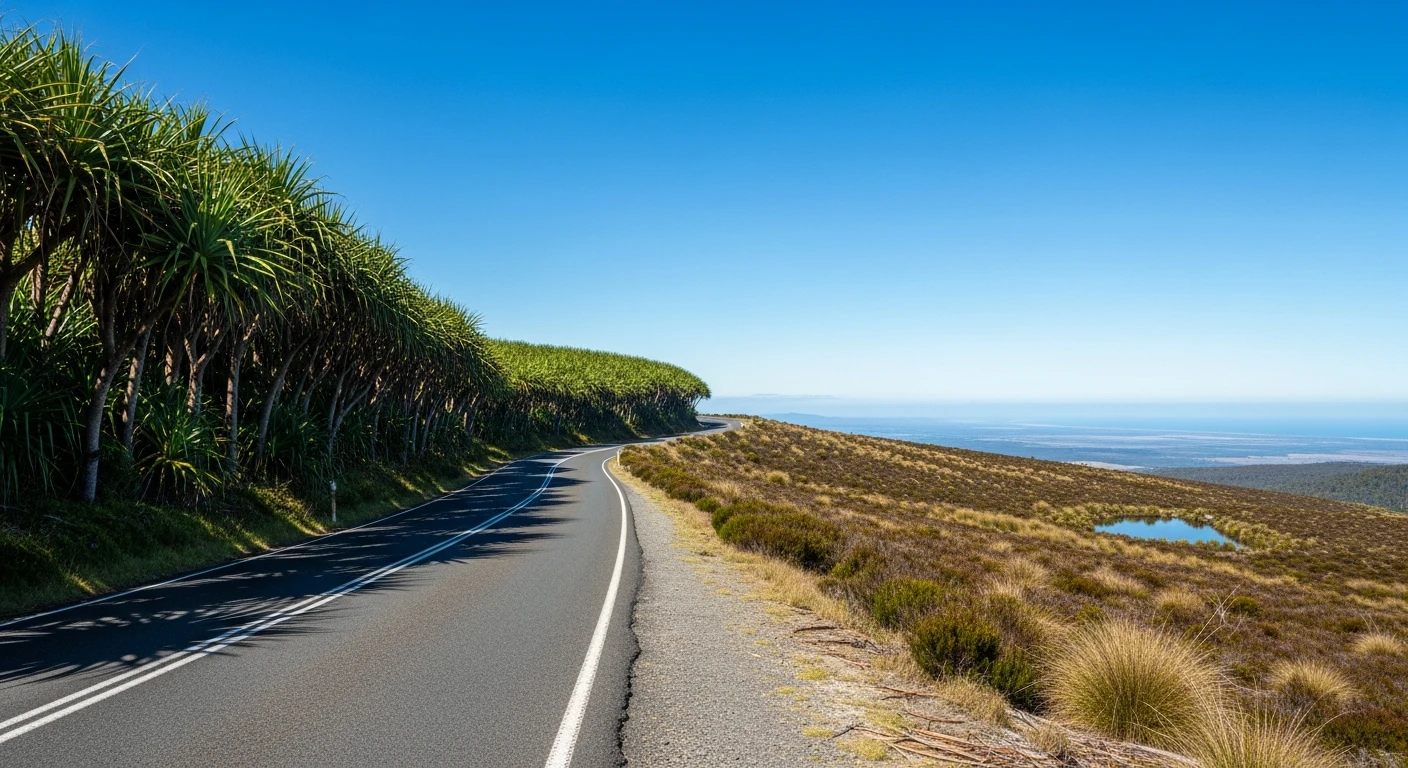
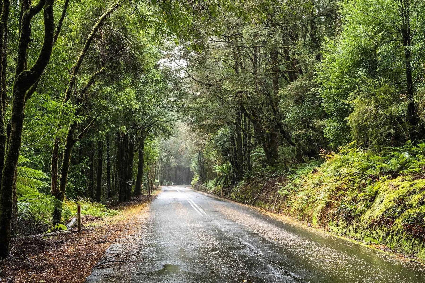
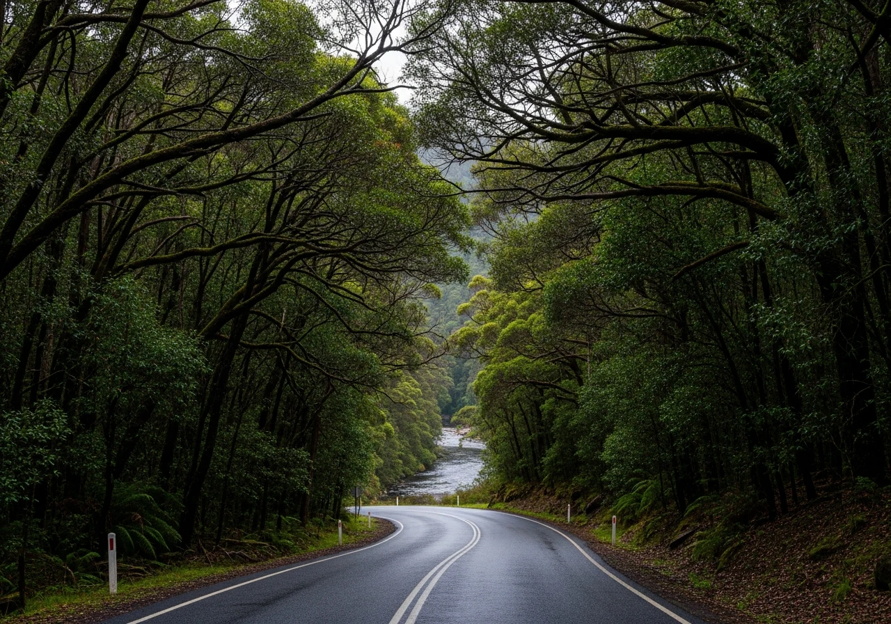
The Hellyer Gorge stage runs along the Murchison Highway (A10) south of Burnie, dropping into the gorge cut by the Hellyer River through the Western Tiers. The road follows the river closely, the canopy closes in from both sides, and the result is a tunnel of green with enough width for committed driving but enough enclosure to feel genuinely isolated. The character shifts as the road descends. The upper approach is undulating and gentle, then the surface changes to smooth tarmac as it winds downhill to the bottom of the gorge and twists up the other side to the plateau. The road is almost guaranteed to be wet and slippery - if not for its entire length, then on many of the bends. The gorge is part of the Tarkine wilderness, one of the largest temperate rainforests in the southern hemisphere.
The Hellyer Gorge stage runs along the Murchison Highway (A10) south of Burnie, dropping into the gorge cut by the Hellyer River through the Western Tiers.
Why this road
The region
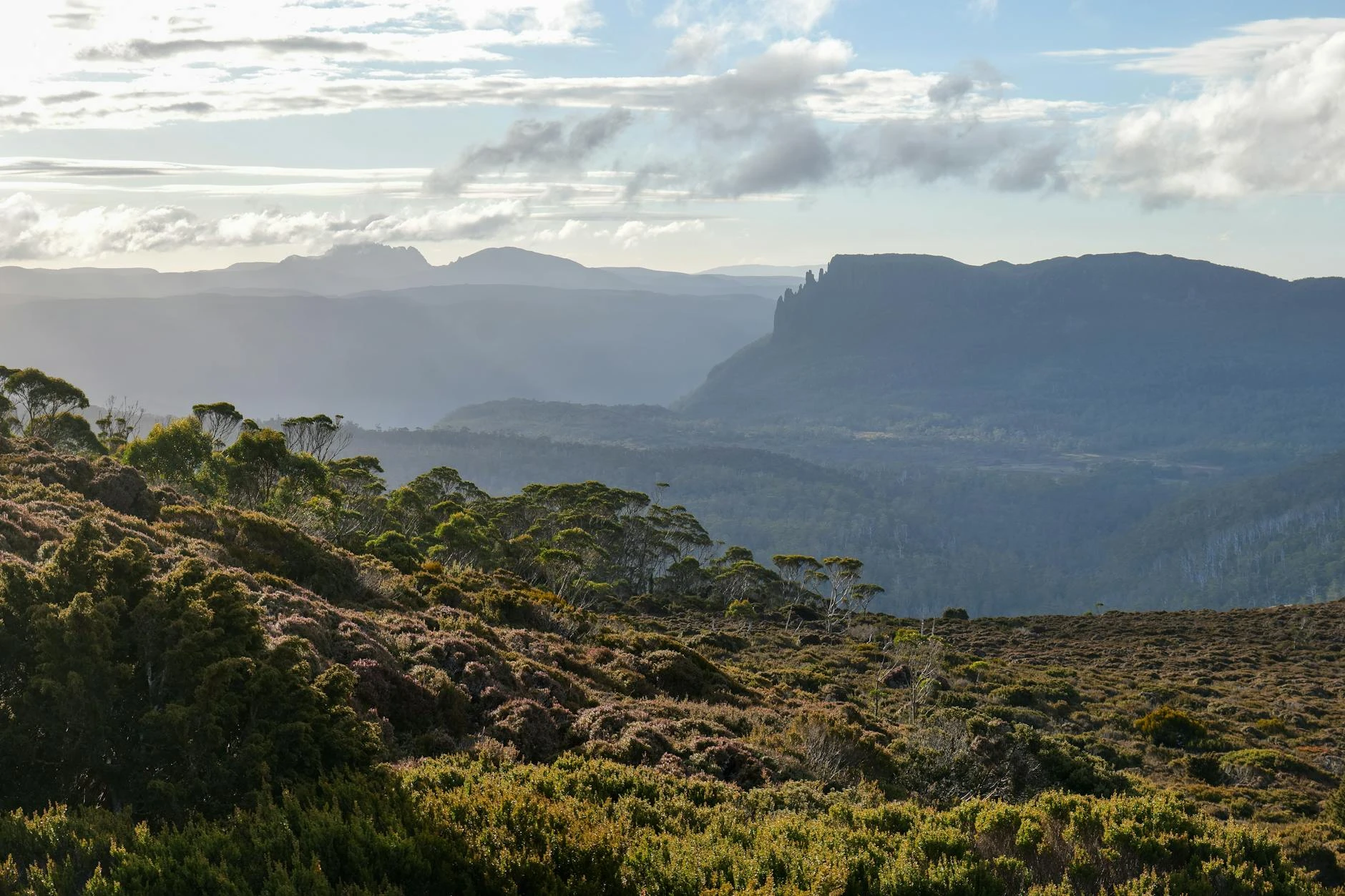
The Hellyer River flows north from the central highlands to the Bass Strait coast near Burnie. The gorge it has carved is part of the Tarkine wilderness area. The vegetation on the gorge walls is myrtle beech and sassafras with a dense understorey - it is dark even on bright days. The Murchison Highway runs 147 km from Somerset (near Burnie) to Zeehan.
Before you go
Fuel in Burnie or Somerset before departure. The gorge section can be wet and slippery at any time - allow for reduced grip. The picnic area at the gorge has short walking tracks along the river. Hellyer Gorge is 52 km south of Burnie on the Murchison Highway.
See a routing error?
Flag itWorth stopping for
Hellyer Gorge Picnic Area
Short walking tracks along the river at the bottom of the gorge.
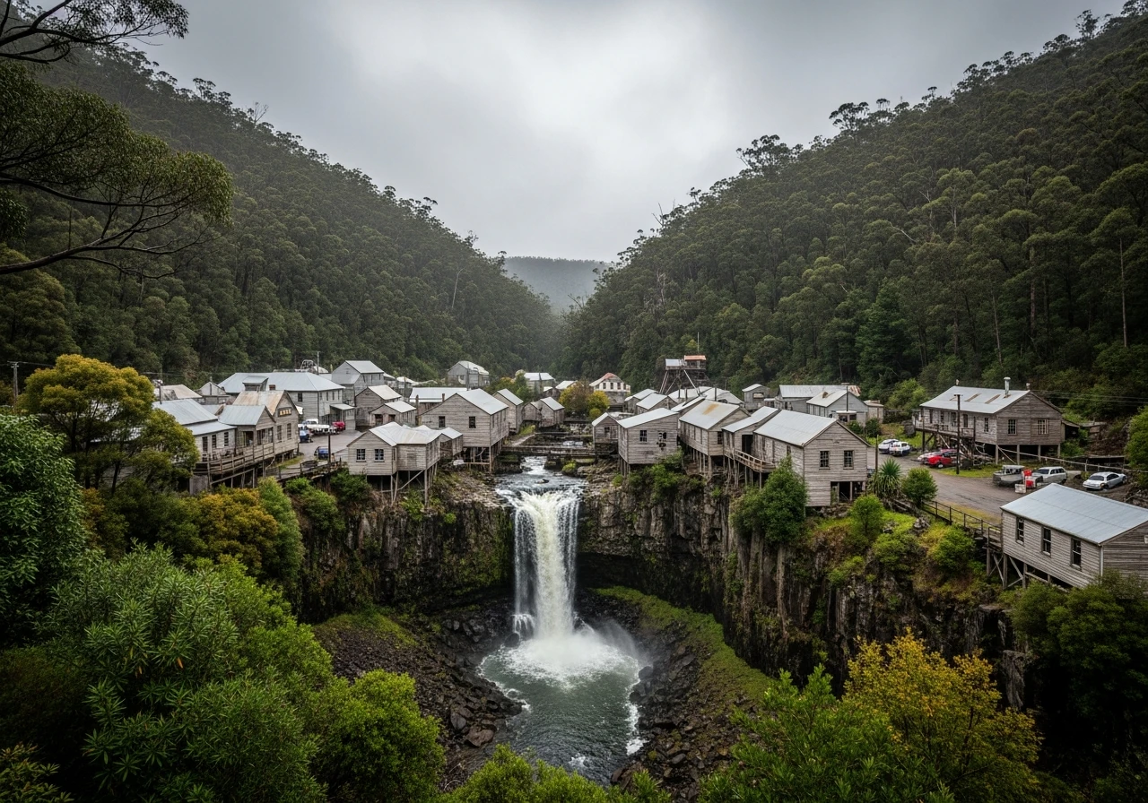
Waratah
Historic mining town 15 minutes south of the gorge, with the waterfall in the centre of town.
Route
Start
Murchison Highway (north)
End
Hellyer Gorge
Gallery
More roads like this