Little Mulgrave
13 km
distance
25 min
Contour time
8.0
avg score
Sealed
surface
Scenery
Queensland
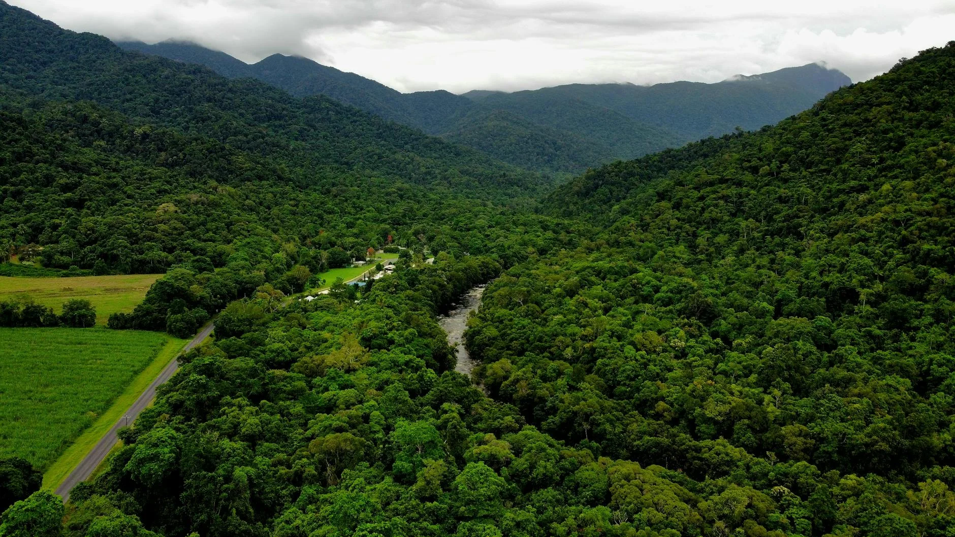
Gordonvale is a small sugar town south of Cairns at the base of the Mulgrave Valley. The valley was settled for sugar...
Road quality
8.0 RQS
Strong. Above average on most quality signals.
Accessibility
Fully sealed
Best in Sports car. Peak season: Apr-Oct.
7-day forecast
Tighter and more technical than the Palmerston stage. Sports car and motorbike best. Drive it on a weekday morning to avoid the cane trucks on the lower section.
Scored 8.0/10 by Contour's road quality algorithm across curviness, surface, elevation and traffic. Best suited for sports car drivers.
The road
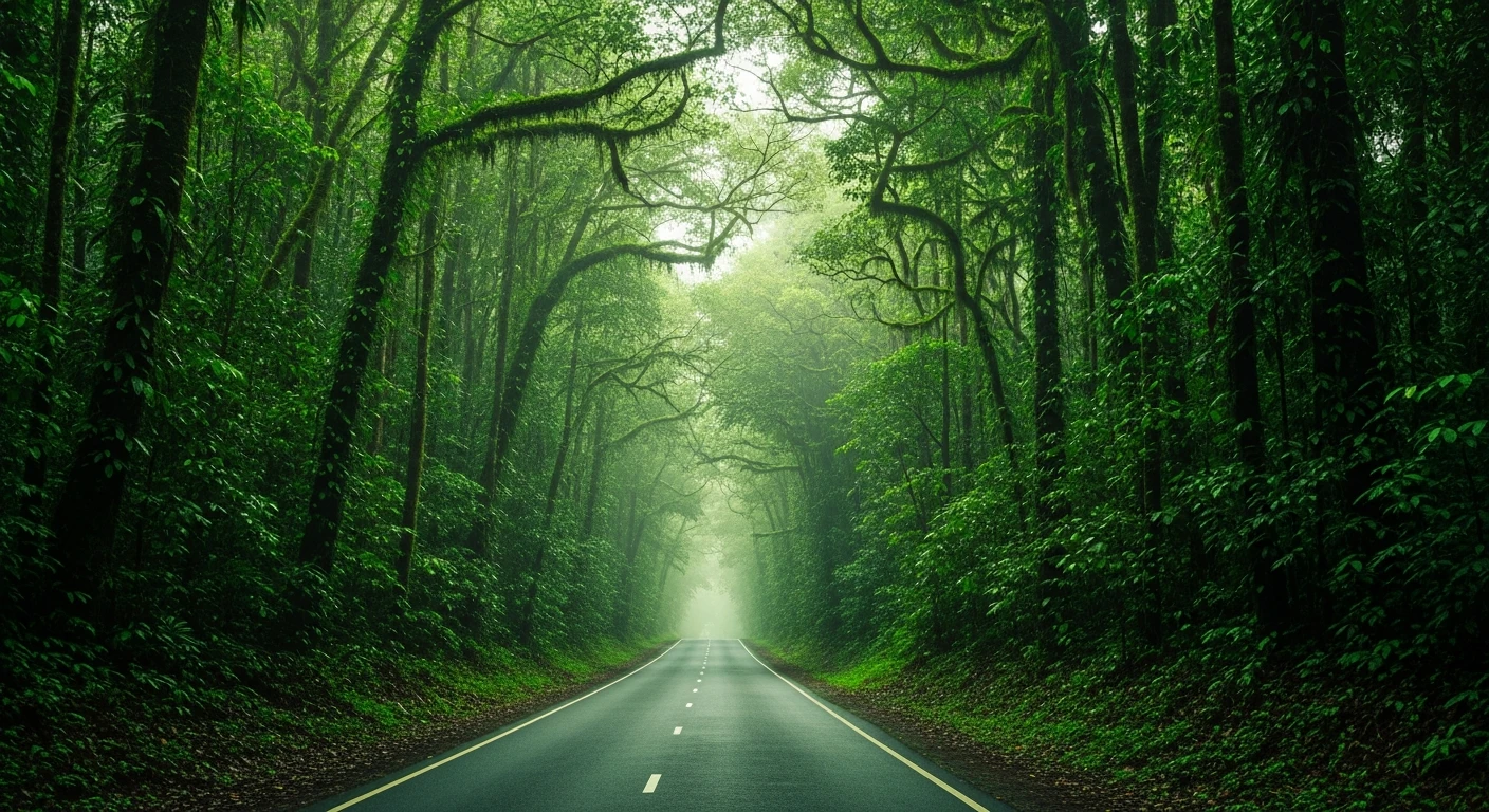
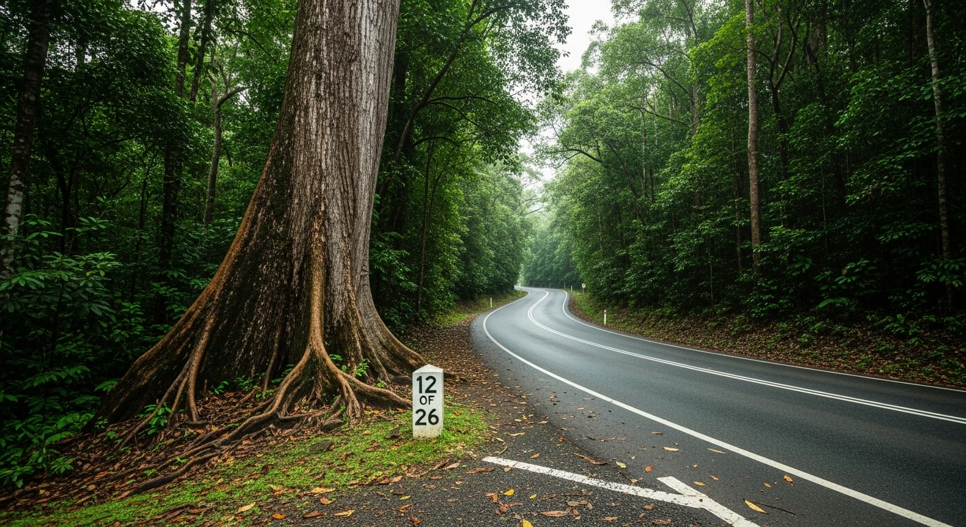
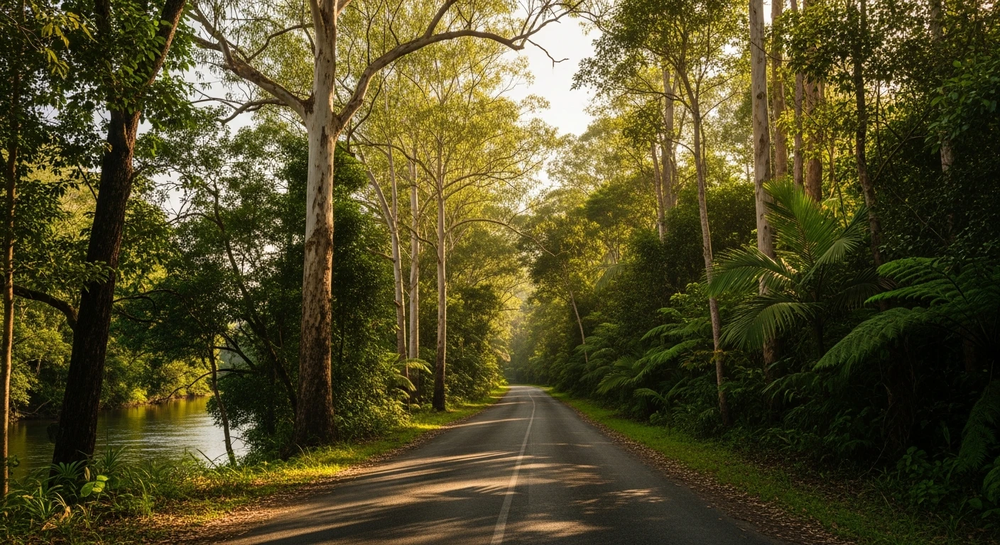
A valley stage climbing from the Cairns coastal plain into the foothills west of Gordonvale along the Gillies Range Road. The 19-kilometre route follows the Little Mulgrave River valley through sugarcane country on the lower section before climbing into tropical rainforest on the upper approach to the range. The Targa Great Barrier Reef rally ran this as the Little Mulgrave stage at 19.47 km - matching the touring route closely. The road is tighter and more technical than the Palmerston stage but lacks the drama of the big descent. This is a finesse stage that rewards drivers who read the road rather than those who rely on speed. The transition from agricultural flatlands to rainforest happens at around the halfway point and the change in road character follows it. The lower section is wide and fast through the cane fields; the upper section narrows and the sightlines shorten as the forest closes in.
A valley stage climbing from the Cairns coastal plain into the foothills west of Gordonvale along the Gillies Range Road.
Why this road
The region
Gordonvale is a small sugar town south of Cairns at the base of the Mulgrave Valley. The valley was settled for sugar production in the 1880s and the mill at Gordonvale is still operating. The Little Mulgrave River rises on the eastern face of the Bellenden Ker Range and flows north through the valley to join the Mulgrave River near the coast.

Before you go
Fuel in Gordonvale. Cane trucks operate on the lower section during crushing season - typically June to December. Drive early morning on weekdays for lightest traffic. The upper rainforest section can be wet even in the dry season.
See a routing error?
Flag itWorth stopping for
Gordonvale Sugar Mill
One of the original Cairns region sugar mills, visible from the main road through town.
Bartle Frere Summit Track
The approach to Queensland's highest peak starts from near the stage end - a full-day alpine walk above the rainforest.
Route
Start
Gordonvale
End
Little Mulgrave
Gallery
More roads like this