Gillies Range Road
19 km
distance
28 min
Contour time
4.9
avg score
Sealed
surface
Scenery
Queensland
The Atherton Tablelands is the agricultural hinterland of Cairns, a fertile volcanic plateau at 700-900 metres that...
Road quality
4.9 RQS
Every segment scored on 40+ data signals.
Accessibility
Fully sealed
Best in Sports car. Peak season: May-Nov.
7-day forecast
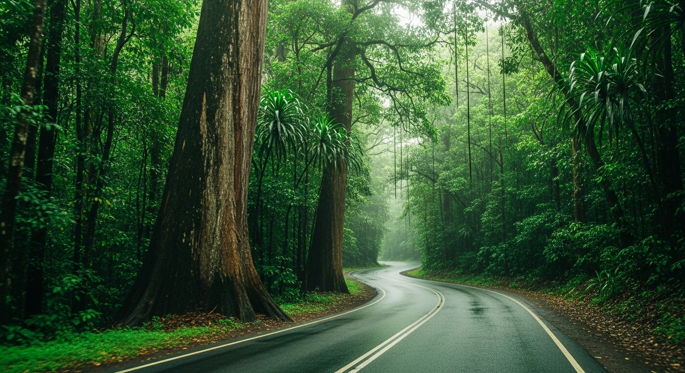
Outstanding sports car and motorbike road. Best driven in dry conditions - the surface becomes very slippery in rain. Wet season (Dec-Apr) can make the upper section treacherous.
Scored 4.9/10 by Contour's road quality algorithm across curviness, surface, elevation and traffic. Best suited for sports car drivers.
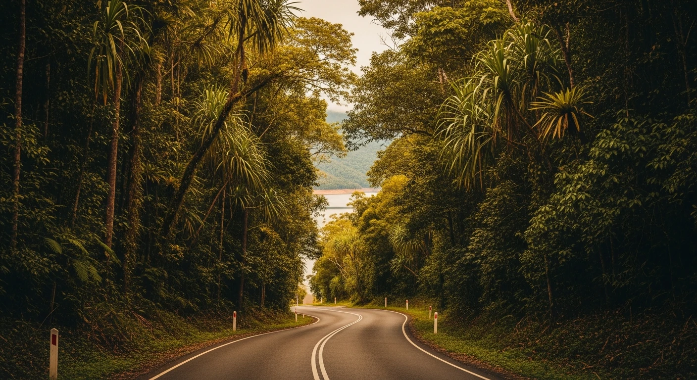
The road
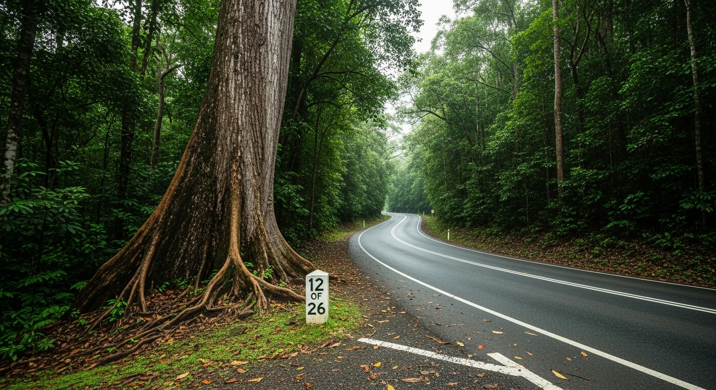
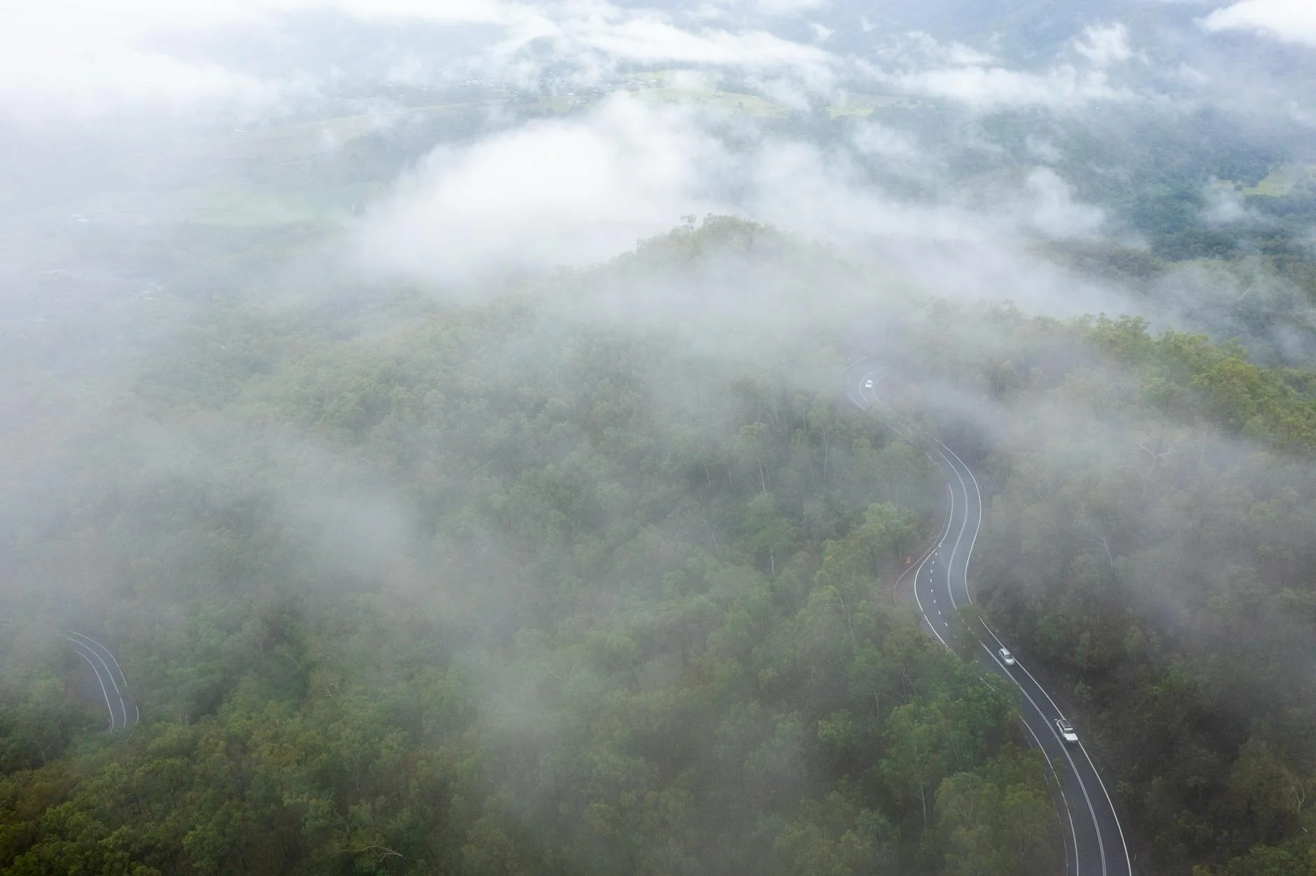
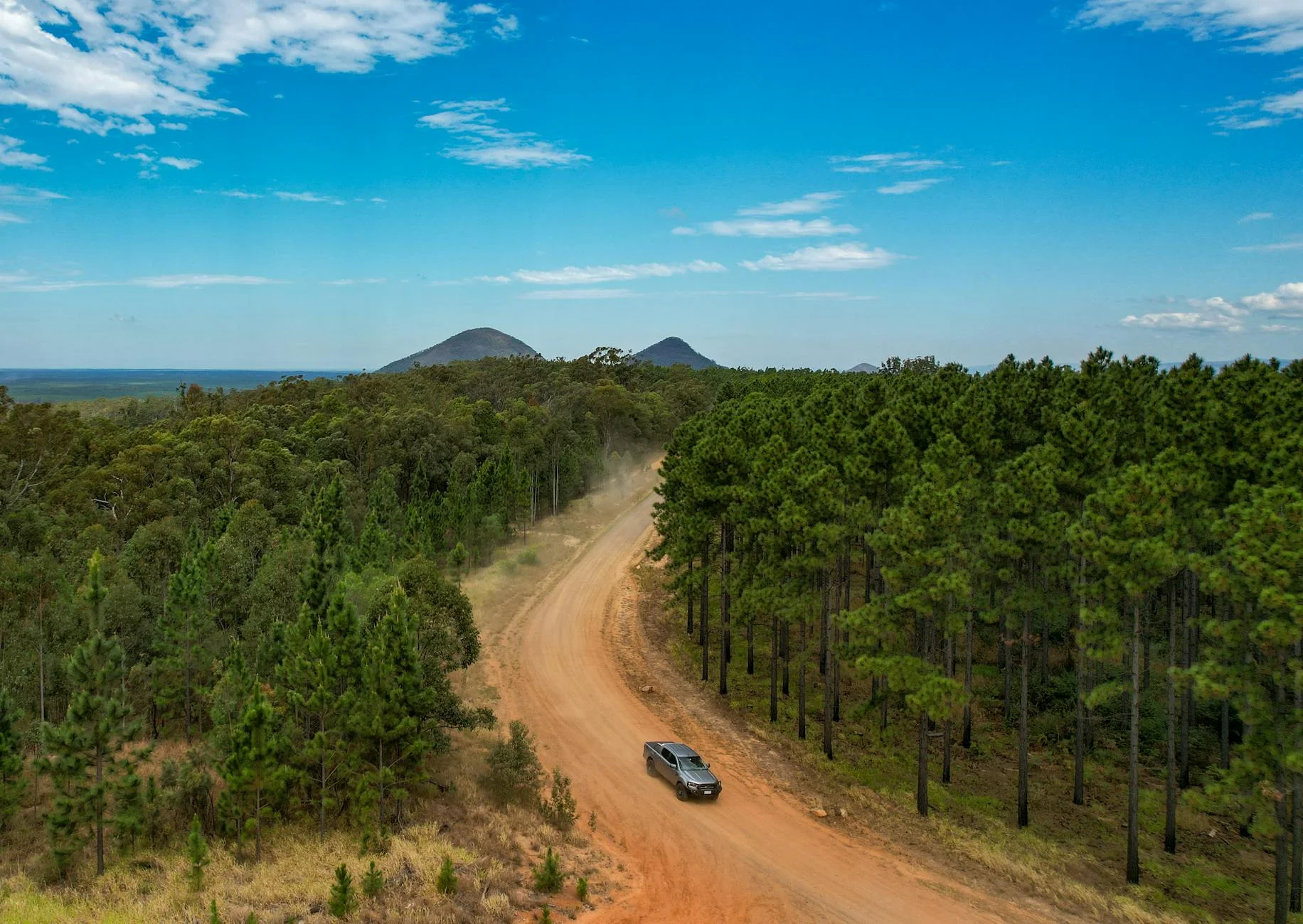
The Gillies Highway from Gordonvale to Yungaburra is the benchmark mountain road in Far North Queensland. The 263 curves in 19 kilometres is a frequently cited statistic, and it is accurate - the road climbs 800 metres from near sea level to the Atherton Tablelands using essentially every metre of available gradient. The bends stack against each other in a sequence that demands continuous attention from bottom to top. The road was built in the 1920s to connect the Atherton Tablelands farming country to the Cairns port and it has barely changed in character since. The original surveying used the natural landforms wherever possible, which means the corners follow the terrain rather than the engineer's compass. This gives the road a naturalness that contrasts with the purpose-built switchbacks of other Queensland mountain passes. The Targa Great Barrier Reef rally has used the Gillies Range as one of its signature stages at 19.47 km. It is the longest climbing stage in the FNQ collection and the one that sets the standard for the rest.
The Gillies Highway from Gordonvale to Yungaburra is the benchmark mountain road in Far North Queensland.
Why this road
The region
The Atherton Tablelands is the agricultural hinterland of Cairns, a fertile volcanic plateau at 700-900 metres that produces dairy, tropical fruit, and coffee. The tablelands are accessible from Cairns via three main routes - the Gillies, the Palmerston, and the Kennedy - each with different character.
History
The Gillies Highway officially opened on 10 July 1926, connecting the agricultural tablelands to the coast. Before it opened, all goods moved via the Cairns-Kuranda railway. It transformed the region - Cairns residents could reach the Atherton Tablelands in two and a half hours for the first time.
Before you go
Fuel in Gordonvale. The descent from Yungaburra is just as technical as the climb from Gordonvale - plan the drive to do both. Wet season driving is strongly discouraged - the road drainage cannot handle heavy rain and the surface becomes treacherous.
See a routing error?
Flag itWorth stopping for
Millaa Millaa Falls
30 minutes from Yungaburra, part of the famous Waterfall Circuit through the tablelands rainforest.
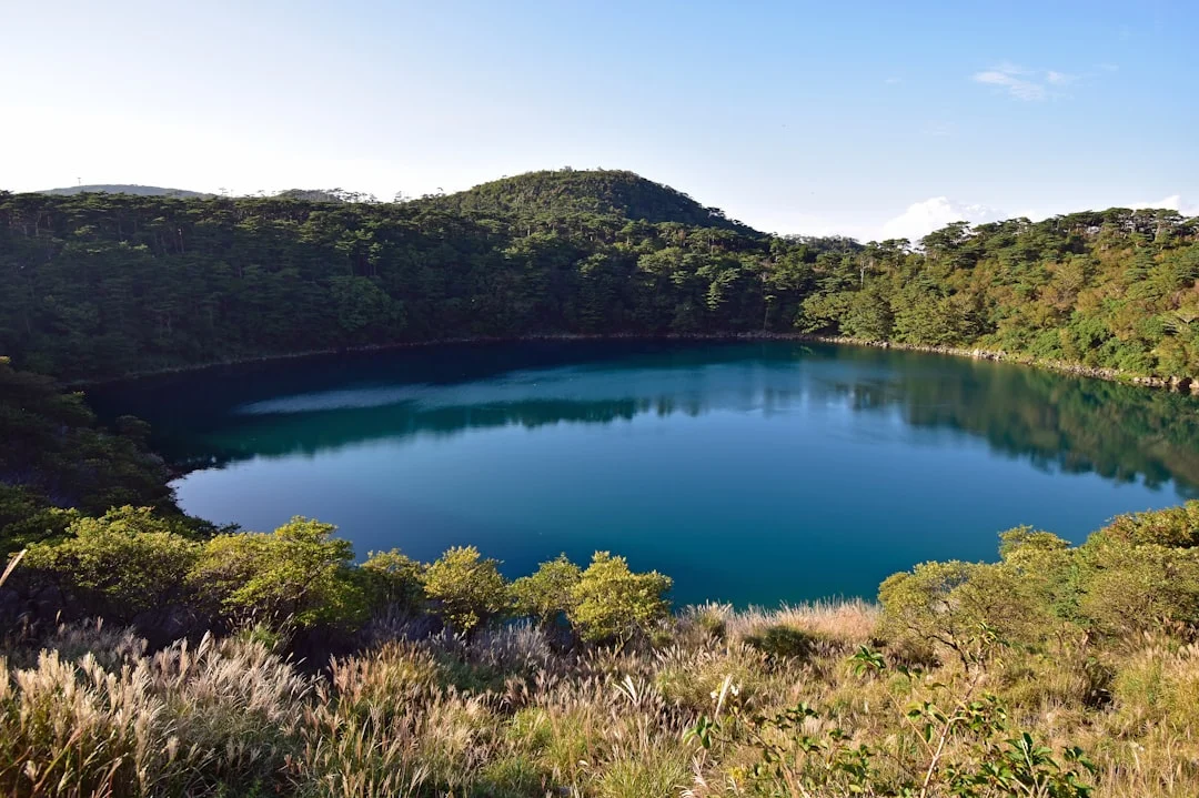
Lake Barrine
Volcanic crater lake accessible from the tablelands, with a walk around the perimeter and tea rooms on the shore.
Route
Start
Little Mulgrave (range base)
End
Lake Barrine junction
Gallery
More roads like this