Lake Morris Road
16 km
distance
25 min
Contour time
4.6
avg score
Sealed
surface
Scenery
Queensland
Cairns is the gateway city for tropical Far North Queensland, with a population of around 160,000 and a climate...
Road quality
4.6 RQS
Every segment scored on 40+ data signals.
Accessibility
Fully sealed
Best in Sports car. Peak season: May-Nov.
7-day forecast
Short and technical. Best suited to sports cars and motorbikes. The upper section near the reservoir is very narrow - not suitable for large vehicles. No caravans or coaches permitted.
Scored 4.6/10 by Contour's road quality algorithm across curviness, surface, elevation and traffic. Best suited for sports car drivers.
The road
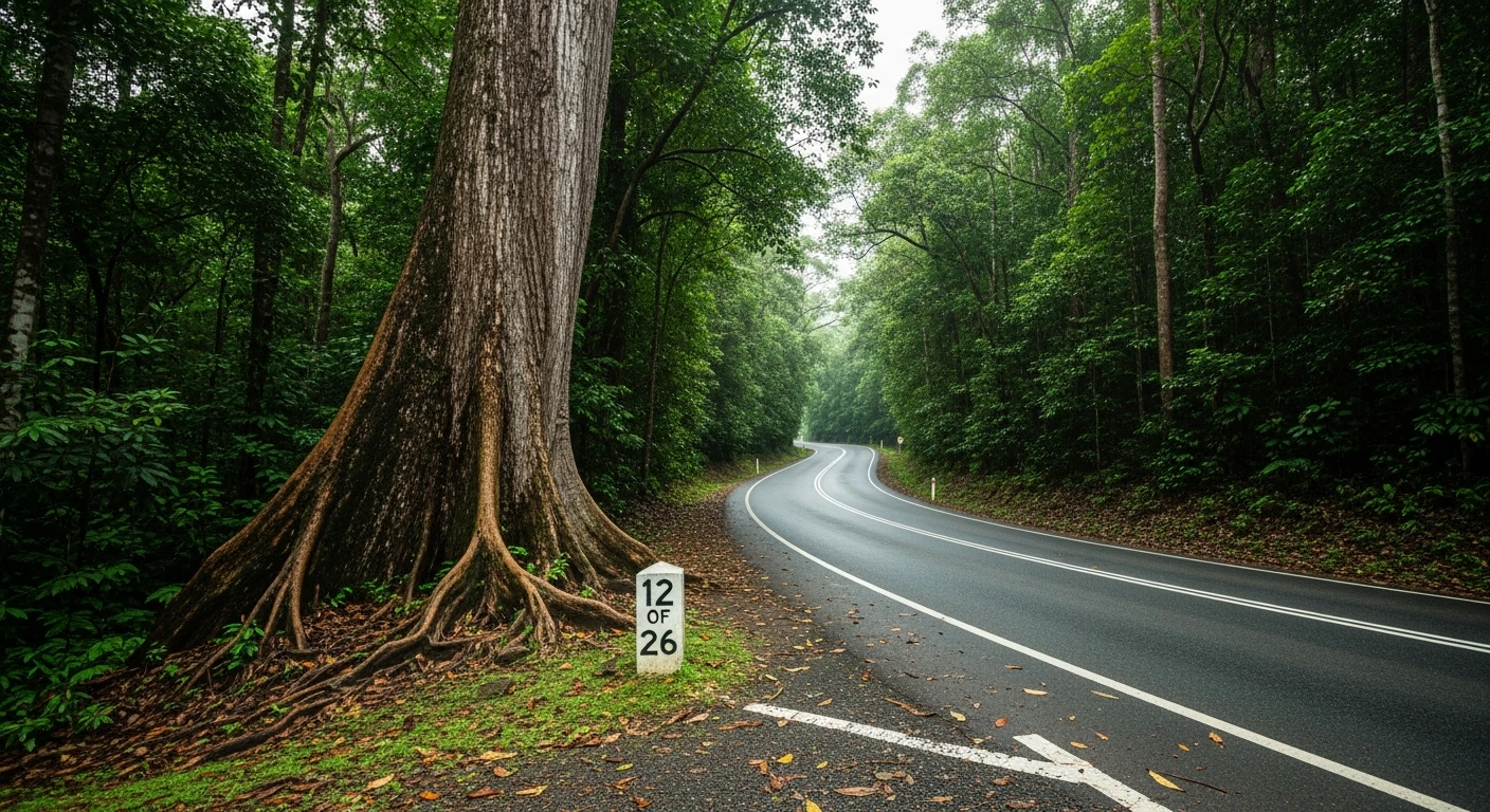
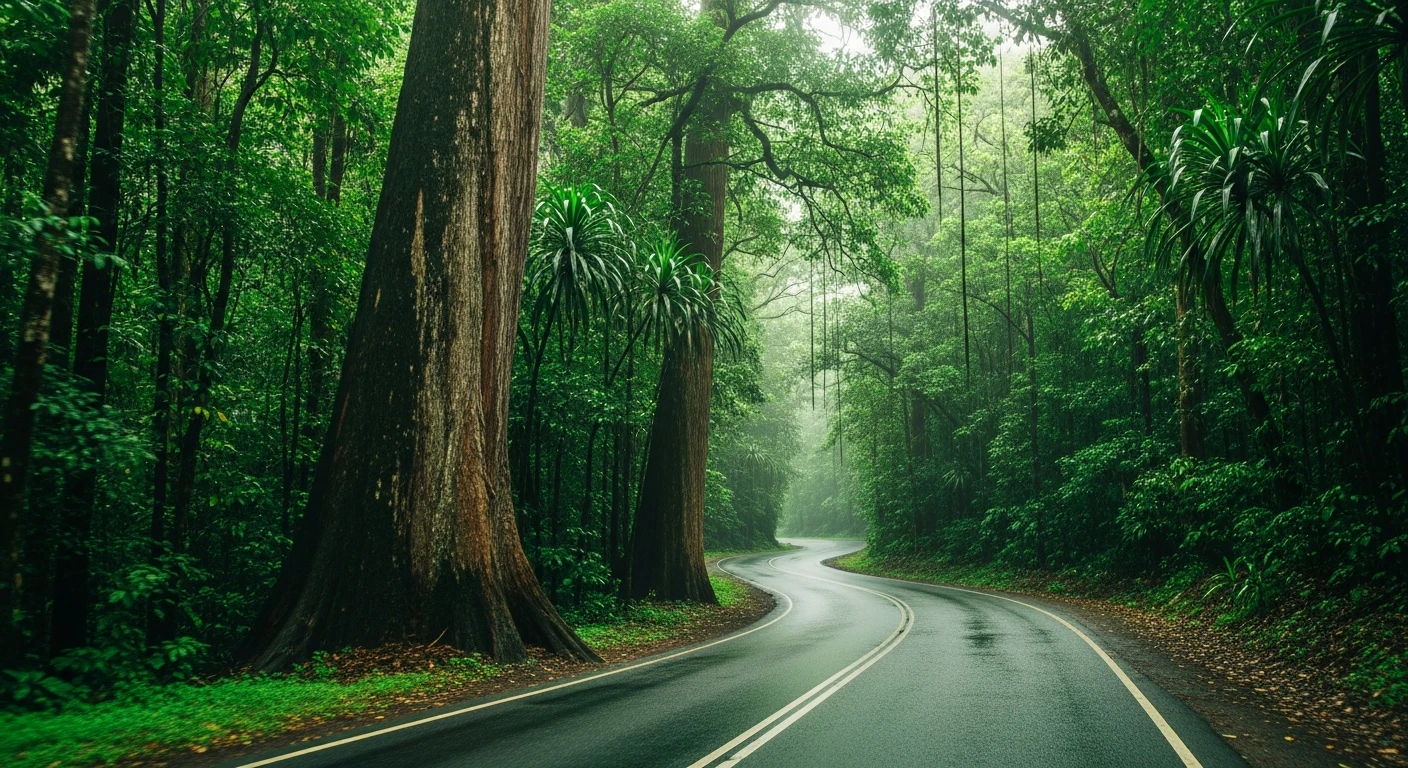
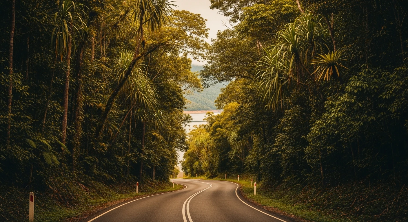
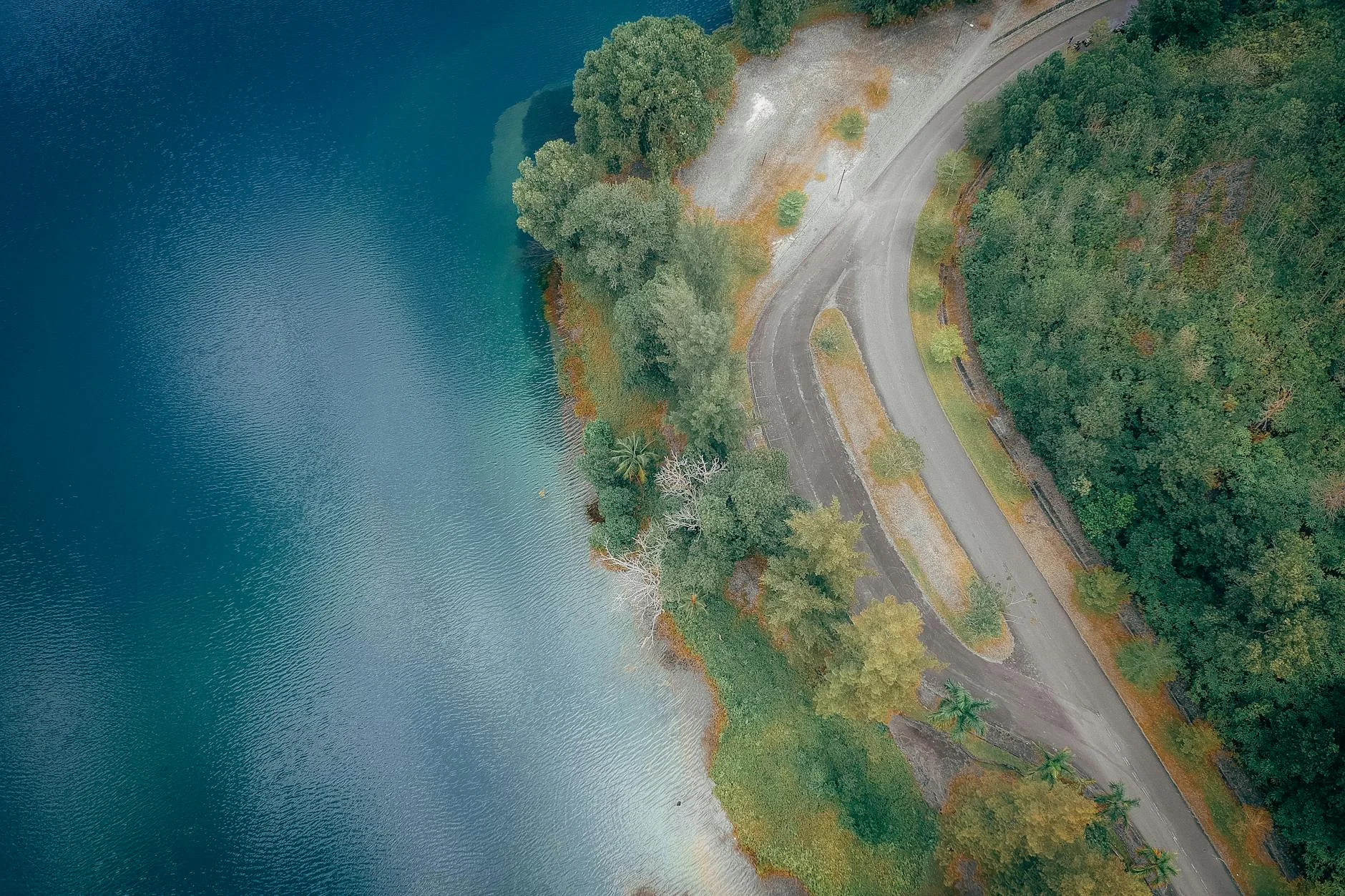
The Lake Morris Road climbs 16 kilometres from Reservoir Road on the edge of the Cairns urban area to Copperlode Falls Dam, the city's main water supply reservoir. The narrow sealed road through wet sclerophyll forest gives no indication from the bottom of what it will become at the top. The lower section is wide enough for two vehicles to pass comfortably; the upper section narrows to a single lane with passing bays. The Targa Great Barrier Reef rally uses this road as a competitive stage at 11.52 km - the competitive section excludes the lower approach. The full 16-kilometre drive from Reservoir Road to the dam wall is the version worth doing. The reward is a mountain lake with 39 kilometres of shoreline, completely invisible from the city below. The reservoir is managed by Cairns Regional Council for water supply, which means the access road is maintained to a higher standard than its remote character suggests. Size restrictions apply - no caravans or coaches.
The Lake Morris Road climbs 16 kilometres from Reservoir Road on the edge of the Cairns urban area to Copperlode Falls Dam, the city's main water supply reservoir.
Why this road
The region
Cairns is the gateway city for tropical Far North Queensland, with a population of around 160,000 and a climate dominated by the wet and dry seasons. The mountains that form the backdrop to the city are part of the Wet Tropics World Heritage Area, one of the oldest continuously surviving tropical rainforests on earth.
Before you go
Access from Reservoir Road via Brinsmead - turn left onto Lake Morris Road. The reservoir area is closed to the public beyond the carpark. No caravans or coaches. 30-minute drive from Cairns city centre.
See a routing error?
Flag itWorth stopping for
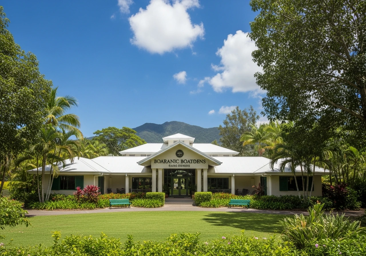
Cairns Botanic Gardens
World-class tropical gardens a short drive from the route start, worth allowing an hour for.
Red Arrow Walk
Walking track from the botanic gardens into the rainforest, accessible from the lower approach.
Route
Start
Reservoir Road
End
Lake Morris (Copperlode Dam)
Gallery
More roads like this