Saw Back Track
6 km
distance
1h
Contour time
2.0
difficulty
Unsealed
surface
Scenery
Tasmania
The Central Highlands around Bronte Park is Tasmania's fishing and hydro-electricity heartland - a landscape of button...
Road quality
Grade 2
Every segment scored on 40+ data signals.
Accessibility
Fully sealed
Best in 4WD. Peak season: Summer (Dec-Mar).
7-day forecast
Highly technical Central Highlands track. The maximum difficulty rating reflects the wet, rocky and root-laden surface. Suitable for experienced drivers in a capable 4WD with appropriate tyres. Summer only - track is extremely challenging in wet or cold conditions.
Recommended gear: Recovery boards, Snatch strap, Hi-lift jack, Tyre repair kit, Warm clothing (mandatory).
The road
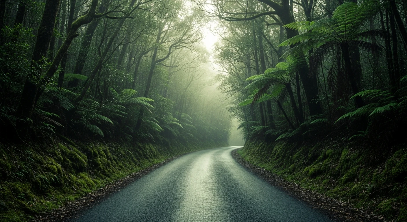
Saw Back Track is the Central Highlands at maximum difficulty. The 6-kilometre track near Bronte Park crosses quartzite ridgeline terrain that gives the track its name - the jagged rock outcrops along the ridge resemble the teeth of a saw. The surface combines wet rock, exposed roots and highland mud in a combination that Tasmania specialises in. Bronte Park records some of the lowest summer temperatures in the state and the buttongrass plains and pencil pine around the track are characteristic highland vegetation. Lake St Clair 40 minutes away is the deepest natural lake in Australia and the southern terminus of the Overland Track. The drive out to this area is itself part of the experience - the Tasmanian Central Highlands are one of the most distinctive landscapes in the country.
Saw Back Track is the Central Highlands at maximum difficulty.
Why this road

The region
The Central Highlands around Bronte Park is Tasmania's fishing and hydro-electricity heartland - a landscape of button grass plains, pencil pine, leatherwood and highland lakes. The Saw Back ridgeline takes its name from the jagged quartzite outcrops that characterise the upper sections. The area is cold and wet even in summer - Bronte Park records some of the lowest summer temperatures in Tasmania.

Before you go
Fuel in Bronte Park or Bothwell. Summer driving only - the track becomes extremely hazardous in cold or wet conditions. Warm and waterproof gear even in December-January. The Central Highlands can receive snow at any time of year. Allow a full day.
See a routing error?
Flag itWorth stopping for
Lake St Clair National Park
The southern end of the Overland Track, 40 minutes from Bronte Park - Lake St Clair is the deepest natural lake in Australia and extraordinary in all seasons.
Bradys Lake
A Central Highland trout fishing lake close to Bronte Park - excellent access for fly and spin fishing in season.
Route
Start
Central Highlands, Bronte Park
End
Saw Back ridge
Gallery

More roads like this