Climies Track (Difficult)
9 km
distance
1h 5m
Contour time
8.4
avg score
Unsealed
surface
Scenery
Tasmania
The Tarkine and Zeehan district is Tasmania's most extreme 4WD country. Corinna is a tiny settlement at the Pieman...
Road quality
8.4 RQS
Strong. Above average on most quality signals.
Accessibility
Fully sealed
Best in 4WD. Peak season: Summer (Dec-Mar).
7-day forecast
Technical Tarkine track with elevated recovery risk due to the region's extreme rainfall and remoteness. The western Tasmania coast receives more than 3,000mm of annual rainfall - the track is wet, rooty and muddy for most of the year. Summer is the only practical window.
Scored 8.4/10 by Contour's road quality algorithm across curviness, surface, elevation and traffic. Best suited for 4wd drivers.
The road
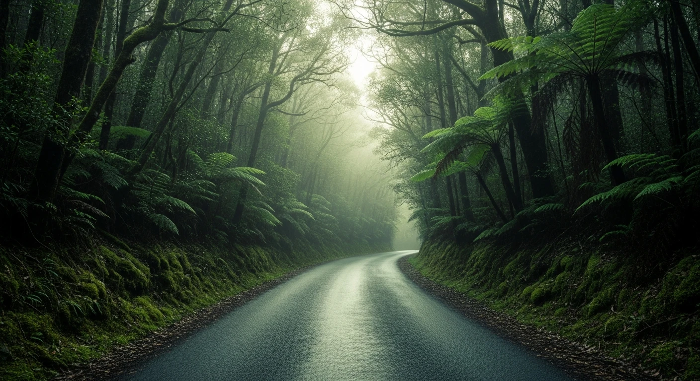
Climies Track (Difficult) crosses the Tarkine and Zeehan district - Tasmania's most extreme 4WD country. The 9-kilometre track connects the Corinna area to the Zeehan district through dolerite and quartzite terrain characteristic of the west coast wilderness. The western Tasmania coast receives more than 3,000mm of annual rainfall, which means the track is wet, rooty and muddy for most of the year. Summer is the only practical window. Corinna at the southern end is a tiny settlement at the Pieman River crossing - accessible only by punt - and one of the best positions in the Tarkine for river canoeing and rainforest immersion. The Zeehan mining museum (West Coast Heritage Centre) is one of Australia's best regional museums, documenting the silver and lead mining boom that built these towns.
Climies Track (Difficult) crosses the Tarkine and Zeehan district - Tasmania's most extreme 4WD country.
Why this road

The region
The Tarkine and Zeehan district is Tasmania's most extreme 4WD country. Corinna is a tiny settlement at the Pieman River crossing - accessible only by punt. Zeehan is a former silver-lead mining town with a remarkable mining heritage museum. The track between these points crosses the rugged dolerite and quartzite country characteristic of the west coast wilderness.

Before you go
Fuel in Zeehan or Queenstown. Satellite comms mandatory - the western Tarkine has no mobile coverage and the terrain makes rescue extremely difficult. Summer only. All-terrain tyres not optional. Full recovery kit. Allow a full day minimum.
See a routing error?
Flag itWorth stopping for
Corinna and the Pieman River
The tiny settlement at the Pieman River is accessed by punt and is one of the best positions in the Tarkine - canoe hire, fishing and absolute rainforest wilderness.
Zeehan mining museum (West Coast Heritage Centre)
One of the best outback mining museums in Australia - the silver and lead mining history of Zeehan is extraordinarily well documented.
Route
Start
Tarkine/Corinna area
End
Climies Track end
Gallery

More roads like this