Pooginook Boundary Track
11 km
distance
1h 50m
Contour time
5.0
difficulty
Unsealed
surface
Scenery
South Australia
The Riverland mallee east of Waikerie is one of SA's least-visited landscapes - a broad belt of mallee eucalypt on deep...
Road quality
Grade 5
Every segment scored on 40+ data signals.
Accessibility
Fully sealed
Best in 4WD. Peak season: Autumn-Spring.
7-day forecast
Deep sandy mallee track requiring proper tyre deflation. The difficulty rating reflects the challenging sand conditions more than any extreme obstacle. A well-prepared stock 4WD with deflated tyres handles this track - underprepared vehicles will bog.
Recommended gear: Recovery boards, Snatch strap, Tyre deflator/inflator, Hi-lift jack.
The road
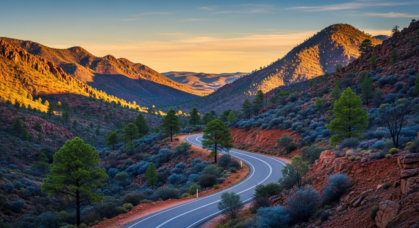
Pooginook Boundary Track is an 11-kilometre sandy mallee track in the Riverland east of Waikerie, following the perimeter of Pooginook Conservation Park through one of South Australia's least-visited landscapes. The deep red sand is the defining feature - tyre deflation to 20-22 psi is not optional, and underprepared vehicles will bog in the softer sections. The mallee ecosystem protected by Pooginook is one of the most biodiverse in the state for lizards and native bird species. The multi-stemmed mallee eucalypts grow on deep sand country that extends toward the NSW border, and the conservation park boundary that the track follows was drawn to protect a remnant of this habitat. The landscape looks repetitive from a distance but the biodiversity underfoot and in the canopy is remarkable. The Riverland context adds to the appeal. Waikerie is the centre of SA's citrus industry, and the Murray River frontage at the town is one of the better sections for waterbird viewing. The contrast between the irrigated orange orchards on the river flats and the bone-dry mallee sand country 20 minutes inland is striking. Allow a full day for the track - the sand is unpredictable and the isolation is complete.
Why this road

The region
The Riverland mallee east of Waikerie is one of SA's least-visited landscapes - a broad belt of mallee eucalypt on deep red sand extending toward the NSW border and the lower Murray. Pooginook Conservation Park protects a remnant of this mallee ecosystem, one of the most biodiverse in SA for lizards and native bird species. The boundary track follows the conservation park perimeter through sandy mallee country.

Before you go
Fuel in Waikerie or Renmark. Deflate tyres before entering sandy sections - 20-22psi is appropriate for this terrain. Carry recovery boards. The sand can be deep and unpredictable. No phone coverage in the mallee. Allow a full day.
See a routing error?
Flag itWorth stopping for
Waikerie orange orchards
The Riverland town is the centre of SA's citrus-growing industry - the orange orchards on the Murray river flats are at their best in winter harvest.
Murray River, Waikerie
The Murray frontage at Waikerie is one of the better sections for a houseboat or camping experience - good pelican and waterbird habitat.
Route
Start
Riverland Waikerie region
End
Pooginook boundary north
Gallery

More roads like this