Palmerston Highway
60 km
distance
50 min
Contour time
6.3
avg score
Sealed
surface
Scenery
Queensland
The Palmerston Highway connects the Cassowary Coast to the Atherton Tablelands via the southern section of the Wet...
Road quality
6.3 RQS
Every segment scored on 40+ data signals.
Accessibility
Fully sealed
Best in Motorbike & Rally. Peak season: Apr-Oct.
7-day forecast
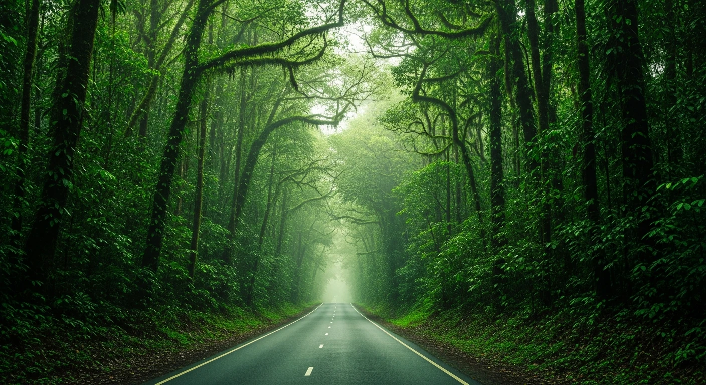
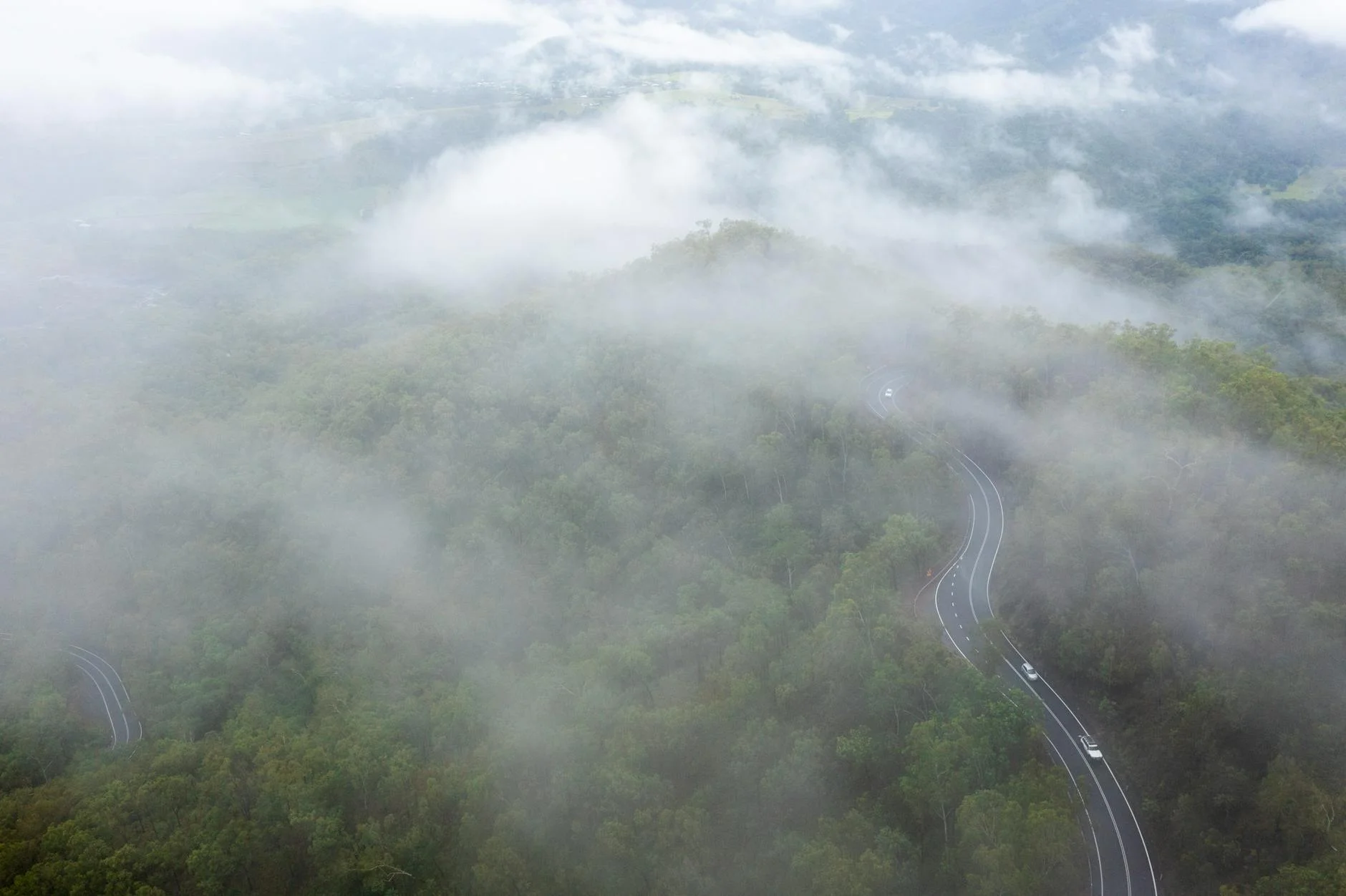
One of Australia's great drives. 55 kilometres, 800 metres of elevation gain, World Heritage rainforest. Worth a dedicated trip from Cairns.
Scored 6.3/10 by Contour's road quality algorithm across curviness, surface, elevation and traffic. Best suited for motorbike & rally drivers.
The road
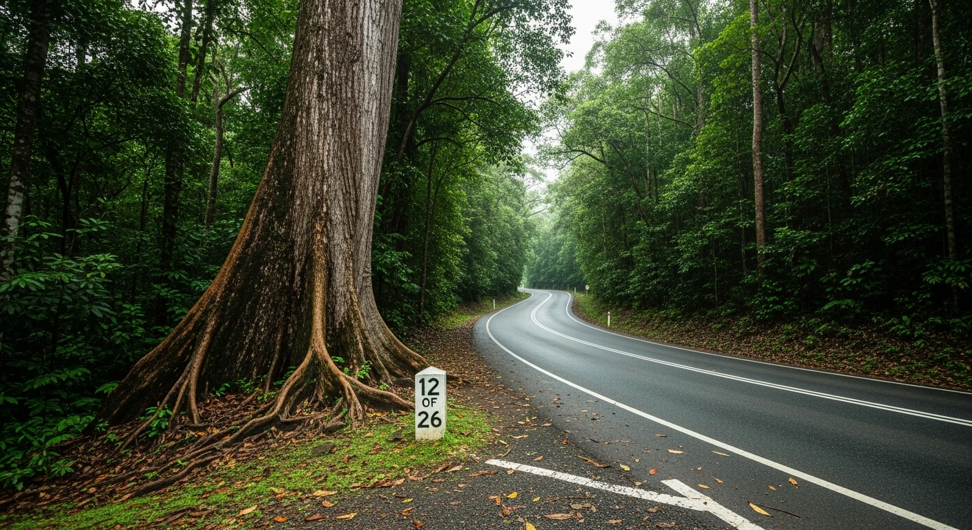
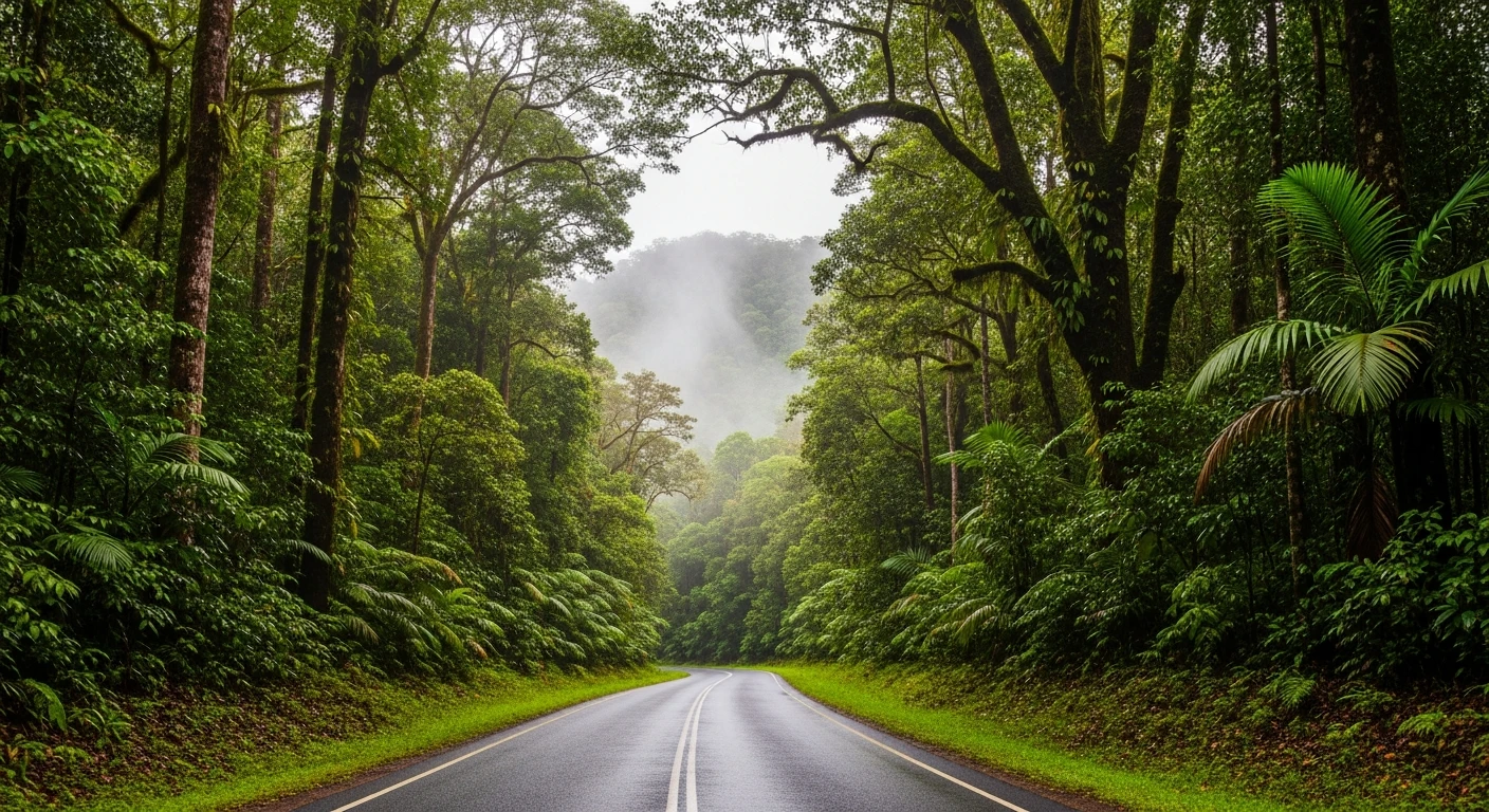
The Palmerston Highway is 55 kilometres from the Innisfail coastal plain to the Atherton Tablelands, with 800 metres of elevation gain concentrated in the 28-kilometre escarpment climb - one of Australia's great short drives. The road climbs through the Wet Tropics World Heritage Area, the rainforest closing completely overhead within the first few kilometres. The corners are tight and constant on the way up, the surface is well maintained, and the traffic is light on weekdays. At the top the road breaks out onto the Atherton Tablelands at Millaa Millaa with coffee and cheese available within five minutes of the summit.
Why this road
The region
The Palmerston Highway connects the Cassowary Coast to the Atherton Tablelands via the southern section of the Wet Tropics World Heritage Area. The rainforest on the escarpment face is subtropical and contains species found nowhere else - cassowaries, tree kangaroos and several endemic bird species. The road was built in the 1960s to provide a second access route to the tablelands.

Before you go
Fuel in Innisfail at the base and Millaa Millaa at the top. The Millaa Millaa Falls and the tablelands cheese factory are 5 minutes from the summit. Best driven April to October. Cassowaries cross the road in the lower section - drive carefully and do not stop near them.
See a routing error?
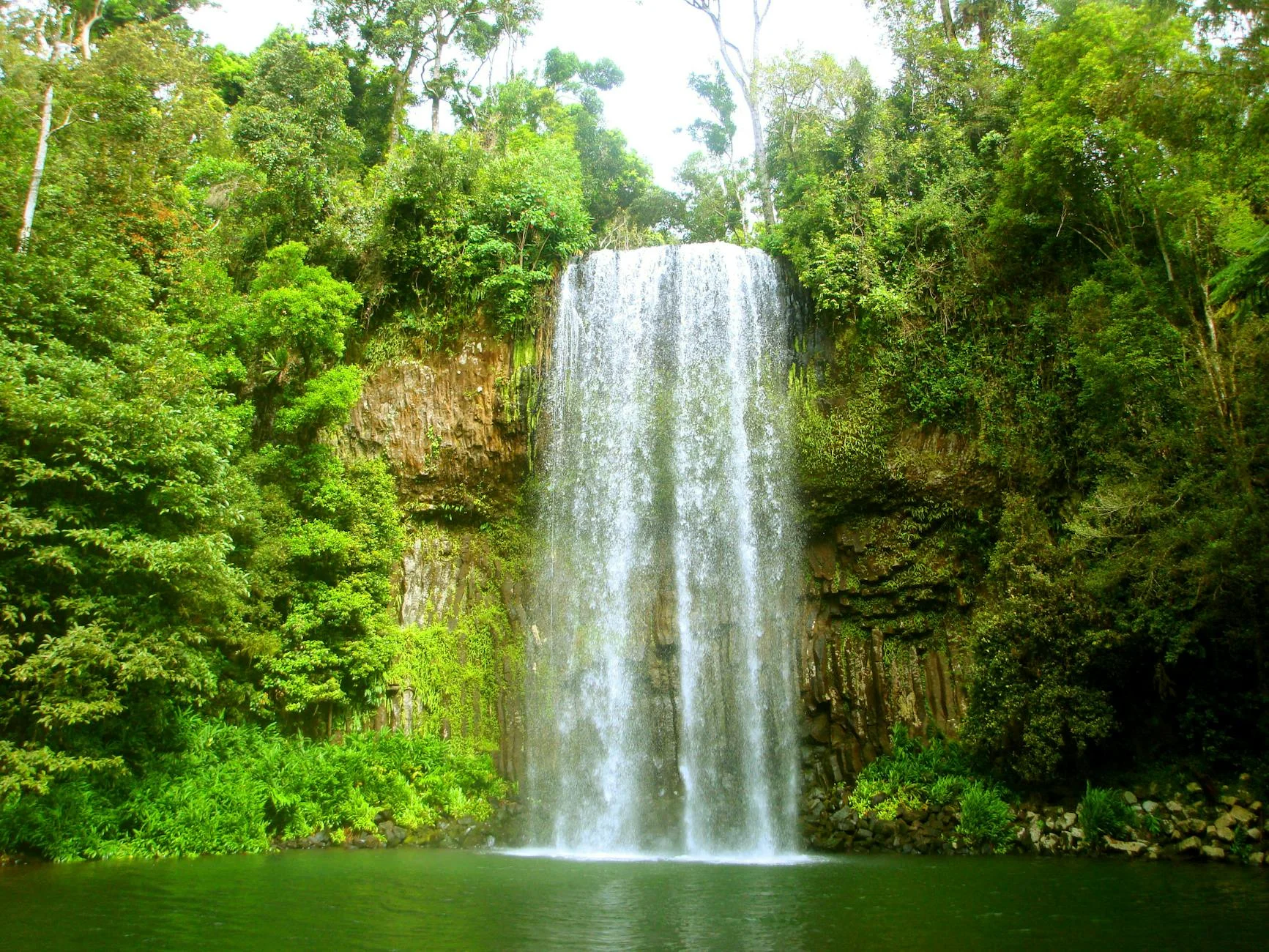
Flag itWorth stopping for
Millaa Millaa Falls
One of Queensland's most photographed waterfalls, 5 minutes from the top of the highway.
Atherton Tablelands Cheese
The tablelands dairy industry produces excellent cheese available at farm gates near Millaa Millaa.
Route
Start
Innisfail
End
Millaa Millaa
Gallery
More roads like this