Old Wickham Road
5.5 km
distance
40 min
Contour time
3.9
difficulty
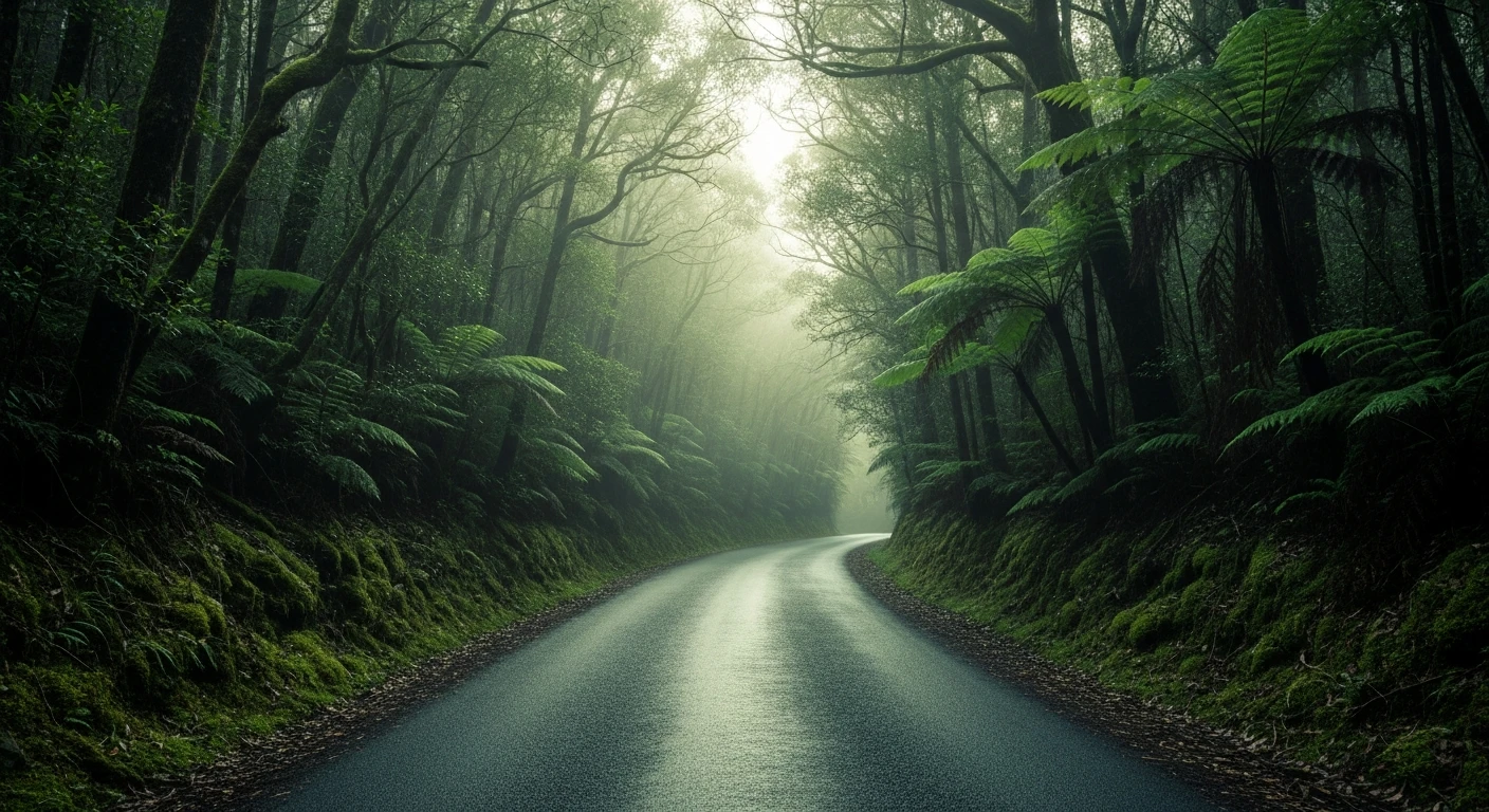
Unsealed
surface
Scenery
Tasmania
King Island sits in the middle of the treacherous Bass Strait, 80km north of the Tasmanian coast. The island is famous...
Road quality
Grade 3.89
Every segment scored on 40+ data signals.
Accessibility
Fully sealed
Best in 4WD. Peak season: Year-round.
7-day forecast
Island track with moderate difficulty and the unique character of King Island 4WD. The isolation factor is significant - King Island is a fly-in or ferry destination and vehicle preparation is more consequential than on the mainland.
Recommended gear: Recovery boards, Snatch strap, Waterproof gear.
The road
Old Wickham Road is a King Island track with a character that no mainland route can replicate. King Island sits in the middle of Bass Strait, 80 kilometres from the Tasmanian coast. The 5.5-kilometre track connects to the island's west coast kelp and dairy country through a landscape shaped by extraordinary winds, maritime history and premium food production. The island has over 50 major shipwrecks on its coasts from the age of sail - the Cataraqui disaster of 1845 killed 399 people and remains Australia's worst peacetime maritime disaster. The King Island Dairy in Currie produces some of Australia's finest artisan cheese. The isolation factor is significant - King Island is a fly-in or ferry destination and vehicle preparation is more consequential than on the mainland. The Cape Wickham lighthouse is Australia's tallest.
Old Wickham Road is a King Island track with a character that no mainland route can replicate.
Why this road

The region
King Island sits in the middle of the treacherous Bass Strait, 80km north of the Tasmanian coast. The island is famous for three things: Kelp Industries (the world's largest alginate processing operation), premium dairy products (KI cheese and cream), and an extraordinary maritime history - over 50 major shipwrecks on its coasts from the great age of sail. The Old Wickham Road connects to the island's west coast kelp and dairy country.

History
King Island's maritime history is extraordinary. The Calcutta (1802), Catherine Shearer (1855), Cataraqui (1845 - Australia's worst peacetime maritime disaster) and dozens of other vessels were wrecked on the island's coast. The King Island Museum in Currie documents the wrecks and the settlement of the island from the 1880s sealing and kelping era.
Before you go
Access to King Island by Rex or Sharp Airlines from Melbourne, Essendon or Launceston, or by vehicular ferry from Devonport (seasonal). If taking your own vehicle, the ferry is seasonal - check schedules. Fuel in Currie. The island climate is cool and windy year-round - waterproofs always.
See a routing error?
Flag itWorth stopping for
King Island Dairy
One of Australia's finest artisan cheese operations - the creamery at Currie has a retail outlet where you can buy the island's legendary brie, camembert and cloth-bound cheddar.
Currie lighthouse and maritime museum
The Cape Wickham lighthouse is the tallest in Australia - the maritime museum in Currie documents the extraordinary wreck history of Bass Strait.
Route
Start
King Island, Currie area
End
Old Wickham Road end
Gallery

More roads like this