Enduro Track
9.5 km
distance
1h 10m
Contour time
3.0
difficulty
Unsealed
surface
Scenery
Tasmania
The Central North highlands behind Deloraine are part of the Great Western Tiers - the dramatic escarpment that forms...
Road quality
Grade 3
Every segment scored on 40+ data signals.
Accessibility
Fully sealed
Best in 4WD. Peak season: Summer (Dec-Mar).
7-day forecast
Moderate difficulty track used by both 4WD vehicles and enduro motorcycles. The Tasmanian highland climate makes this track consistently challenging - wet weather is the norm rather than the exception. Best in summer.
Recommended gear: Recovery boards, Snatch strap, Waterproof gear.
The road
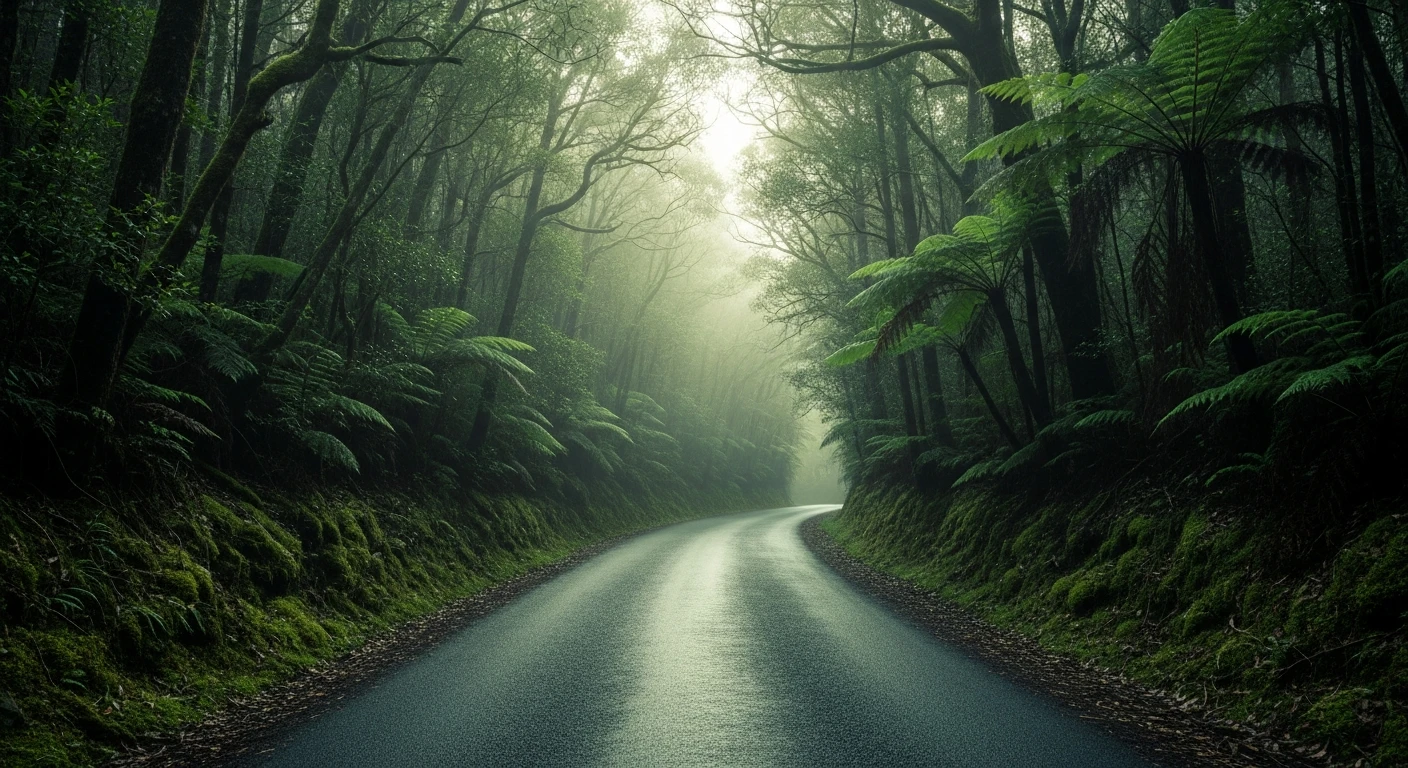
Enduro Track sits in the Central North Tasmania highlands behind Deloraine - the Great Western Tiers escarpment country where the highland plateau drops dramatically to the north coast plains. The 9.5-kilometre track is used by both 4WD vehicles and enduro motorcycles, which means the surface is well-defined but narrow. The Tasmanian highland climate makes this track consistently challenging - wet is the default condition and the rock and root surfaces require care even in summer. Deloraine itself is one of Tasmania's most liveable small towns. The Mole Creek cave systems 20 minutes west include Marakoopa and King Solomon caves - among the best accessible caves in Australia.
Enduro Track sits in the Central North Tasmania highlands behind Deloraine - the Great Western Tiers escarpment country where the highland plateau drops dramatically to the north coast plains.
Why this road

The region
The Central North highlands behind Deloraine are part of the Great Western Tiers - the dramatic escarpment that forms the southern wall of the north Tasmanian plains. The area contains excellent 4WD and enduro terrain, a mix of highland wetland, dolerite rock features and eucalypt forest. Deloraine itself is one of Tasmania's most liveable small towns.

Before you go
Fuel in Deloraine. Summer recommended. Waterproof gear essential. Standard recovery kit adequate. The track is used by enduro bikes and 4WDs - be aware of other users in tight sections.
See a routing error?
Flag itWorth stopping for
Mole Creek Karst National Park
The cave systems at Mole Creek (Marakoopa and King Solomon caves) are among the best accessible caves in Australia - 20 minutes west of Deloraine.
Deloraine township
One of Tasmania's nicest regional towns with good food, a weekly craft market and the Yarns Artwork in Silk gallery dedicated to Tasmanian history.
Route
Start
Central North Tasmania, Deloraine region
End
Enduro Track end
Gallery

More roads like this