Mount Margaret Track
11.5 km
distance
1h 55m
Contour time
5.1
avg score
Unsealed
surface
Scenery
Victoria
Mount Margaret sits in the ranges between Walhalla and the Baw Baw plateau - one of Gippsland's most historic mountain...
Road quality
5.1 RQS
Every segment scored on 40+ data signals.
Accessibility
Fully sealed
Best in 4WD. Peak season: Summer-Autumn.
7-day forecast
Near-maximum difficulty with good terrain variety. High clearance and low-range are both required. A capable stock 4WD handles this track with proper preparation. One of the best long-distance tracks in the Walhalla/Baw Baw corridor.
Scored 5.1/10 by Contour's road quality algorithm across curviness, surface, elevation and traffic. Best suited for 4wd drivers.
The road
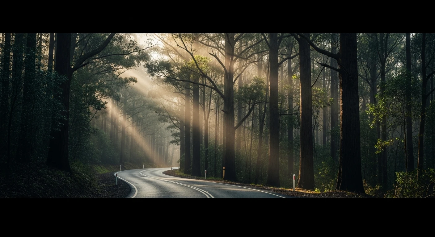
Mount Margaret Track is one of the more challenging tracks in the Walhalla district - a near-maximum difficulty route through the ranges between Walhalla and the Baw Baw plateau. The 11.5-kilometre track climbs through tall mountain ash forest on steep grades with rocky surfaces that require low-range and good ground clearance throughout. The connection to Walhalla's gold rush history gives this track additional weight. The Long Tunnel Extended mine produced one of the richest gold reefs in Victoria's history, and the ranges around Mount Margaret were heavily prospected during the 1860s-80s rush. Remnants of that era - mine workings, track cuttings, old camp clearings - are visible from the track in places. The mountain ash forest on the approach is among the tallest in the state and the summit section gives ridge views back toward Walhalla that justify the effort. A minimum two-vehicle approach is recommended for the technical sections. The combination of 4.98 difficulty and 5.11 RRI means this is a track where preparation matters more than enthusiasm.
Mount Margaret Track is one of the more challenging tracks in the Walhalla district - a near-maximum difficulty route through the ranges between Walhalla and the Baw Baw plateau.
Why this road

The region
Mount Margaret sits in the ranges between Walhalla and the Baw Baw plateau - one of Gippsland's most historic mountain mining areas. Walhalla was a major gold town of 4,000 people in the 1880s; today it has about 20 permanent residents and one of the best-preserved historical main streets in Victoria. The mountain ash forest on the approach to Mount Margaret is among the tallest in the state.

History
The Walhalla gold rush of the 1860s-80s produced the Long Tunnel Extended mine - one of Victoria's most productive single gold reef deposits. The railway to Walhalla was the last in Victoria to operate at a narrow-gauge commercial level, closing in 1944. The heritage railway now runs weekend excursions from Erica.
Before you go
Fuel in Moe or Walhalla general store. Allow a full day. The track is challenging enough to warrant a minimum two-vehicle approach if possible. Standard High Country recovery kit. Check conditions after rain.
See a routing error?
Flag itWorth stopping for
Walhalla historic township
One of Victoria's best-preserved gold rush towns - the main street, Walhalla cemetery (one of the most beautifully sited in Australia) and the Long Tunnel mine tour.
Thomson River Valley
The valley below Walhalla has excellent trout fishing and bush camping spots accessible on the Thomson River Road 4WD track.
Route
Start
Gippsland ranges, Walhalla district
End
Mount Margaret summit area
Gallery

More roads like this