Bardwell Umbango Track
9 km
distance
1h 5m
Contour time
3.0
difficulty
Unsealed
surface
Scenery
Victoria
The Holbrook district straddles the NSW-Victorian border on the Hume Highway corridor. The area is known for its merino...
Road quality
Grade 3.05
Every segment scored on 40+ data signals.
Accessibility
Fully sealed
Best in 4WD. Peak season: Autumn-Spring.
7-day forecast
High difficulty track with rocky spur terrain. The transition zone between the Murray Riverina and the upper elevation ranges around Holbrook produces interesting varied terrain. High clearance and low-range both required.
Recommended gear: Recovery boards, Snatch strap, Tyre repair kit.
The road
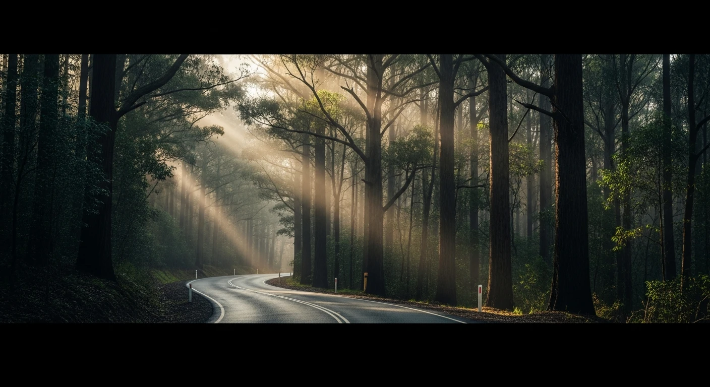
Bardwell Umbango Track sits in the transition zone between the Murray Riverina plains and the elevated ranges around Holbrook - an area that most 4WD travellers drive through on the Hume Highway without realising it has tracks worth running. The 9-kilometre track climbs from pastoral flat country into rocky spur terrain with genuine technical challenge. The surface alternates between loose rock and hardpacked clay, with off-camber sections on the spur ridgeline that require considered line choice. The elevation break between the flat Riverina below and the range country above gives the track views across merino farming country that extend to the horizon on clear days. This is not dramatic alpine terrain - it is the quieter, drier country that sits behind the famous ranges. High clearance and low-range are both required. The Holbrook district itself is worth exploring - the HMAS Otway submarine in the town park is one of Australia's most unexplained roadside attractions, a full-sized submarine sitting 500 kilometres from the nearest salt water.
Why this road

The region
The Holbrook district straddles the NSW-Victorian border on the Hume Highway corridor. The area is known for its merino wool heritage and the unusual inland character of the ranges at this latitude - more open and less dramatic than the Victorian Alps to the east but with a distinctive character. The Umbango range provides the elevation break that the track exploits for its technical sections.

Before you go
Fuel in Holbrook. Year-round track in dry conditions. Standard High Country/ranges preparation. Good for a day trip from Albury-Wodonga region.
See a routing error?
Flag itWorth stopping for
Holbrook submarine
The HMAS Otway submarine in the town park is one of Australia's most surprising roadside attractions - a full-sized naval submarine in the middle of a sheep farming town 500km from the sea.
Lake Hume
The large Murray River reservoir 40 minutes north of Holbrook is one of the better boating and fishing destinations in the NSW-VIC border region.
Route
Start
Murray Riverina, Holbrook region
End
Bardwell Umbango upper
Gallery

More roads like this